© Jörg
© Jörg
© Jörg
© Jörg
© Jörg
© Jörg
© Jörg
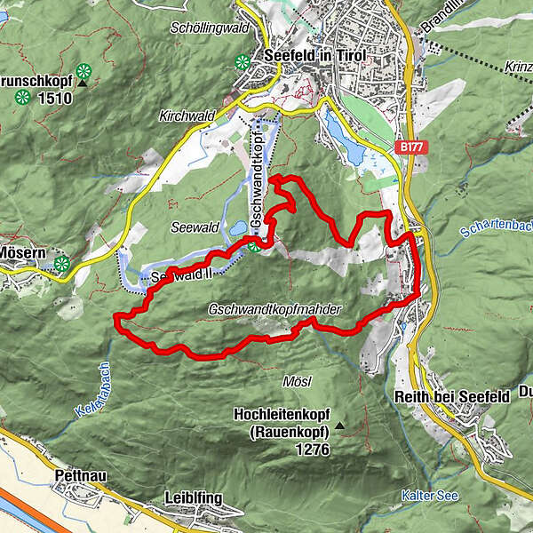
Tour data
9.66km
1,109
- 1,473m
387hm
383hm
02:00h
- Brief description
-
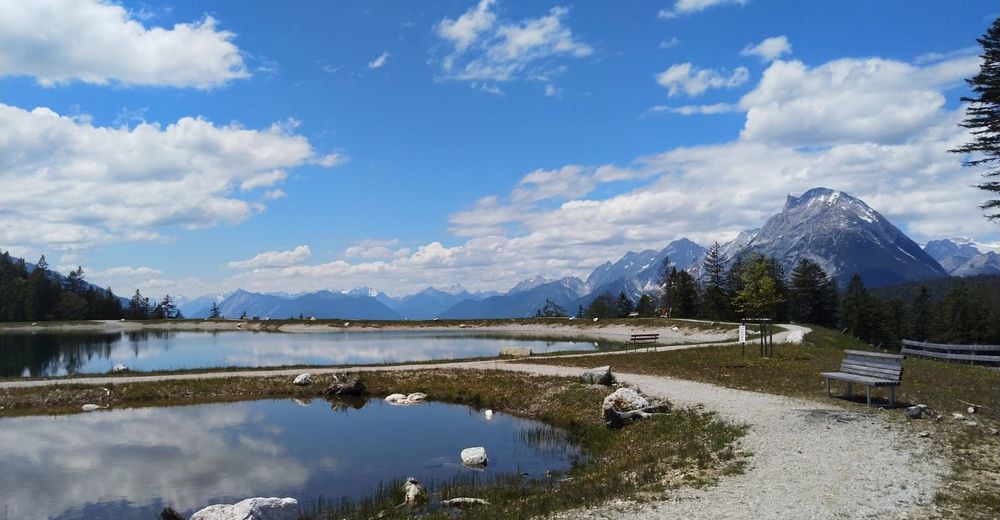
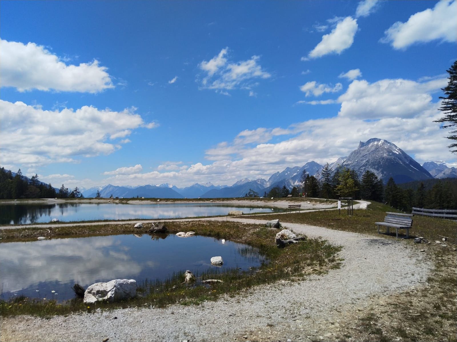
Genusstour
- Difficulty
-
medium
- Rating
-
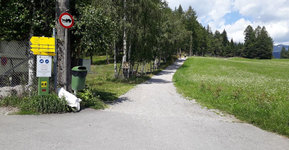
- Starting point
-
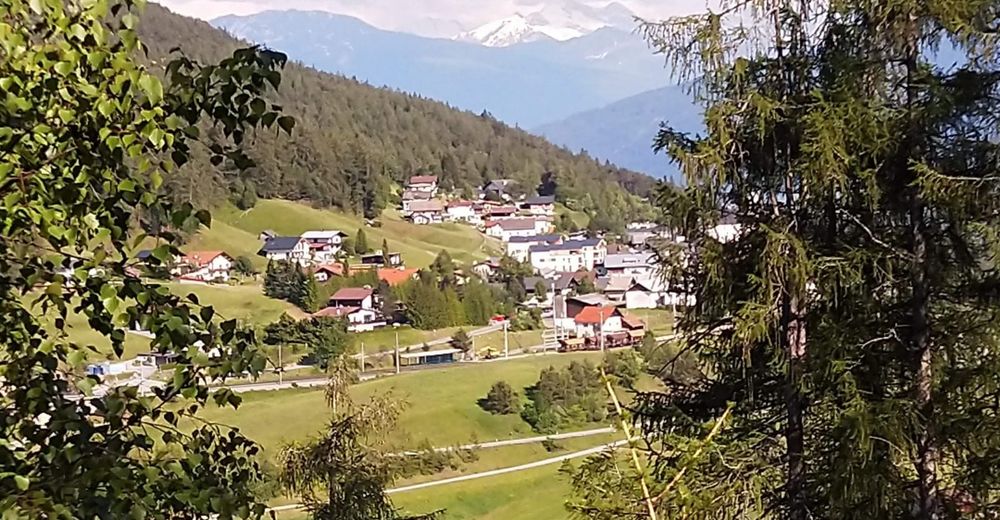
Auland
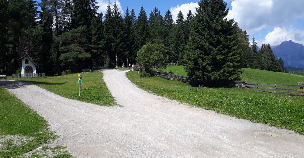
- Route
-
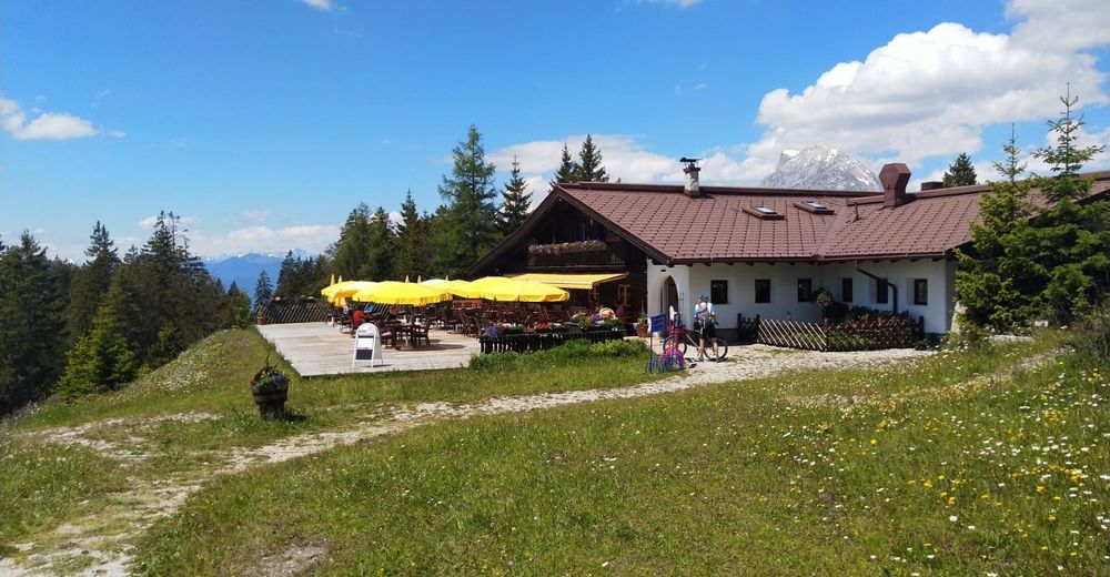
Gschwandtkopf (1,481 m)3.3 kmSonnalm3.5 kmEnzianhütte8.3 kmAuland8.9 km
- Best season
-
JanFebMarAprMayJunJulAugSepOctNovDec
- Highest point
- Gschwandtkopf (1,473 m)
- Endpoint
-
Gschwandtkopf
- Rest/Retreat
-
Sonnen Alm
- Information
- Ticket material
-
Kompass 026


- Info phone
-
+4352122490
- Link
- https://www.facebook.com/EMountainbikeHuettenga...
- Source
- Jörg
GPS Downloads


Surfaces
Asphalt
(10%)
Gravel
(90%)
Forest
Mountain paths
Single trails
Trial
Traffic
(10%)
Other tours in the regions