- Brief description
-
The small family round is ideal for exploring the surroundings of Oetz.
- Difficulty
-
easy
- Rating
-
- Starting point
-
center car park Oetz
- Route
-
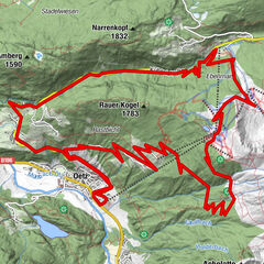
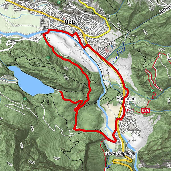
Oetz (812 m)0.2 kmHaidachkapelle0.7 kmSpielplatz Haidach0.8 kmKohlstatt3.7 kmHabichen5.1 kmOetz (812 m)6.2 km
- Best season
-
JanFebMarAprMayJunJulAugSepOctNovDec
- Description
-
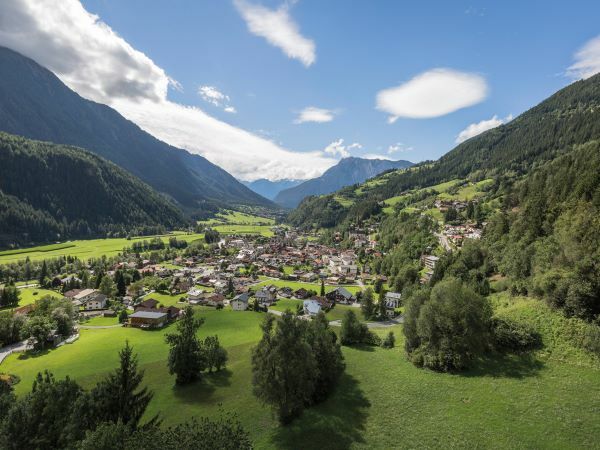
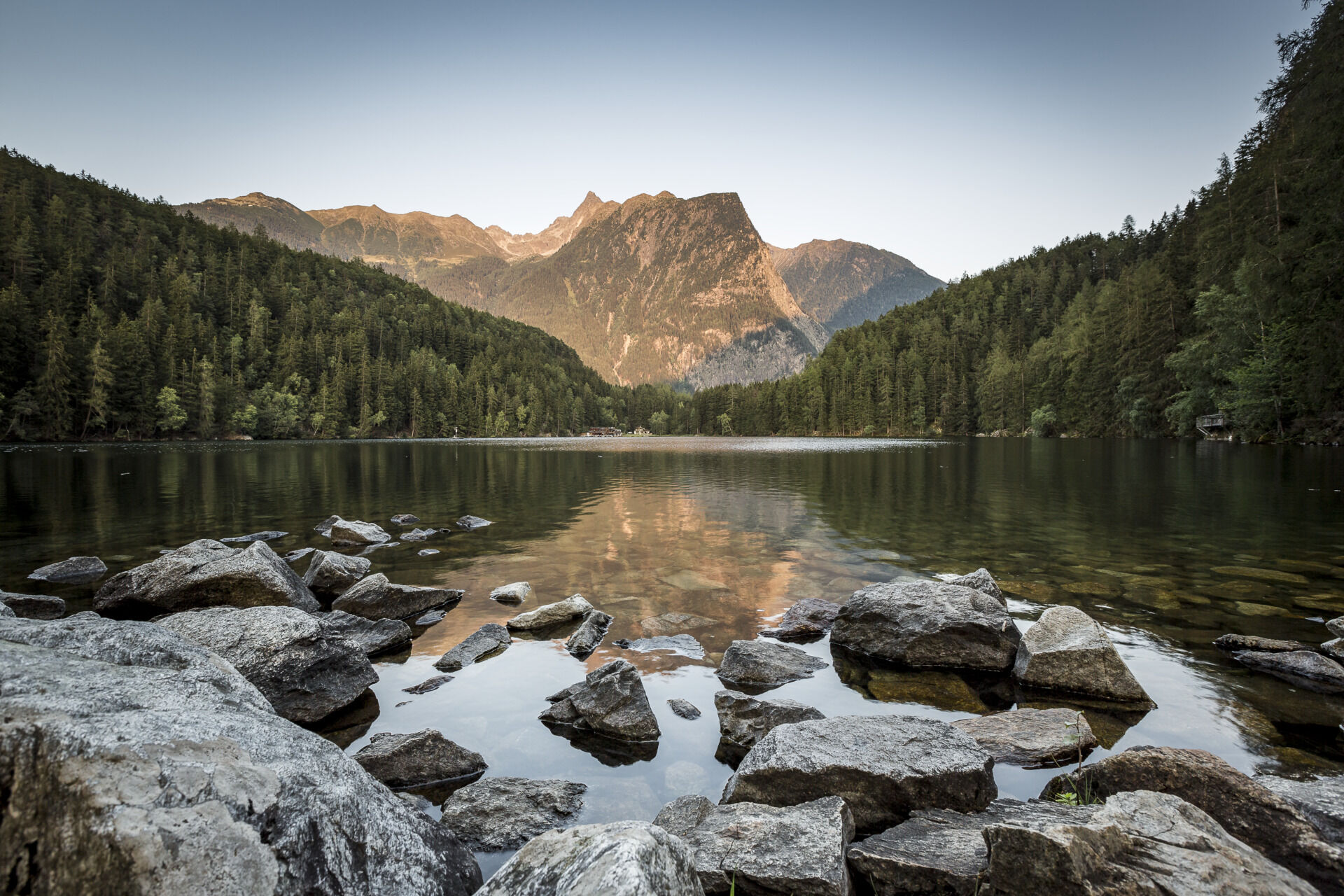
Nearly four kilometers along cycle paths and meadows can be mastered without difficulty for young junior bikers. Start is in Oetz, the main town at the beginning of the Oetztal. Screened, Oetz lies in a basin at the foot of the 3008-meter high Acherkogel. The climate here is particularly mild.
The tour leads southwards to the hamlet Habichen and in a loop back to Oetz. Some inns along the way invite you to a rest. Worthwhile is also a detour to the Ötztaler Ache, which foams at the height Habichen by a particularly narrow bed. Numerous kayak championships have already been held in the rapids.
- Directions
-
Nearly four kilometers along cycle paths and meadows can be mastered without difficulty for young junior bikers. Start is in Oetz, the main town at the beginning of the Oetztal. Screened, Oetz lies in a basin at the foot of the 3008-meter high Acherkogel. The climate here is particularly mild.
The tour leads southwards to the hamlet Habichen and in a loop back to Oetz. Some inns along the way invite you to a rest. Worthwhile is also a detour to the Ötztaler Ache, which foams at the height Habichen by a particularly narrow bed. Numerous kayak championships have already been held in the rapids.
- Highest point
- 928 m
- Endpoint
-
center car park Oetz
- Height profile
-

- Equipment
-
Approproate equipment such as breathable suitable outdoor clothes for the weather, helmet, gloves, glasses, GPS device or detailed maps. If there is no hut on the way please bring a snack and enough to drink.
- Safety instructions
-
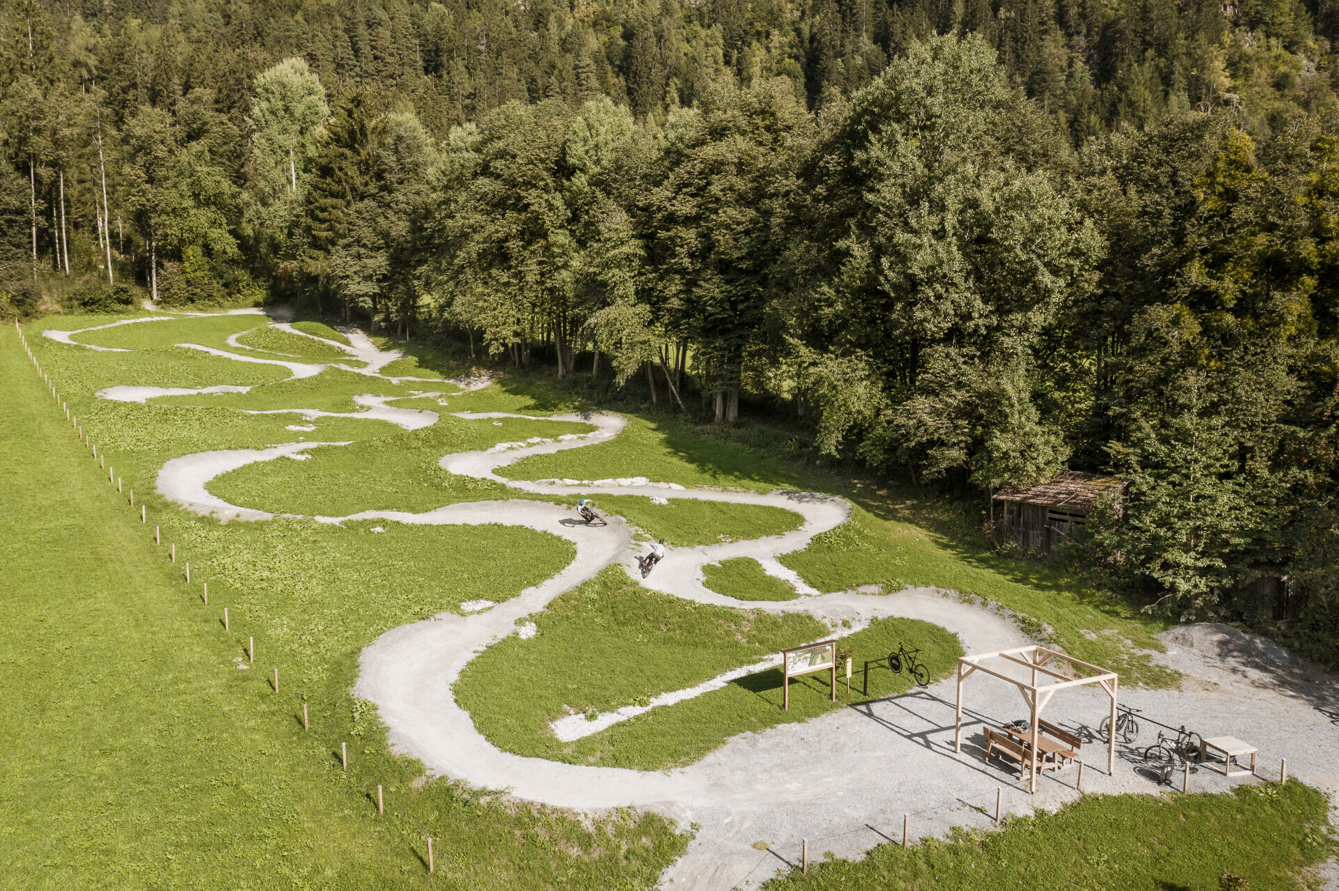
Family-friendly trekking or MTB route suitable also for standard bicycles, offering good road or trail surface (gravel, asphalt or similar surface). The gentle climbs do not require special skills, cycling techniques or above average stamina. Enjoyable cycling is the main priority.
- Tips
-
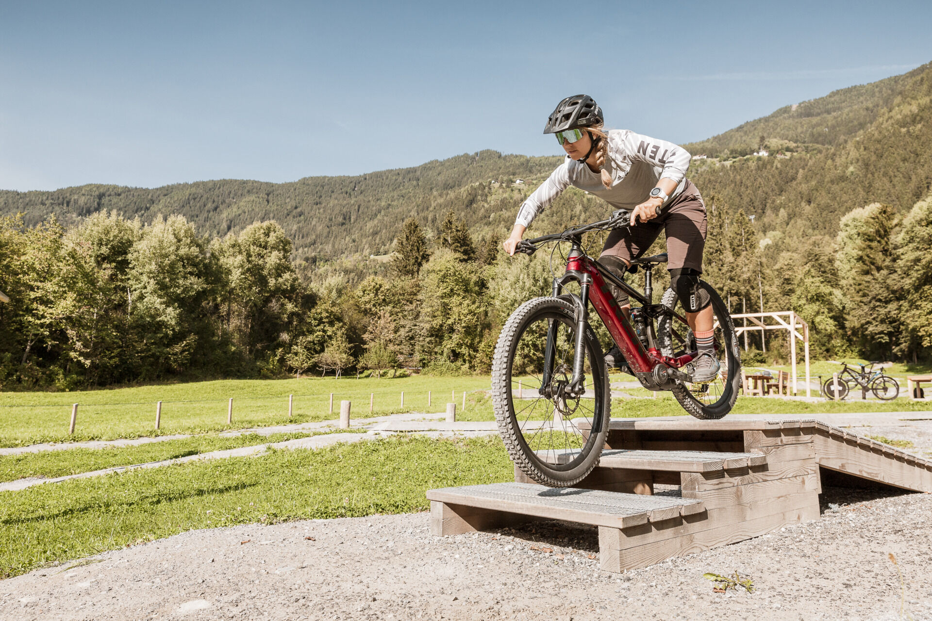
The tour runs along developed trails and is easily ridable by e-bike or mountain bike.
- Additional information
- Arrival
-
The car drive to the Ötztal valley. Situated in Tirol, the Ötztal valley set off in southerly direction and is the longest side valley in the Eastern Alps. The journey with the car leads you through the Inntal valley to the entrance of the vallly and further on through the valley. Among the toll motorways you can also use the country roads. A route planner will show you the easiest and most convenient way: www.google.at/maps.
- Public transportation
-
Travel safe and comfortable with the train to the Ötztal Bahnhof train station. Last stop and exit point is the train station Ötztal Bahnhof. Afterwards you can travel smoothly and quick with the public transport or out local taxi companies through the valley to your desired destination. Please find the current bus timetable here: fahrplan.vvt.at
- Parking
-
The following parking facilities are available in Oetz:
- center parking space Oetz, chargeable € 0,50/ car / 30 min
- Author
-
The tour 690 Oetzer Seenrunde is used by outdooractive.com provided.