
- Brief description
-
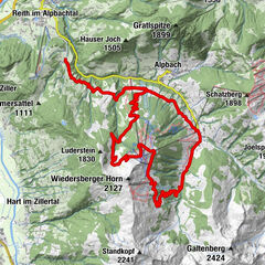
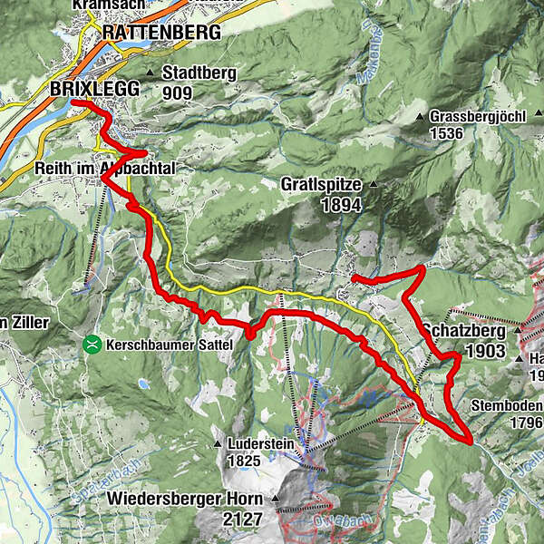
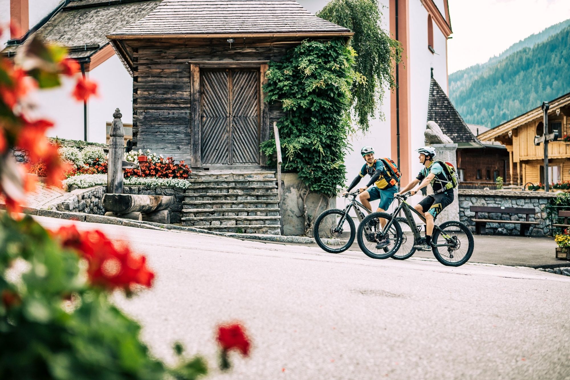
Day 1 – medium: Alpbachtal Seenland Mountain Bike Loop – from Brixlegg via Reith im Alpbachtal – Hygna - Inneralpbach and the Oberer Höhenweg to Alpbach
overnight in Alpbach
- Difficulty
-
medium
- Rating
-
- Starting point
-
Brixlegg Bikestop / accommodation in Kramsach
- Route
-
Weng (526 m)0.0 kmBrixlegg0.3 kmMehrn (560 m)0.8 kmPestkapelle1.3 kmAlpsteg (619 m)2.0 kmBischofsbrunn2.4 kmReith im Alpbachtal (638 m)3.0 kmReither Anger (659 m)3.4 kmKapelle Maria vom Guten Rat4.9 kmHygna (817 m)5.1 kmEggen Kapelle6.8 kmSchulmeisterkapelle13.2 kmInneralpbach13.4 kmConny Tiroler Wirtshaus13.6 kmBuamkapelle14.4 kmKreuz15.8 kmAlpengasthof Roßmoos18.1 kmRossmooskapelle18.1 kmPfarrkirche Alpbach20.2 kmAlpbach (975 m)20.2 kmHeiligenkasten20.2 km
- Best season
-
JanFebMarAprMayJunJulAugSepOctNovDec
- Description
-
From the bike stop in Brixlegg (car park at the bike stop or at your accommodation in Kramsach 2nd/3rd night) cycle along the main road (L5) taking the second exit at the roundabout and following the signs for the Alpbachtal. After approx. 3km turn left (opposite the bus stop) into a small road leading through Bischofsbrunn. Cross the main road and cycling towards Reith im Alpbachtal village centre take the second turn to the left. The road leads to the Reitherkogelbahn. Turn left and follow the road until you once again reach the L5. Turn right and right again following the signs for Hygna. A tarmacked road leads steadily uphill to a chapel. Follow the signs for the mountain bike route no. 316 via Kolber and the Kolberhof and then the no. 321 to Inneralpbach.
In Inneralpbach, turn left at the Hotel Wiedersbergerhorn cycling past the Buben chapel. Cross the bridge and turn right and follow the Oberen Höhenweg - no. 321 to Alpbach.
- Directions
-
Day 1 – moderate: Alpbachtal Seenland Mountain Bike Loop – from Brixlegg via Reith im Alpbachtal – Hygna - Inneralpbach and via the Oberer Höhenweg to Alpbach
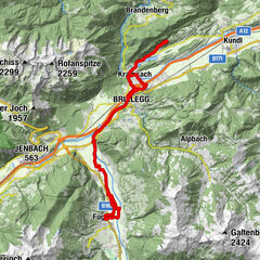
Day 2 - difficult: Alpbachtal Seenland Mountain Bike Loop - from Alpbach via the Holzalm to Thierbach – Mühltal – Oberau in the Wildschönau Valley and via the Kragenjoch to Kundl - Breitenbach – Kramsach
Day 2 – moderate: Alpbachtal Seenland Mountain Bike Loop – from Alpbach via the Holzalm to Thierbach (chapel) in the Wildschönau Valley – Kundl – Breitenbach – Kramsach
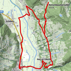
Day 3 – moderate: Alpbachtal Seenland Mountain Bike Loop – from Kramsach – Aschau – Pinegg – Steinberg am Rofan – Achensee – Maurach – Eben – Wiesing – Münster Kramsach – Brixlegg (starting point)
Day 3 – easy: Alpbachtal Seenland Mountain Bike Loop – from Kramsach – Aschau - Pinegg – to the Kaiserhaus and back via Pinegg and Brandenberg to the starting point
- Highest point
- 1,243 m
- Endpoint
-
Alpbach
- Height profile
-

- Equipment
-
Helmet, sun glasses, bike shorts, pullover, rain proof jacket, hat, 30-40 ltr backpack, drinking bottle, map, first aid kit, mobile phone, camera, bike lock, replacement inner tube, mini tool kit, bike pump, puncture repair kit, sealing (repair) tape, sun cream, energy food (muesli bar), snack, ...
- Safety instructions
-
Closed in winter! All MTB and bike routes are closed for safety reasons from 1st November until 1st April of the following year.
These routes are not cleared and many MTB routes are exposed to avalanches. Depending on snow conditions, some routes may need to remain closed beyond 1st April. For more information and details please contact your local tourist office.
- Additional information
- Directions
-
A12, motorway exit Kramsach/Brixlegg
- Public transportation
- Parking
-
Brixlegg bikestop / accommodation in Kramsach

- Author
-
The tour Day 1 - Alpbachtal Seenland Mountain Bike Loop - moderate is used by outdooractive.com provided.


General info
-
Alpbachtal
301
-
Alpbach
129