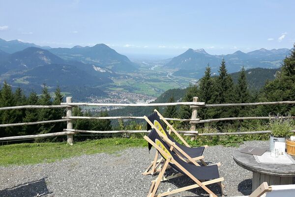

- Brief description
-
A perfect and thrilling loop tour, in both directions.
- Difficulty
-
medium
- Rating
-
- Starting point
-
Alpbach tourist office
- Route
-
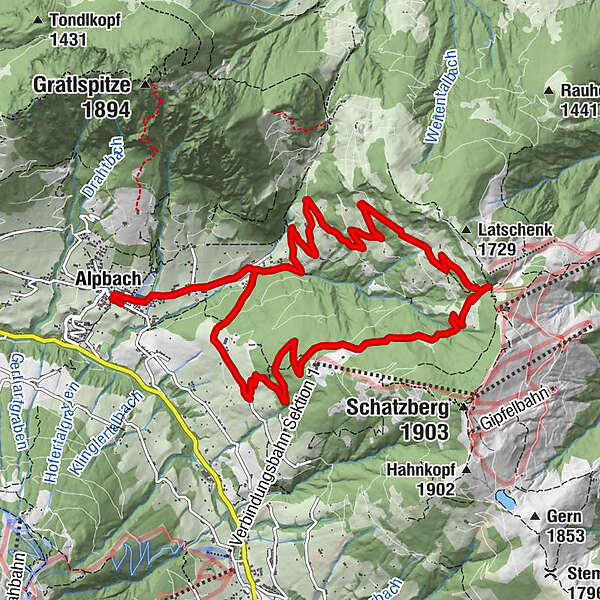
Pfarrkirche Alpbach0.1 kmAlpbach (975 m)0.1 kmHeiligenkasten0.1 kmJausenstüberl Oberthaler2.9 kmRossmooskapelle10.9 kmAlpengasthof Roßmoos10.9 kmAlpbach (975 m)13.0 kmHeiligenkasten13.1 kmPfarrkirche Alpbach13.2 km
- Best season
-
JanFebMarAprMayJunJulAugSepOctNovDec
- Description
-
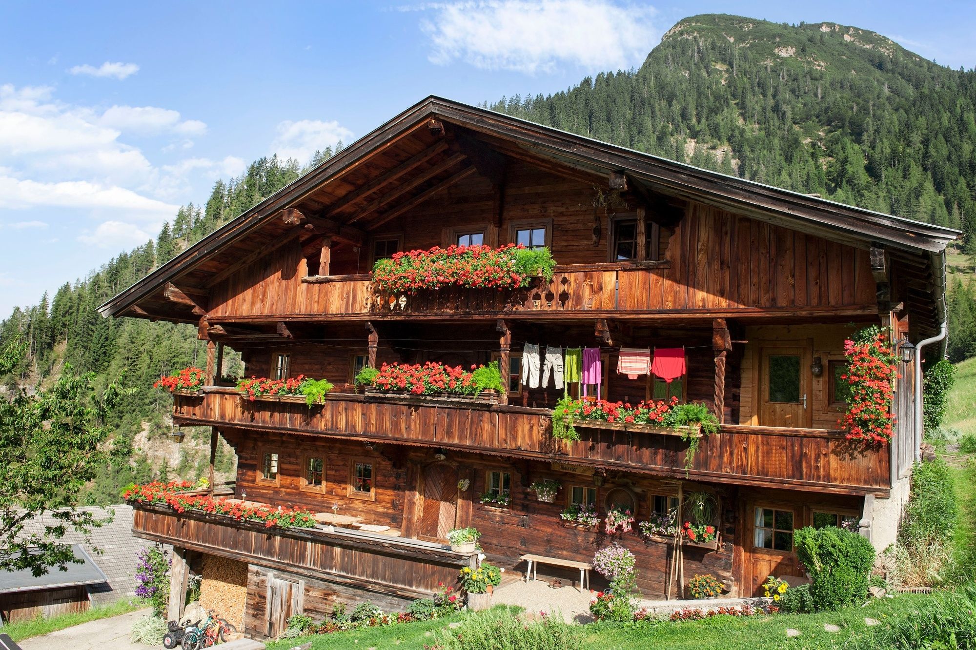
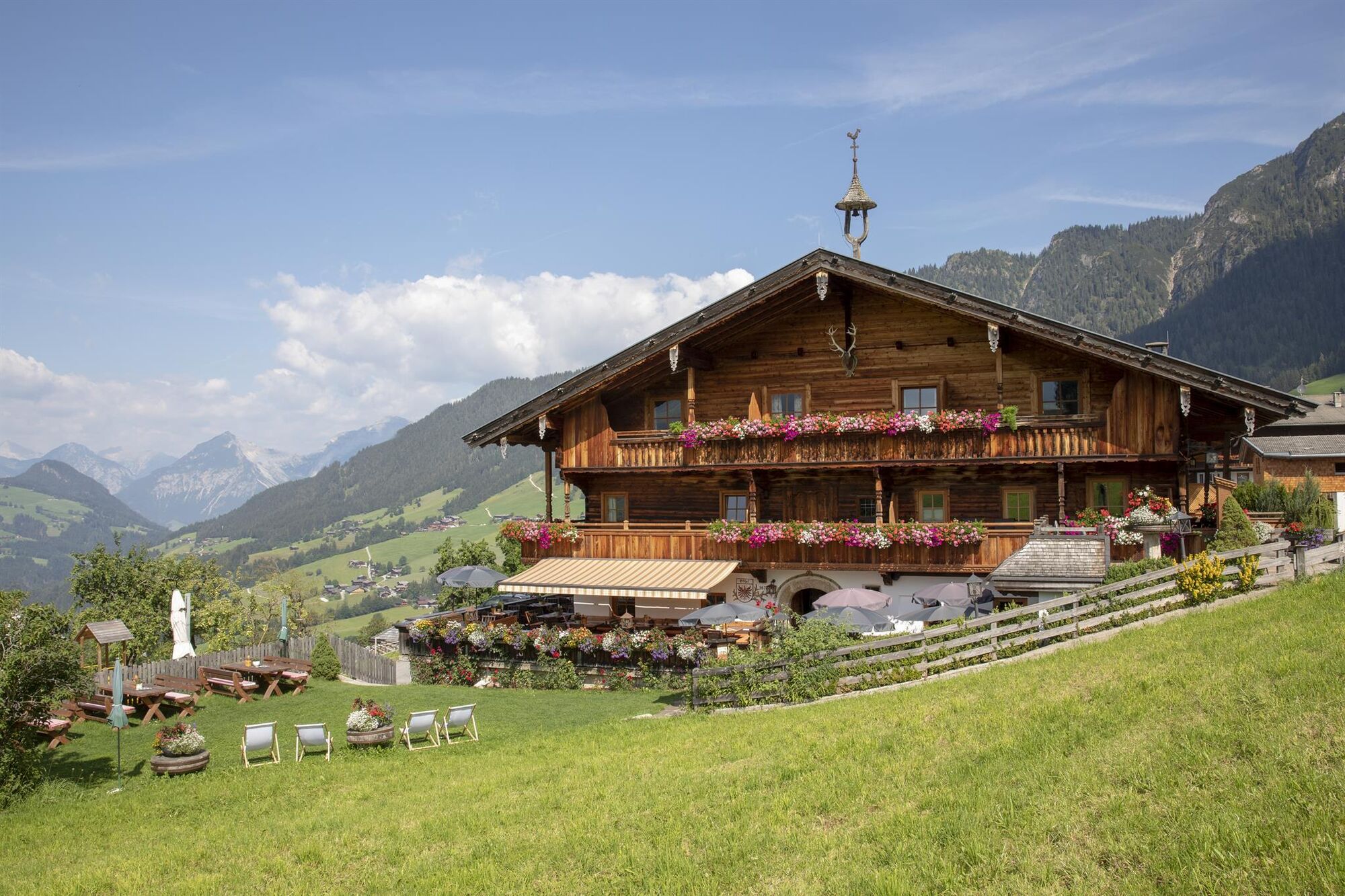
From the Alpbach tourist office follow the signs for the Congress centre. Cycle for 1km until you reach the bridge over the Dorfer stream. Turn left before the bridge and follow the road towards the Zottahof and Jausenstüberl Oberthaler. Keep to the right and follow the unpaved forest track winding uphill in long drawn bends up to shortly before the Thaleralm. Continue along the track and via the Krinnjoch (1.670 m) to the MTB-route 351 Schatzberg loop or return to Alpbach via the Sieglbichlalm. The route continues along hair-pin bends downhill to the tarmacked road. At the crossing turn right and cycling past the Alpengasthof Rossmoos (place where you can something to eat and drink) continue downhill crossing the Dorfer stream bridge back to the starting point.
- Highest point
- 1,661 m
- Endpoint
-
Alpbach tourist office
- Height profile
-

- Equipment
-
Helmet, sun glasses, bike shorts, rain proof jacket, hat, drinking bottle, map, first aid kit, mobile phone, camera, bike lock, replacement inner tube, mini tool kit, bike pump, puncture repair kit, sealing (repair) tape, sun cream, energy food (muesli bar), snack, ...
- Safety instructions
-
Winter Closing
All MTB and bike routes are closed for safety reasons from 1st November until 1st April of the following year.
These routes are not cleared and many MTB routes are exposed to avalanches.Depending on snow conditions, some routes may need to remainclosed beyond 1st April. For more information and details see your local tourist office.
- Tips
-
This tour offers plenty of thrills in both directions.
- Additional information
- Arrival
- Public transportation
- Parking
-
No parking at the tourist office Alpbach. Parking possibility at the Neue Mittelschule (secondary school) car park or at the Feuerwehrhaus (fire brigade building) parking lot (walking time 5 - 10 min or by bike about 3 - 5 min to the tourist office)

-

-
AuthorThe tour MTB-Route 308 Thaleralm – Sieglbichlalm Loop (Alpbach) is used by outdooractive.com provided.


General info
-
Alpbachtal
293
-
Alpbach
121