
- Brief description
-
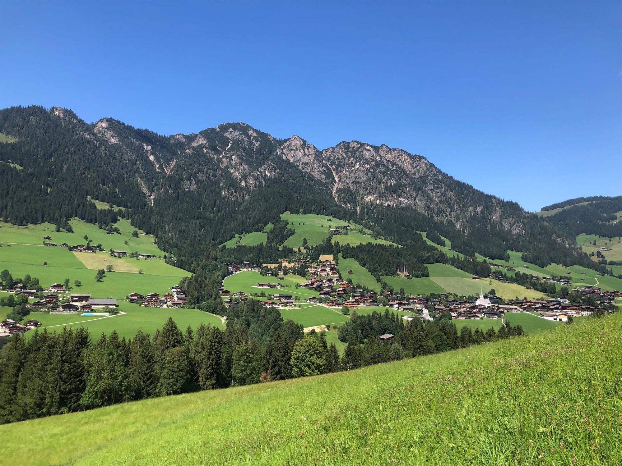
Easy round trip with little elevation gain through beautiful scenery.
- Difficulty
-
easy
- Rating
-
- Starting point
-
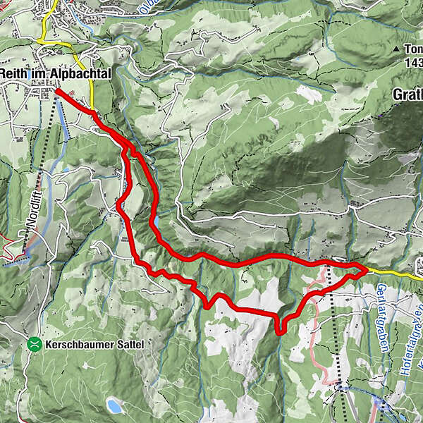
Reitherkogelbahn, Reith car park )starting point)
- Route
-
Reith im Alpbachtal (638 m)0.0 kmReither Anger (659 m)0.3 kmHygna (817 m)1.8 kmKapelle Maria vom Guten Rat1.9 kmEggen Kapelle3.5 kmReither Anger (659 m)11.7 kmReith im Alpbachtal (638 m)11.9 km
- Best season
-
JanFebMarAprMayJunJulAugSepOctNovDec
- Description
-
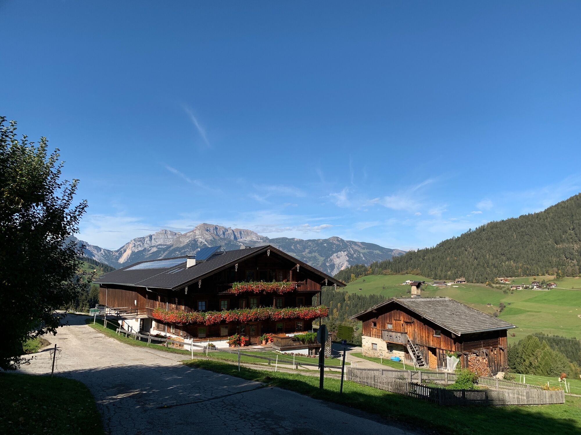
From the Reitherkogelbahn car park turn right and cycle towards Alpbach. Turn right onto the main road and right again uphill towards Hygna. Turn left at the Hygna-chapel and passing the Gasteighof cycle towards Kolber and to the Kolberhof. At the Kolberhof turn left and follow the road downhill to the main road (L5); turn left and follow the road back to Reith/car park.
- Directions
-
From the Reitherkogelbahn car park turn right and cycle towards Alpbach. Turn right onto the main road and right again uphill towards Hygna. Turn left at the Hygna-chapel and passing the Gasteighof cycle towards Kolber and to the Kolberhof. At the Kolberhof turn left and follow the road downhill to the main road (L5); turn left and follow the road back to Reith/car park.
- Highest point
- 976 m
- Endpoint
-
Reitherkogelbahn, Reith car park
- Height profile
-

- Equipment
-
Helmet, sun glasses, bike shorts, rain proof jacket, hat, drinking bottle, map, first aid kit, mobile phone, camera, bike lock, replacement inner tube, mini tool kit, bike pump, puncture repair kit, sealing (repair) tape, sun cream, energy food (muesli bar), snack, ...
- Safety instructions
-
Winter Closing
All MTB and bike routes are closed for safety reasons from 1st November until 1st April of the following year.
These routes are not cleared and many MTB routes are exposed to avalanches.Depending on snow conditions, some routes may need to remainclosed beyond 1st April. For more information and details see your local tourist office.
- Tips
-
The tour is suitable for families.
- Additional information
- Directions
- Public transportation
- Parking
-
Reitherkogelbahn car park, the tours starting point
-

-
AuthorThe tour MTB-Route 316 Kolber Loop (Reith i. Alpbachtal) is used by outdooractive.com provided.


General info
-
Alpbachtal
301
-
Reith im Alpbachtal
124