
- Brief description
-
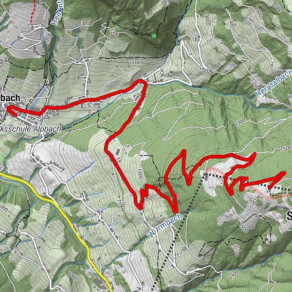
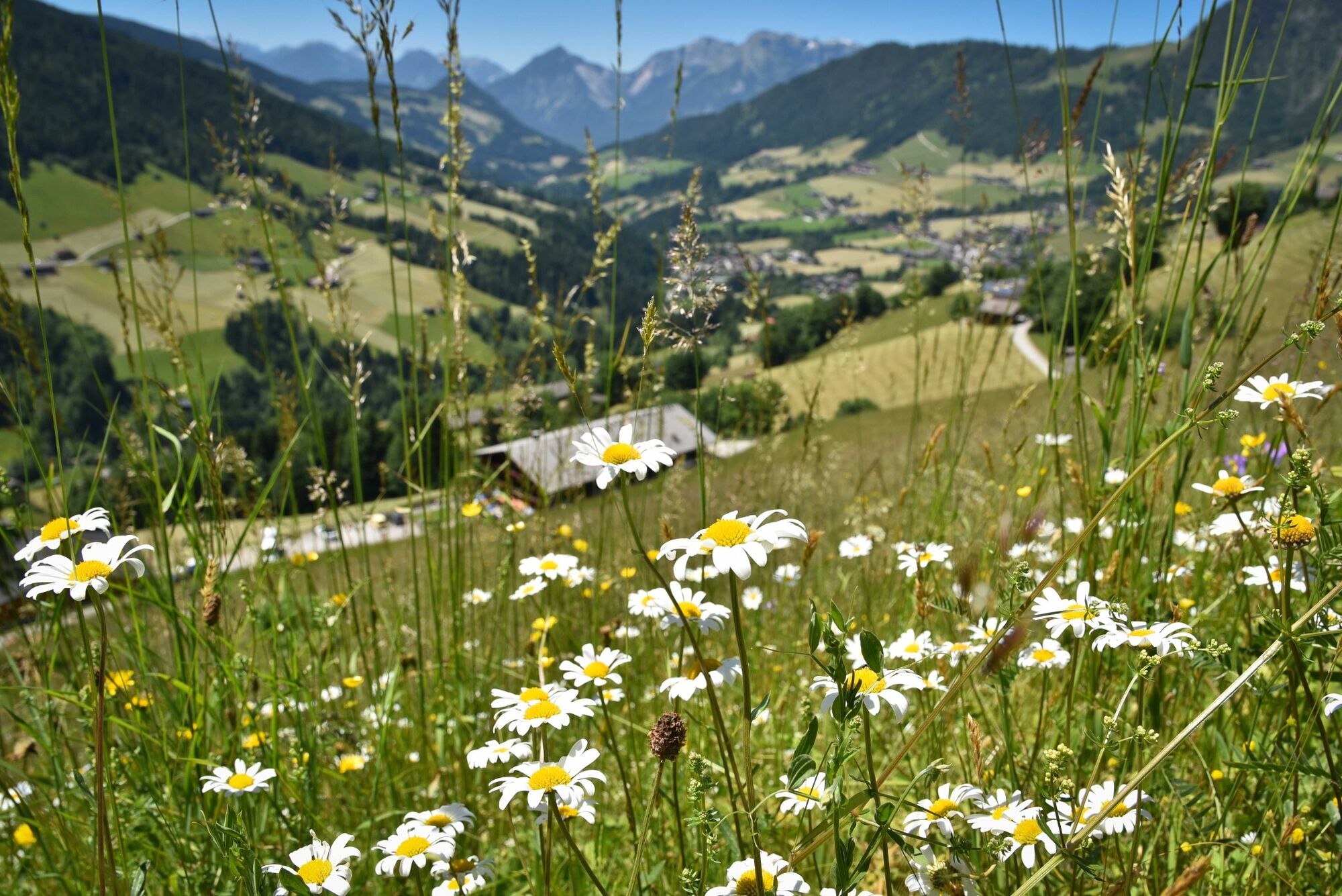
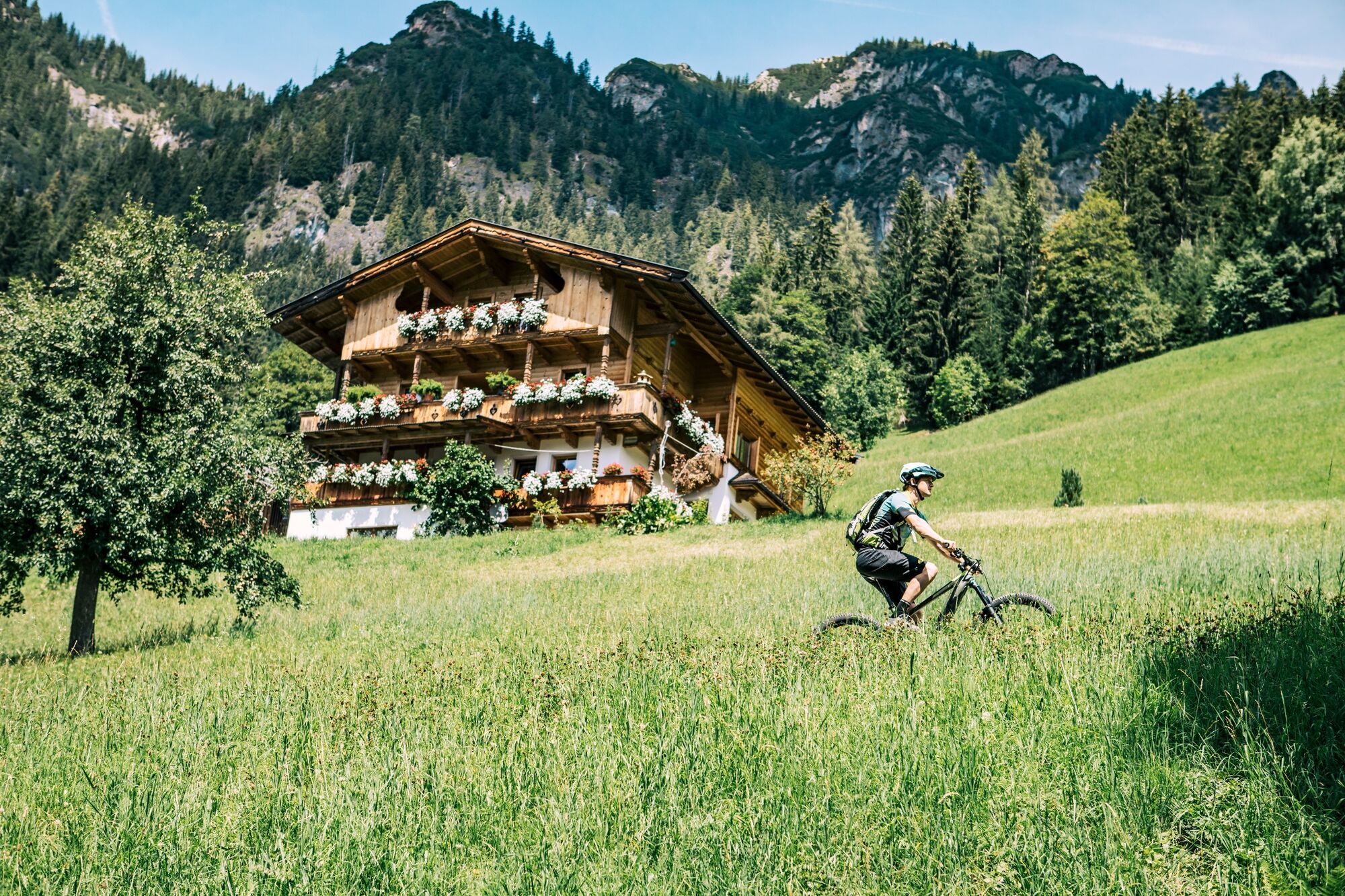
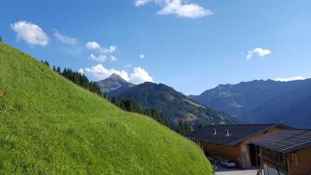
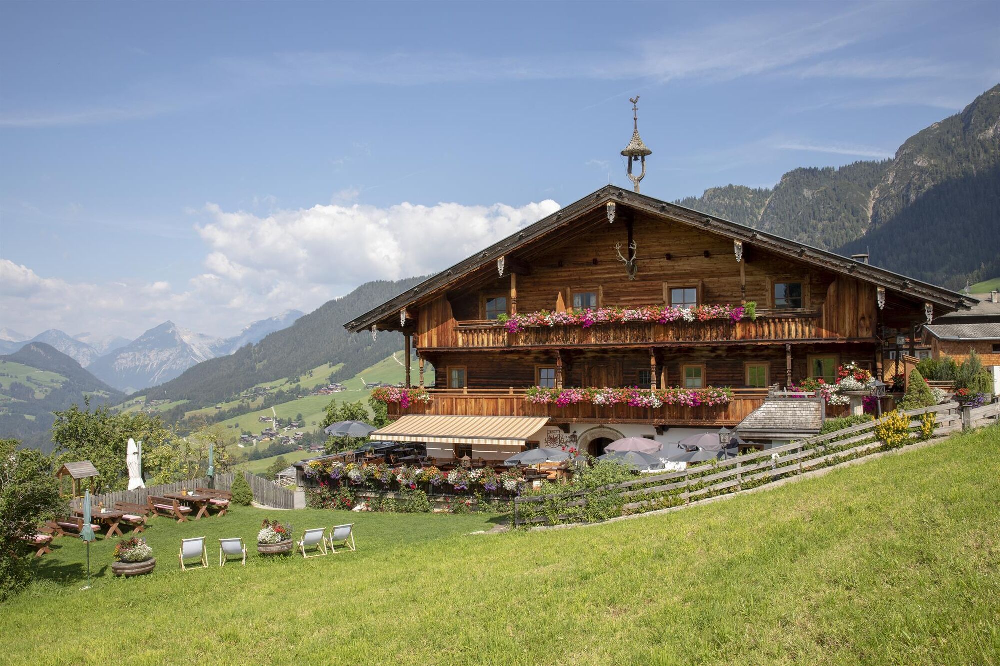
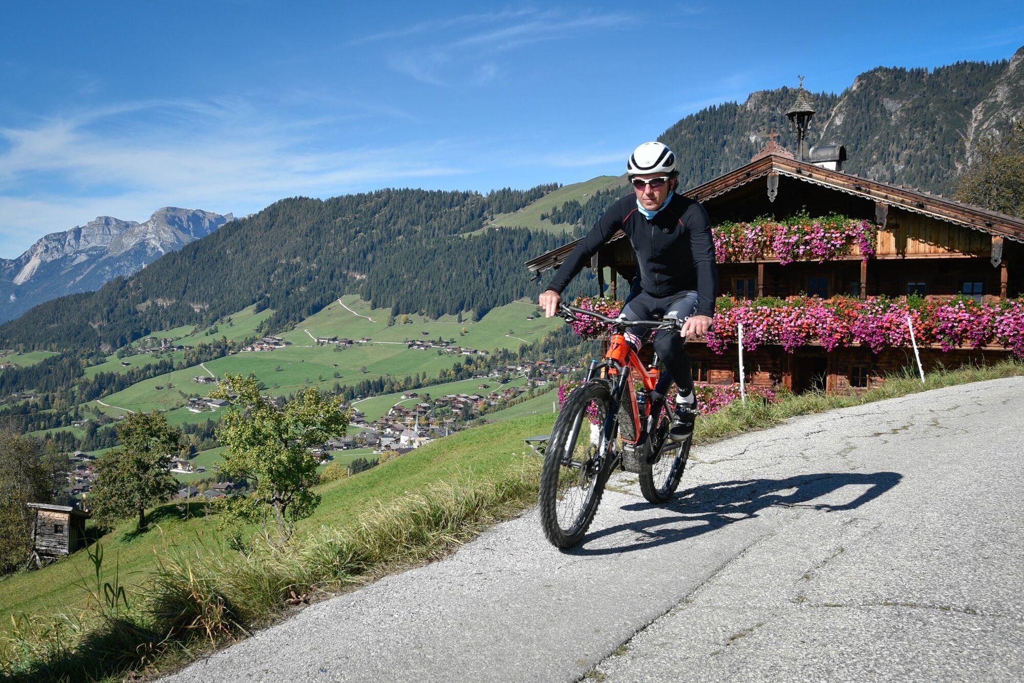
Perfect tour through beautiful Alpine scenery to the Wurmeggalm.
- Difficulty
-
medium
- Rating
-
- Starting point
-
Alpbach tourist office
- Route
-
Pfarrkirche Alpbach0.1 kmAlpbach (975 m)0.1 kmHeiligenkasten0.1 kmRossmooskapelle2.2 kmAlpengasthof Roßmoos2.3 km
- Best season
-
JanFebMarAprMayJunJulAugSepOctNovDec
- Description
-
From the Alpbach tourist office follow the signs for the Congress centre. Cycle for 1km until you reach the bridge over the Dorfer stream and cross the bridge. Cycle along the Oberer Höhenweg past the Alpengasthof Rossmoos. Turn left onto the MTB-route 308 and along steep uphill bends to the Pechalm crossing. Bear right and take the MTB-route 309 to the Wurmeggalm.
- Highest point
- 1,632 m
- Endpoint
-
Alpbach tourist office
- Height profile
-

- Equipment
-
Helmet, sun glasses, bike shorts, rain proof jacket, hat, drinking bottle, map, first aid kit, mobile phone, camera, bike lock, replacement inner tube, mini tool kit, bike pump, puncture repair kit, sealing (repair) tape, sun cream, energy food (muesli bar), snack, ...
- Safety instructions
-
Winter Closing
All MTB and bike routes are closed for safety reasons from 1st November until 1st April of the following year.
These routes are not cleared and many MTB routes are exposed to avalanches.Depending on snow conditions, some routes may need to remainclosed beyond 1st April. For more information and details see your local tourist office.
- Tips
-
Alternative route for the MTB 308 tour.
- Additional information
- Directions
- Public transportation
- Parking
-
No parking at the tourist office Alpbach. Parking possibility at the Neue Mittelschule (secondary school) car park or at the Feuerwehrhaus (fire brigade building) parking lot (walking time 5 - 10 min or by bike about 3 - 5 min to the tourist office)
-

-
AuthorThe tour MTB-Route 309 Pechalm – Wurmeggalm is used by outdooractive.com provided.


General info
-
Alpbachtal
293
-
Alpbach
121