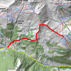
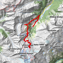
Tour data
27.8km
562
- 1,825m
1,262hm
1,262hm
03:30h
- Rating
-
- Starting point
-
Bahnhof Zell am Ziller
- Route
-
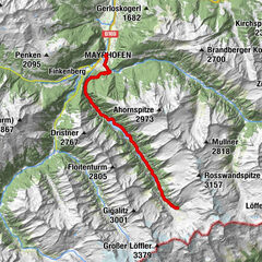
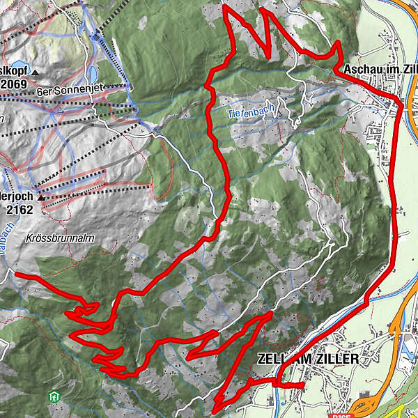
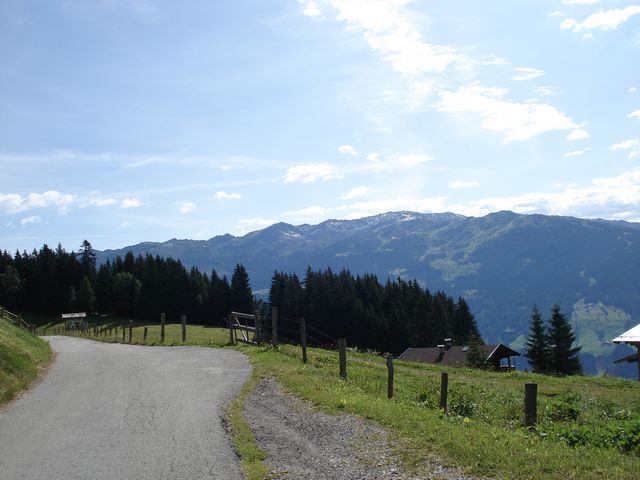
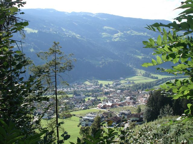
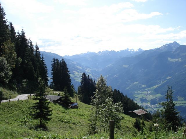
Zell am Ziller (575 m)ZellbergebenZellberg0.8 kmReisch1.1 kmHerz-Jesu Kapelle2.8 kmBurbach4.7 kmZellberg Stüberl (1,840 m)11.4 kmHirschbichlalm (1,840 m)11.5 kmGrünalm11.5 kmKruma22.9 kmAschau im Zillertal (567 m)23.0 kmZellbergeben26.8 kmZell am Ziller (575 m)26.8 kmZell am Ziller (560 m)27.6 km
- Highest point
- 1,825 m
GPS Downloads


Surfaces
Asphalt
Gravel
Forest
Mountain paths
Single trails
Trial
Traffic
Other tours in the regions
-
Zillertal
255
-
Zell am Ziller
37

 - Penkenjoch (2095 m)")