Tour data
6.28km
631
- 1,101m
474hm
02:30h
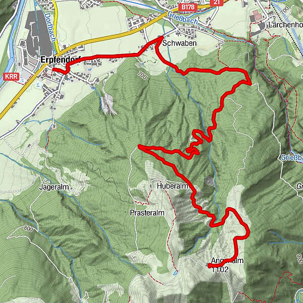
- Brief description
-
Etwas anspruchsvoll - aber schön unter schattigem Laub hinaufbiken
- Difficulty
-
medium
- Rating
-
- Starting point
-
Erpfendorf Zentrum
- Route
-
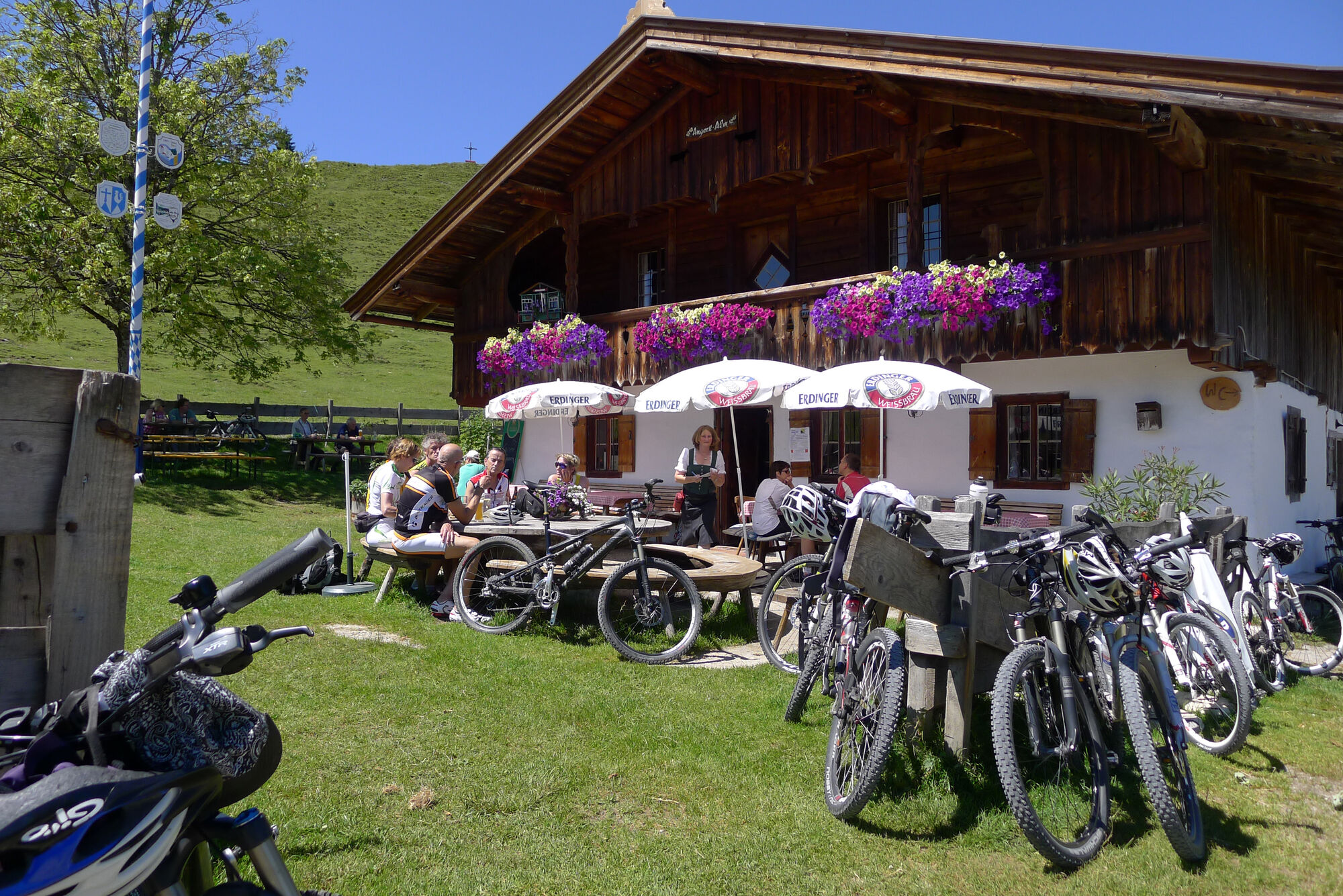
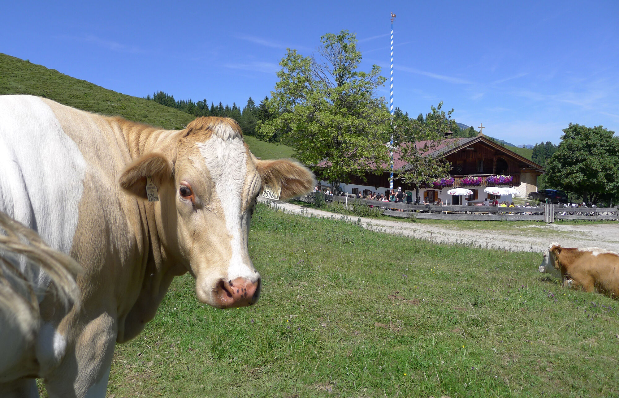
Erpfendorf0.0 kmFilialkirche Erpfendorf0.1 kmHubertuskapelle2.0 kmAngerlalm6.2 km
- Best season
-
JanFebMarAprMayJunJulAugSepOctNovDec
- Highest point
- 1,101 m
- Rest/Retreat
-
Angerlalm, bzw. bei Variante Huberalm
- Ticket material
-
In allen Infobüros der Kitzbüheler Alpen St. Johann in Tirol - Oberndorf - Kirchdorf
- Info phone
-
Tourismusverband Kitzbüheler Alpen St. Johann in Tirol +43 (0)5352 63335-0
- Link
- https://www.kitzbueheler-alpen.com/de/st-johann
- Source
- Tourismusverband Kitzbüheler Alpen St. Johann in Tirol
GPS Downloads


Surfaces
Asphalt
Gravel
Forest
Mountain paths
Single trails
Trial
Traffic
Other tours in the regions