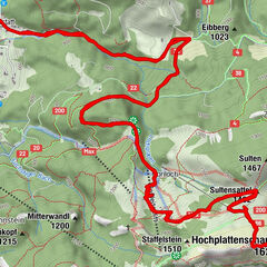


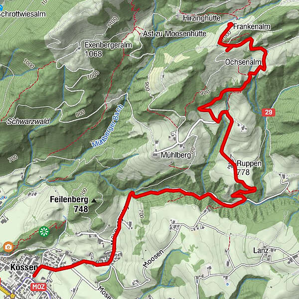
Tour data
5.83km
600
- 994m
400hm
400hm
01:10h
- Brief description
-
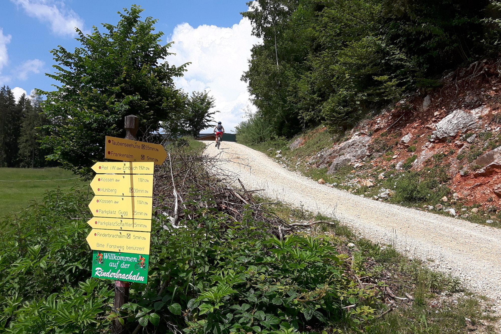
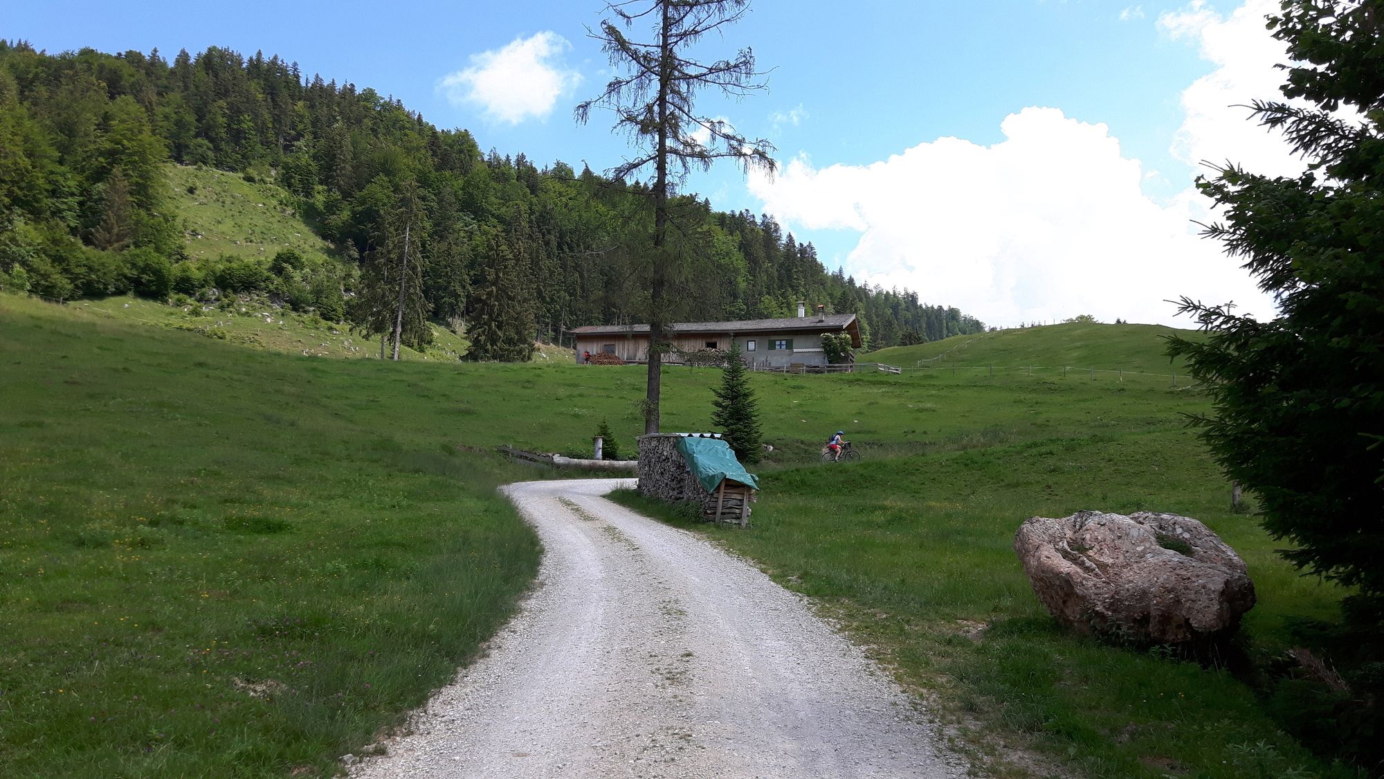
Tour mit Bike-und-Hike-Möglichkeit zum Taubensee
- Difficulty
-
medium
- Rating
-
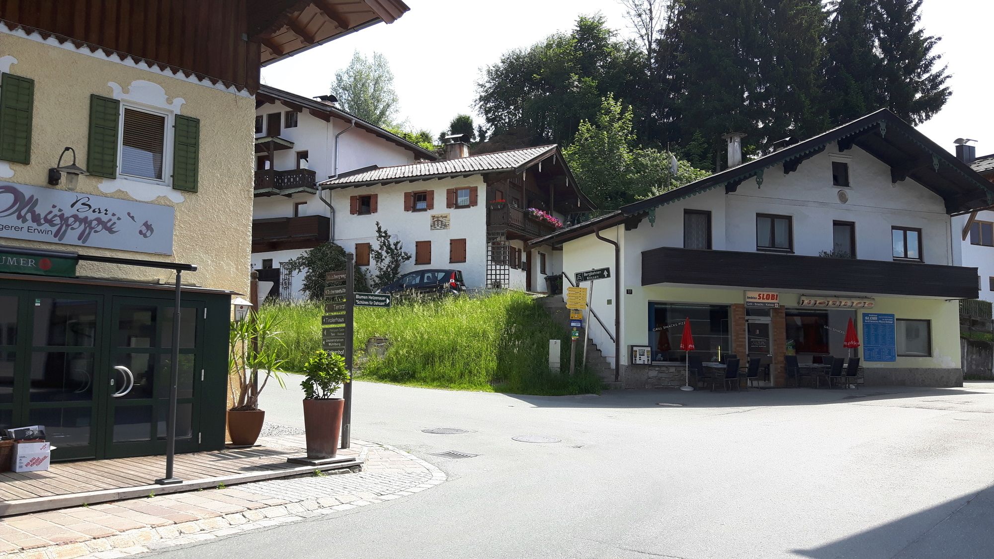
- Starting point
-
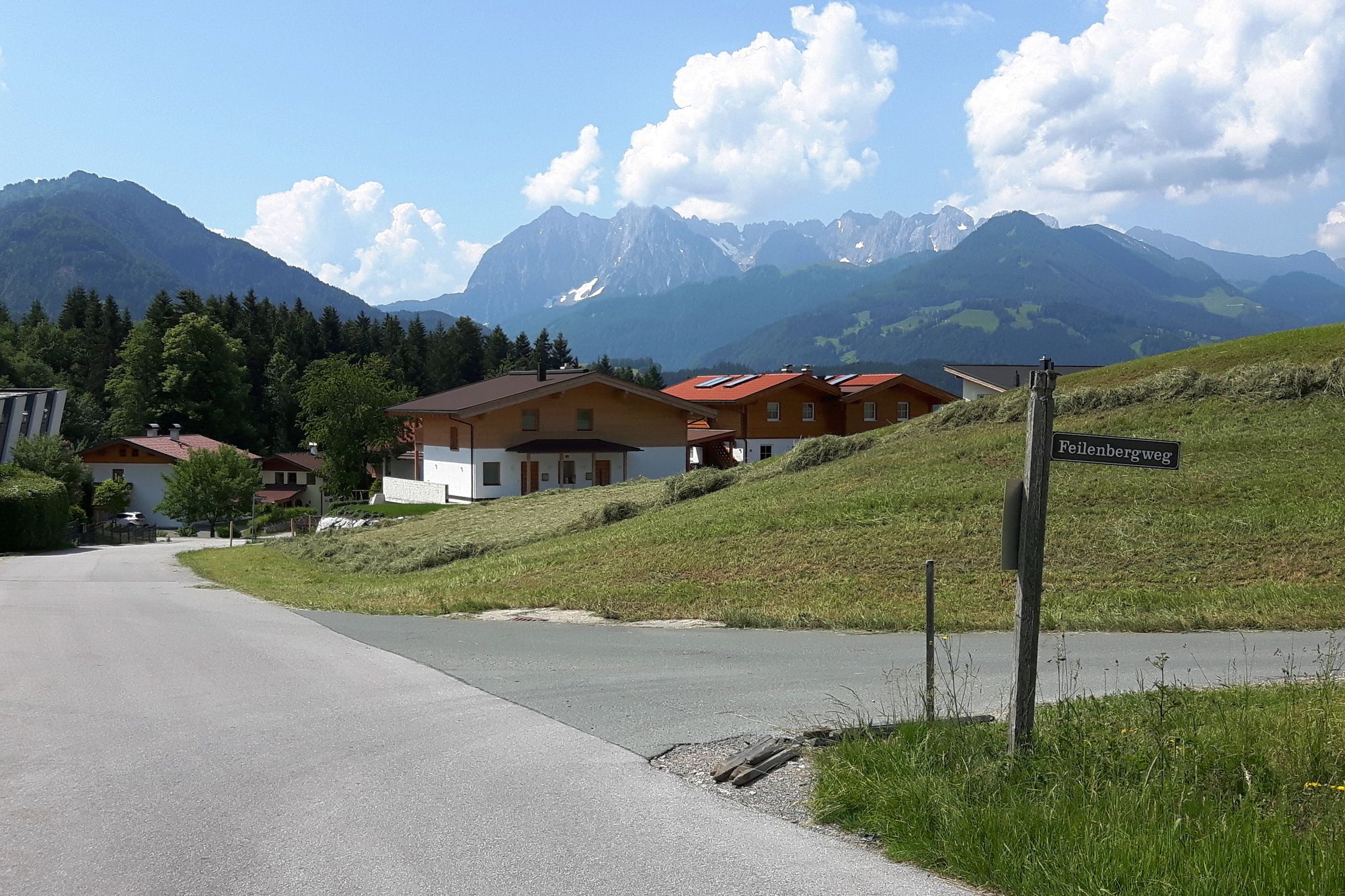
Kössen am Kreisverkehr bei Ortszentrum
- Route
-
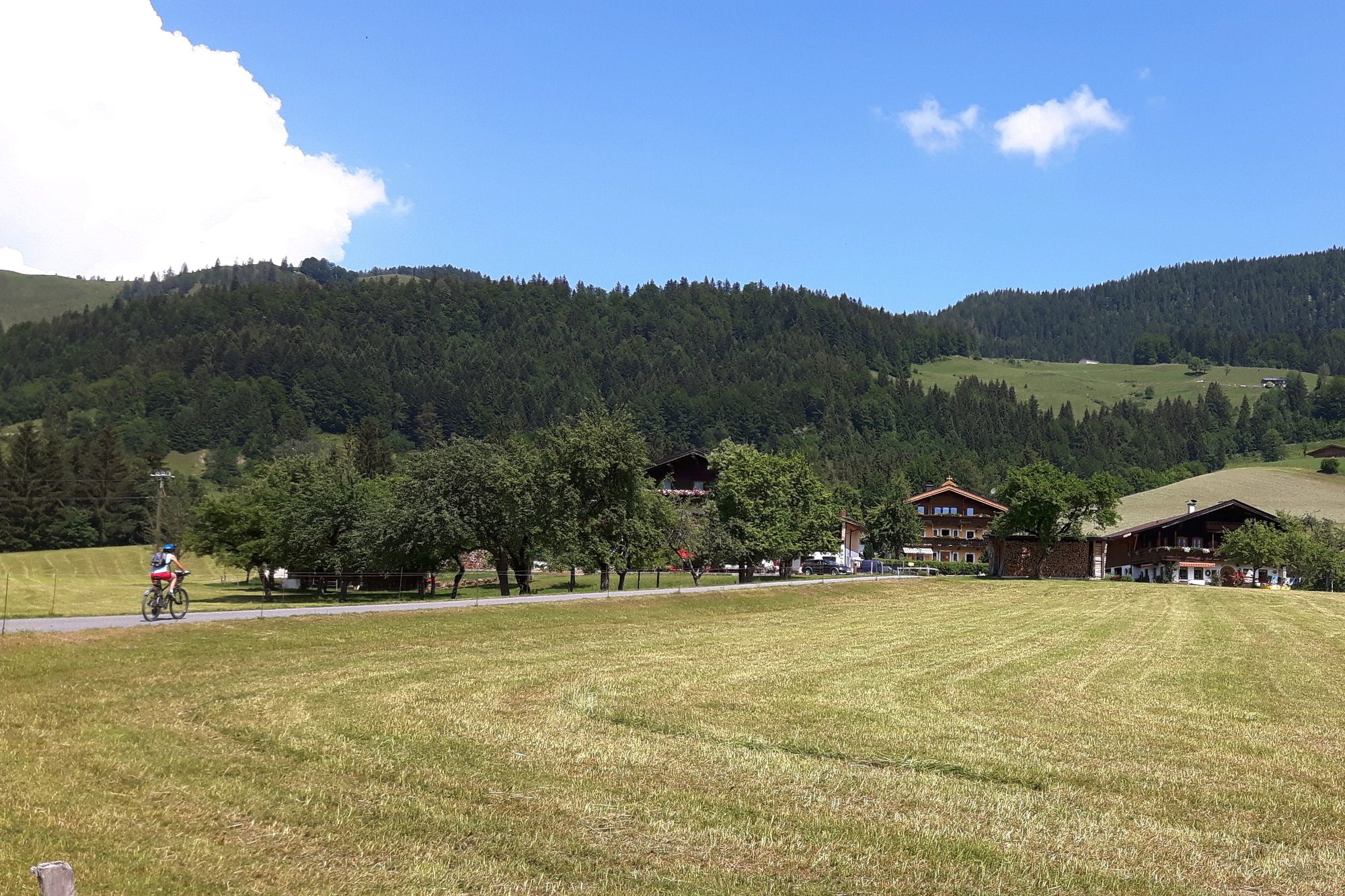
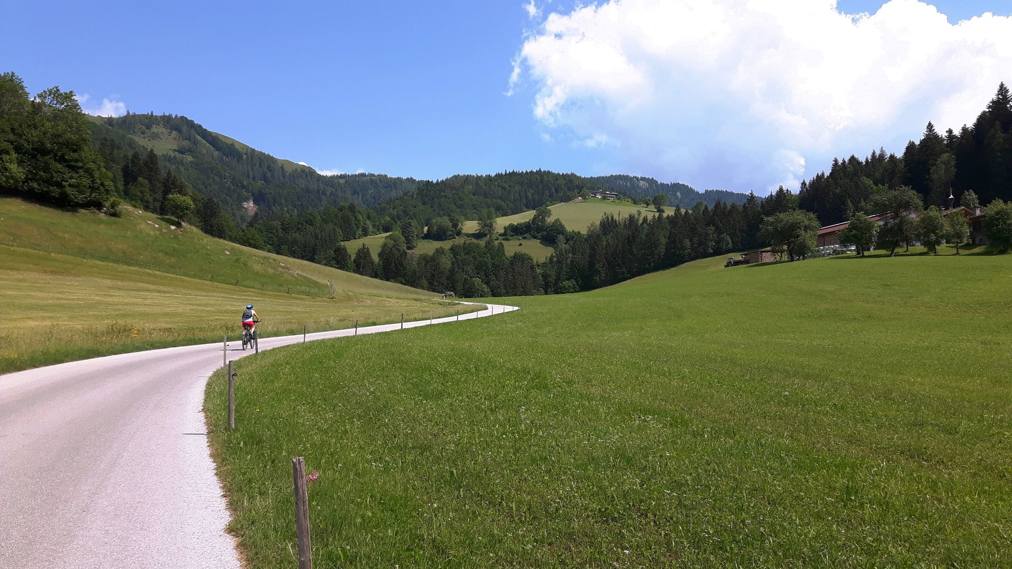
KössenRuppen (778 m)3.1 kmFrankenalm5.7 km
- Highest point
- 994 m
- Endpoint
-
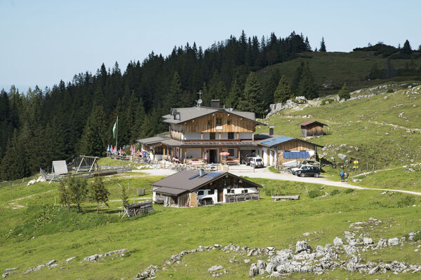
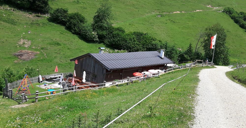
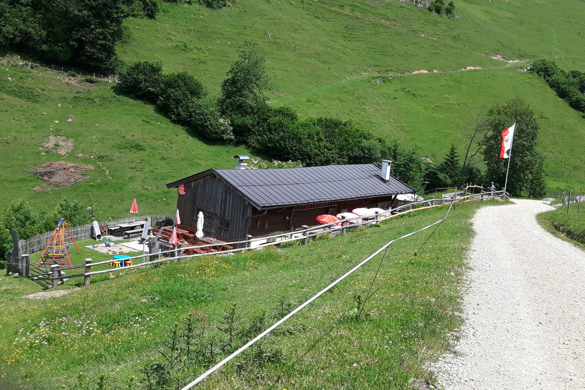
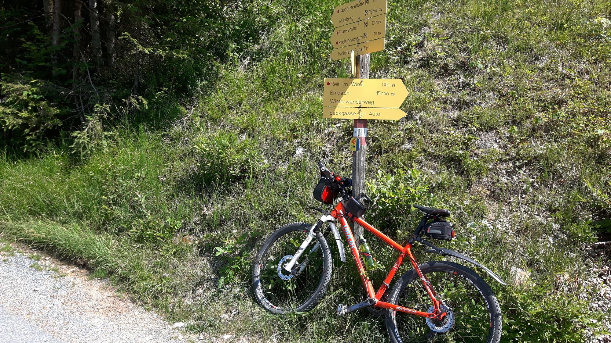
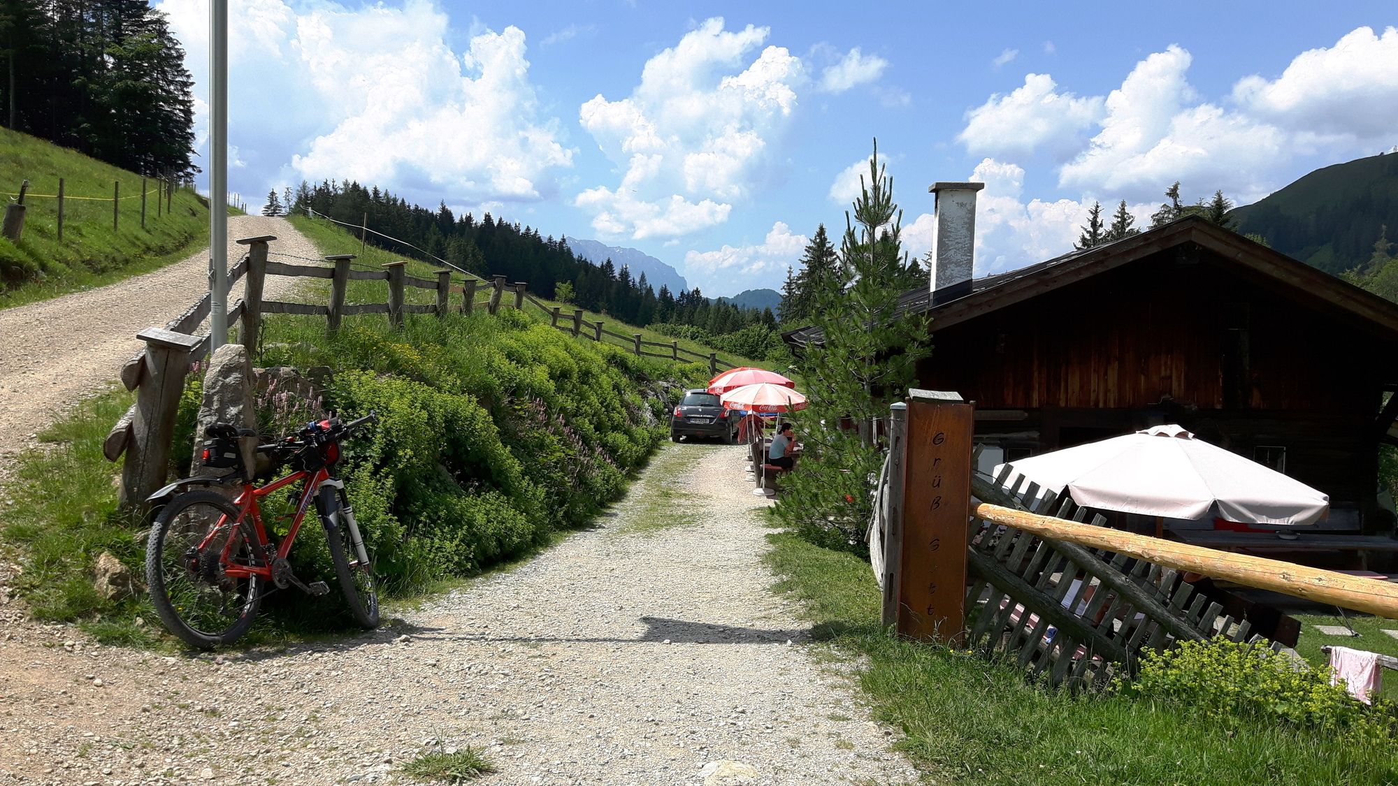
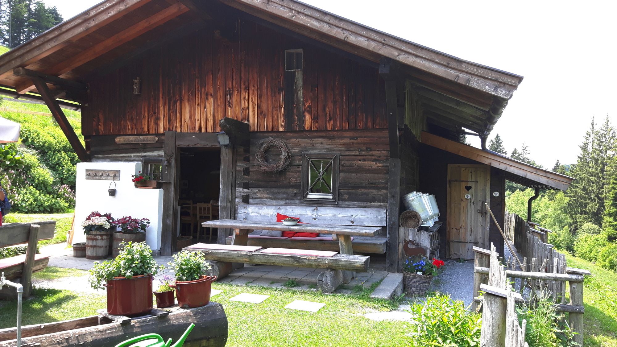
Frankenalm
- Rest/Retreat
-
Frankenalm
- Source
- Peter Unger