- Brief description
-
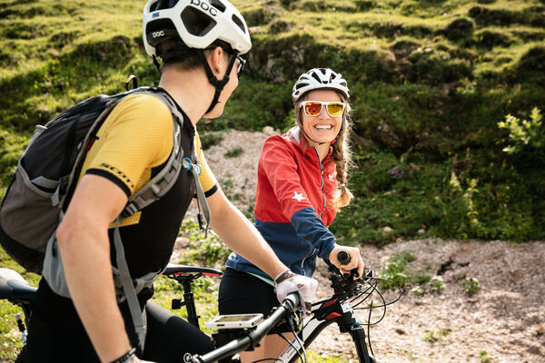
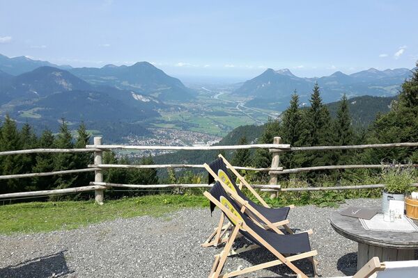
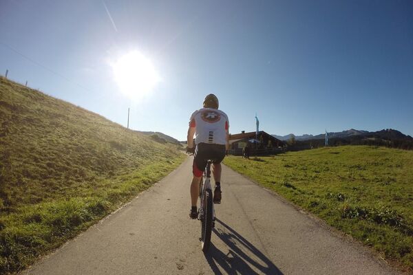
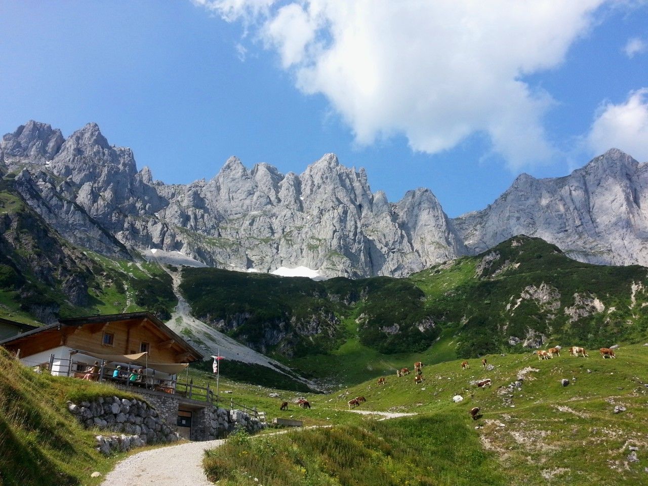
Bike tour to the idyllically situated Obere Regalm with a magnificent view.
- Difficulty
-
medium
- Rating
-
- Starting point
-
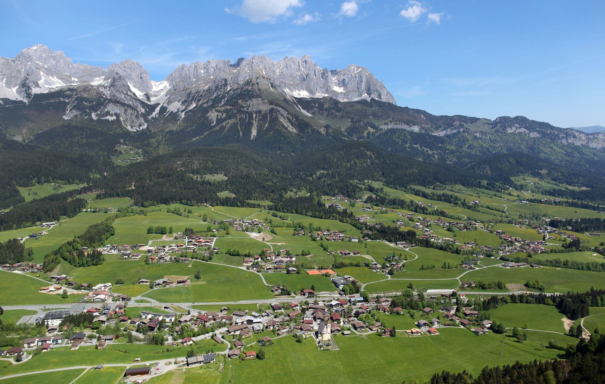
Tourist Info, Going (764 m)
- Route
-
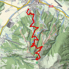
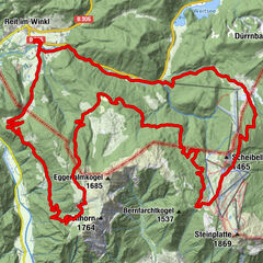
Going0.1 kmDorfwirt0.3 kmPrama1.1 kmTannbichlkapelle2.9 kmObere Regalm7.2 km
- Best season
-
JanFebMarAprMayJunJulAugSepOctNovDec
- Description
-
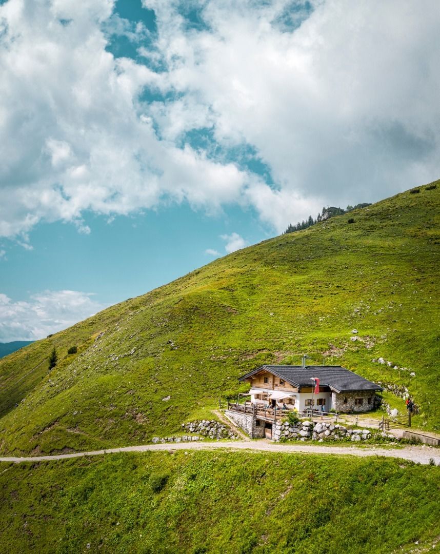
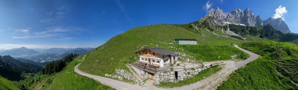
From Tourist Info Going follow the Dorfstrasse to the Raiffeisen Bank where you turn left. After the underpass, cycle along the asphalt Pramaweg until you turn left after an S-curve with a bridge. Go past Tannbichl car park and follow the forest road, past the Tannbichlkapelle chapel, to reach Obere Regalm mountain hut.
The Regalm is open in summer until middle of September on Fridays, Saturdays, Sundays from 9 a.m. until 5 p.m. (only in good weathers) and from middle September until beginning of October on Saturdays and Sundays, 9 a.m. until 5 p.m.
Enjoy the view and delicious food. Return via the same route. - Directions
-
From Going Tourist Information Office follow the Dorfstrasse to the Raiffeisen Bank where you turn left. After the underpass you bike along the asphalted Pramaweg till you turn left at the Grottenthaler electrical shop following the signs to the Wilder Kaiser and Tannbichlkapelle. You come to Tannbichl car park from where you take a gravel road past the Tannbichlkapelle chapel - a real mountaineers’ chapel - to the Obere Regalm mountain hut which is open in summer on Wednesdays, Saturdays and Sundays. Enjoy the views of the surrounding mountains. After refreshments, all those who want to go higher can follow the footpath to the Ackerlhütte mountain hut and, after about 20 minutes, be rewarded with incomparable views. You return to the starting point by the same route.
- Highest point
- 1,306 m
- Endpoint
-
Tourist Info, Going (764 m)
- Height profile
-

- Equipment
-
Cycle helmet, comfortable cycling clothes, a change of clothes, wind protection, cycling gloves, poss. rucksack with water bottle and food, first aid kit, poss. servicing/repair kit, bike map, route description and information materials (GPX track), ID, insurance card, cash
- Directions
-
Heading from Wörgl or Kufstein on the B178 road, take the exit to Going. You will see the Tourist Info and the hiking starting point on the right-hand side after approx. 100 m.
Heading from St. Johann on the B178 road, take the first exit to Going and drive through the town until you see the Tourist Info and the hiking starting point on the left-hand side after crossing the bridge. - Public transportation
- Parking
-
Car park opposite the hiking starting point of the Tourist Info (located to the left of the road and before the bridge) or Public car park "Schedererfeld" – free
- Author
-
The tour MTB Tour Obere Regalm Mountain Hut is used by outdooractive.com provided.


General info
-
Wilder Kaiser
368
-
Going
144