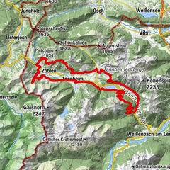
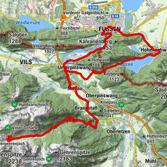
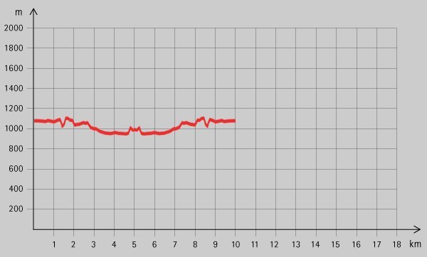
Tour data
8.28km
936
- 1,119m
270hm
01:00h
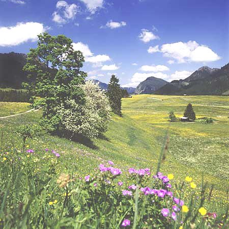
- Brief description
-
Schöne Strecke entlang der Vils.
- Rating
-
- Starting point
-
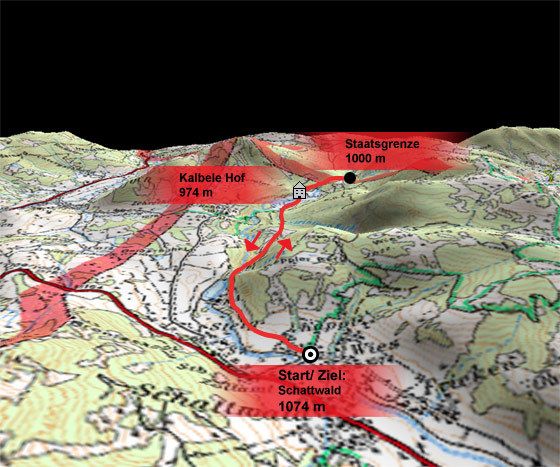
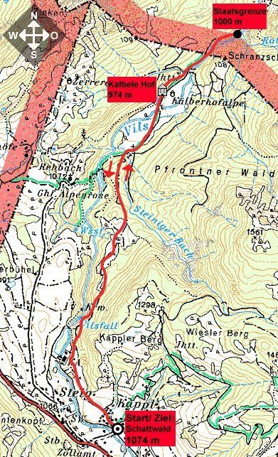
Liftparkplatz in Schattwald (1074 m)
- Route
-
Schattwald (1,072 m)0.1 kmWies0.4 kmSteig1.2 km
- Highest point
- 1,119 m
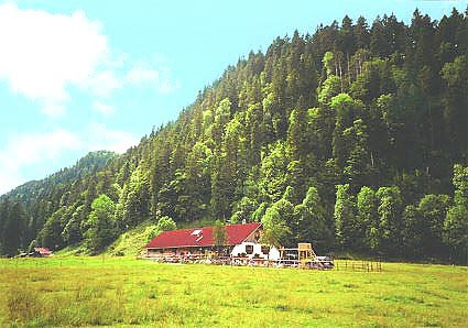
- Rest/Retreat
-
Kalbele Hof
- Ticket material

GPS Downloads


Surfaces
Asphalt
Gravel
Mountain paths
Single trails
Trial
Traffic
Other tours in the regions
-
Allgäu
188
-
Tannheimer Tal
155
-
Schattwald - Zöblen
49