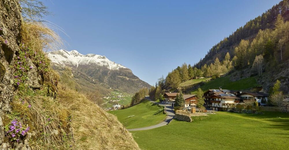

- Brief description
-
This technical very challenging route holds 12 km & 700 m of up- and downhill action.
- Difficulty
-
difficult
- Rating
-
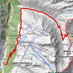
- Route
-
Sölden (1,368 m)0.4 kmPlatte1.9 kmWildmoos2.1 kmSölden (1,368 m)11.8 km
- Best season
-
JanFebMarAprMayJunJulAugSepOctNovDec
- Description
-
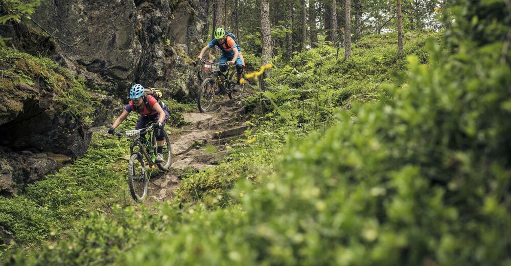
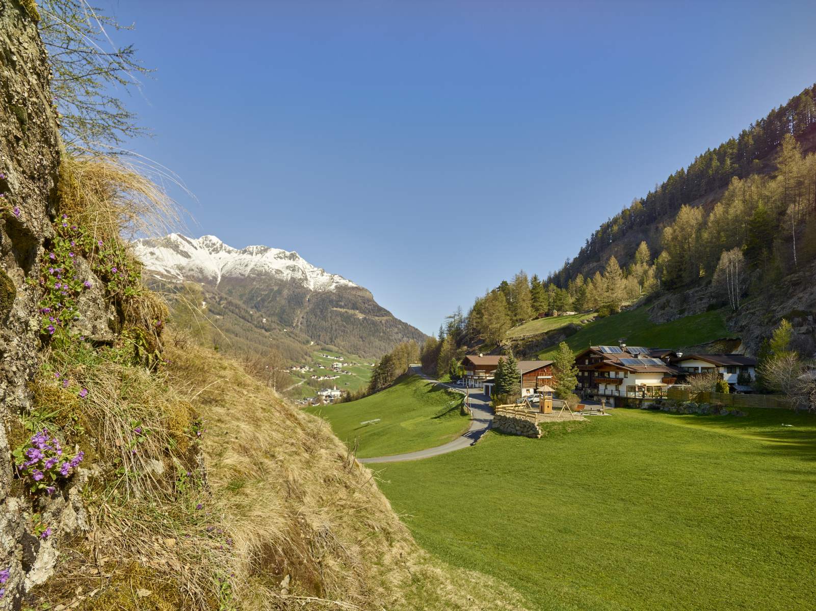
The Enduro Route starts at Freizeit Arena, traveling right across Sölden along the Ötztaler Ache to the Gaislachkogl base station. Continue past the campsite and across the bridge and pedal uphill to Moos. After the hut Moosalm you reach the forest road leading also along Route Brunnenbergalm. Keep left approx. 1 km before you get to the Brunnenbergalmm, leaving Route 652, following the "Enduro C" signs, to the entry of Jägers Notweg Trail. It is one of the most challenging natural trails of the BIKE REPUBLIC SÖLDEN. Steep switchbacks, massive rocks and roots, wet and slippery surface ...
After crossing the Windach Ache, a climb takes you up to a forest trail and further to the Windachtal Trail, which takes you back to the forest road and down to the valley.
Please yield to hikers!
- Highest point
- 1,969 m
- Endpoint
-
Freizeit Arena
- Height profile
-

- Equipment
-
Good equipment rules in the BIKE REPUBLIC! We strongly recommend to wear protective bike gear (knee and elbow protection, helmet, back protector, ...) on all lines, trails, enduro tracks and mountain bike routes in the BIKE REPUBLIC SÖLDEN. The entire REPUBLIC is designed exclusively for good quality, modern standard mountain bikes.
- Safety instructions
-
The Jägers Notweg is a very challenging, gnarly ride. Please note that there might not be a lot of traffic on this side of Sölden – do not ride by yourself.
The BIKE REPUBLIC SÖLDEN is all about coming together and having the best time on your mountain bike – no matter what your skill level is. So always take care of each other, show respect and support – also towards nature and all other people out there in the mountains and the valley.
> Please only ride existing, signposted trails and never trespass open meadows.
-> Avoid skidding, don’t cut switchbacks & leave no trace.
-> Stay alert, never scare animals and always close the pasture gates. In the REPUBLIC there’s always a chance of cattle on the trails and lines. Ride carefully and give them enough room.
-> Please note that the natural trails in the BIKE REPUBLIC are all shared trails. Always yield to hikers and give a friendly greeting.
- Tips
-
Those who can conquer Jägers Notweg Trail without major difficulties are true experts - it is suitable only for very experienced bikers in an excellent physical shape. Adrenalin rush guaranteed!
- Additional information
- Directions
-
WHERE IS SÖLDEN?
Sölden is located in the West of Austria, more exactly in the Province of TIROL. It nestles amidst the ÖTZTAL Valley, a south-facing side valley of the Inntal.
Best travel route from the West:
From Vorarlberg to Tirol via Arlberg Pass or through Arlberg Tunnel (S 16 Federal Road) - direction Landeck - change to A 12 Autobahn (direction Innsbruck) - exit: Ötztal after driving through Roppener Tunnel - on B 186 Federal Road (35 km) to Sölden
From the North:
- Bad Tölz - Achen Pass - B 181 Federal Road - Jenbach - A 12 Autobahn towards Innsbruck (direction Bregenz) - exit: Ötztal - B 186 Federal Road (35 km) to Sölden
- Pfronten - Reutte - Fernpass - Imst - A 12 Autobahn (direction Innsbruck) - exit: Ötztal after driving through Roppener Tunnel or on B 171 Federal Road to Ötztal (no Vignette toll-sticker required!) - B 186 Federal Road (35 km) to Sölden
- Garmisch Partenkirchen - Ehrwald - Lermoos - Fernpass - Imst - A 12 Autobahn (direction Innsbruck) – exit: Ötztal after driving through Roppener Tunnel or on B 171 Federal Road to Ötztal (no Vignette toll-sticker required!) - B 186 Federal Road (35 km) to Sölden
- Garmisch Partenkirchen - Mittenwald - Scharnitz - Seefeld - Telfs - A 12 Autobahn (direction Bregenz) - exit: Ötztal or on B 171 Federal Road to Ötztal (no Vignette toll-sticker required!) - B 186 Federal Road (35 km) to Sölden
From the East:
Munich or Salzburg - A 93 Autobahn to Kufstein - A 12 Autobahn (direction Bregenz) via Innsbruck – exit: Ötztal - B 186 Federal Road (35 km) to Sölden
From the South:
From Bozen/Bolzano towards Brenner Pass (toll road) – on Brenner Autobahn via Schönberg toll station (direction Innsbruck) to Innsbruck - then change to A 12 Autobahn (direction Bregenz) – exit: Ötztal - B 186 Federal Road (35 km) to Sölden
- Public transportation
-
Arriving by Train
Enjoy a comfortable and relaxing train ride to the train station in Ötztal Bahnhof. The public bus lines to all holiday resorts in the valley (direction Obergurgl) leave directly in front of the train station. The bus ride to Sölden takes about 1 – 1.5 hours.
All important details on bus timetables, direct connections and taxi services are available here.
- Parking
-
There are ample parking areas and covered parking garages at the base stations of Gaislachkogl and Giggijoch Mountain Gondolas. Parking is free of charge between 8.00 am and 7.00 pm!
Night-time parking of motor cars is subject to a charge and allowed only in the parking garage next to Gaislachkogl Mountain Gondola:

-

-
AuthorThe tour Enduro Stille Seite - C is used by outdooractive.com provided.