Tour data
44.89km
633
- 1,913m
1,768hm
1,760hm
03:13h
- Brief description
-
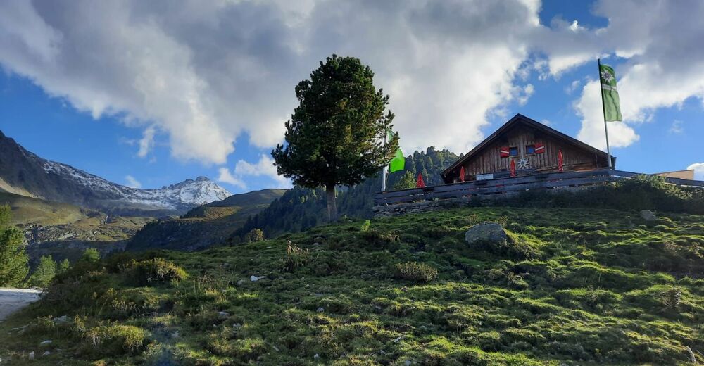
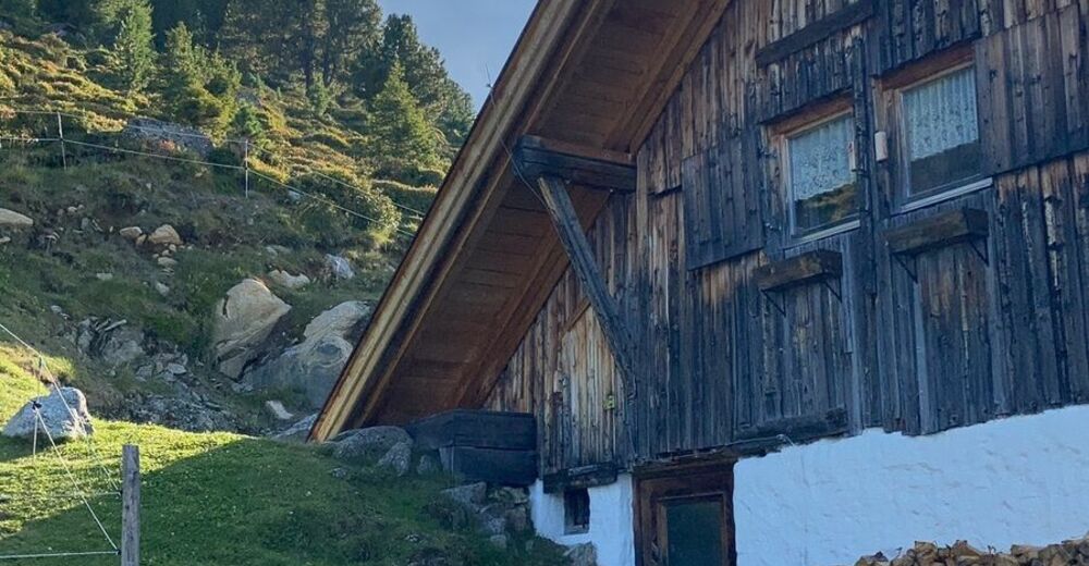
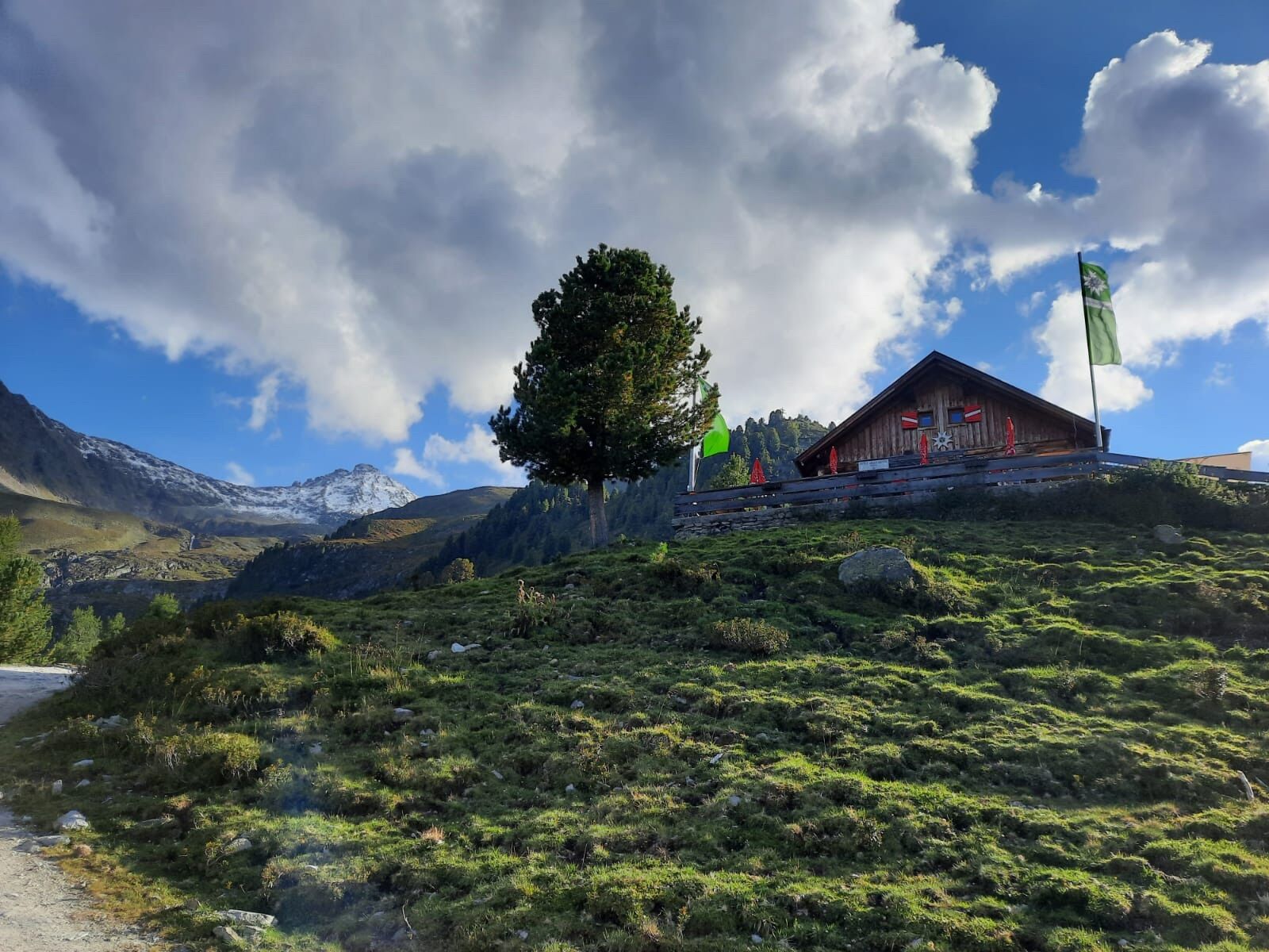
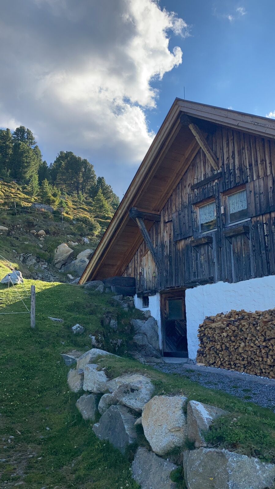
MTB zur Peter Anich Hütte Rietz
- Difficulty
-
difficult
- Rating
-
- Route
-
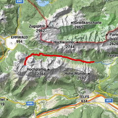
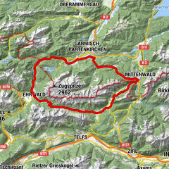
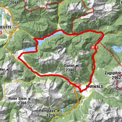
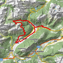
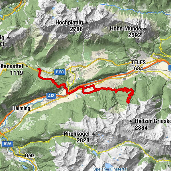
Hotel Bergland0.3 kmThal2.2 kmMötz (654 m)6.5 kmPeter-Anich-Hütte22.1 kmStams (672 m)34.5 kmMötz (654 m)38.3 kmThal42.4 kmHotel Bergland44.5 km
- Best season
-
JanFebMarAprMayJunJulAugSepOctNovDec
- Highest point
- 1,913 m
GPS Downloads


Other tours in the regions
-
Mieminger Plateau & Inntal
397
-
Stams
143