
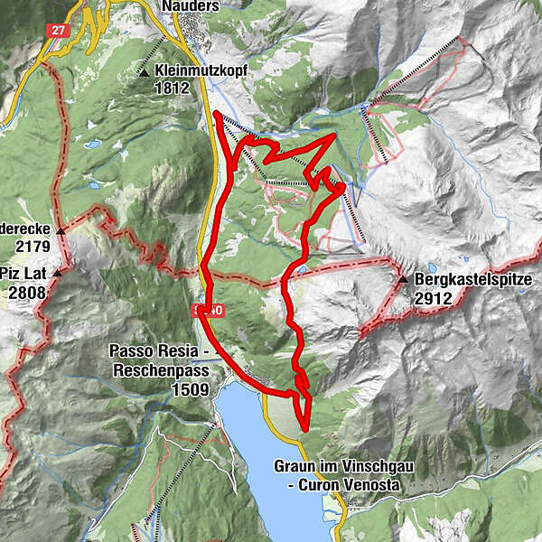
Tour data
20.93km
1,406
- 2,175m
1,769hm
1,769hm
02:15h
- Brief description
-
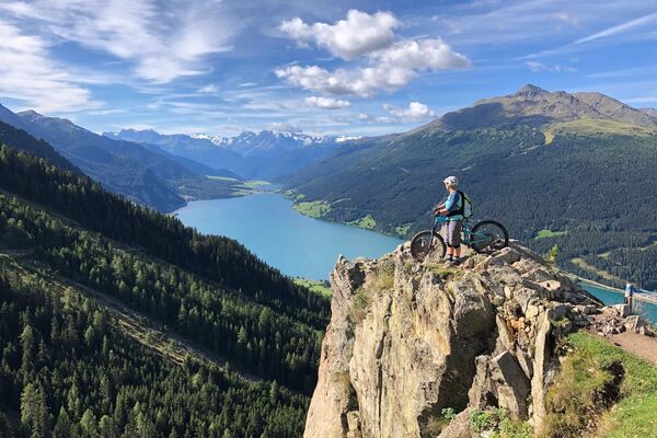
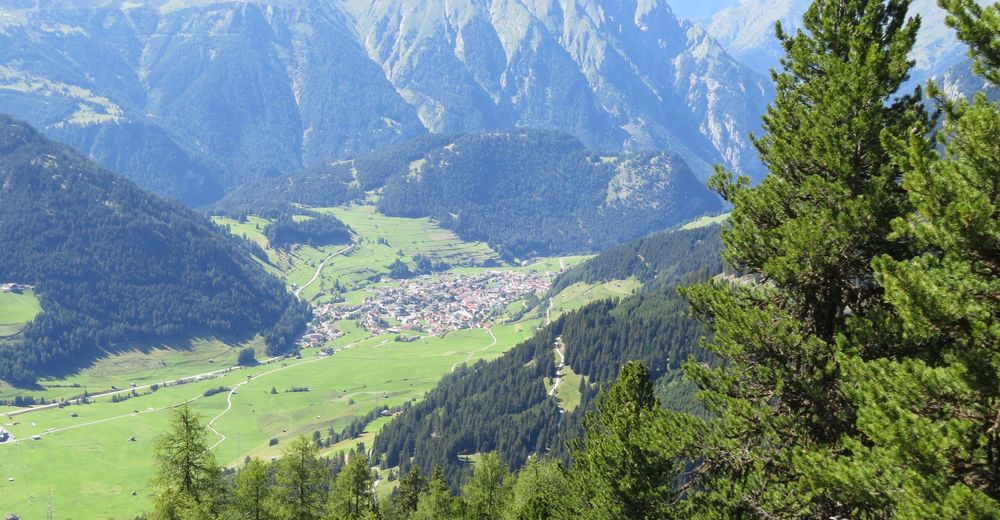
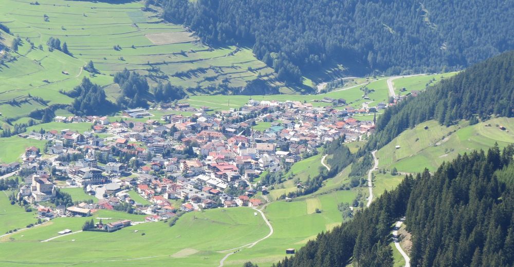
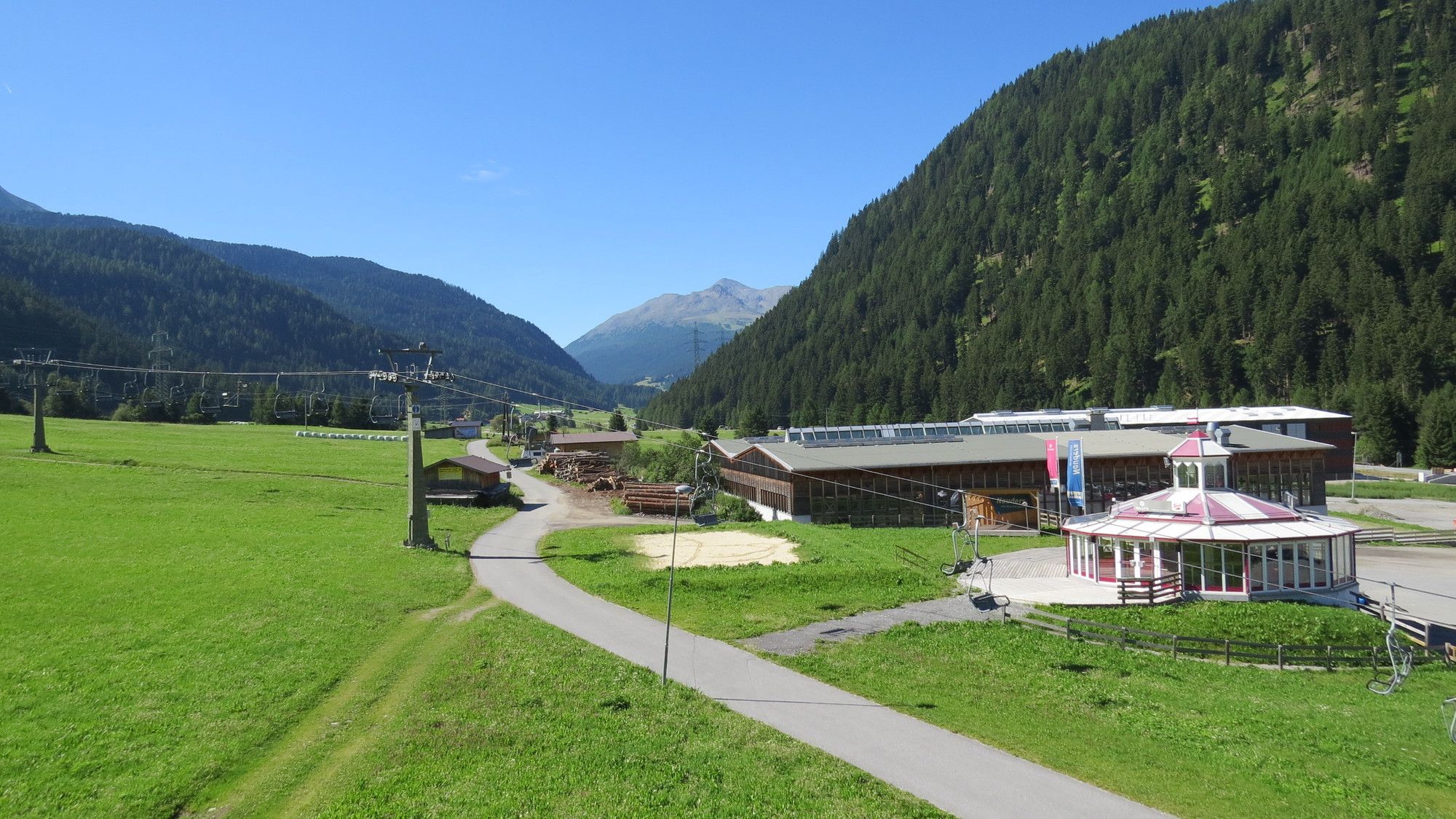
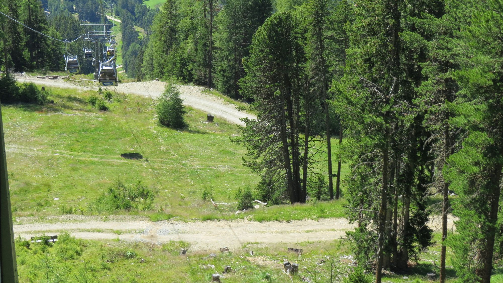
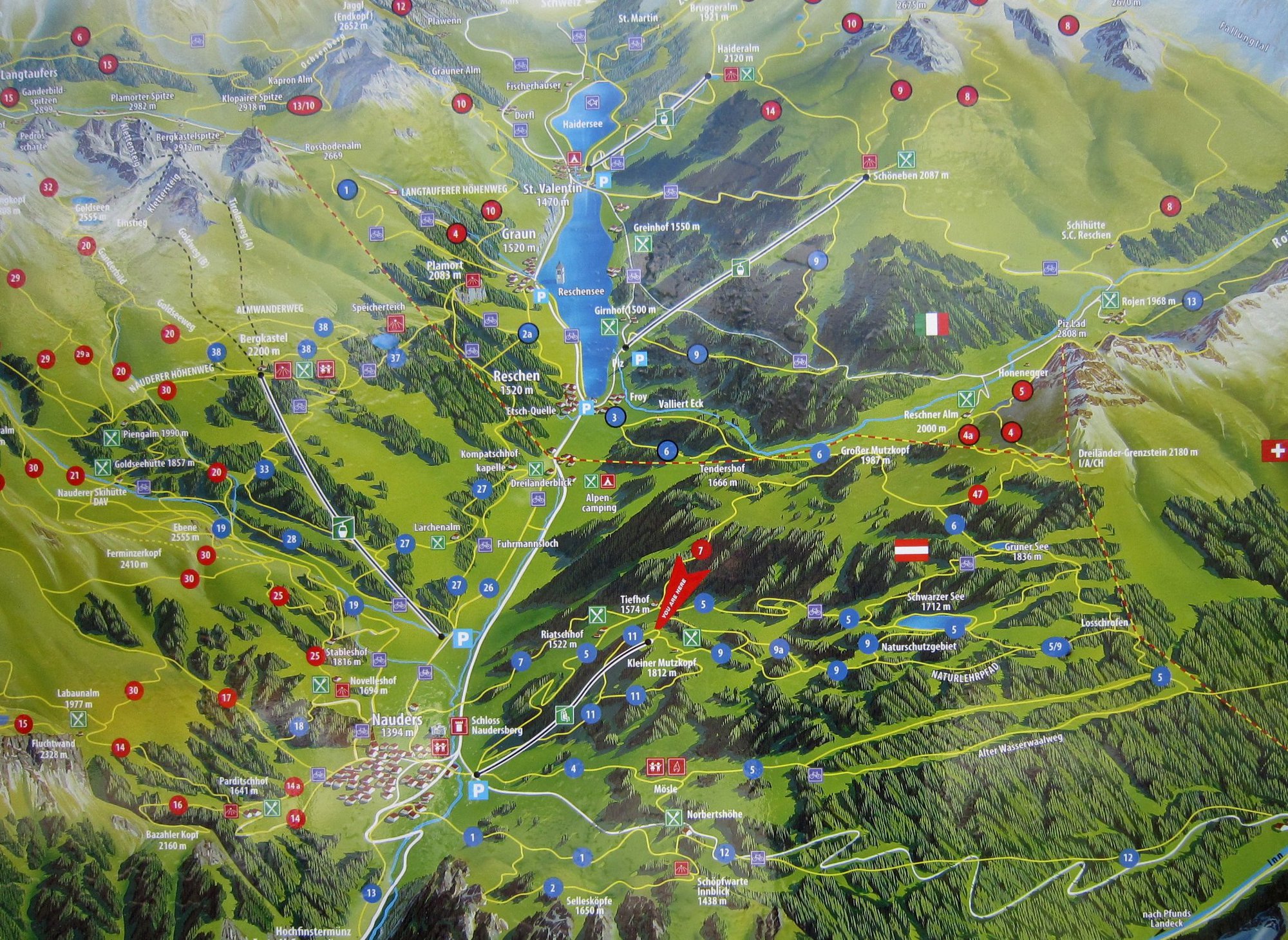
Nauders - Bergkastel - Plamort - Reschen - Nauders
- Difficulty
-
medium
- Rating
-
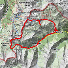
- Route
-
Restaurant ArsangsLärchenhanglift I0.1 kmZirmbahn6.8 kmKlasjungerkopf (2,176 m)7.0 kmBergkastel7.0 kmStieralm7.8 kmPfarrkirche zum heiligen Sebastian14.8 kmReschen (1,500 m)15.0 kmReschnerhof15.2 kmPizzeria Irene17.0 kmDeiländerblick17.7 kmLärchenhanglift I20.6 kmBergkastelbahn20.7 kmRestaurant Arsangs20.7 km
- Highest point
- Bergkastel (2,175 m)
- Videos


- Source
- Ferdinand Baumgartner
GPS Downloads


Other tours in the regions
-
Vinschgau
188
-
Reschenpass
156
-
Reschen
20