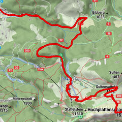
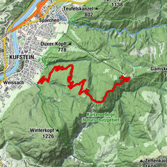
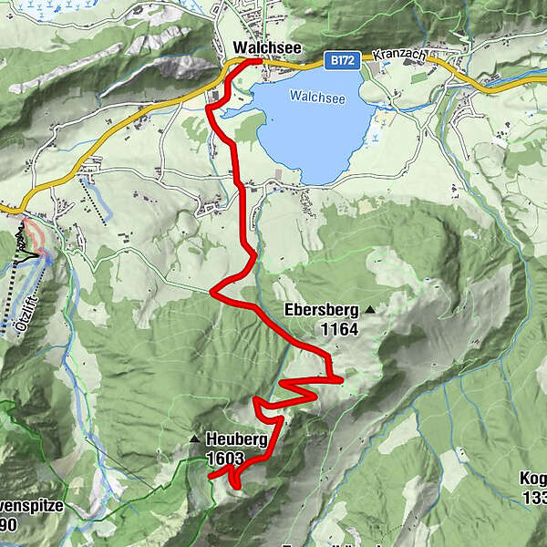
Tour data
7.58km
655
- 1,377m
712hm
02:30h
- Rating
-
- Starting point
-
Walchsee Ortsmitte
- Route
-
WalchseeOed (670 m)1.6 kmHageralm7.5 km
- Highest point
- 1,377 m
GPS Downloads


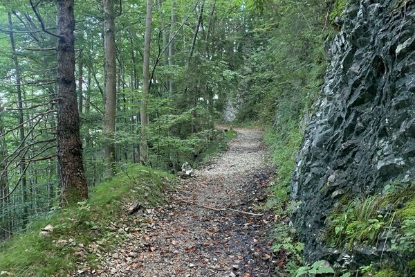
Surfaces
Asphalt
Gravel
Mountain paths
Single trails
Trial
Traffic
Other tours in the regions
-
Kaiserwinkl
294
-
Walchsee
51