
- Brief description
-
all year round scenic route
- Difficulty
-
easy
- Rating
-
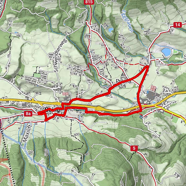
- Starting point
-
Tourist Information Center Going
- Route
-
Going0.1 kmDorfwirt0.4 kmPramakapelle1.1 kmPrama1.2 kmStanglwirt2.1 kmDorfwirt3.3 km
- Best season
-
JanFebMarAprMayJunJulAugSepOctNovDec
- Directions
-
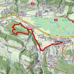
The tour starts at the Tourist Information Center Going. You follow the main street in the village until you reach the bank, where you turn left. After the underpass you follow the Pramaweg on the right past the Prama chapel. Walk along the Kapellenweg towards the swimming lake (Badesee) and turn right at the roundabout towards the Hotel Stanglwirt. Once you reach the Hotel take the underpass to the other side of the main street. Follow the walking path back to the village until you arrive at the bank, where you turn left towards the church. Cross the church square and turn left onto the Lanzenweg. Take the first road down on the right, past the parking lot and turn left at the Marchstrasse. Last but not least, cross the bridge on the right, turn right again and follow that street until you reach the Tourist Information Center.
- Highest point
- 776 m
- Endpoint
-
Tourist Information Center Going
- Height profile
-

- Author
-
The tour Track "Pramarunde" is used by outdooractive.com provided.


-
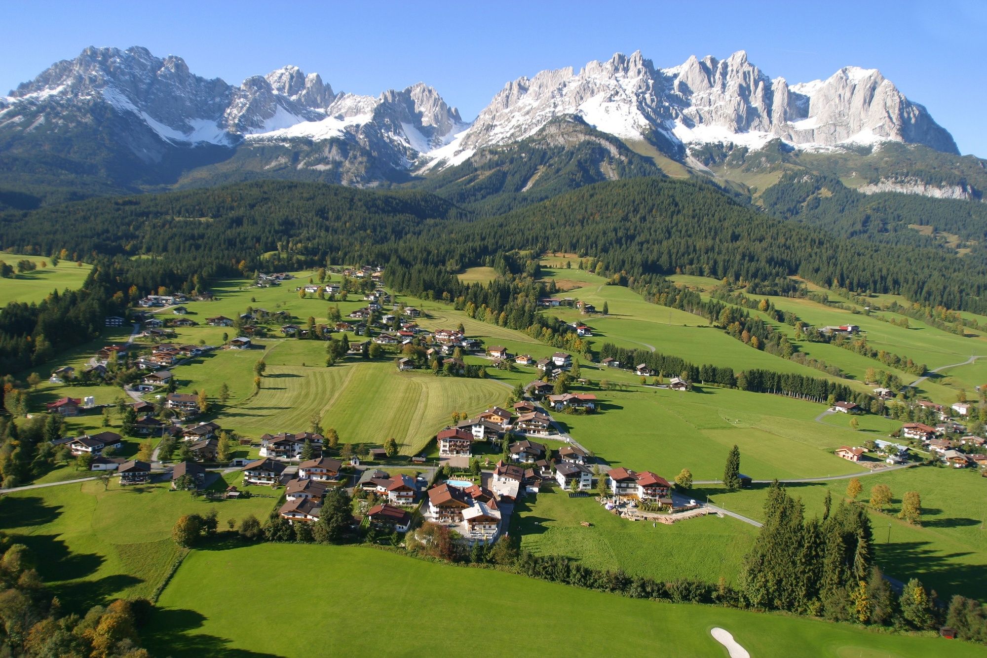
Wilder Kaiser
122
-
Going
43


Sportalpen Marketing")