© GREEN SPORTS - RUNNERSFUN Consulting GmbH - Felix Ettinger

- Difficulty
-
difficult
- Rating
-
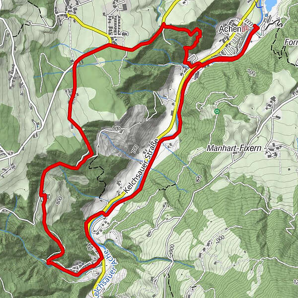
- Route
-
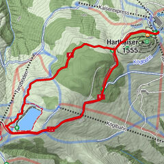
Achen (638 m)0.2 kmAchen (638 m)8.1 km
- Highest point
- 878 m
- Height profile
-


- Author
-
The tour Fohringer Runde is used by outdooractive.com provided.
GPS Downloads


Other tours in the regions
-
Region Hohe Salve
126
-
Hopfgarten
60