© Tannheimer Tal - Tourismusverband Tannheimer Tal

© Tannheimer Tal - Tourismusverband Tannheimer Tal

© Tannheimer Tal - Tourismusverband Tannheimer Tal

© Tannheimer Tal - Tourismusverband Tannheimer Tal

© Tannheimer Tal - Michael Keller
© Tannheimer Tal - Florian Müller

© Tannheimer Tal - Michael Keller

© Ferienregion Tannheimer Tal

© Ferienregion Tannheimer Tal
- Brief description
-
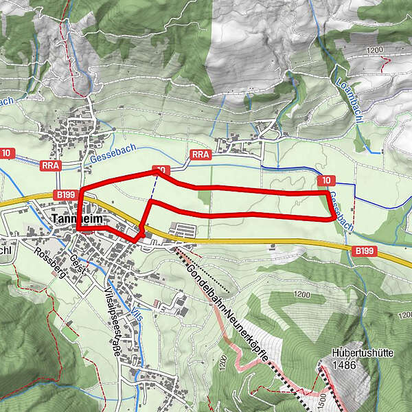
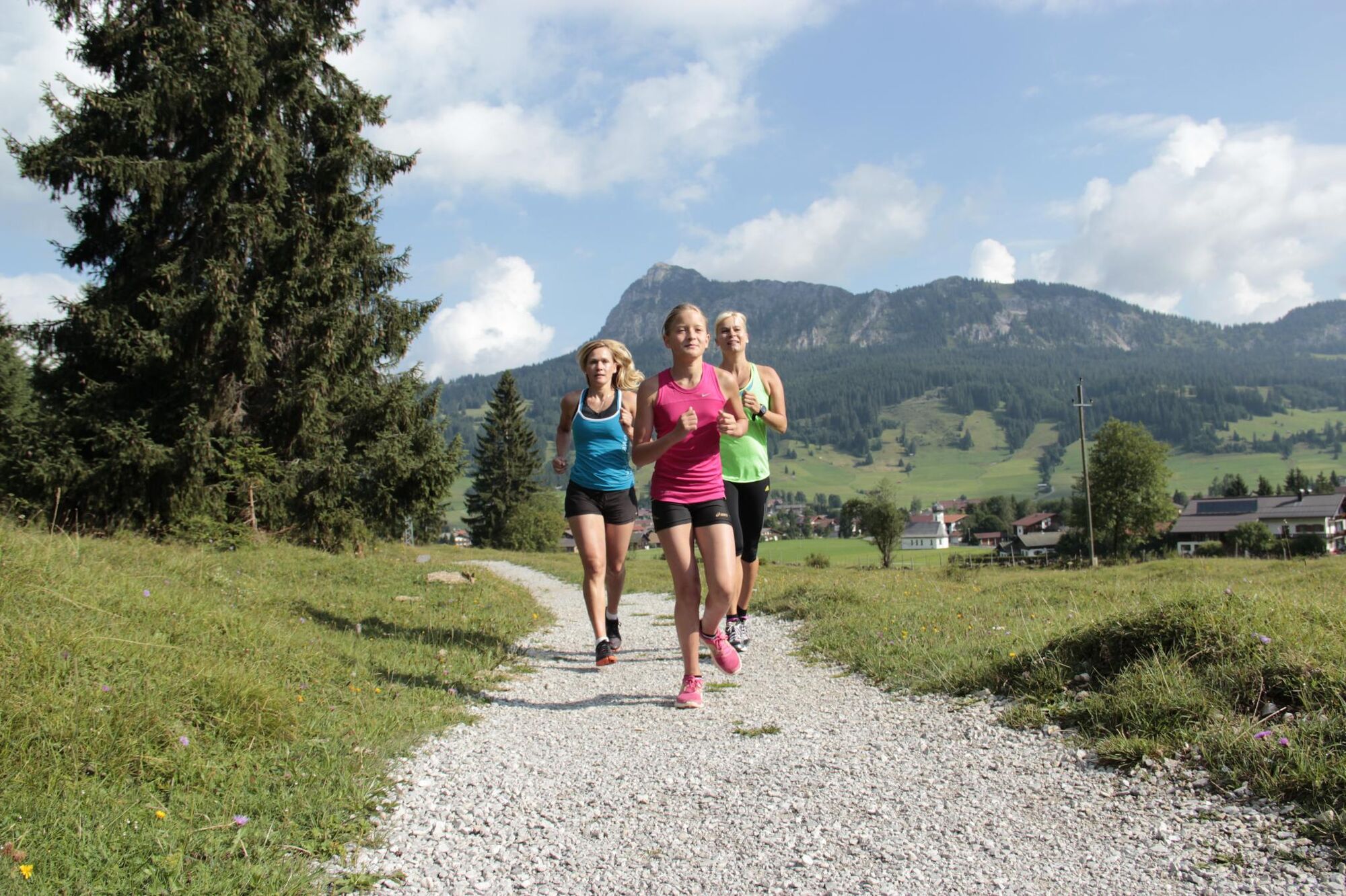
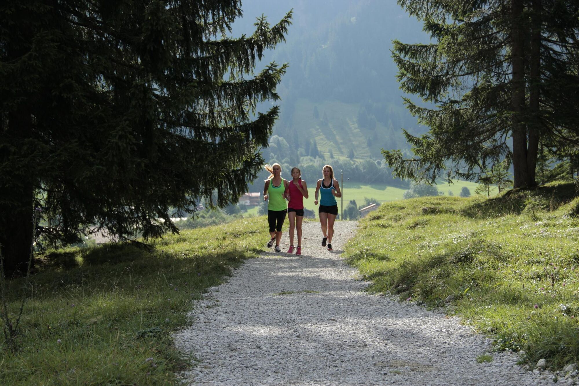
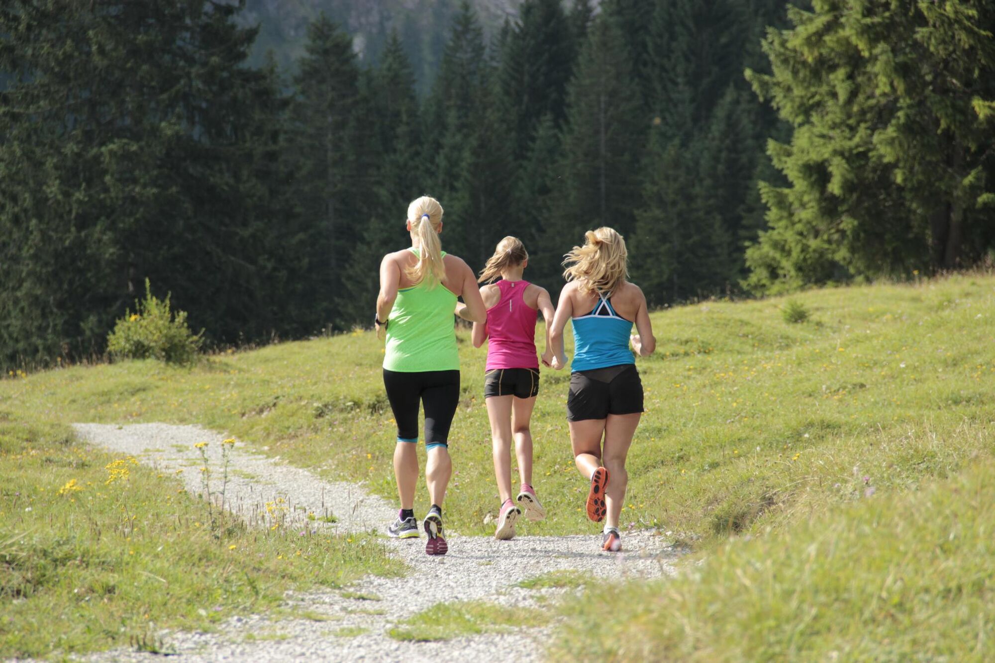
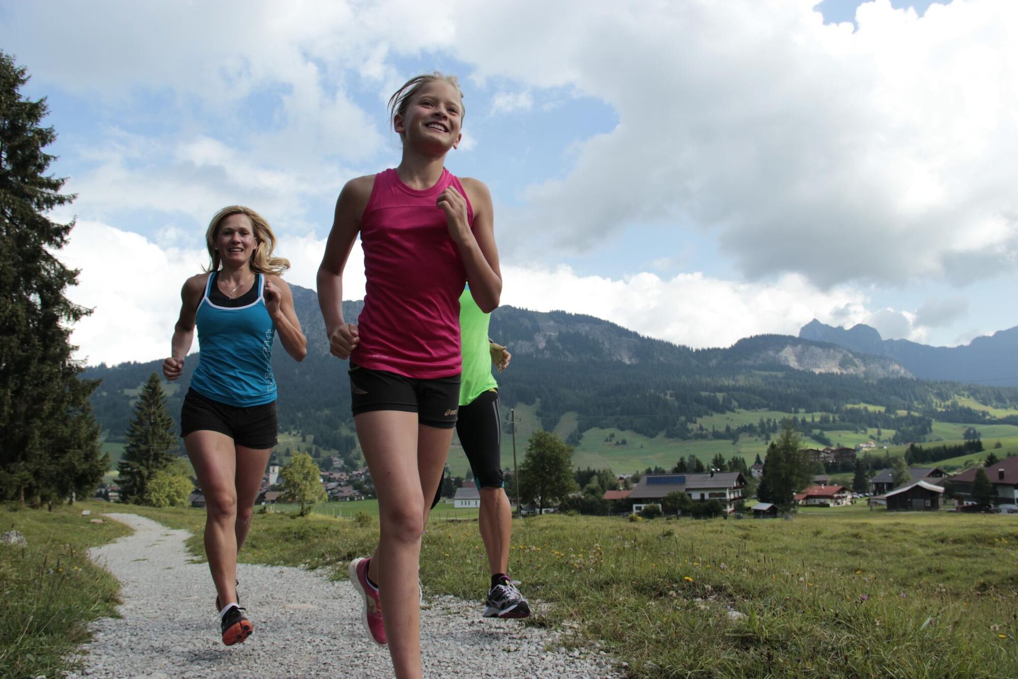
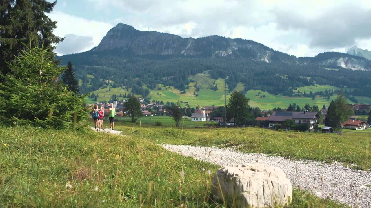
Herrliche Laufrunde durch die Wiesen und Felder.
- Difficulty
-
easy
- Rating
-
- Route
-
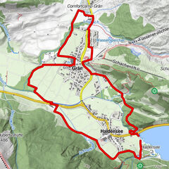
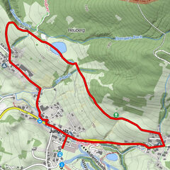
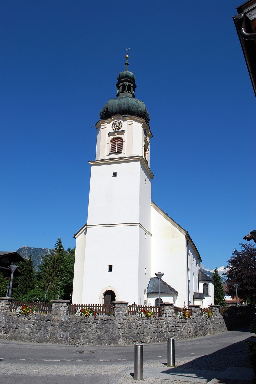
Tannheim (1,097 m)0.0 kmSt. Nikolaus3.3 kmTannheim (1,097 m)3.4 km
- Best season
-
JanFebMarAprMayJunJulAugSepOctNovDec
- Highest point
- 1,101 m
- Endpoint
-
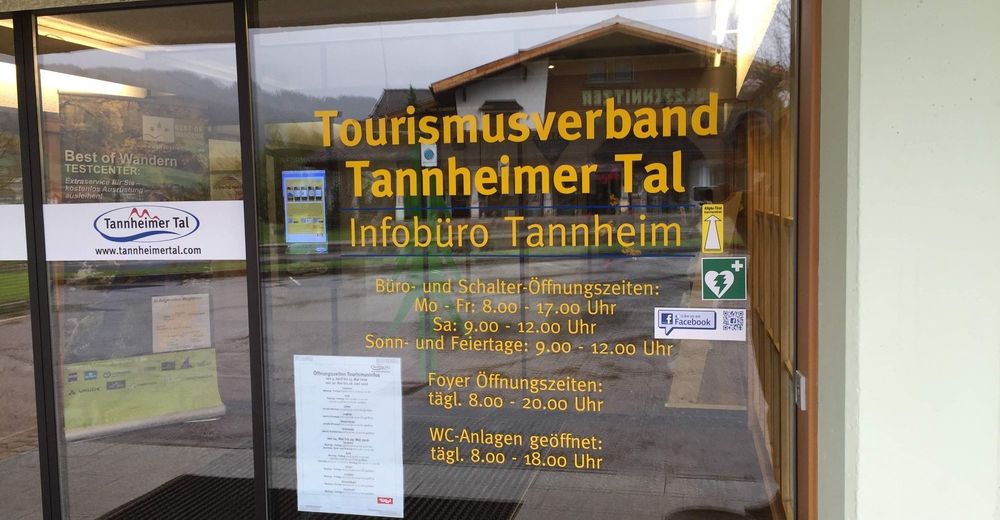
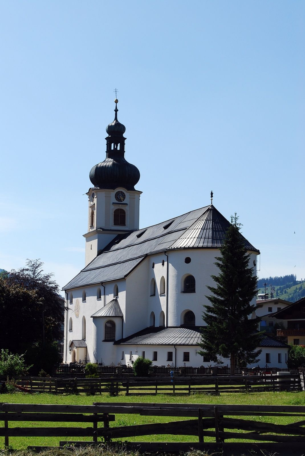
Tourismusinfo Tannheim
- Height profile
-

- Author
-
The tour Schneit-Runde in Tannheim is used by outdooractive.com provided.
GPS Downloads


General info
Refreshment stop
Insider tip
Flora
Fauna
A lot of view
Other tours in the regions
-
Allgäu
60
-
Tannheimer Tal
39
-
Tannheim
34