


- Brief description
-
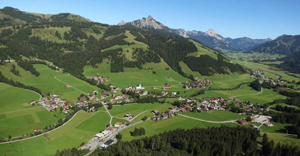
A beautiful and exhausting run in the border area of Austria and Germany.
- Difficulty
-
difficult
- Rating
-
- Starting point
-
Parking at the community center in Schattwald
- Route
-
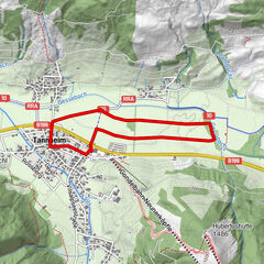
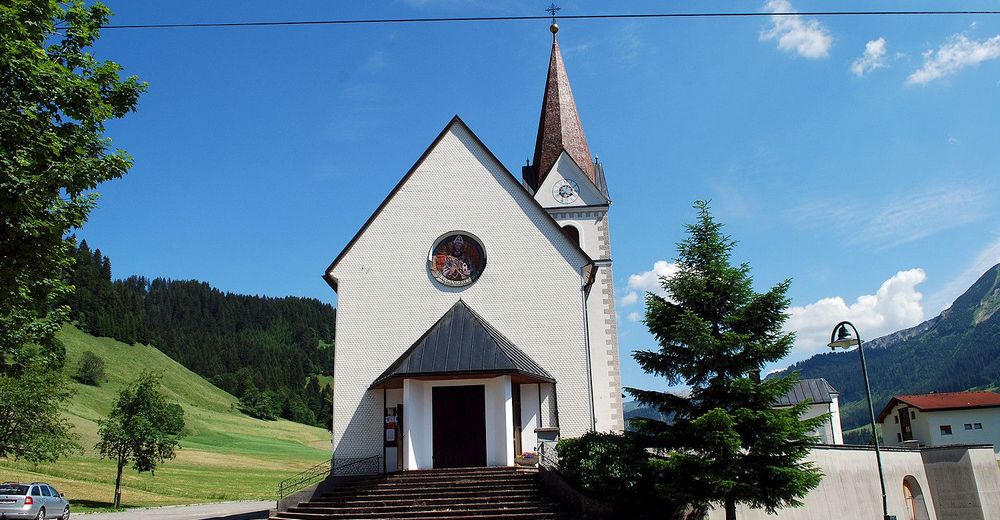
Schattwald (1,072 m)0.2 kmWies0.6 kmPfarrkirche St. Wolfgang0.6 kmSteig1.5 kmKrummenbach5.9 kmSteig8.9 kmWies9.7 kmSchattwald (1,072 m)10.1 km
- Best season
-
JanFebMarAprMayJunJulAugSepOctNovDec
- Description
-
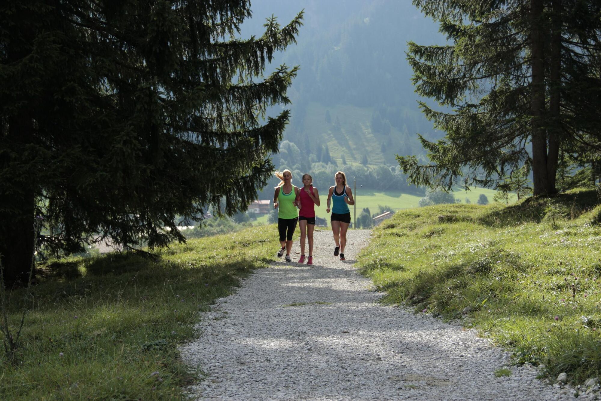
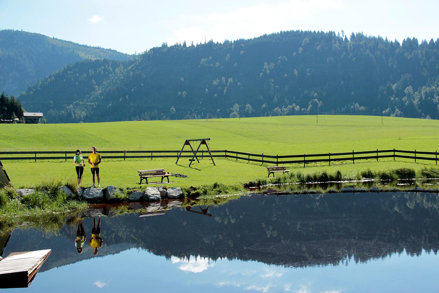
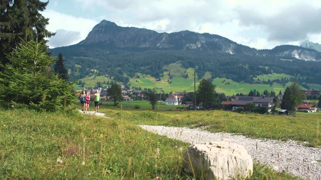
Experience the running and Nordic Walking Arena Tannheimer Tal
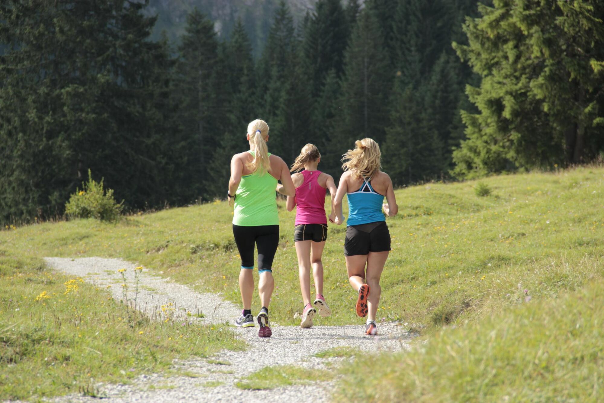
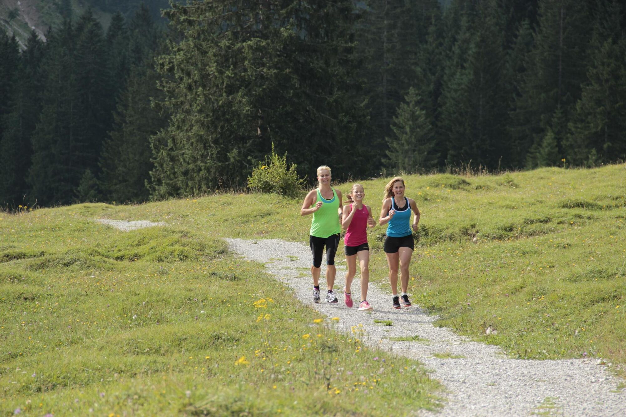
Whether you are a breathless beginner or a well-trained mountaineer: in the Tannheimer Tal everyone who likes to get some fresh air and explore the surrounding mountains on foot gets his money's worth. All active people, from hobby sportsmen to professionals, are spoilt for choice day after day: Tyrol's largest path network offers 26 marked routes which extend over a total of 186 kilometres. Beginner's loops are just as much a part of it as demanding mountain runs. And so that all guests know which route suits their physical condition and requirements, a specially prepared map and small boards provide information about the altitude profile, reason for difficulty and length of the route - the running and Nordic Walking map.
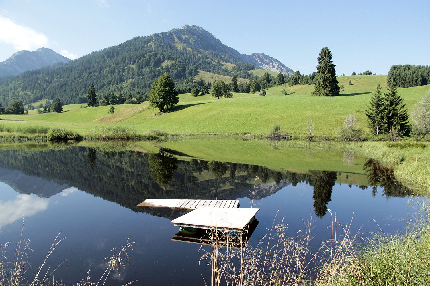
Along meadows, over green pastures, along glittering mountain lakes... Walking and running in the Tannheimer Tal is not only the best training for the body, but above all a balm for the soul. The starting points for all those hungry for exercise are in the six villages Tannheim, Grän- Haldensee, Nesselwängle-Haller, Zöblen, Schattwald and Jungholz. From here, walkers, Nordic walkers and runners follow the signs. They are easy to recognize: Male with the sticks. In addition, all routes, as well as ski slopes, are divided into the categories black, red and blue. An optimal marking, which among other things has contributed to the fact that since 2005 the probably most beautiful high valley in Europe can officially call itself "Running and Walking Competence Tower".
- Directions
-
Vom Gemeindehaus in Schattwald Richtung Westen bei der ersten Möglichkeit rechts abbiegen unw weiter bis zur Kirche. Hier links halten und weiter Richtung Ortsteil Kappl, und im Ortsteil Kappl links, vor der Vilsbrücke rechts und entlang der Vils bis zur Kläranlage. Dort links über die Vils und am Stausee vorbei Richtung Süden. Auf den asphaltierten Rehbachweg kommend links bis zum Waldstück, dann links abbiegen und weiter Richtung Westen. Nach der Einmündung in die Straße links abbiegen und zum Weiler Krummenbach. Von dort Richtung Osten bis auf den asphaltierten Rehbachweg. Hier rechts abbiegen und vor dem Ortsteil Steig links abbiegen und bis zum Kläranlage. Dort rechts halten und am Südufer der Vils entlang bis zur Vilsbrücke und diese überqueren. Und zurück zum Ausgangspunkt.
- Highest point
- 1,098 m
- Endpoint
-
Parking at the community center in Schattwald
- Height profile
-

- Equipment
-
The personal equipment must be safe and serviceable and meet the relevant technical standards. Everyone is recommended to inform themselves about the planned tours in technical literature or on site. Complete equipment is strongly recommended, even for experienced riders!
- Safety instructions
-
It should be noted that running and walking may involve a risk of accident and injury. Despite careful route planning, a basic risk always remains. Tour preparation through endurance sports, appropriate technical training and further education as well as personal prudence reduces the risk of accidents and injuries.
- Tips
-
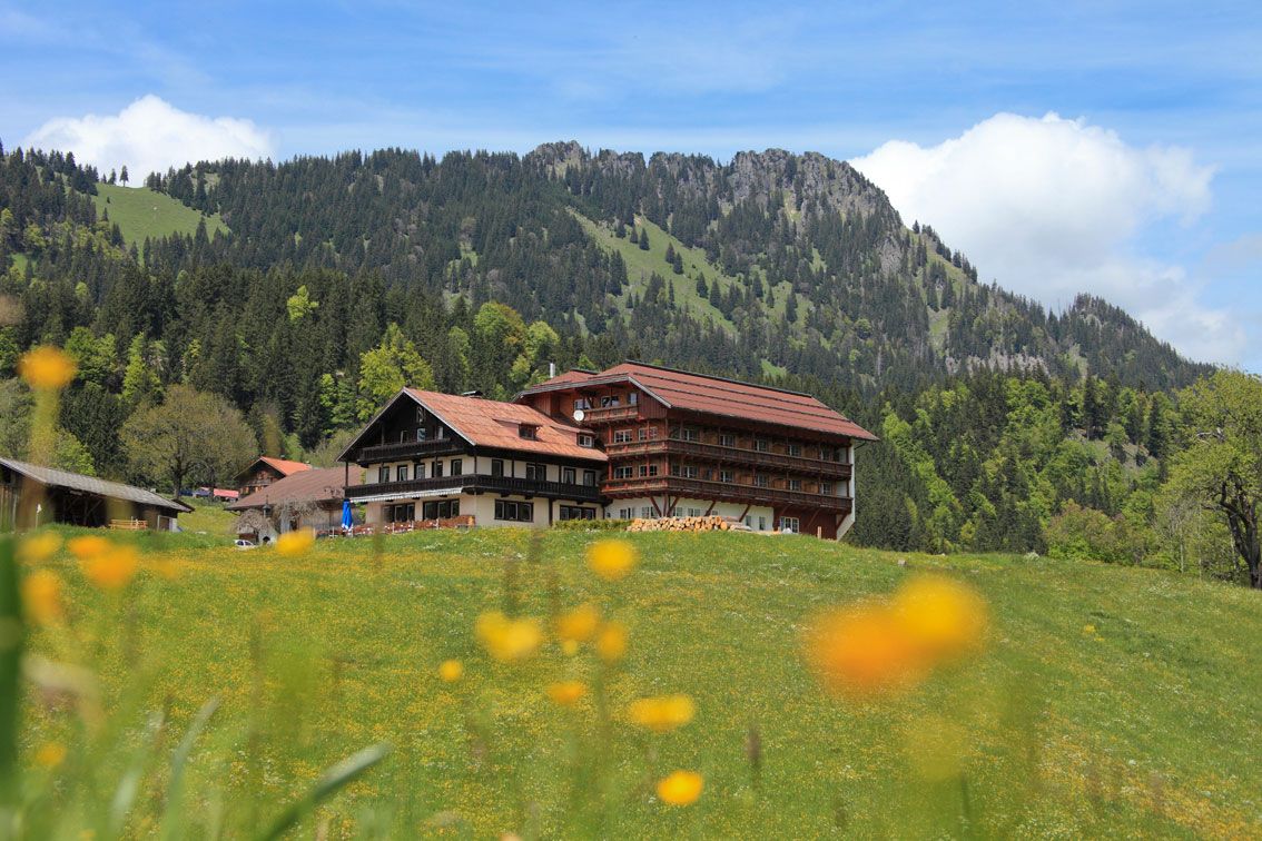
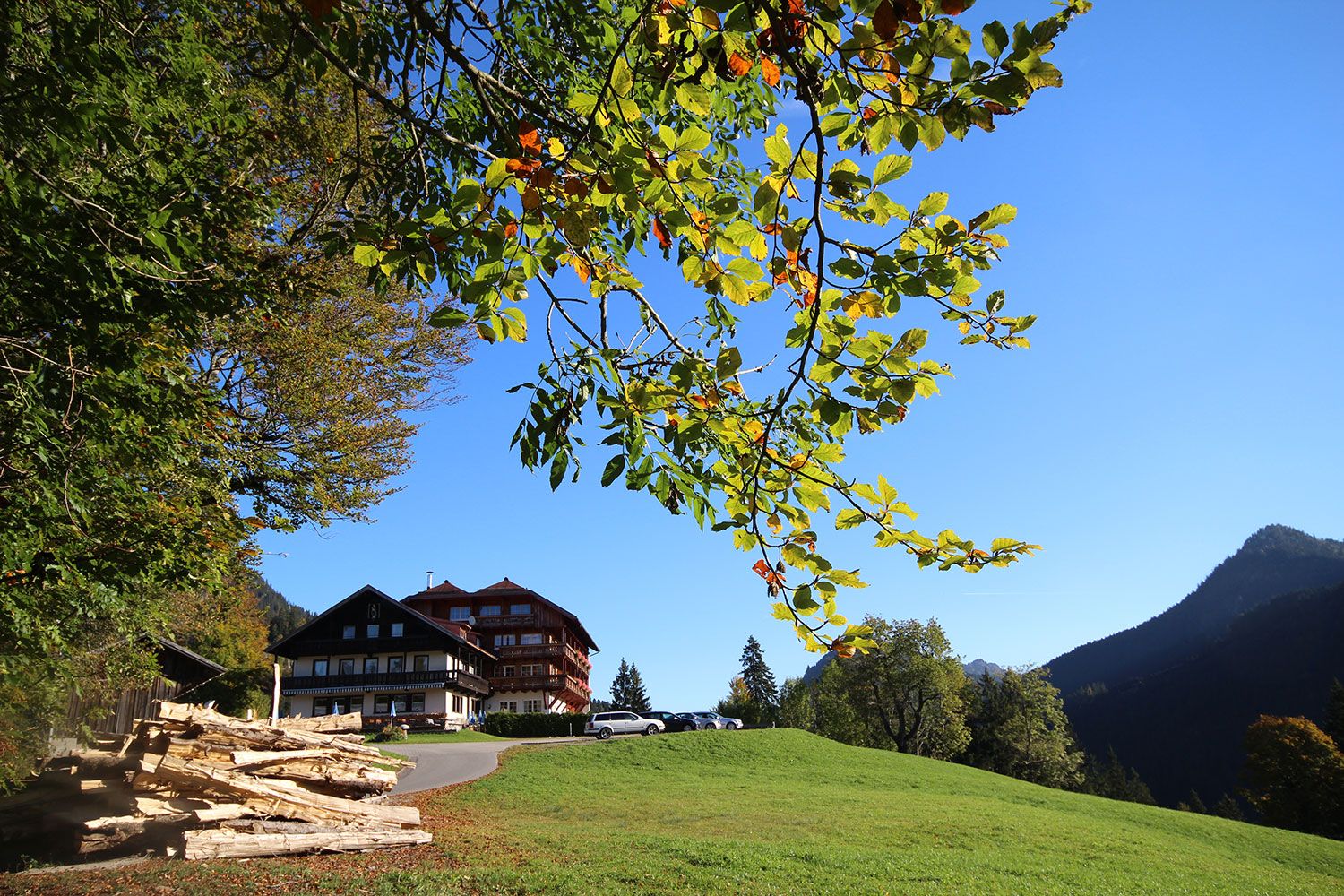
A stop at the rest hotel Rehbach is recommended.
- Additional information
-
Tourismusverband Tannheimer Tal
- Directions
-
On the motorway A7 at the exit "Oy-Mittelberg" on the B310 towards Wertach and to Oberjoch. There follow the signposting "Tannheimer Tal" B199 until you reach the community centre of Schattwald. From the Tyrolean side via Reutte on the B198 in the direction of Lechtal to Weißenbach, over the Gaichtpass along the B199 to the community centre of Schattwald.
- Public transportation
-
By train to Sonthofen, Pfronten/Ried or Reutte, then by bus to Schattwald.
- Parking
-
Parking lot at the community center in Schattwald - with costs


- Author
-
The tour Rehbach round is used by outdooractive.com provided.


General info
-
Allgäu
60
-
Tannheimer Tal
39
-
Schattwald - Zöblen
36