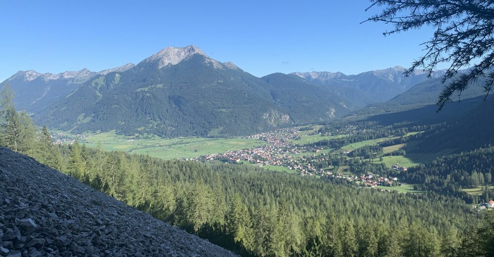
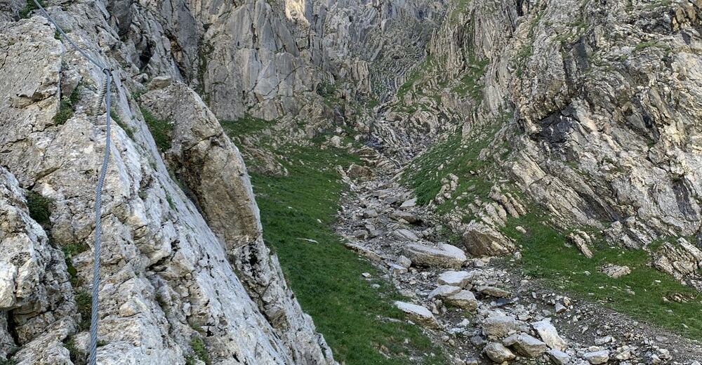
Hohe Gänge - Via Ferrata Vorderer Tajakopf - Via Ferrata Hinterer Tajakopf - Immensteig

Via ferrata


Tour data
15.65km
1,107
- 2,415m
1,474hm
1,487hm
06:05h

- Difficulty
-
difficult
- Rating
-
- Route
-
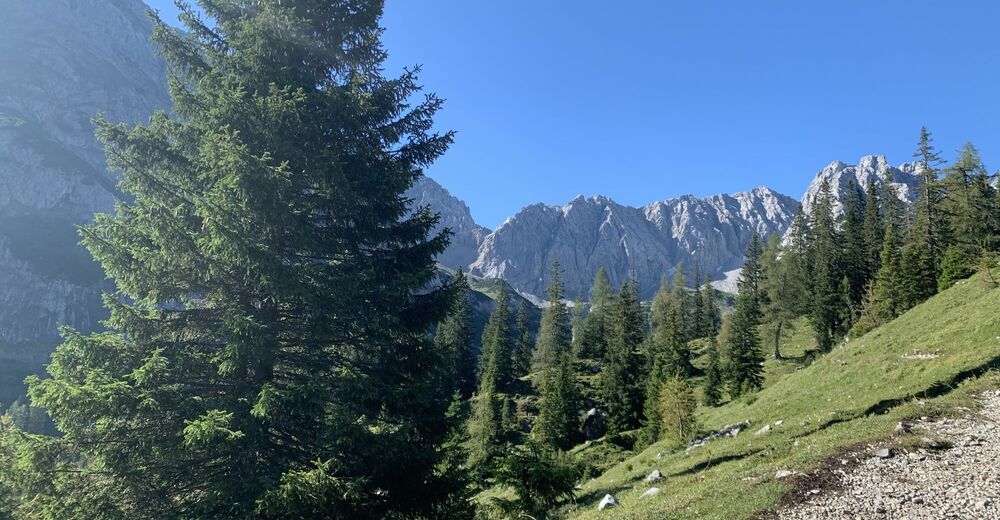
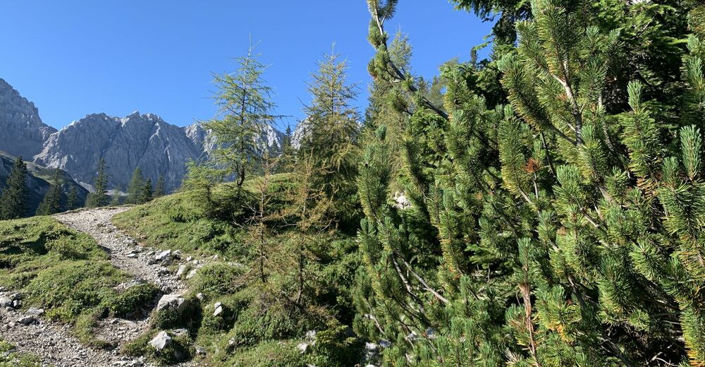
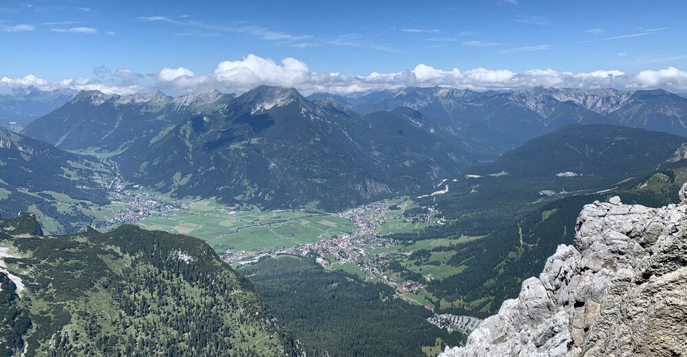
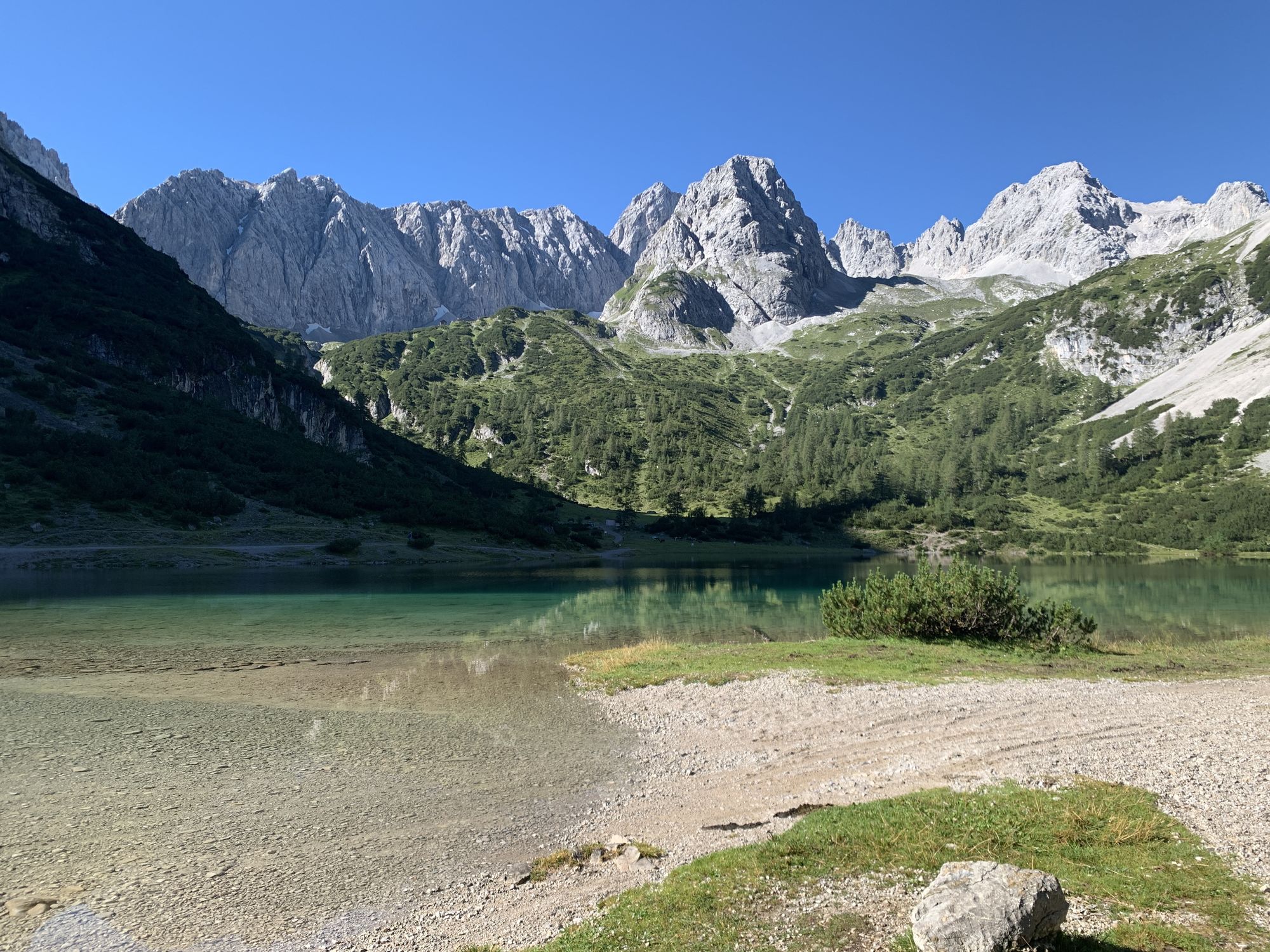
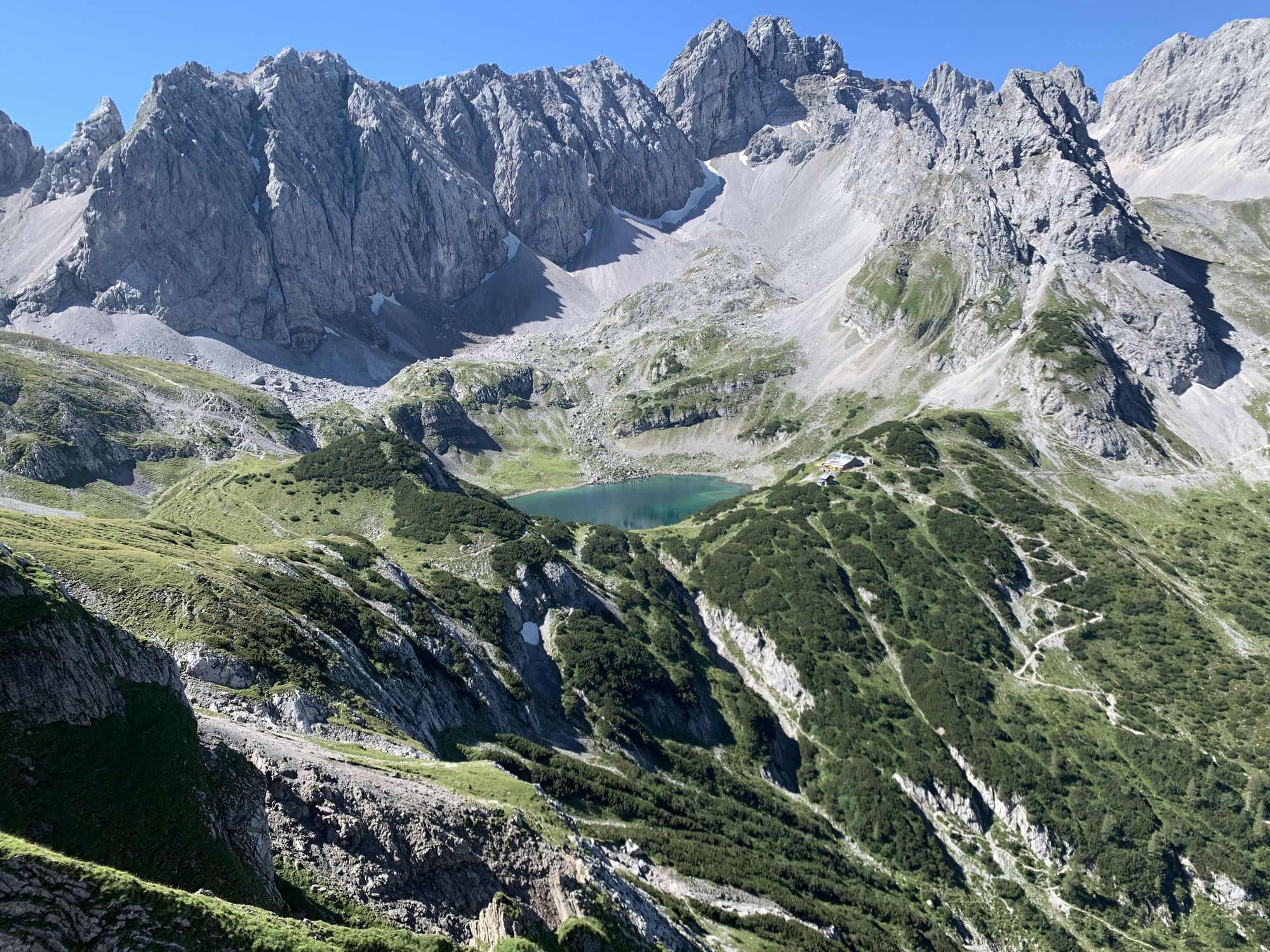
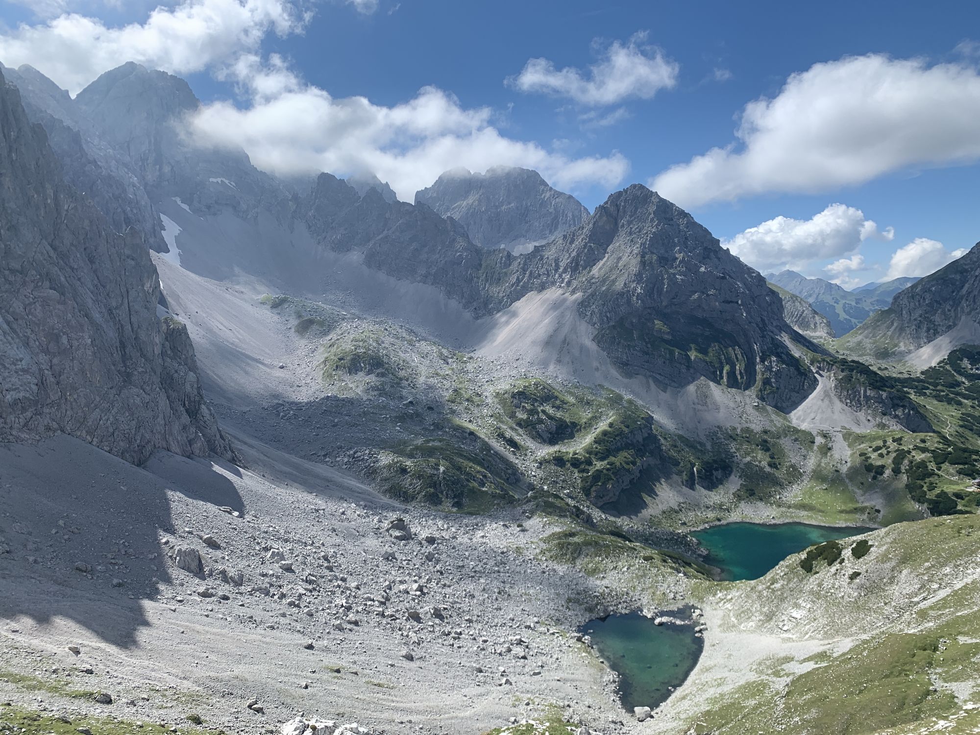
Coburger Bank2.3 kmVorderer Tajakopf (2,450 m)6.1 kmVorderes Tajatörl (2,272 m)6.4 kmHinterer Tajakopf (2,407 m)6.9 kmSeeben Alm11.1 kmSeebenfall11.2 kmBrentAlm15.5 km
- Best season
-
JanFebMarAprMayJunJulAugSepOctNovDec
- Description
-
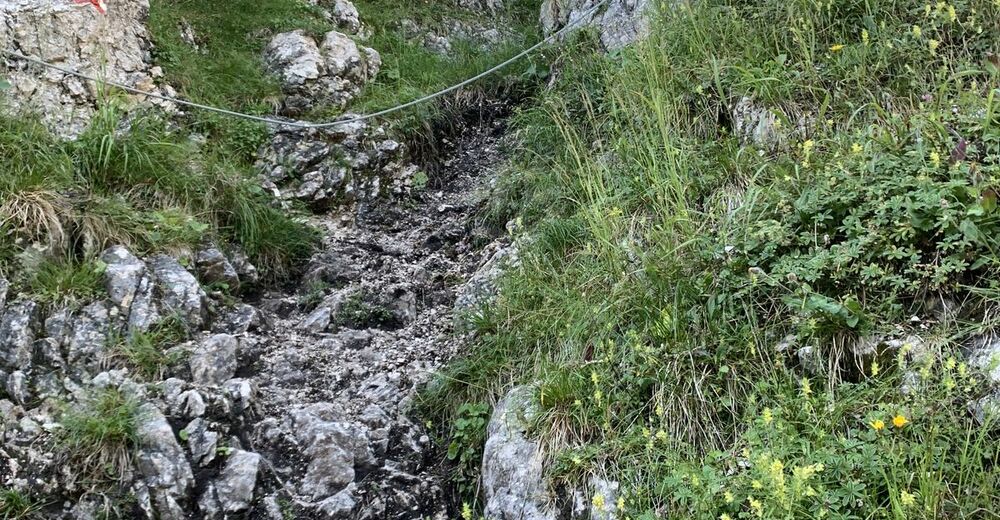
Editor's note:
03.06.2023: The "Tajaklettersteig" in Ehrwald is now open again!
There are still some snowfields to cross on the ascent and descent! Please take care here! - Highest point
- 2,415 m


GPS Downloads


Other tours in the regions