
- Brief description
-
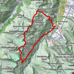
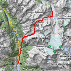
VENT -> Hochjoch Hospiz -> BRANDENBURGERHAUS
- Difficulty
-
difficult
- Rating
-
- Starting point
-
Vent
- Route
-
VentOchsenkopflift0.3 kmGasthaus Rofenhof2.2 kmRofen2.2 kmHochjoch-Hospiz8.5 kmBrandenburger Haus14.8 km
- Best season
-
JanFebMarAprMayJunJulAugSepOctNovDec
- Description
-
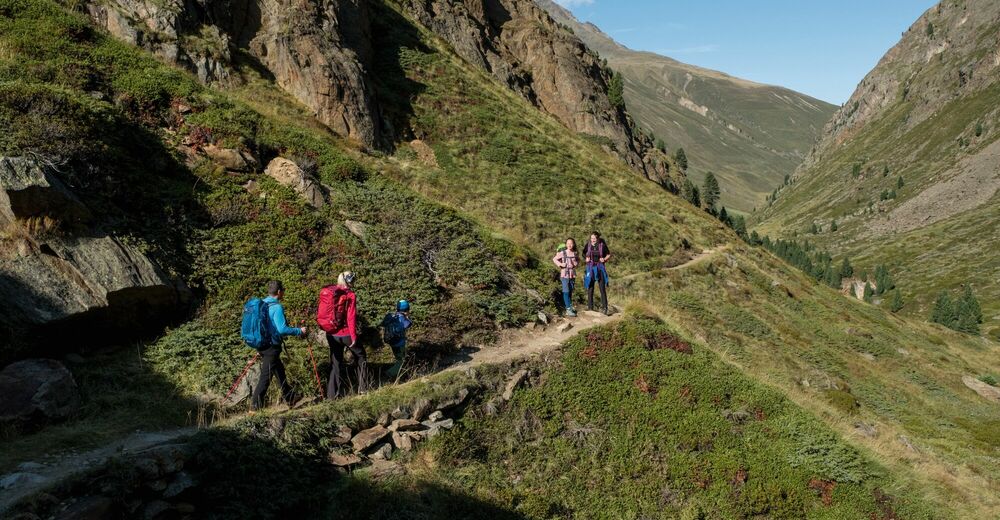
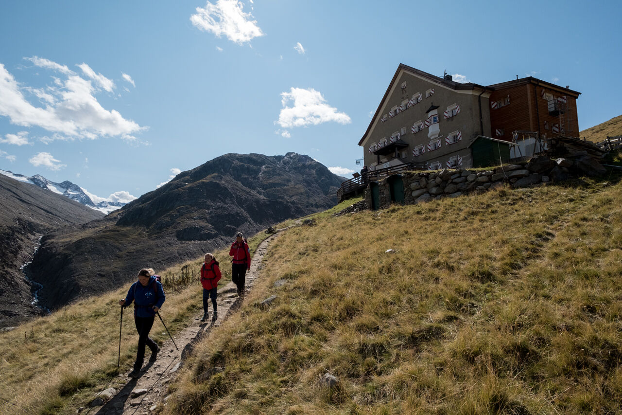
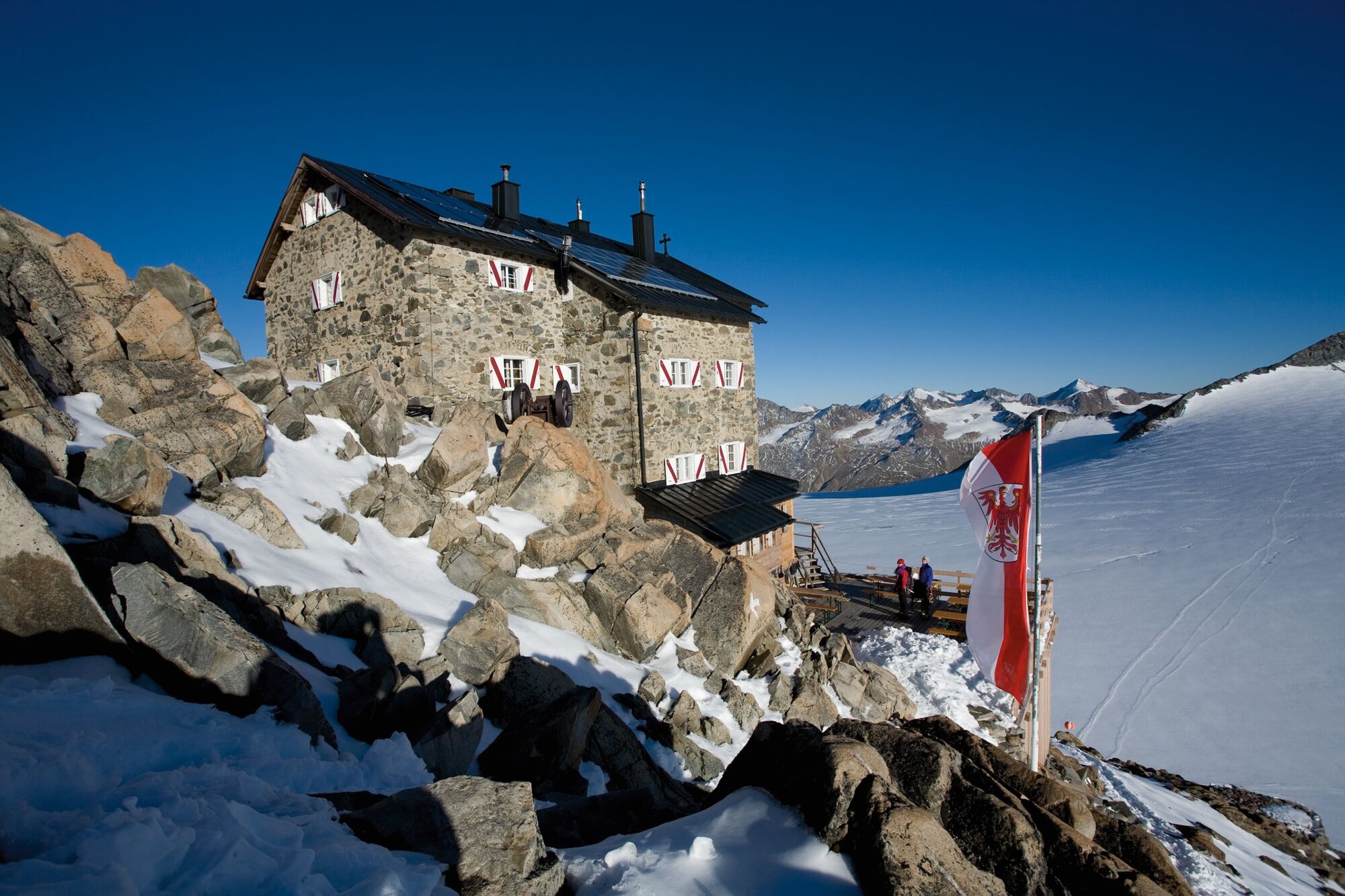
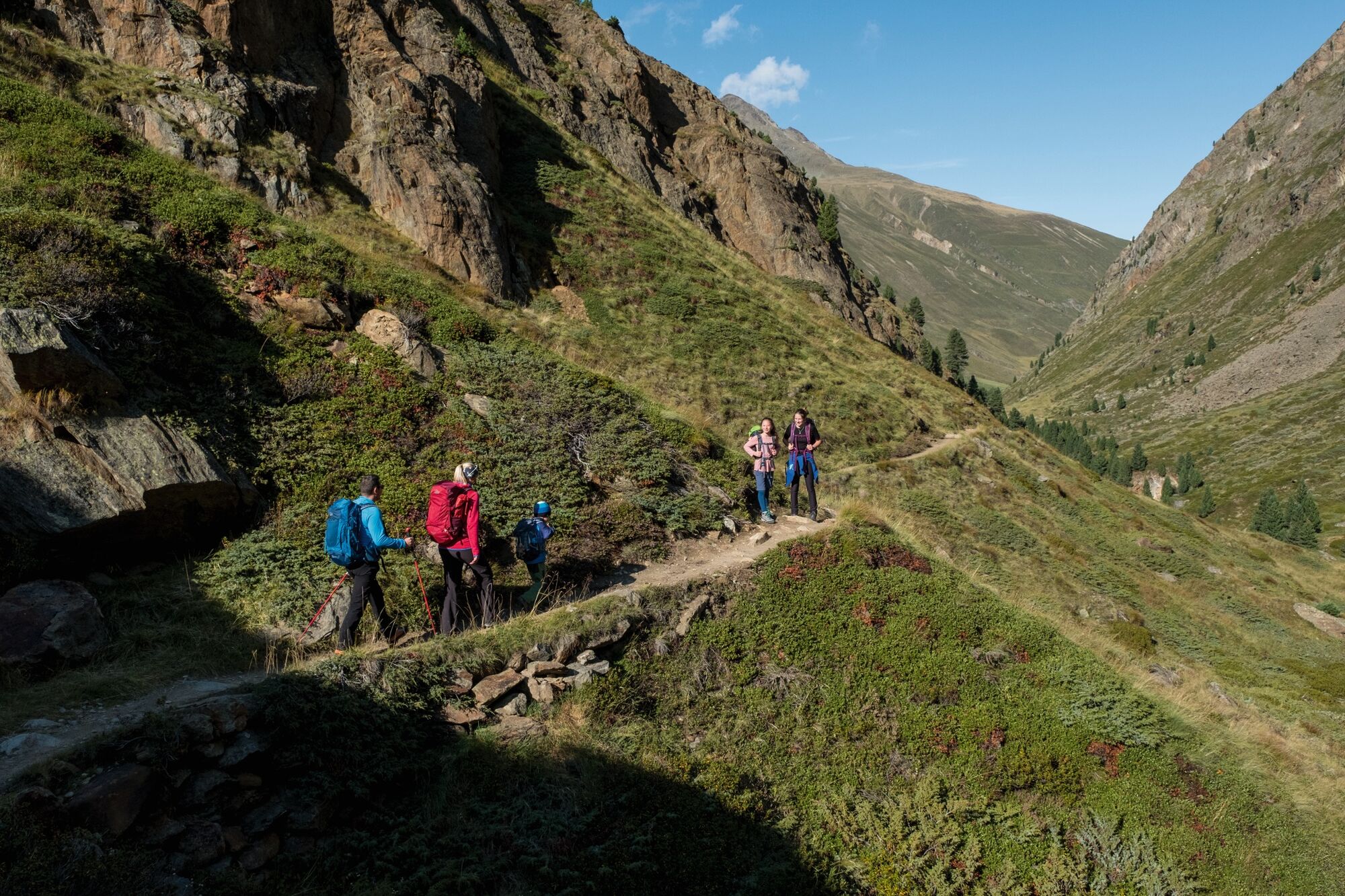
Across Alpine meadows and a scenic suspension bridge you walk along the trail from Vent to Rofen. Here you continue towards the goods lift of Vernagthütte and further on across the picture-book Rofner Schlucht gorge. The permanently ascending trail is very steep and demanding before you reach Hochjoch Hospiz. A switch-backing and very steep path takes you up the slope. Turn left after approx. 15 walking minutes. The eternal ice of Kesselwandferner features many dangerous crevasses, therefore it is strongly recommended to cross the glacier field only in a group and with ropes – guided by a professional mountain expert!
- Directions
-
Across Alpine meadows and a scenic suspension bridge you walk along the trail from Vent to Rofen. Here you continue towards the goods lift of Vernagthütte and further on across the picture-book Rofner Schlucht gorge. The permanently ascending trail is very steep and demanding before you reach Hochjoch Hospiz. A switch-backing and very steep path takes you up the slope. Turn left after approx. 15 walking minutes. The eternal ice of Kesselwandferner features many dangerous crevasses, therefore it is strongly recommended to cross the glacier field only in a group and with ropes – guided by a professional mountain expert!
- Highest point
- 3,242 m
- Endpoint
-
Brandenburger House
- Height profile
-

- Equipment
-
Appropriate equipment such as breathable suitable outdoor clothes for the weather, ankle-high walking boots, wind-, rain- & sun protection, hat, possibly gloves, is for all hikes and tours necessary. Please bring a first-aid box, a mobile phone, a walking map and if there is no hut on the way a snack and enough to drink.
- Safety instructions
-
For high alpine experienced mountaineers that are free from vertigo & surefooted. Excellent physical condition, extensive mountain experience, alpine climbing gear, safety- and orientation guide, good weather conditions recommended. Please pay attention to the current weather report: www.oetztal.com
- Additional information
- Directions
- Public transportation
- Parking
-
The following parking options are available in the mountaineering village Vent
- In summertime in front of the village (parking machine, only coins or EC card) and at the chairlift (at the ticket office of the mountain railways)
- In wintertime only at the chairlift
Cost: € 6,00 per day/car


- Author
-
The tour Vent - Hochjoch Hospiz - Brandenburger Haus is used by outdooractive.com provided.
GPS Downloads


Other tours in the regions
-
Vinschgau
130
-
Schnalstal
99
-
Vent
56


")