© Berg.Vital.Hotel. Alpenaussicht - Ronald Ribis

© Berg.Vital.Hotel. Alpenaussicht - Ronald Ribis

© Berg.Vital.Hotel. Alpenaussicht - Ronald Ribis

© Berg.Vital.Hotel. Alpenaussicht - Ronald Ribis

© Berg.Vital.Hotel. Alpenaussicht - Ronald Ribis

© Berg.Vital.Hotel. Alpenaussicht - Ronald Ribis

© Berg.Vital.Hotel. Alpenaussicht - Ronald Ribis

© Berg.Vital.Hotel. Alpenaussicht - Ronald Ribis

© Berg.Vital.Hotel. Alpenaussicht - Ronald Ribis

© Berg.Vital.Hotel. Alpenaussicht - Ronald Ribis

- Brief description
-
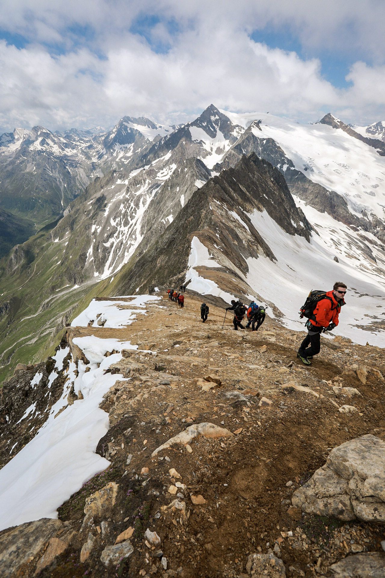
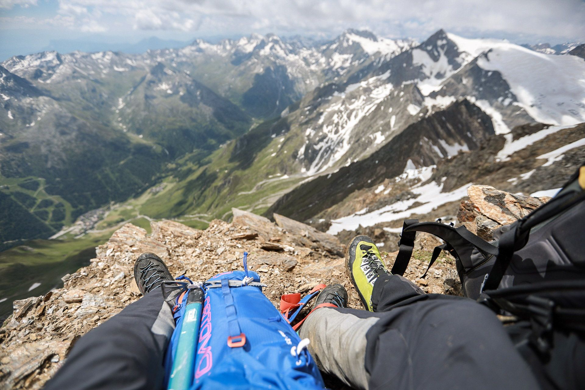
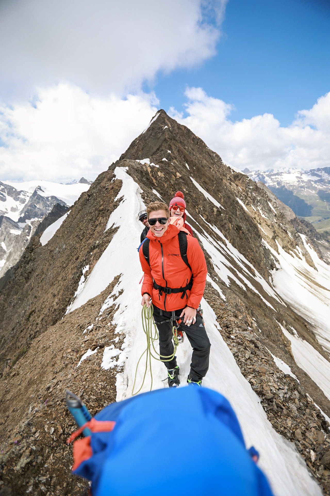
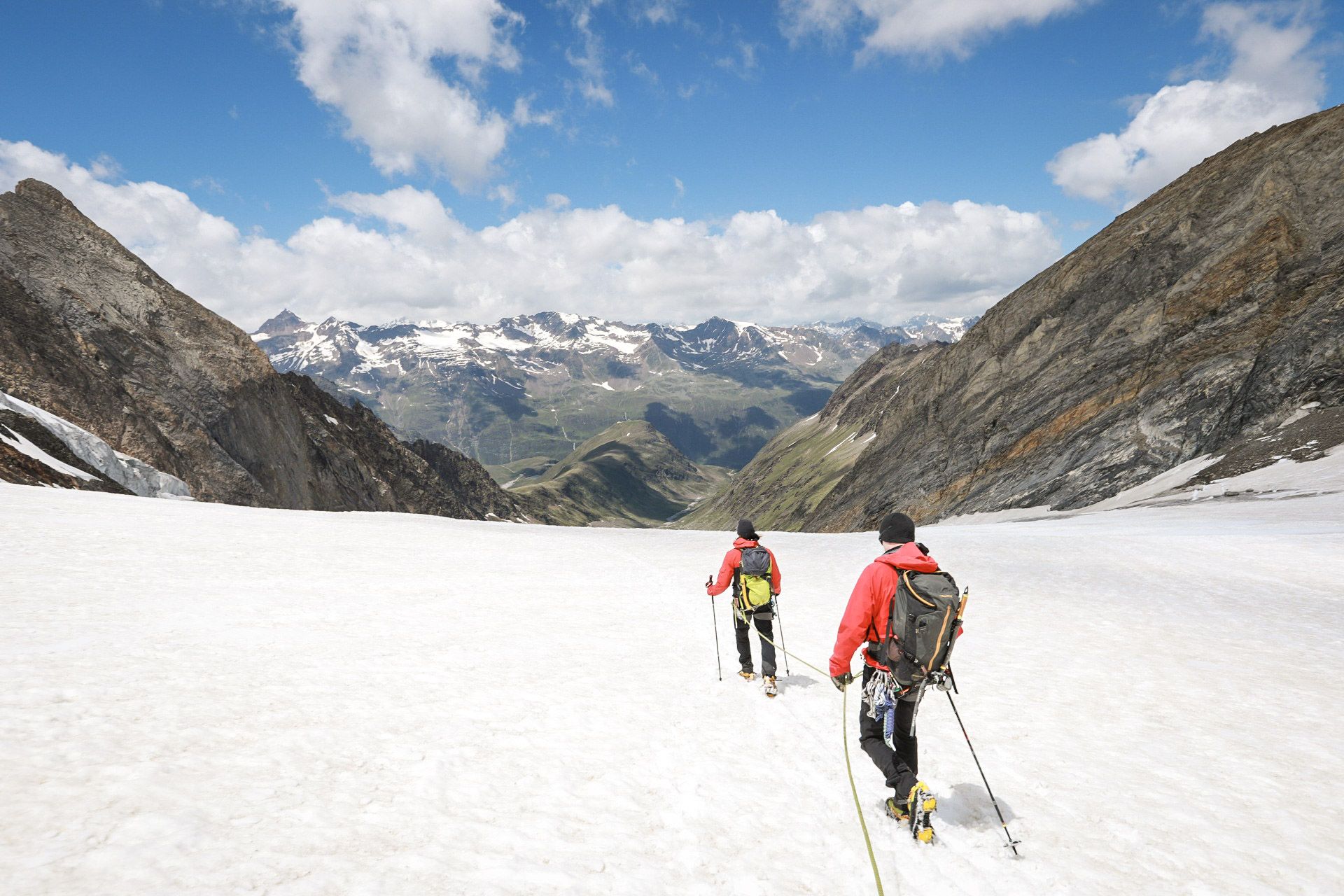
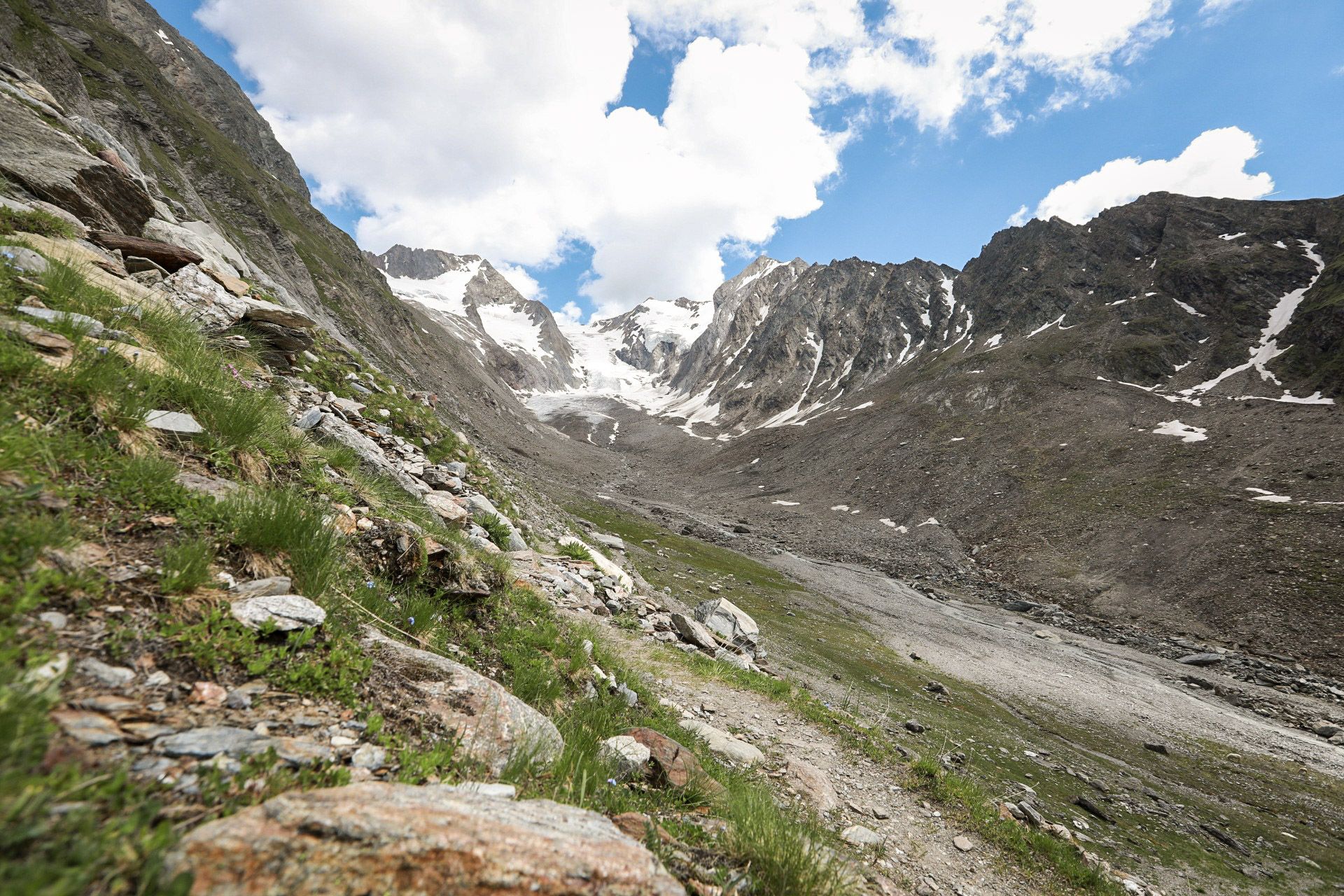
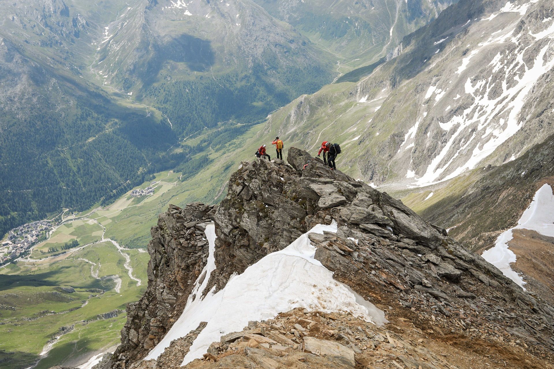
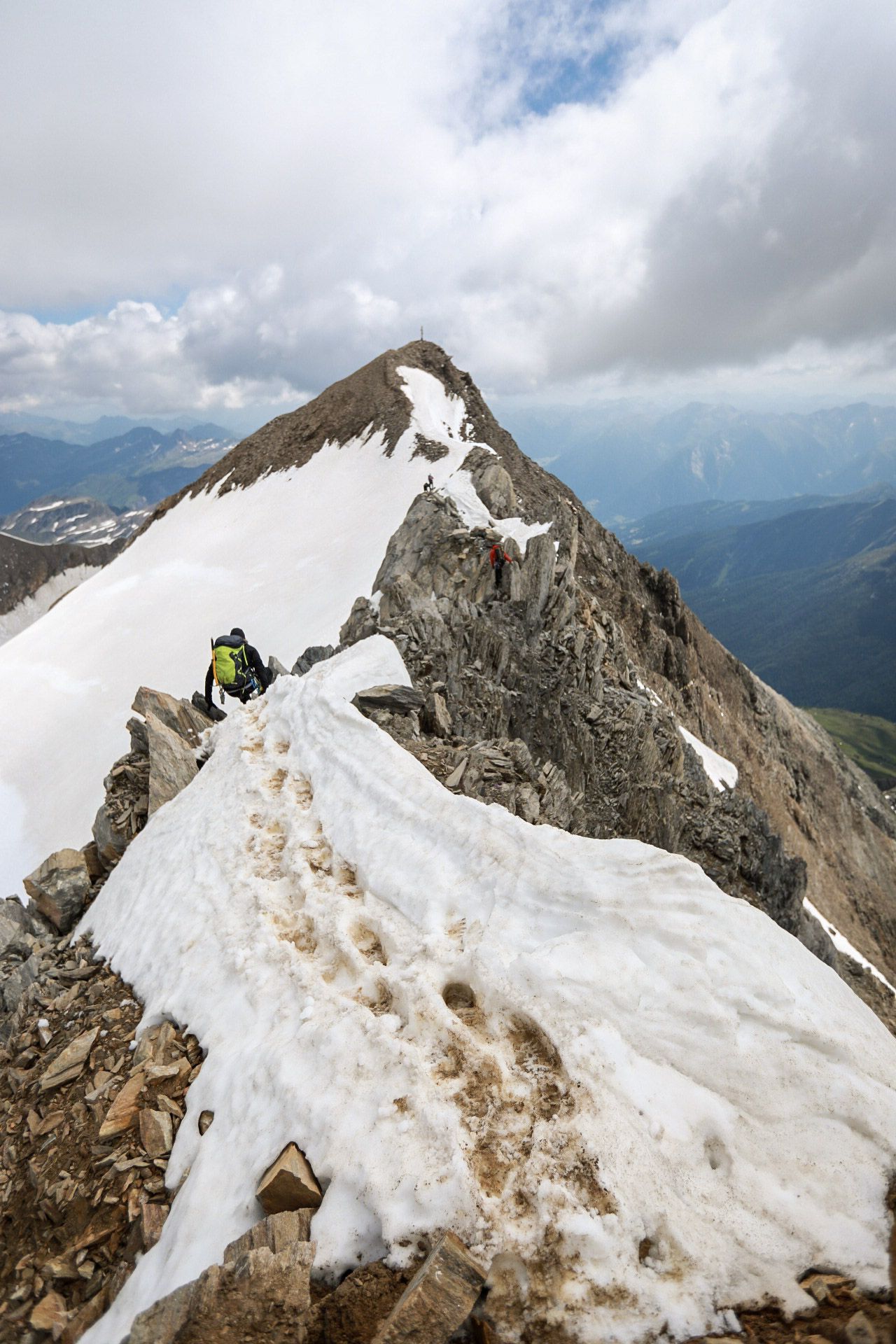
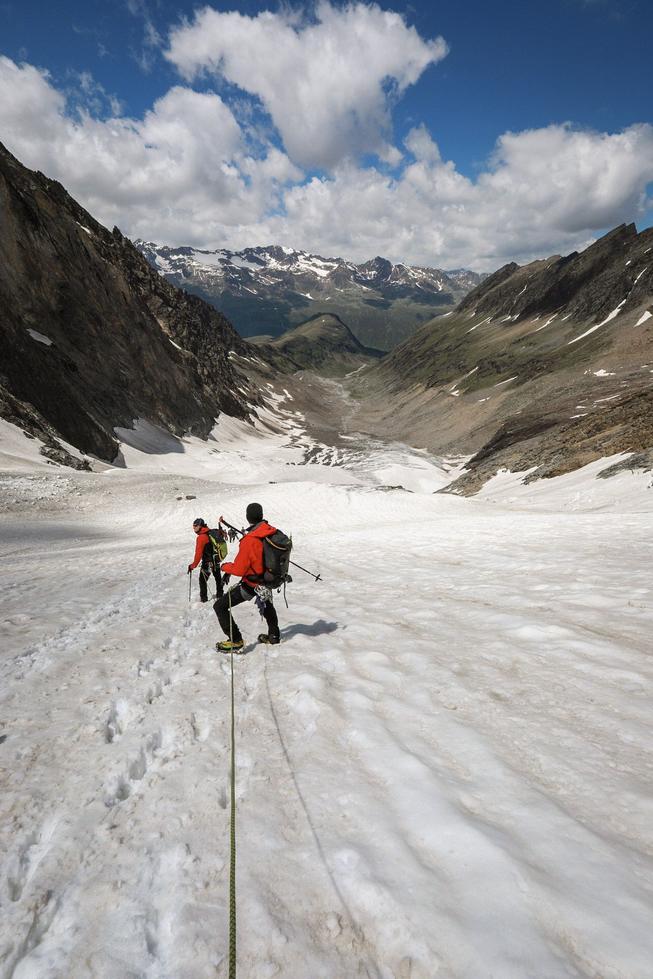
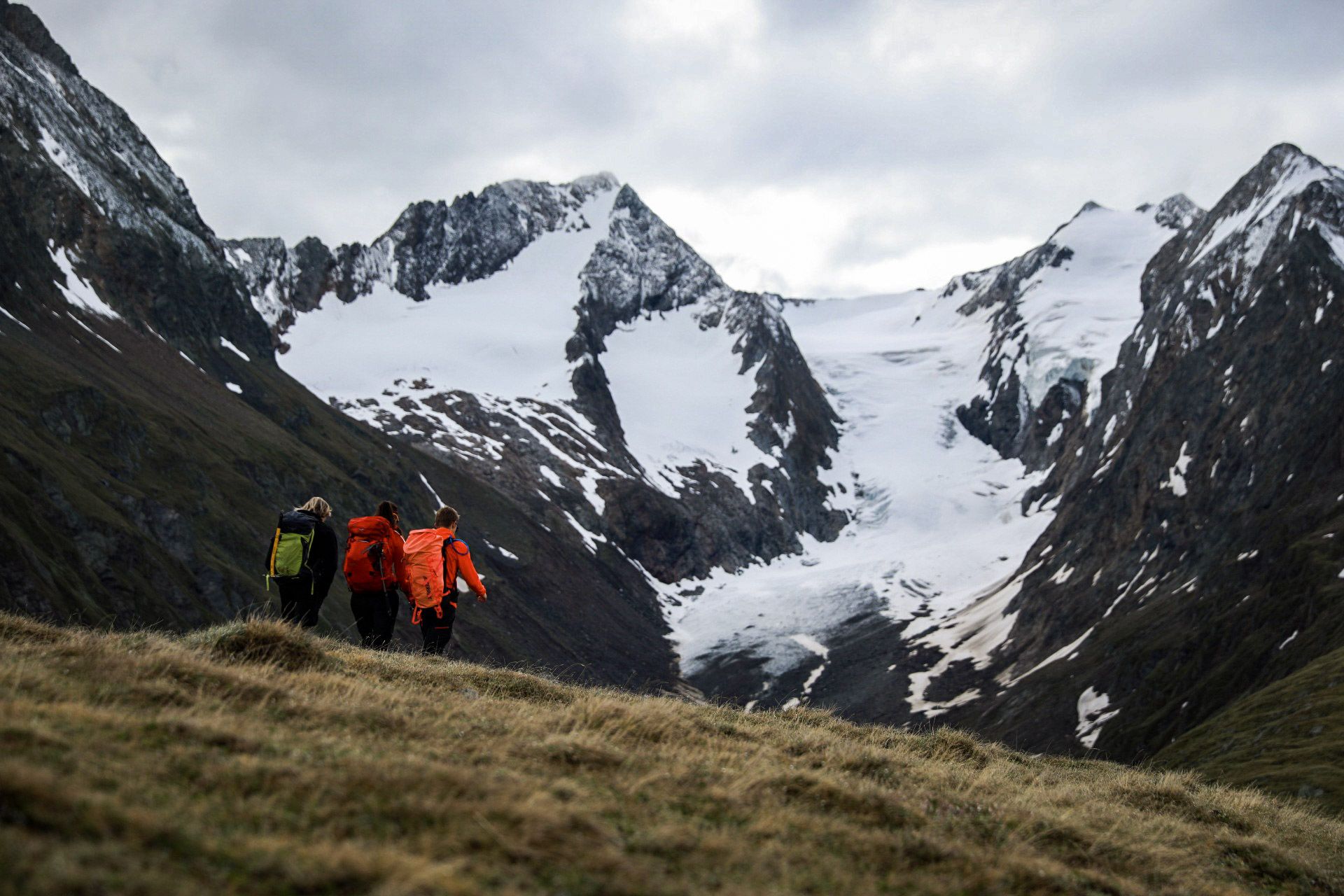
Eine abwechslungsreiche Hochtour, die sich bei etwas Bergerfahrung oder in Begleitung eines erfahrenen Tourenpartners auch wunderbar als Anfänger-Hochtour eignet!
- Difficulty
-
medium
- Rating
-
- Route
-
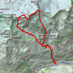
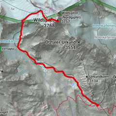
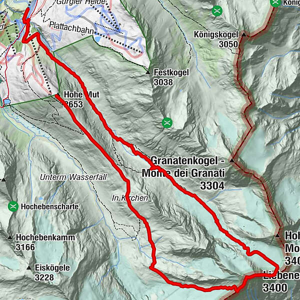
Hohe Mut (2,653 m)0.0 kmLiebener Spitze (3,400 m)6.3 kmNederhütte (nur Winterbetrieb)14.6 km
- Best season
-
JanFebMarAprMayJunJulAugSepOctNovDec
- Highest point
- 3,382 m
- Endpoint
-
Obergurgl
- Height profile
-


-

-
AuthorThe tour Liebenerspitze von Obergurgl aus is used by outdooractive.com provided.
GPS Downloads


General info
A lot of view
Other tours in the regions
-
Meraner Land
89
-
Passeiertal
54
-
Obergurgl - Hochgurgl
47