© Hans-Werner Fuchs

© Hans-Werner Fuchs
© Hans-Werner Fuchs
© Hans-Werner Fuchs
© Hans-Werner Fuchs
© Hans-Werner Fuchs
© Hans-Werner Fuchs
© Hans-Werner Fuchs
© Hans-Werner Fuchs
© Hans-Werner Fuchs
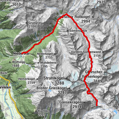
Tour data
2.99km
2,391
- 282m
400hm
372hm
02:36h
- Difficulty
-
medium
- Rating
-
- Route
-
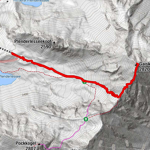
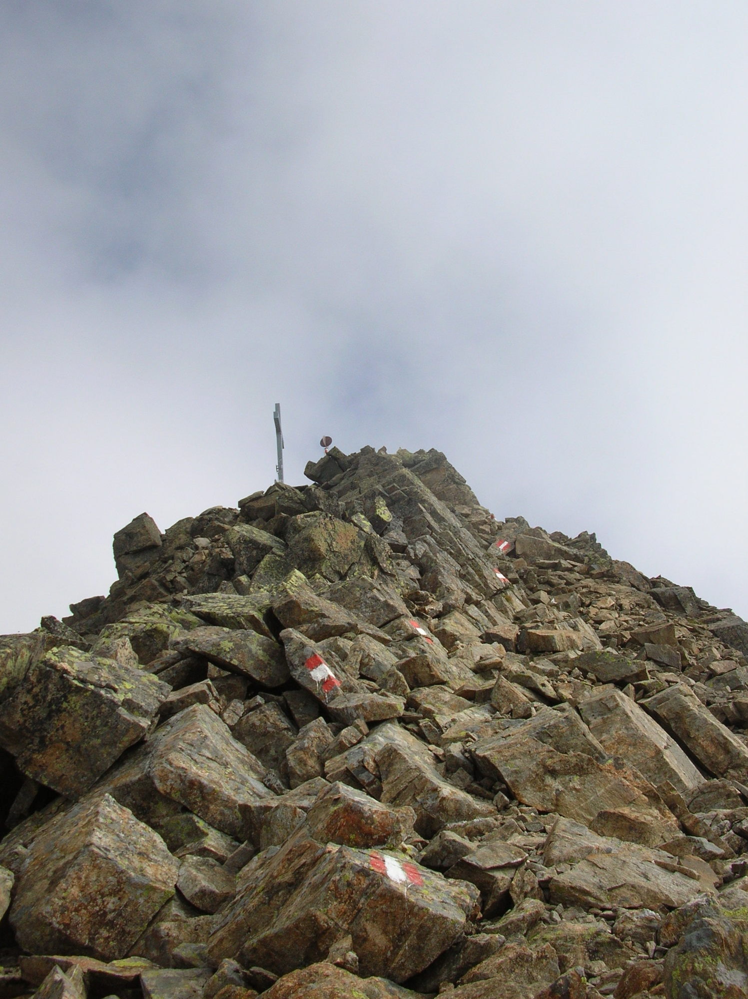
Gaiskogelscharte1.1 kmGaiskogel (2,820 m)1.5 kmDreiSeenBahn (2,420 m)3.0 km
- Best season
-
JanFebMarAprMayJunJulAugSepOctNovDec
- Highest point
- Gaiskogel (282 m)
GPS Downloads


Other tours in the regions