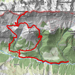
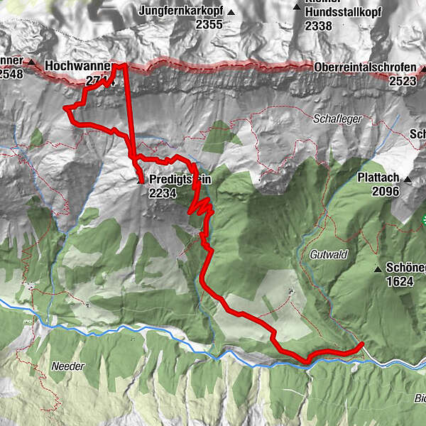
Tour data
10.2km
1,243
- 2,699m
1,527hm
614hm
10:11h
- Brief description
-
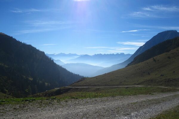
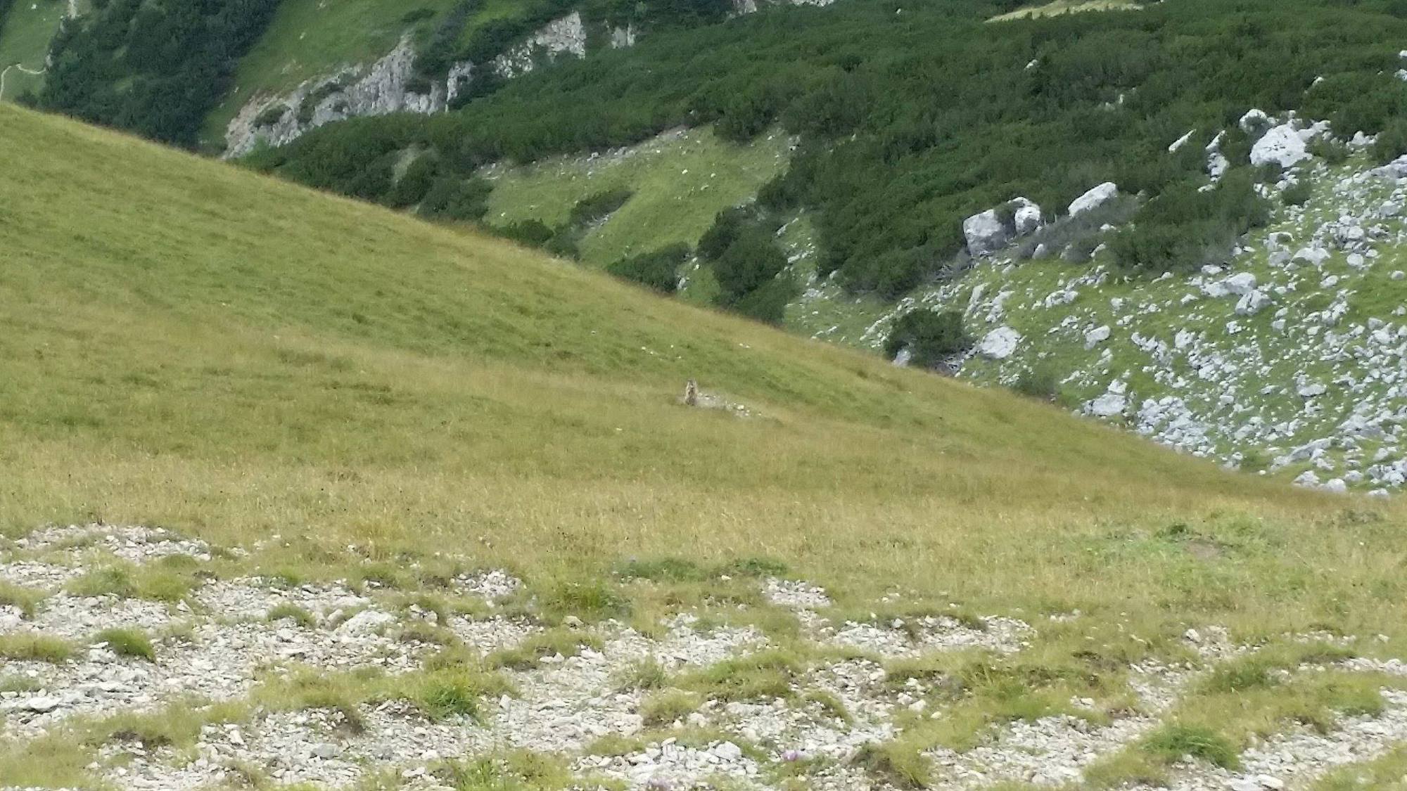
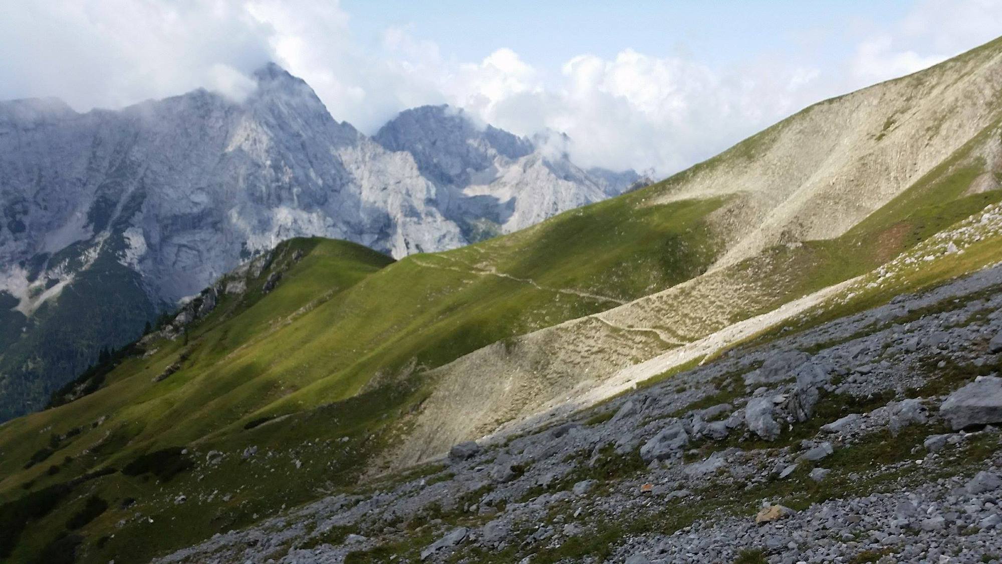
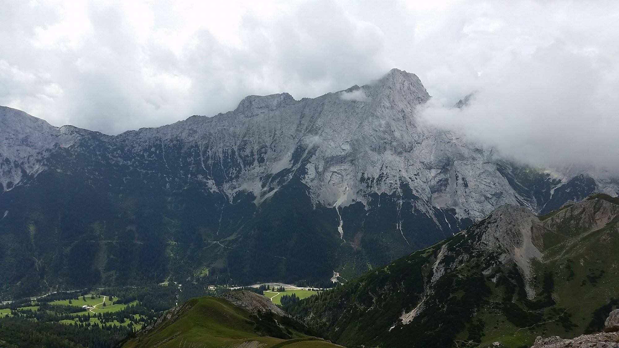
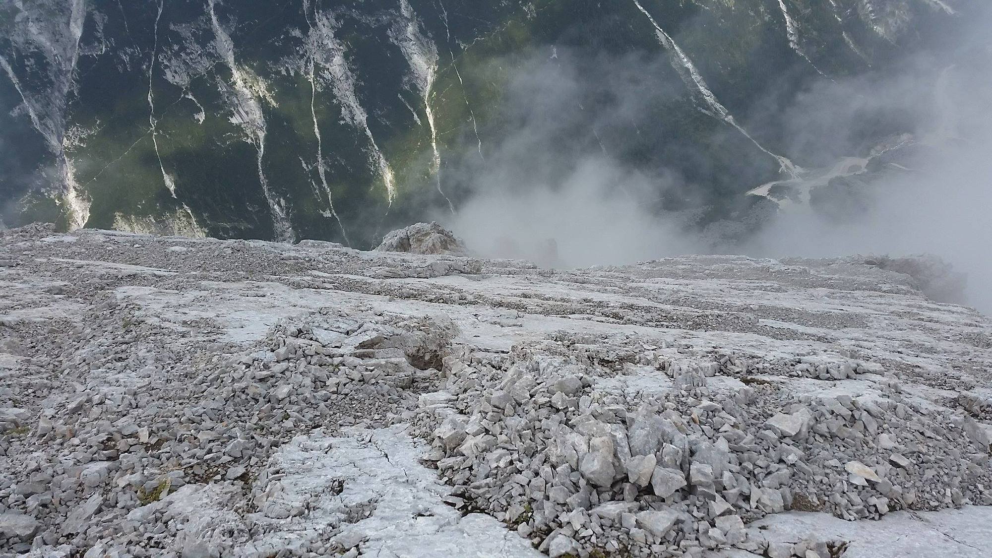
Leutasch-Rotmoosalm-Hochwanner
- Difficulty
-
medium
- Rating
-
- Starting point
-
Parkplatz am Salzbach
- Route
-
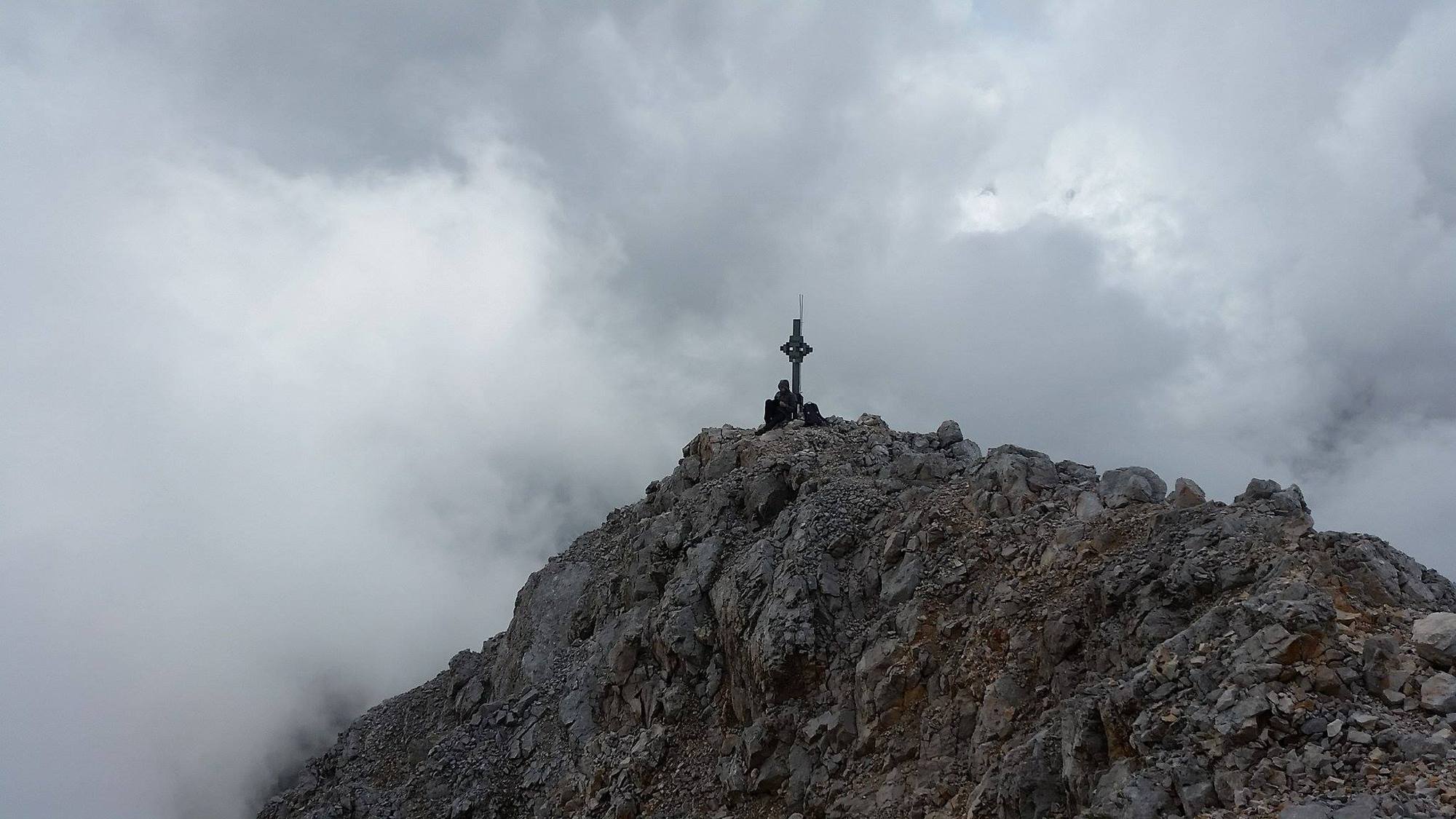
Hochwanner (2,744 m)8.6 kmPredigtstein (2,234 m)10.2 km
- Best season
-
JanFebMarAprMayJunJulAugSepOctNovDec
- Highest point
- 2,699 m
- Endpoint
-
Hochwanner (2744)
GPS Downloads


Other tours in the regions