


- Brief description
-
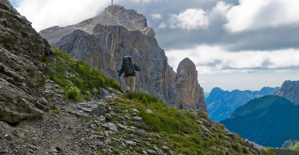
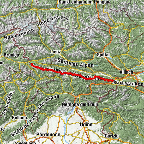
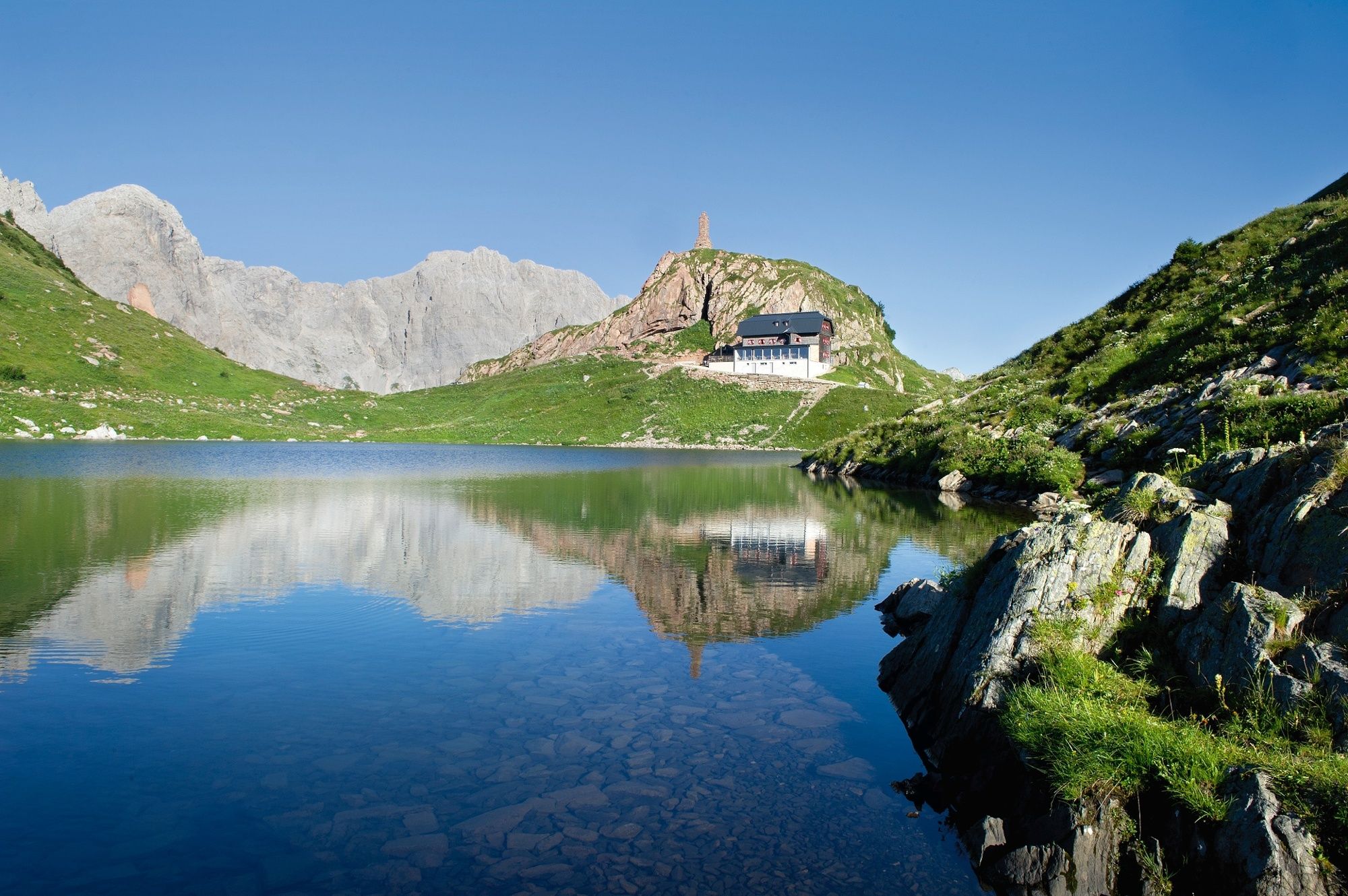
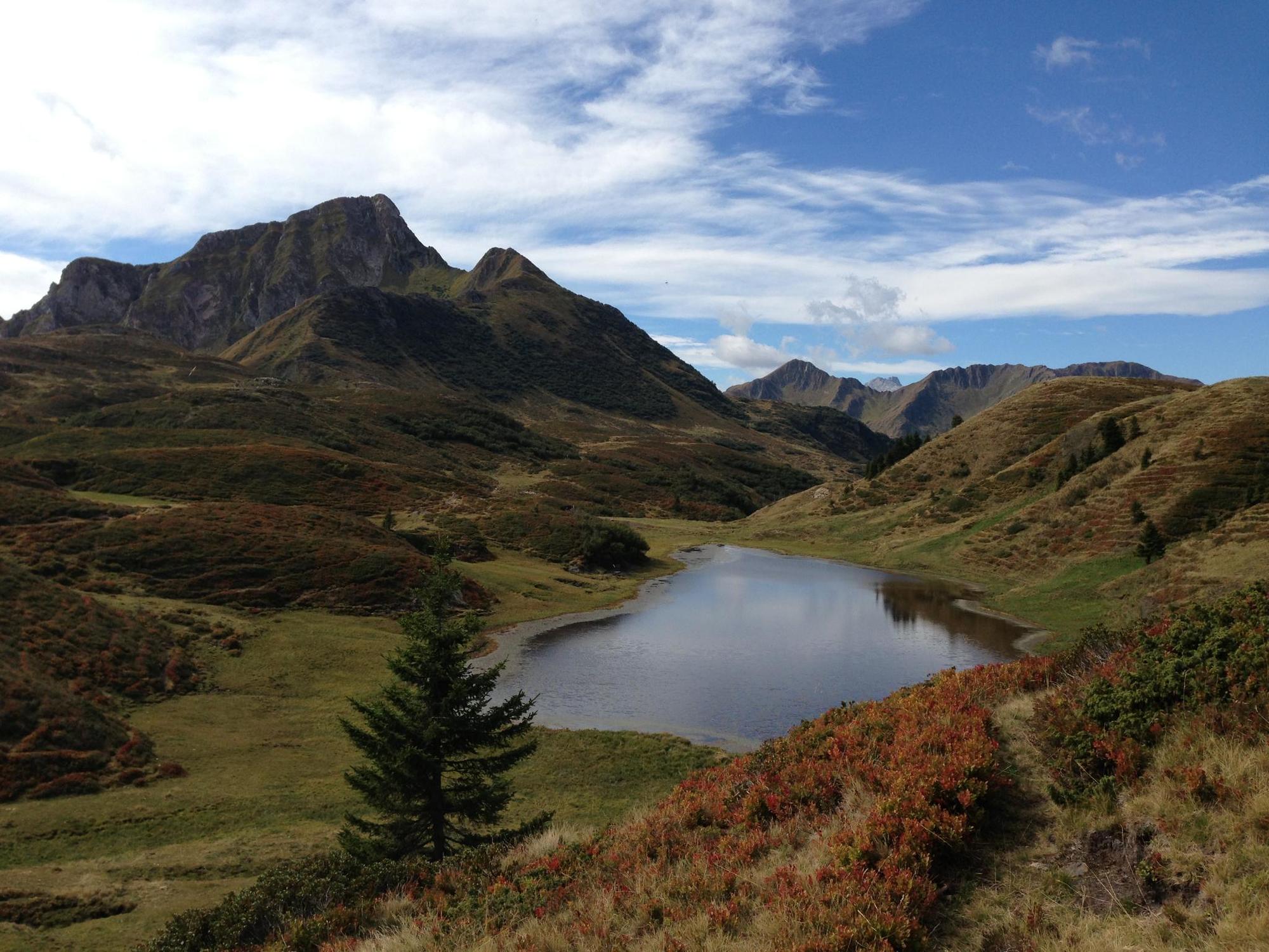
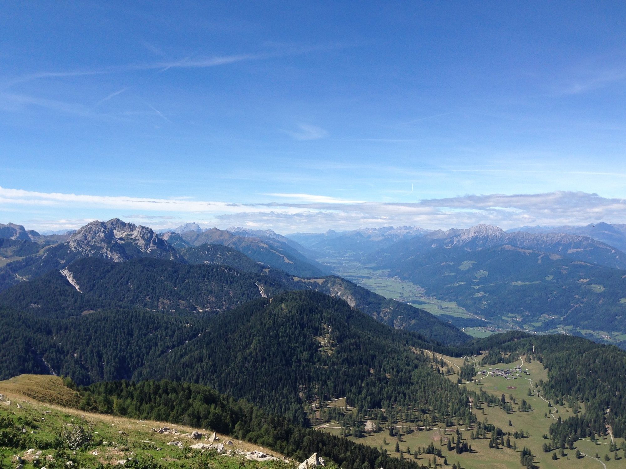
The Karnische Höhenweg or "Friedensweg" leads along the entire Karnische Kamm, which runs along the border between Austria and Italy.
- Difficulty
-
difficult
- Rating
-
- Route
-
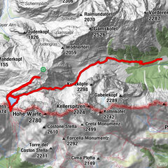
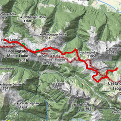
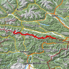
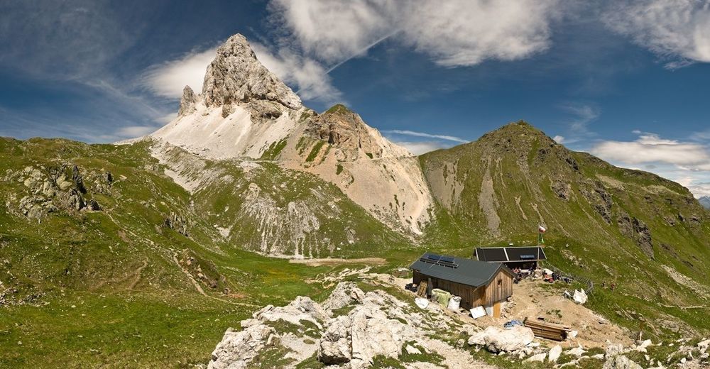
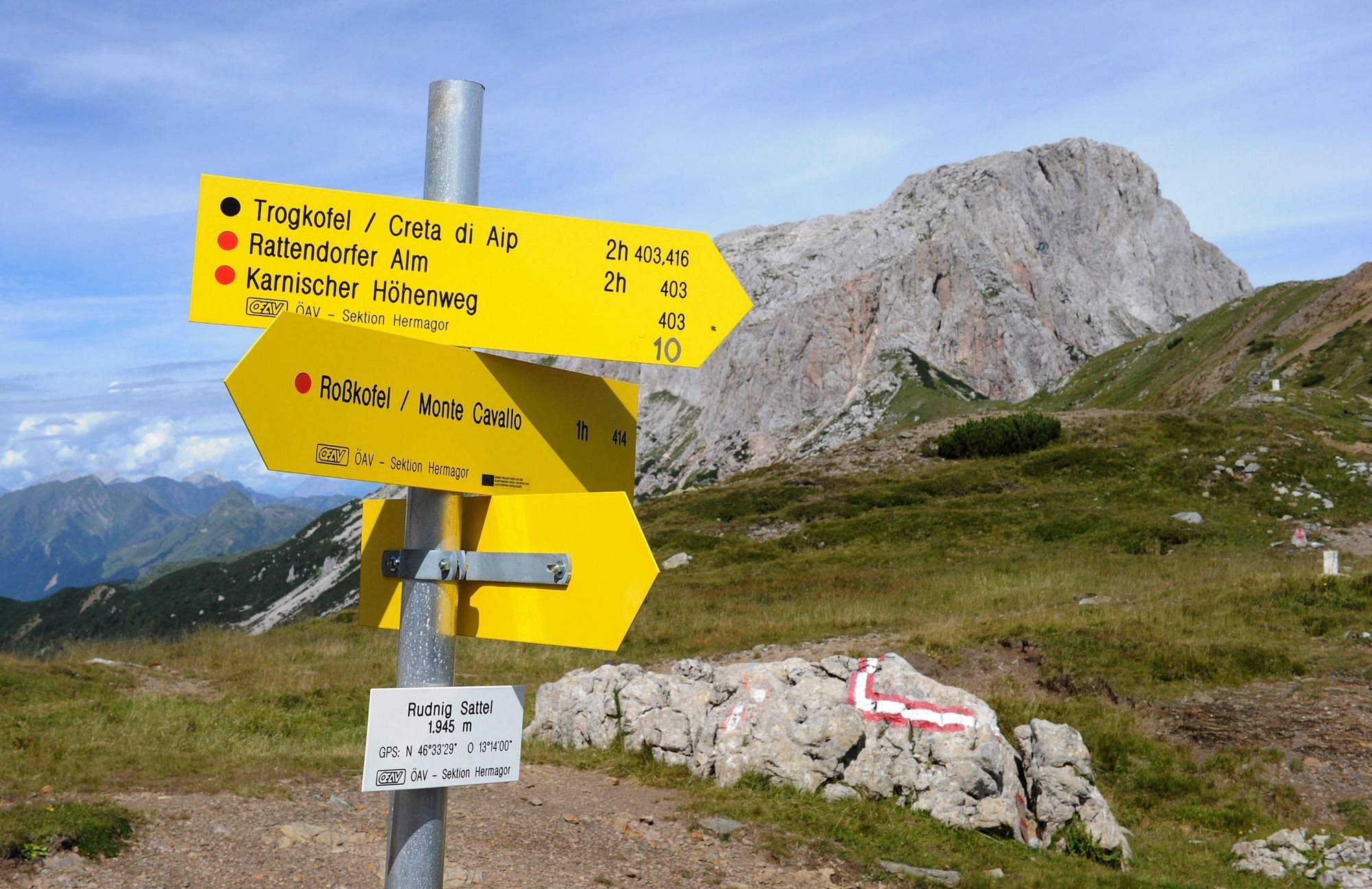
Sillianer Hütte2.5 kmHollbrucker Spitze (2,580 m)4.3 kmDemut (2,592 m)6.6 kmSchöntalhöhe (2,635 m)7.1 kmEisenreich (2,665 m)8.4 kmObstansersee-Hütte10.3 kmPfannspitze (2,678 m)12.6 kmKleine Kinigat (2,675 m)13.9 kmSandiger Boden (2,512 m)14.0 kmKönigswandtürml (2,636 m)14.8 kmFilmoor-Standschützenhütte15.6 kmPorzehütte21.5 kmTilliacher Joch (2,094 m)22.1 kmBärenbadegg (2,431 m)23.6 kmCima Salvades (2,351 m)26.9 kmHochspitzsenke (2,314 m)29.9 kmHochspitz (2,392 m)31.2 kmSteinkarspitz (2,524 m)32.4 kmCima Ciandazei (2,462 m)33.5 kmHochweißsteinhaus37.8 kmCasera Sissanis di Sotto42.2 kmCasera Sissanis di sopra42.4 kmSella Sissanis (1,987 m)43.8 kmGiramondopass (2,005 m)46.0 kmBimbaumer Törl (2,080 m)50.9 kmWolayerseehütte50.9 kmAlmgasthof Valentinalm (1,220 m)56.4 kmTheresienhöhe57.9 kmPlöcken59.0 kmGasthof Plöckenhaus59.2 kmKöderkopf (2,167 m)66.6 kmZollnersee Hütte73.9 kmLodintörl (1,871 m)76.9 kmHöhenlager Straniger Alm (1915-1917)79.0 kmStraniger Alm79.9 kmRudnik-Sattel90.8 kmSchwefelquelle95.7 kmPlattner96.6 kmGarnitzenalm (1,640 m)99.2 kmEgger Alm107.7 kmRudi`s Skihütte107.7 kmAlmgasthaus "Zur Alten Käserei"107.7 kmDolinza Alm (1,499 m)119.5 kmWirtshaus Starhand119.6 kmFeistritzer Alm121.4 kmFeistritzer Alm121.8 kmAlmkapelle Maria Schnee122.3 kmGöriacher Alm (1,644 m)132.6 kmKapin (1,530 m)133.7 kmHabichtquelle135.4 kmPessendellach138.7 kmOberthörl138.9 kmGasthof Neuwirth139.0 kmUnterthörl139.1 km
- Best season
-
JanFebMarAprMayJunJulAugSepOctNovDec
- Description
-
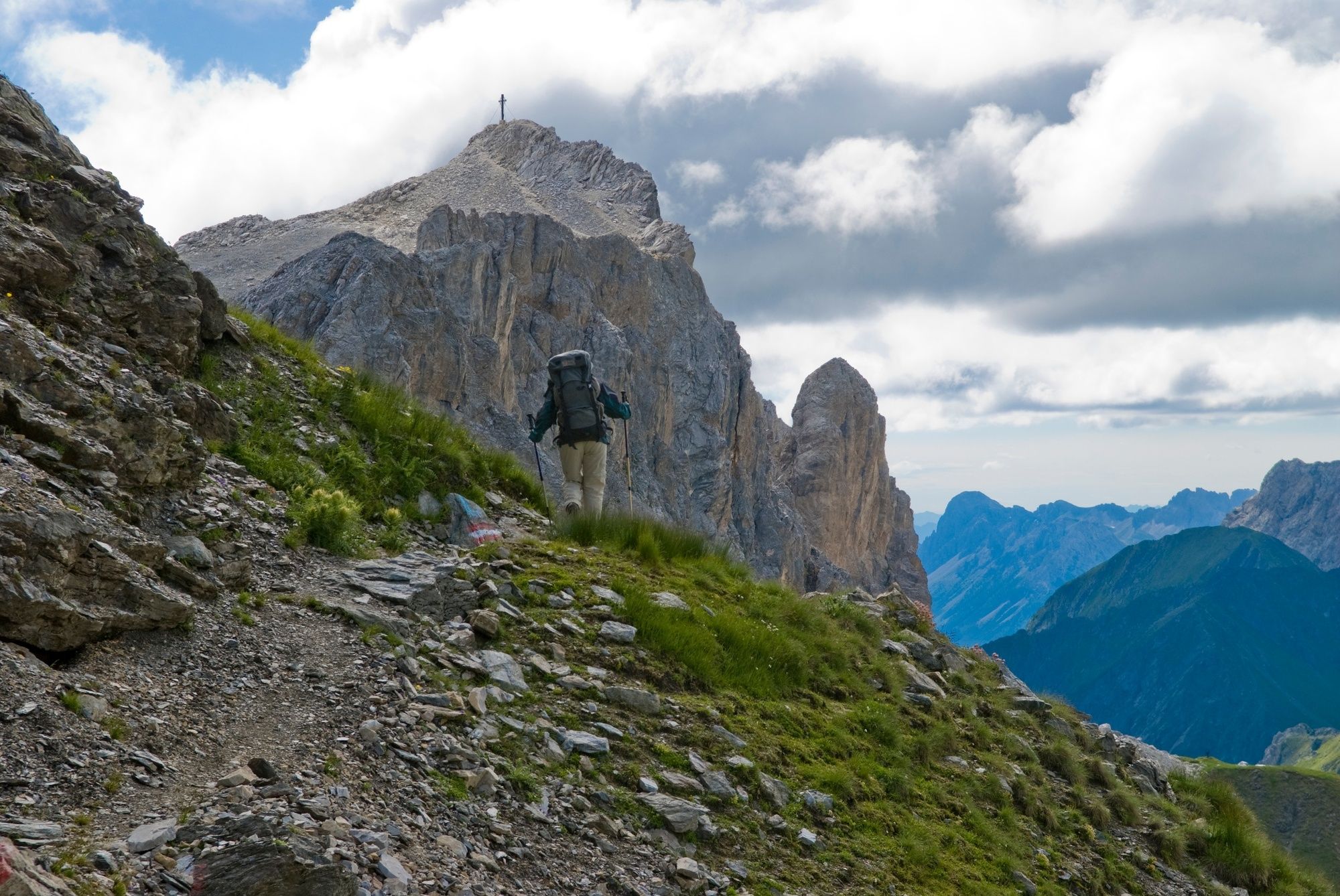
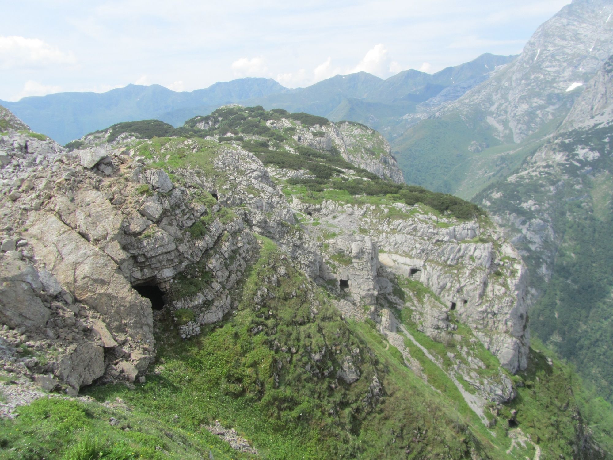
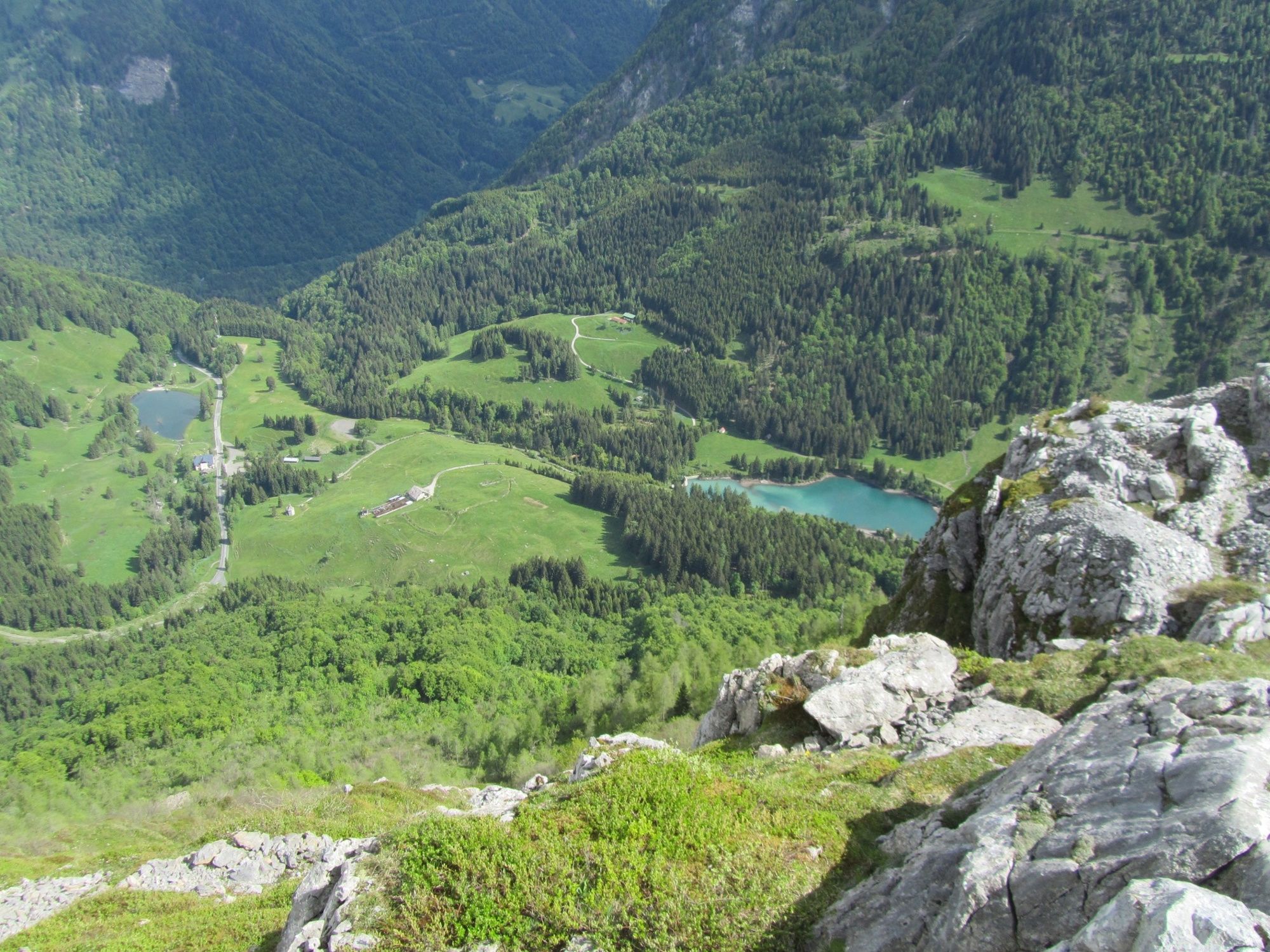
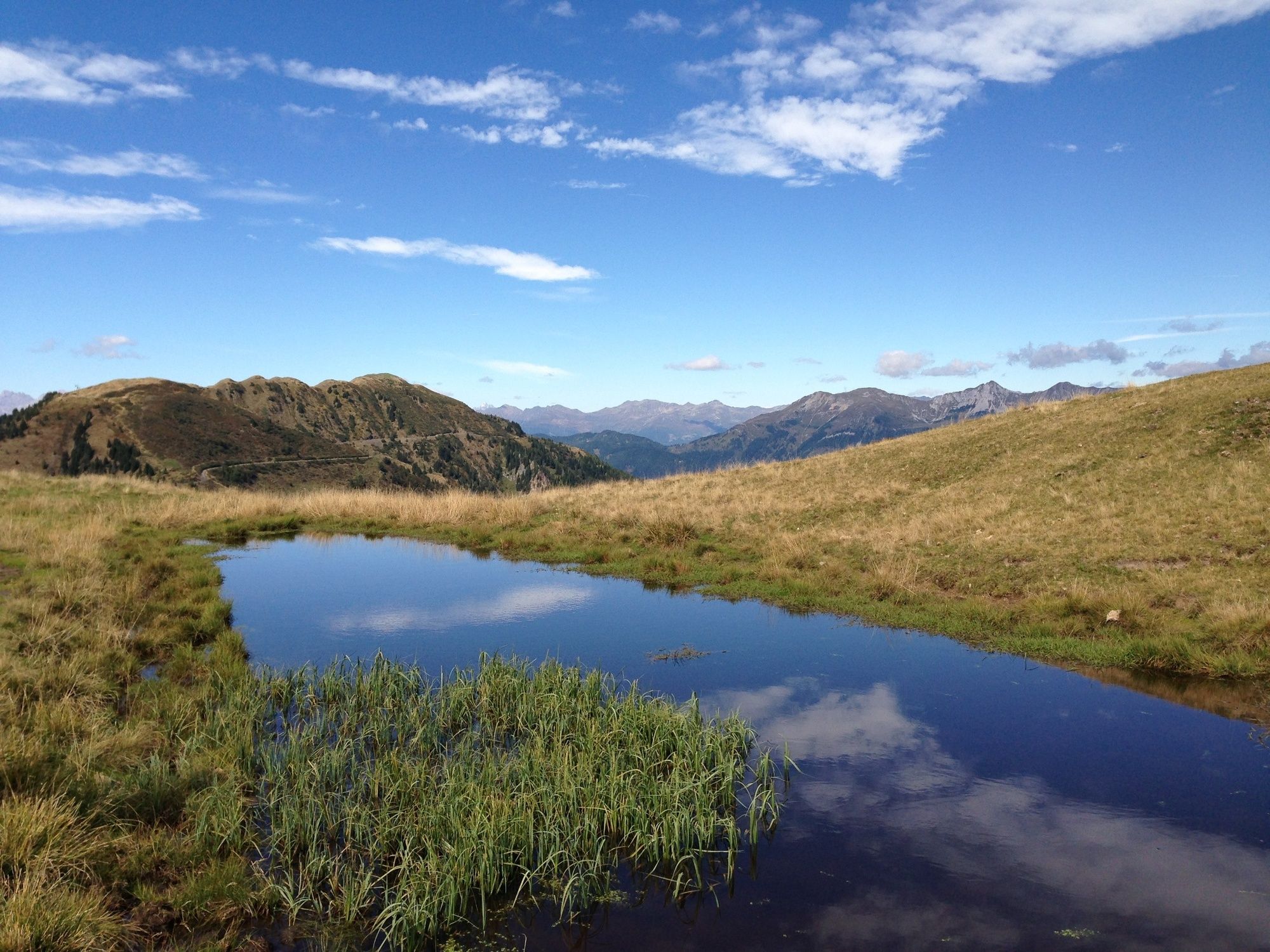
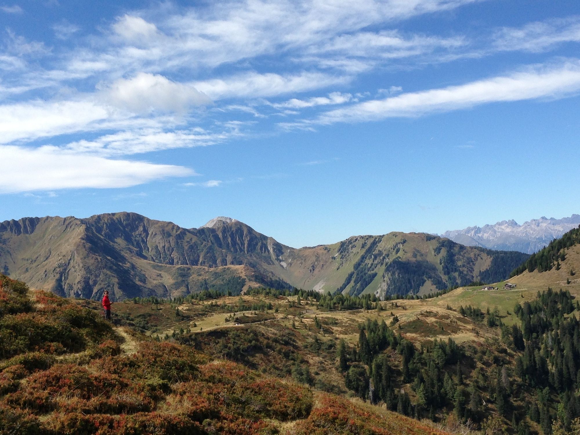
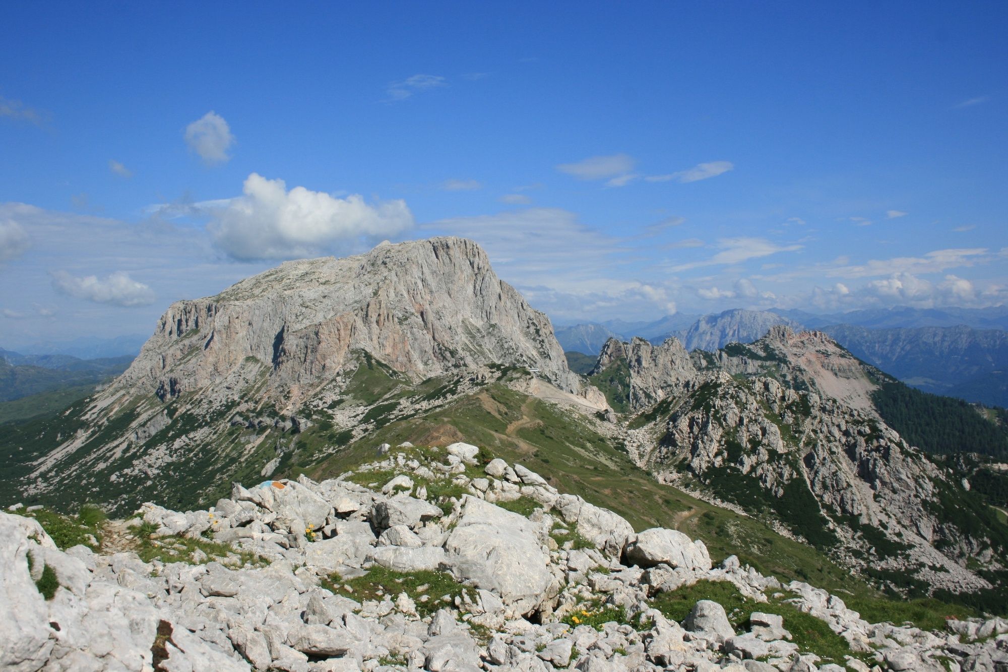
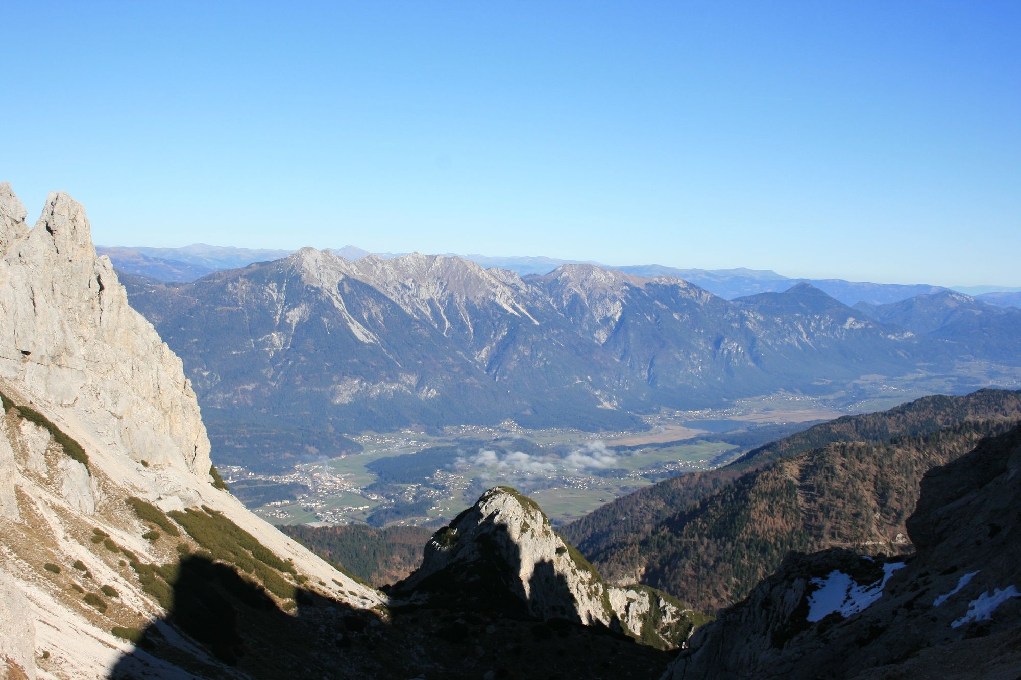
The somewhat longer section east of the Plöckenpass offers a gentle mountain landscape with extensive alpine meadows and easy hiking mountains. West of the Plöckenpass, the more interesting alpine section stretches along the highest peaks of the Carnic Ridge. The alpine long-distance hiking trail leads through a scenically extremely beautiful and varied area.
- Directions
-
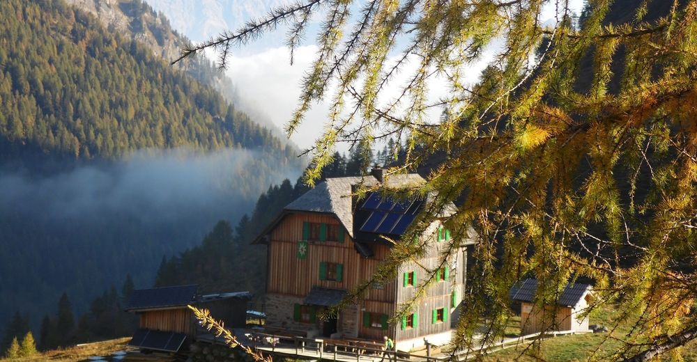
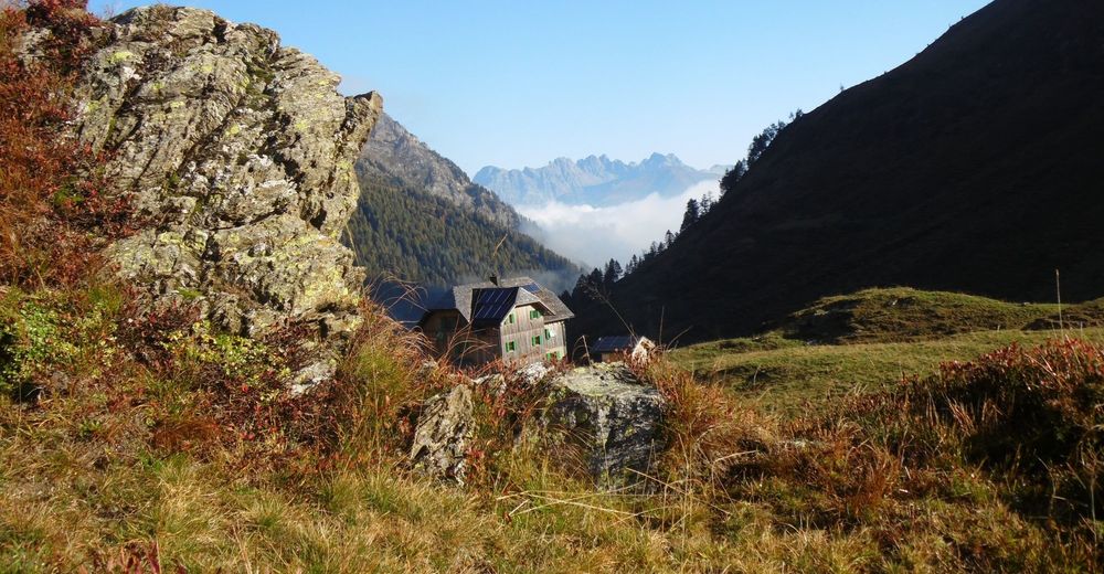
The Karnische Höhenweg, for example, can also be divided into 8-11 daily stages; a descent into the valley is possible (almost) at any time. There are plenty of possibilities to stay overnight in managed huts.
Proposal for the daily stages:
1st day: Leckfeldalm - Sillianer hut - Obstansersee hut
2nd day: Obstansersee hut - Filmoor hut - Porzehütte
3rd day: Porzehütte - high white stone house
4th day: High white stone house - Wolayerseehütte
5th day: Wolayerseehütte - Zollnerseehütte
6th day: Zollnerseehütte - Nassfeld (Alpenhof Plattner)
7th day: Nassfeld (Alpenhof Plattner) - Dolinza Alm (Gasthaus Starhand)
8th day: Dolinza Alm (Gasthaus Starhand) - Thörl near Arnoldstein
Of course the Karnische Höhenweg can also be walked in the opposite direction, with the gentler part at the beginning and the high alpine part at the end.
- Highest point
- 2,675 m
- Endpoint
-
Thörl-Maglern
- Height profile
-

- Equipment
-
Checklist:
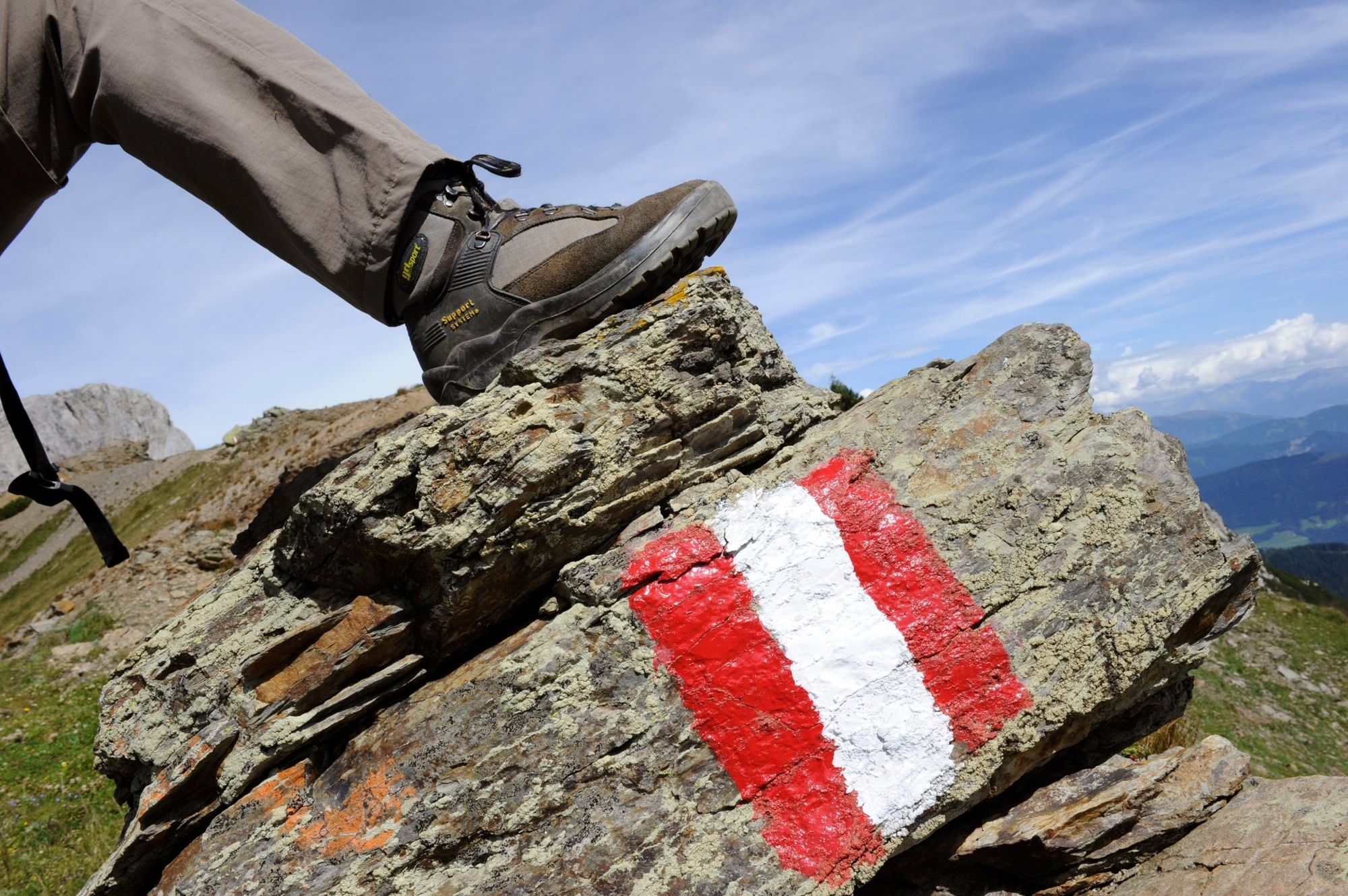
Sturdy footwear (hiking boots or mountain boots)
(Hiking) Clothing for all weather conditions: rain protection, hats, gloves, ... (according to the season)
First aid kit
Money
Cell phone or radio
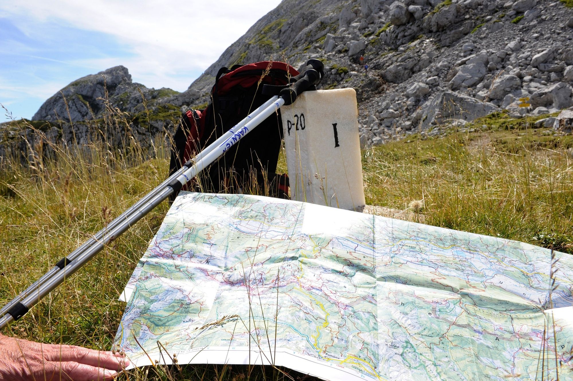
Hiking maps
Backpack
Sun protection and sunglasses
Flashlight or headlamp
Catering (drinks, water bottles and possibly food)
Toiletries
ev. hiking poles
... - Tips
-
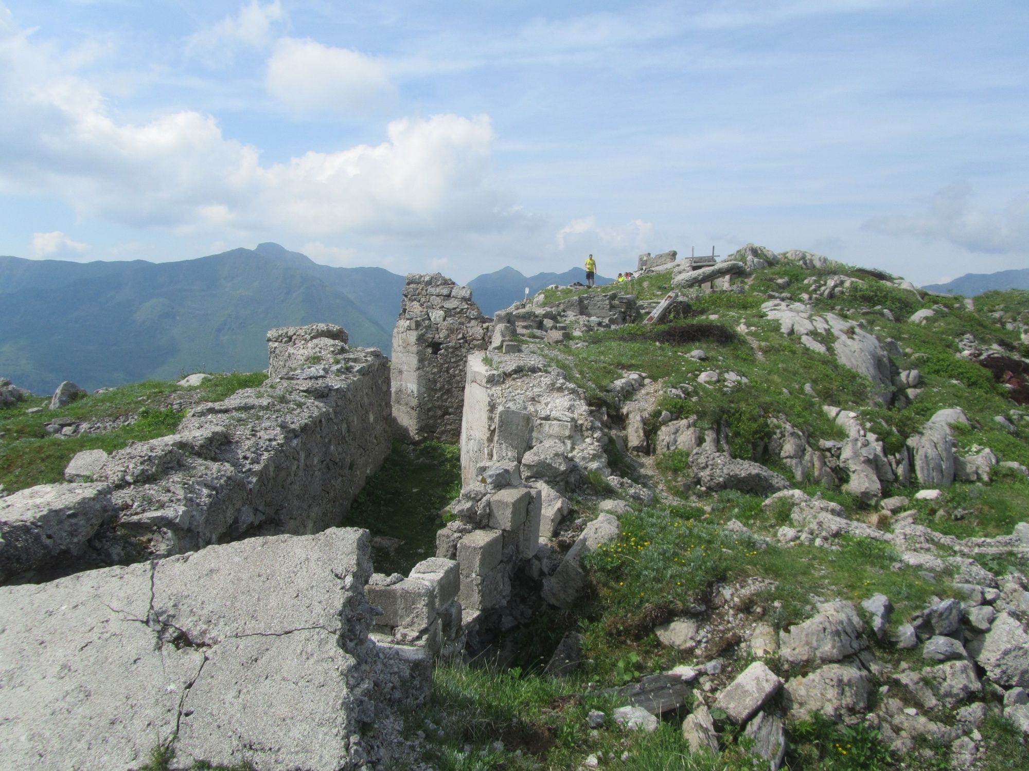
In addition to the conventional course of the Carnic High Trail, challenging summit ascents such as Gr. Kinigat, Filmoorhöhe, Porze, Monte Peralba, Hohe Warte and others can be included (partly on fixed rope routes). We recommend a 2-3 day extension - with additional overnight stays at the Filmoorhütte or the Untere Valentin Alm.
- Additional information
- Directions
-
The approach depends on the planned starting point of the Karnischer Höhenweg. See the individual stages.
- Public transportation
- Parking
-
The parking possibility depends on the planned starting point of the Karnische Höhenweg. See the individual stages.


- Author
-
The tour Karnischer Höhenweg is used by outdooractive.com provided.