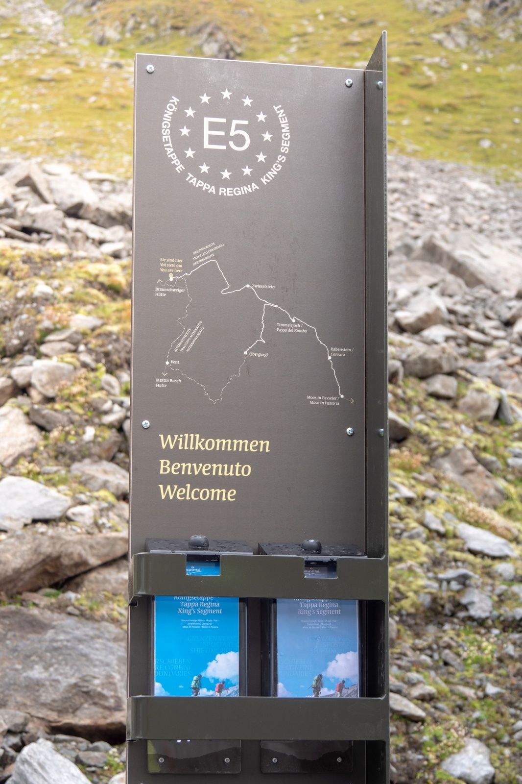
European E5 long-distance hiking trail – King's Segment – Braunschweiger Hut to Vent (alternative route)

long-distance walking trail

- Difficulty
-
medium
- Rating
-
- Route
-
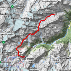
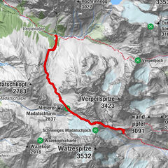
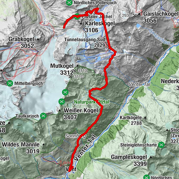
MarienkapelleTunnelausgang Süd (2,829 m)5.9 kmVent16.6 km
- Best season
-
JanFebMarAprMayJunJulAugSepOctNovDec
- Description
-
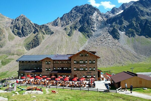
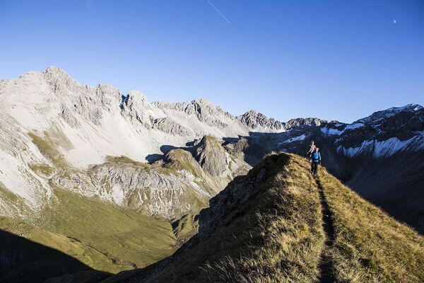
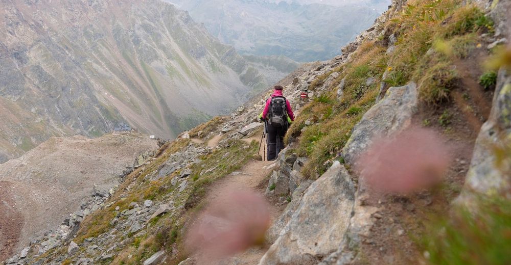
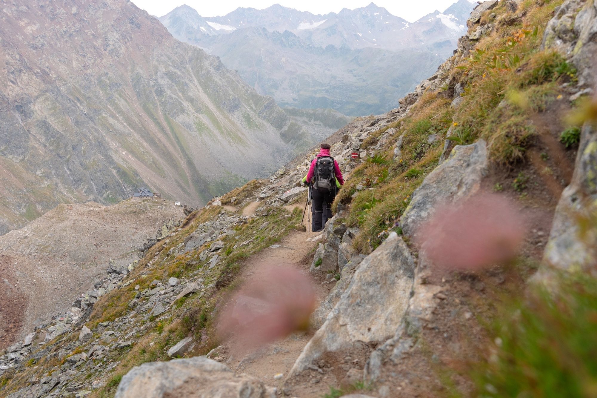
This particularly challenging segment of the trail starts at the Braunschweiger Hut (2,758 m) with a rather steep and difficult ascent to the Pitztaler Jöchl saddle (3,000 m), the highest point of this E5 segment. Once you reach the saddle, you will be rewarded with spectacular views of the Braunschweiger Hut, the Wildspitze mountain, the Rettenbachtal valley and the Riffelsee lake. You may encounter large snowfields in spring and early summer. There is an alternative shorter route via the Rettenbachjoch saddle. Both ways lead to the Rettenbachferner glacier, where a bus will take you through the Rosi Mittermaier tunnel to the Tiefenbachferner glacier. From there, the Vent Panoramic Trail slopes past cattle herds, the Weißkarsee lake and beautiful meadows down along the magnificent Ventertal valley before reaching the famous mountaineering village of Vent (1,890 m) with its quaint restaurants and inns.
- Highest point
- 2,985 m
- Height profile
-

- Directions
- Public transportation
- Author
-
The tour European E5 long-distance hiking trail – King's Segment – Braunschweiger Hut to Vent (alternative route) is used by outdooractive.com provided.
GPS Downloads


Other tours in the regions
-
Meraner Land
1736
-
Ötztal
1111
-
Pitztaler Gletscher - Bergbahnen Rifflsee
286