- Brief description
-
The splendid long-distance Ötztal Trek allows hikers and mountaineers to experience Ötztal's highest regions and pristine natural beauty!
- Route
-
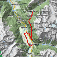
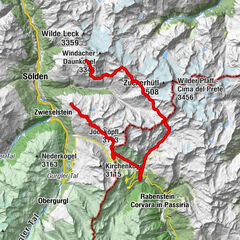
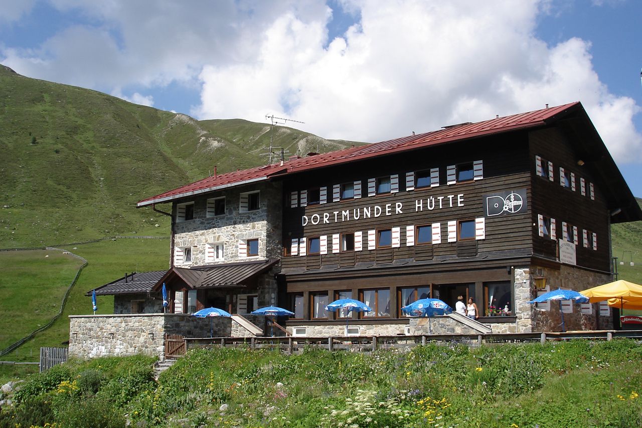
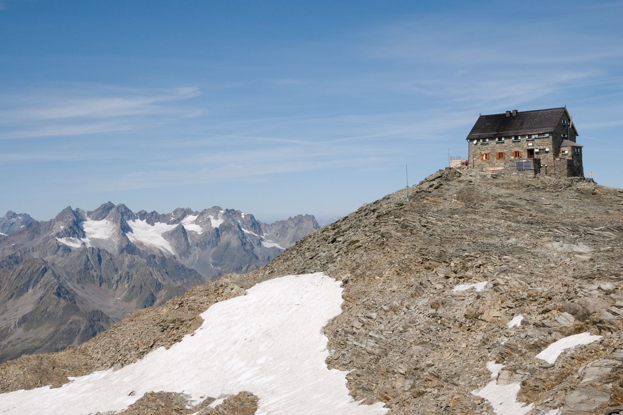
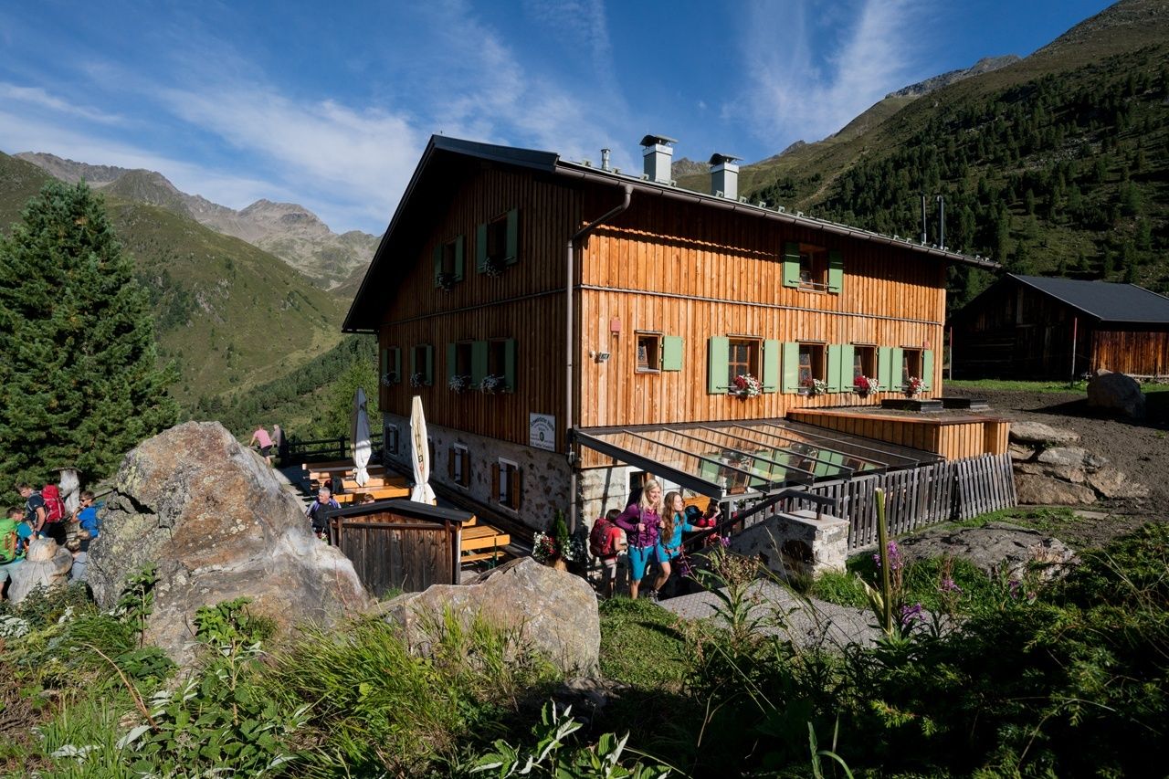
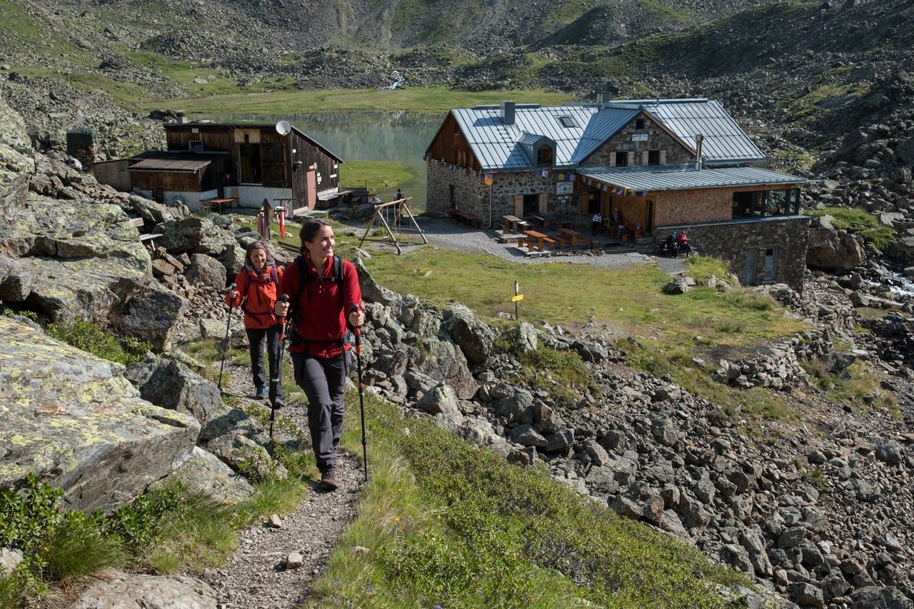
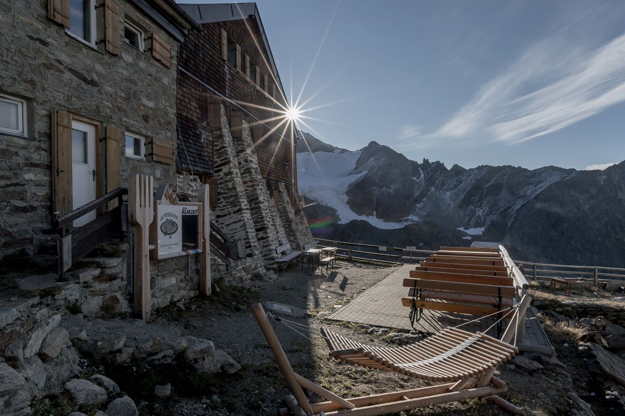
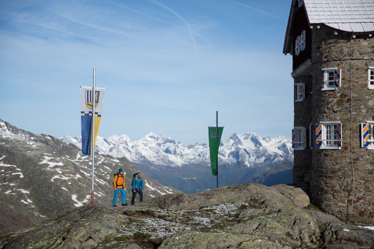
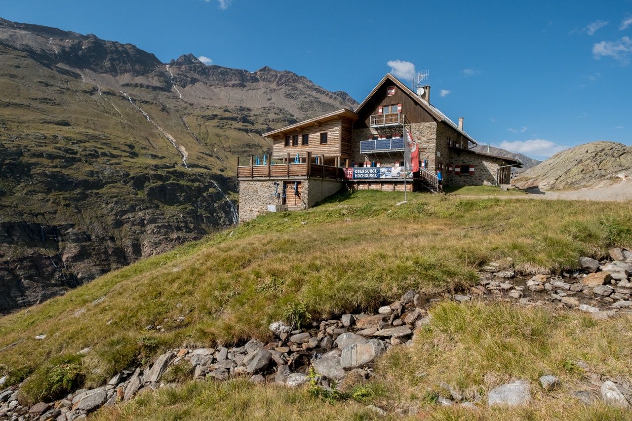
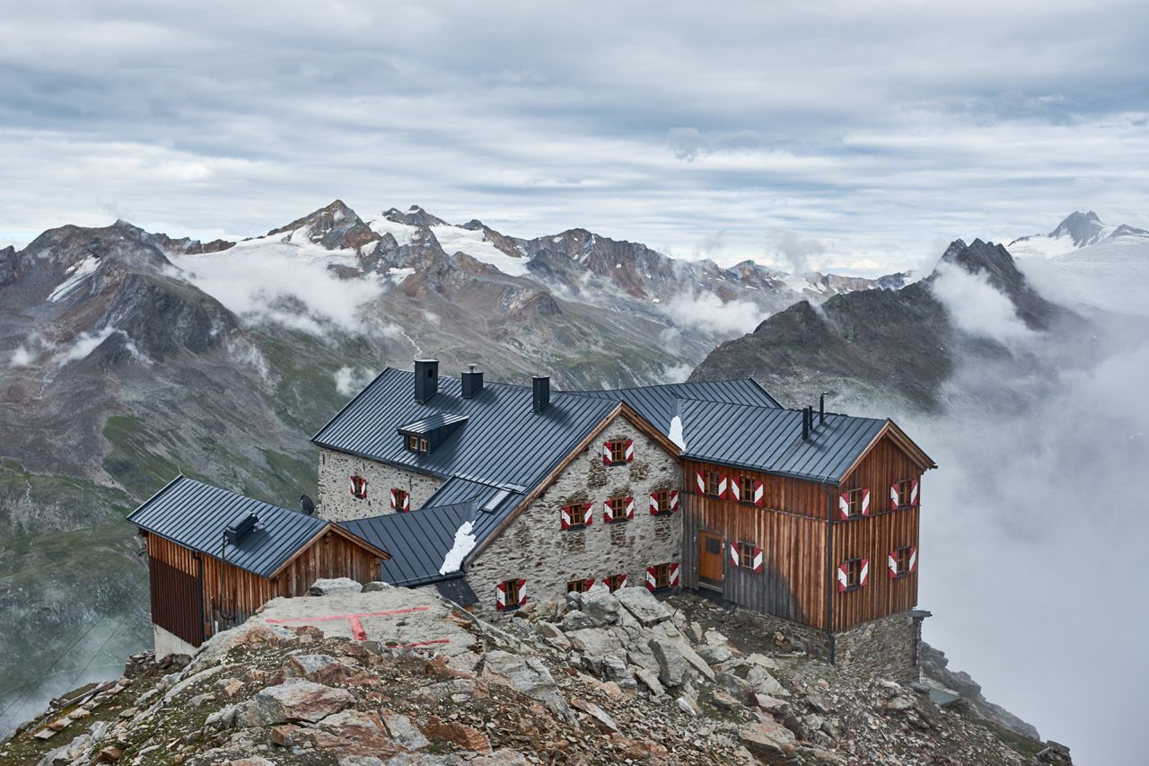
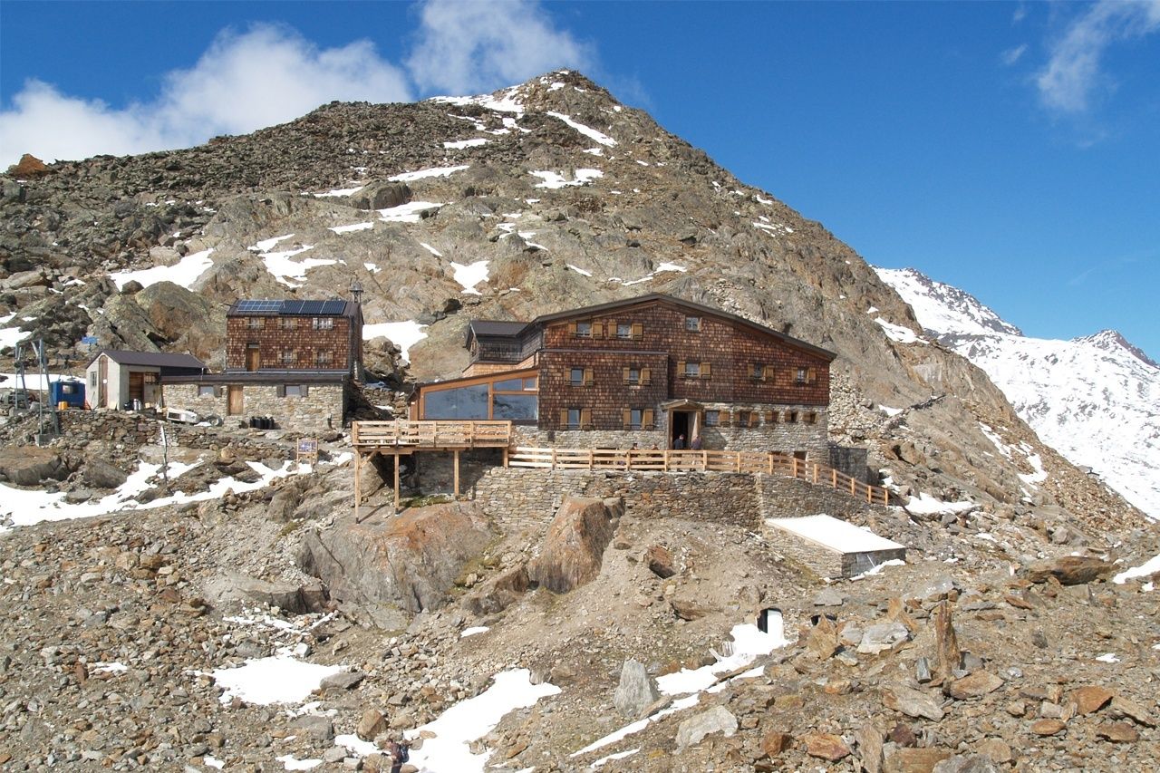
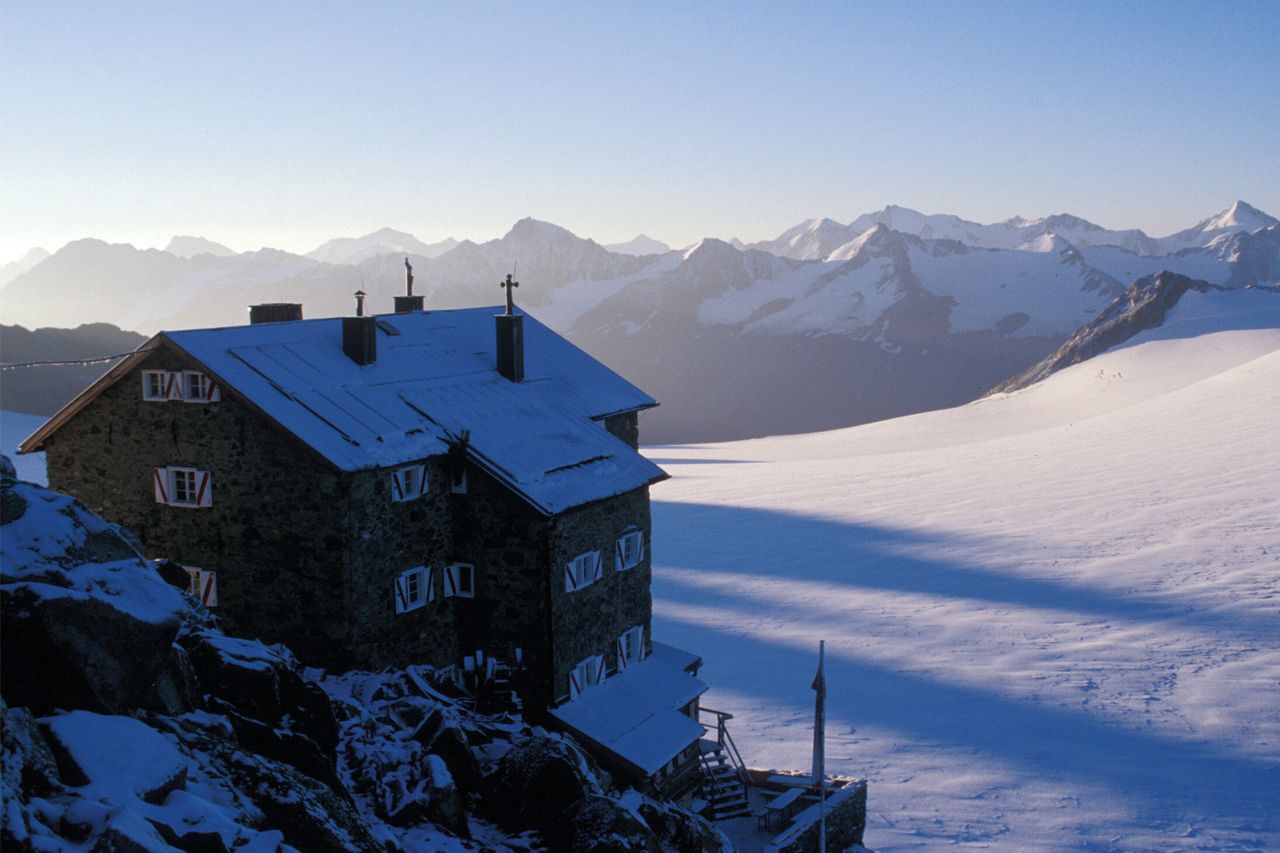
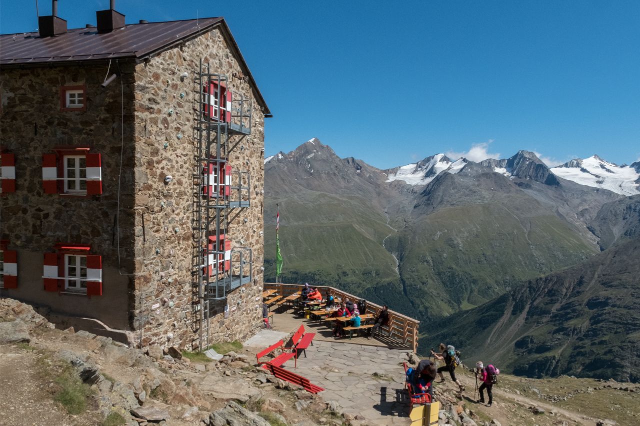
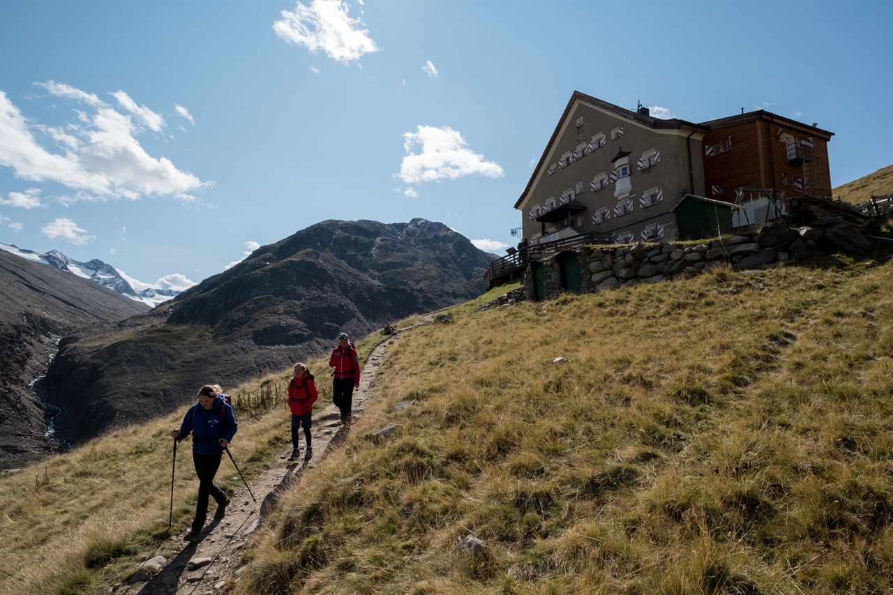
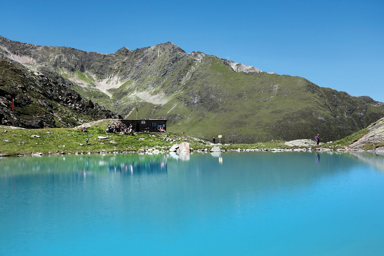
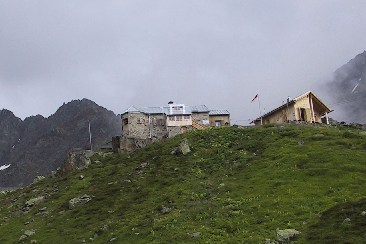
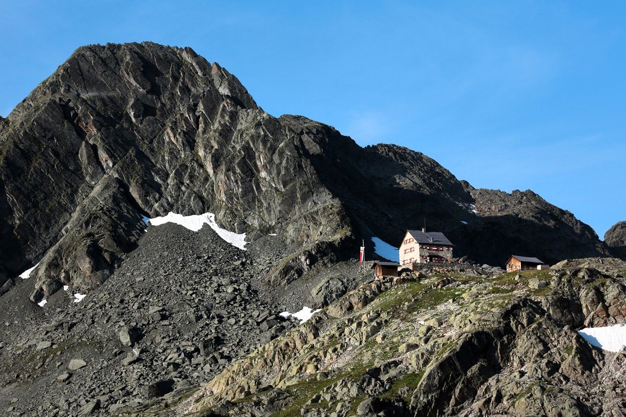
Ötztal-BahnhofÖtztal (692 m)Larchet2.6 kmGrün3.9 kmOchsengarten (1,538 m)11.1 kmKaiserBahn18.0 kmDortmunder Hütte18.2 kmGraf Ferdinand Haus20.7 kmFinstertaler Scharte (2,777 m)25.9 kmSchweinfurter Hütte29.1 kmZwieselbacher Sennhütte29.6 kmWinnebachseehütte39.6 kmPension Winnebach43.1 kmSulztalalm (1,915 m)47.2 kmAmberger Hütte (2,135 m)49.5 kmWildkarspitze (3,173 m)57.5 kmHochstubaihütte57.5 kmFräulaskofel (2,795 m)62.1 kmJochdohle63.5 kmHildesheimer Hütte65.2 kmGamsplatzl (3,019 m)67.4 kmSiegerlandhütte70.5 kmTimmelsalm (2,000 m)76.8 kmAlbergo Hochfirst79.8 kmRasthaus Timmelsjoch84.7 kmWilde Rötespitze (2,966 m)90.9 kmRotkogel (2,894 m)91.9 kmVorderer Brunnenkogel (2,775 m)92.6 kmBrunnenkogelhaus92.9 kmWindachalm97.5 kmHubertuskapelle97.9 kmLochle Alm98.8 kmMariä Heimsuchung103.1 kmSölden (1,368 m)103.2 kmPlatte104.9 kmWildmoos105.2 kmGasthof Zwieselstein106.9 kmZwieselstein (1,470 m)107.2 kmMaria-Hilf-Kapelle107.5 kmPill (556 m)112.6 kmUntergurgl113.3 kmBelmonte115.8 kmHl. Johannes Nepomuk116.2 kmObergurgl (1,907 m)116.3 kmSchönwieshütte119.8 kmLangtalereckhütte (2,430 m)123.2 kmMartin-Busch-Hütte139.7 kmNiederjoch (3,012 m)144.7 kmSimilaunhütte144.7 kmgrotta146.1 kmHochjoch-Hospiz153.2 kmVernagthütte158.4 kmOberes Guslarjoch (3,316 m)161.9 kmFluchtkogel (3,494 m)162.5 kmVernagthütte166.5 kmBreslauer Hütte173.6 kmKarleskogl (3,223 m)188.9 kmSchwarze Schneid Mittelstation190.1 kmRettenbachjoch (2,990 m)190.2 kmMarienkapelle191.8 kmBraunschweiger Hütte191.8 kmGschrappkogel (3,194 m)195.6 kmWassertalkogel (3,247 m)196.3 kmRüsselsheimer Hütte201.5 kmHauerseehütte212.8 kmFrischmannhütte219.2 kmFundusfeiler (3,079 m)221.8 kmFeilerscharte (2,928 m)222.2 kmErlanger Hütte (2,550 m)228.8 kmMutzeiger (2,277 m)235.5 kmMaisalm238.0 kmWirtsboden241.5 kmLourdeskapelle246.0 kmMairhof246.0 kmRoppen (724 m)246.1 kmLöckpuit246.3 kmÖtztal-Bahnhof250.6 kmÖtztal (692 m)250.9 km
- Best season
-
JanFebMarAprMayJunJulAugSepOctNovDec
- Description
-
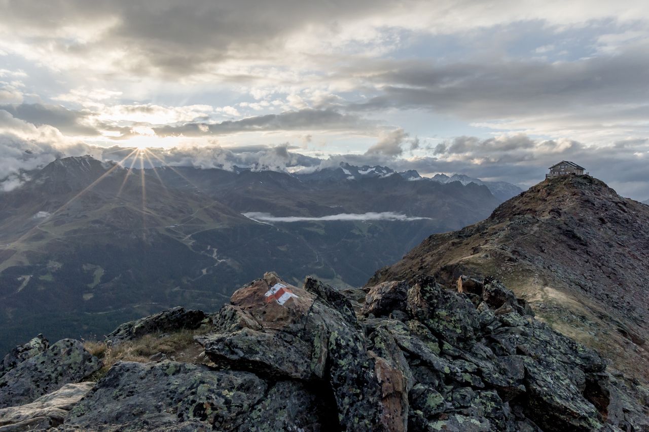
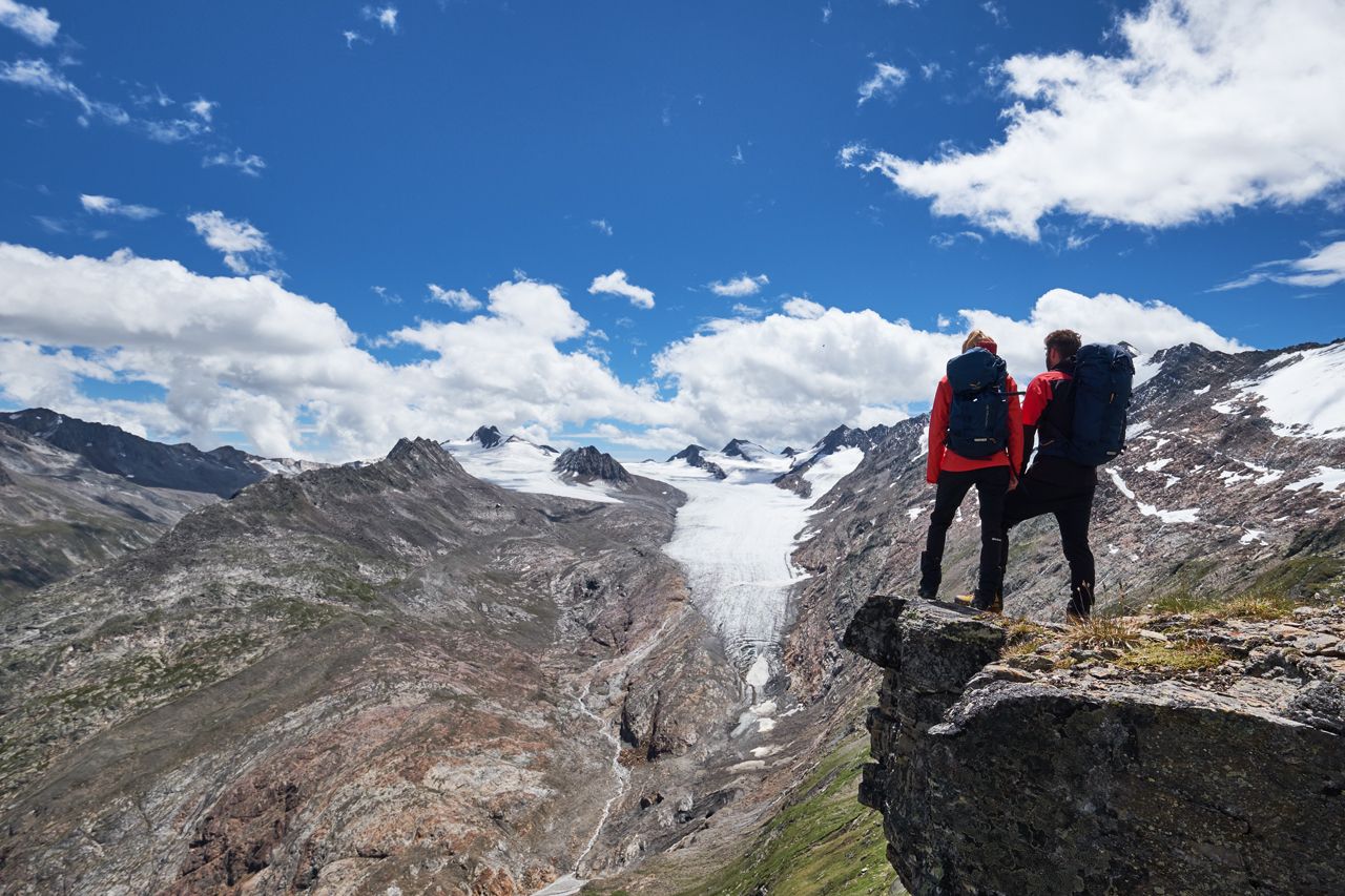
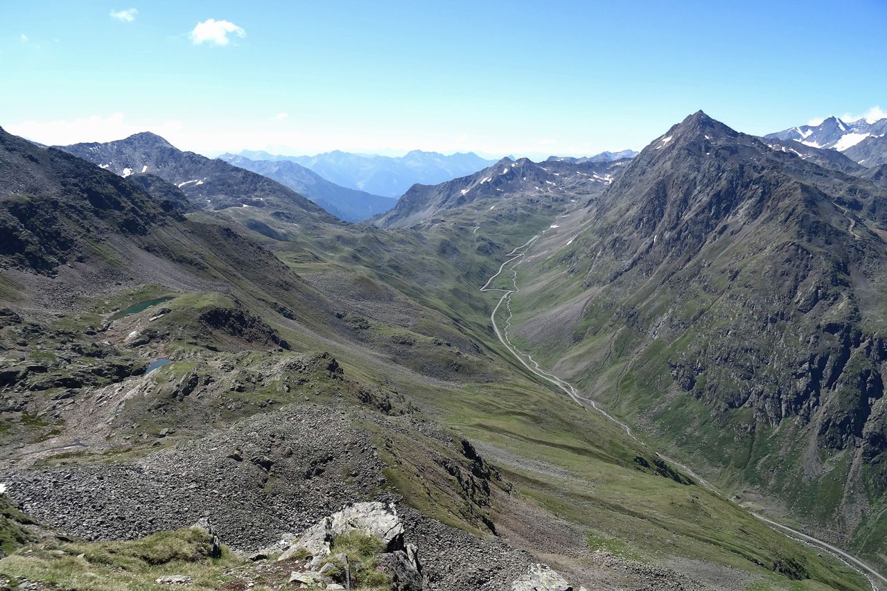
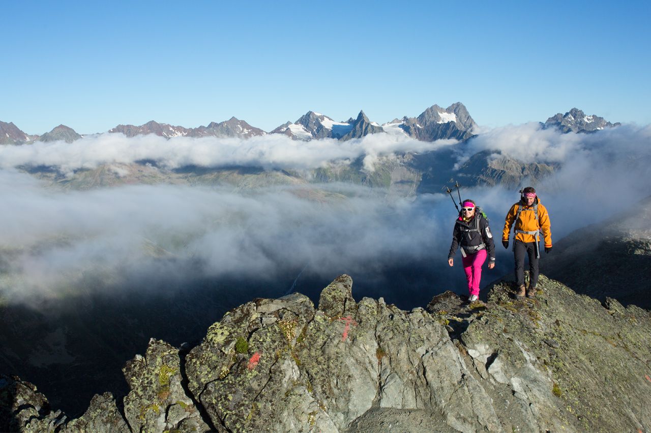
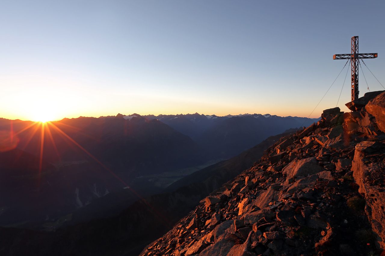
6 route sections comprise 22 hiking stages and 15 variations offering a total elevation gain of some 30,000 meters on a distance of 400 kilometers. The scenic Ötztal Trek travels from its trailhead in Ötztal-Bahnhof in eastern direction from hut to hut and across saddles, ridges and peaks to Obergurgl and Vent, before it heads back westwards along the Geigenkamm ridge to Ötztal-Bahnhof.
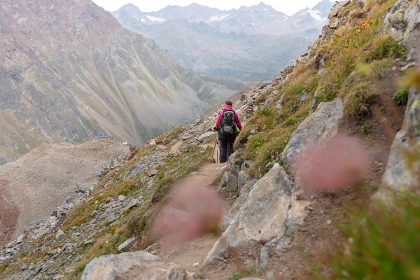
6 route sections with 2 - 5 day stages are just perfect for a memorable holiday at the Peak of Tirol, amidst the awe-inspiring Ötztal Alps. Of course, prior hiking experience is needed for all routes. The trails are signposted according to the "Tirolean Mountain Trail Concept": most of the routes are "black mountain trails" which are difficult and demanding while other sections have "red" trail markers and are of intermediate difficulty.
However, if a path leads across a glacier blazing and signs will most likely be missing. Knowing the weather forecast for the area where you are hiking and detailed tour planning are also essential. Proper hiking equipment is required for all tours: ankle-high boots with sturdy soles, wind and rain protection, sunscreen, possibly hiking poles, and a hat and gloves for the higher regions. First aid kits are vital pieces of hiking equipment.
- Directions
-
6 route sections comprise 22 hiking stages and 15 variations offering a total elevation gain of some 30,000 meters on a distance of 400 kilometers. The scenic Ötztal Trek travels from its trailhead in Ötztal-Bahnhof in eastern direction from hut to hut and across saddles, ridges and peaks to Obergurgl and Vent, before it heads back westwards along the Geigenkamm ridge to Ötztal-Bahnhof.
6 route sections with 2 - 5 day stages are just perfect for a memorable holiday at the Peak of Tirol, amidst the awe-inspiring Ötztal Alps. Of course, prior hiking experience is needed for all routes. The trails are signposted according to the "Tirolean Mountain Trail Concept": most of the routes are "black mountain trails" which are difficult and demanding while other sections have "red" trail markers and are of intermediate difficulty.
However, if a path leads across a glacier blazing and signs will most likely be missing. Knowing the weather forecast for the area where you are hiking and detailed tour planning are also essential. Proper hiking equipment is required for all tours: ankle-high boots with sturdy soles, wind and rain protection, sunscreen, possibly hiking poles, and a hat and gloves for the higher regions. First aid kits are vital pieces of hiking equipment.
- Highest point
- 3,468 m
- Height profile
-

- Equipment
-
It is recommended to wear hiking equipment such as breathable and weather-adapted outdoor clothing, ankle-high mountain boots, wind, rain and sun protection, cap and possibly gloves. It is also important to have enough food, as well as a first-aid package, a cell phone and a hiking map.
- Tips
-
Best season: July - September
- Additional information
- Arrival
- Public transportation


- Author
-
The tour Ötztal Trek is used by outdooractive.com provided.


-
Ötztal
1108
-
Hochsölden
328