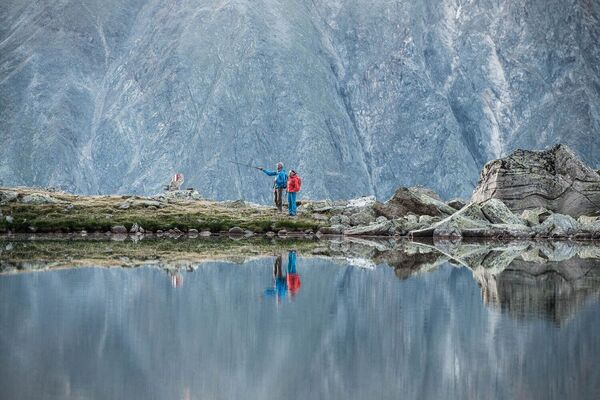
- Brief description
-
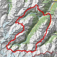
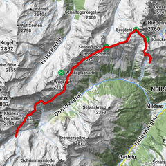
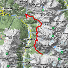
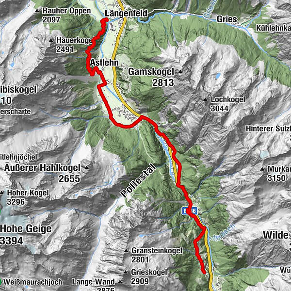
STAGE 9:
GRANSTEIN –> Hochwald –> Aschbach –> Huben –> Duringweg –> LÄNGENFELD
- Difficulty
-
medium
- Rating
-
- Starting point
-
Granstein
- Route
-
Ortskapelle Mariahilf in Granstein0.1 kmGranstein0.2 kmHochwald1.0 kmHochwaldkapelle1.1 kmHuben (1,198 m)7.7 kmAstlehn10.7 kmMoarrinne12.2 kmBärenfalle12.4 kmTeufelskanzel (1,366 m)13.7 kmHeilige Dreifaltigkeit14.7 km
- Best season
-
JanFebMarAprMayJunJulAugSepOctNovDec
- Description
-
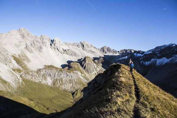
FROM SÖLDEN TOWARDS THE LONG FIELDS
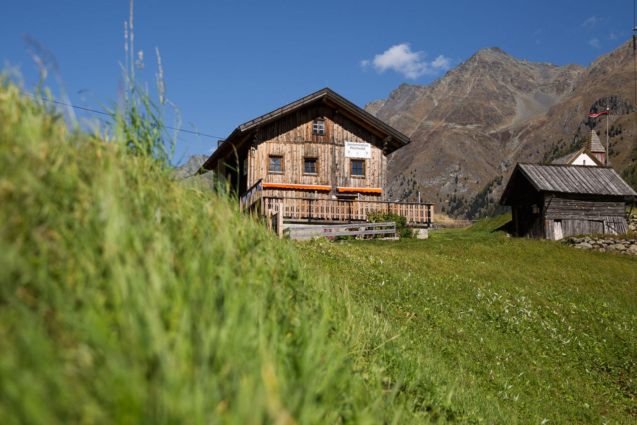
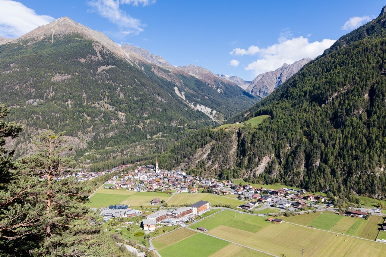
Hochwald is said to be just as quiet and idyllic as Granstein. The small hamlet at a forest clearing not far from Sölden, surrounded by deep green larch trees. Here you should look back and enjoy the awesome view of the village amidst a gigantic mountain scenery - resembling an idyllic picture in a perfect setting.
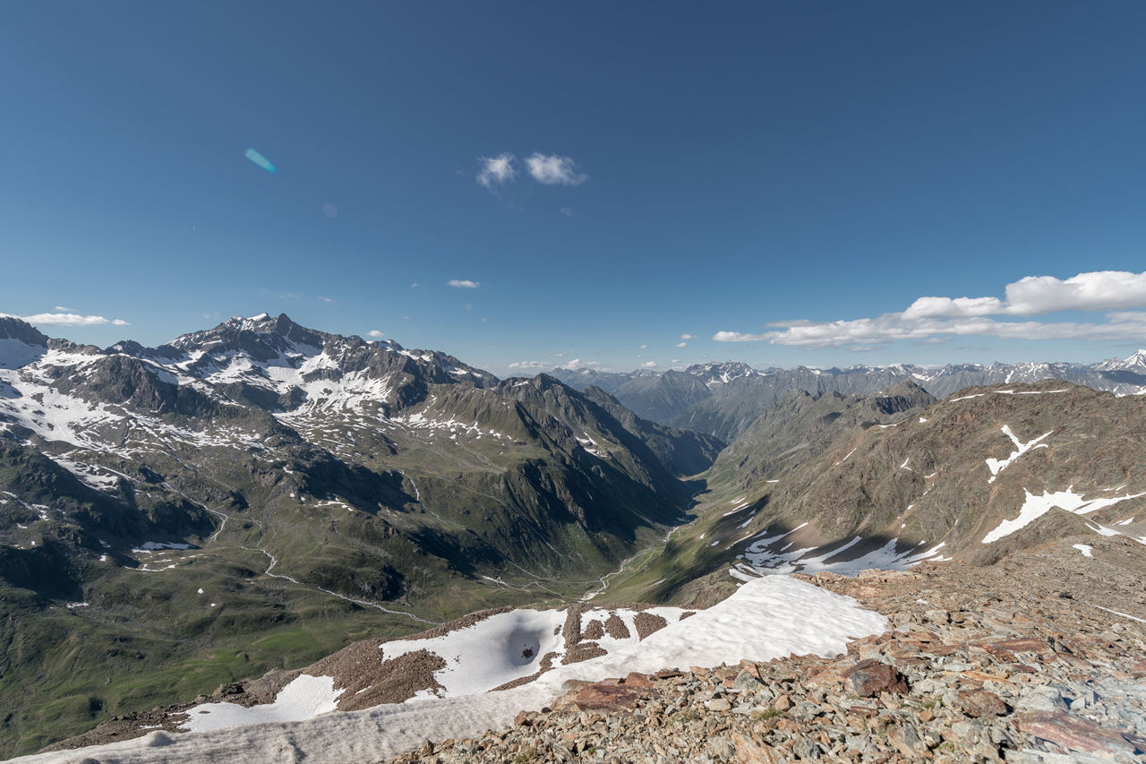
Scenic Duringweg, another high altitude trail that travels high above the small villages and hamlets, features many more places of strength and exceptional energy - plus many historical farmhouses. Buildings from bygone times show the traditional consciousness of the Ötztal locals. As soon as you reach Teufelskanzel, the next place of strength, you will feel "devilish" good. The panoramic view is really unique, opposite you can see the suspension bridge connecting Brandalm and Burgstein in lofty heights.
- Directions
-
From Granstein you reach Hochwald on the right via a connecting path. Later the slightly descending trail leads through the dense forest to Ötztal‘s mainroad. Follow the Ötztal Cycle Trail out of the valley towards Aschbach where you cross the Ötztaler Ache mountain brook. Continue until you get to the hamlet Bruggen through an underpass.
Keeping left and following the gravel road, you enjoy a stroll through the hamletsof Bruggen and Winkle until you finally reach the next underpass. Then keep to the left and cross the Ötztaler Ache mountain brook. Continue to the houses of Huben until you pass the sports field in the direction of Gottsgut.You always walk to the left of the Ötztaler Ache brook until you reach the branch-off into Duringweg on the left. The ascending and switch-backing trail leads up to lofty heights.
Magnificent panoramic views await you at the Teufelskanzel. From Teufelskanzel the trail continues - moderately descending - to the Plague Chapel, down to the campsite and straight on to Fischbach bridge in Oberlängenfeld. - Highest point
- 1,563 m
- Endpoint
-
Längenfeld
- Height profile
-

- Equipment
-
Standard hiking equipment, sturdy hiking boots
- Safety instructions
-
Surefootedness, a good physical shape, stamina
No major difficulties
- Additional information
- Directions
- Public transportation
- Parking
-
The following parking facilities are available in Sölden:
- Parking lot
- parking lot Stiegele
- stair parking
- Giggijochbahn + underground garage
- Gaislachkoglbahn + underground garage
- Parking Hochsölden
- parking garage Hochsölden 1. parking lot
- parking Zwieselstein
- parking Zwieselstein / sports ground
All parking is free during the day.
Parking for several days (eg hike tour):
- Postplatz, Parkticket available at the information Sölden Parkgarage Gaislachkoglbahn
- Parkticket either online or directly at the cash desk of the Gaislachkoglbahn


- Author
-
The tour Ötztaler Urweg E9 Granstein - Längenfeld is used by outdooractive.com provided.


-
Ötztal
1107
-
Längenfeld - Huben - Gries
354