- Brief description
-
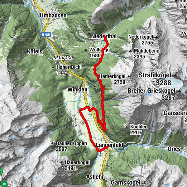
STAGE 3:
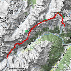
NIEDERTHAI –> Wiesle –> Hemrach Alm –> Dorf –> Ötztaler Ache –> Fischbach –> LÄNGENFELD
Due to construction work, there may be local detours here
- Difficulty
-
medium
- Rating
-
- Route
-
SennhofNiederthai0.1 kmEnnebach0.3 kmÜberfeld0.7 kmLehen0.9 kmAdlerblick6.6 kmEspan8.8 kmDorf8.8 kmLehner Au10.3 kmOberlängenfeld12.8 kmLängenfeld (1,179 m)12.8 km
- Best season
-
JanFebMarAprMayJunJulAugSepOctNovDec
- Description
-
PICTURE-BOOK PASTURES
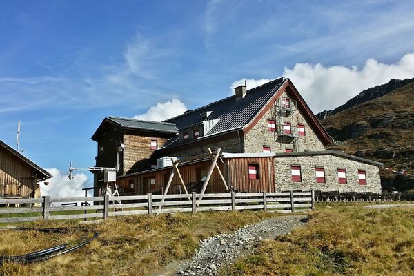
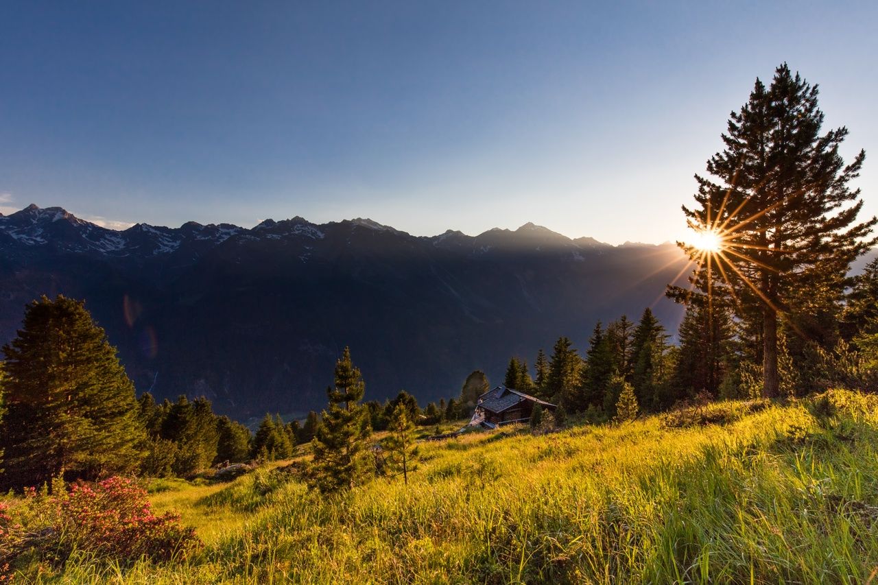
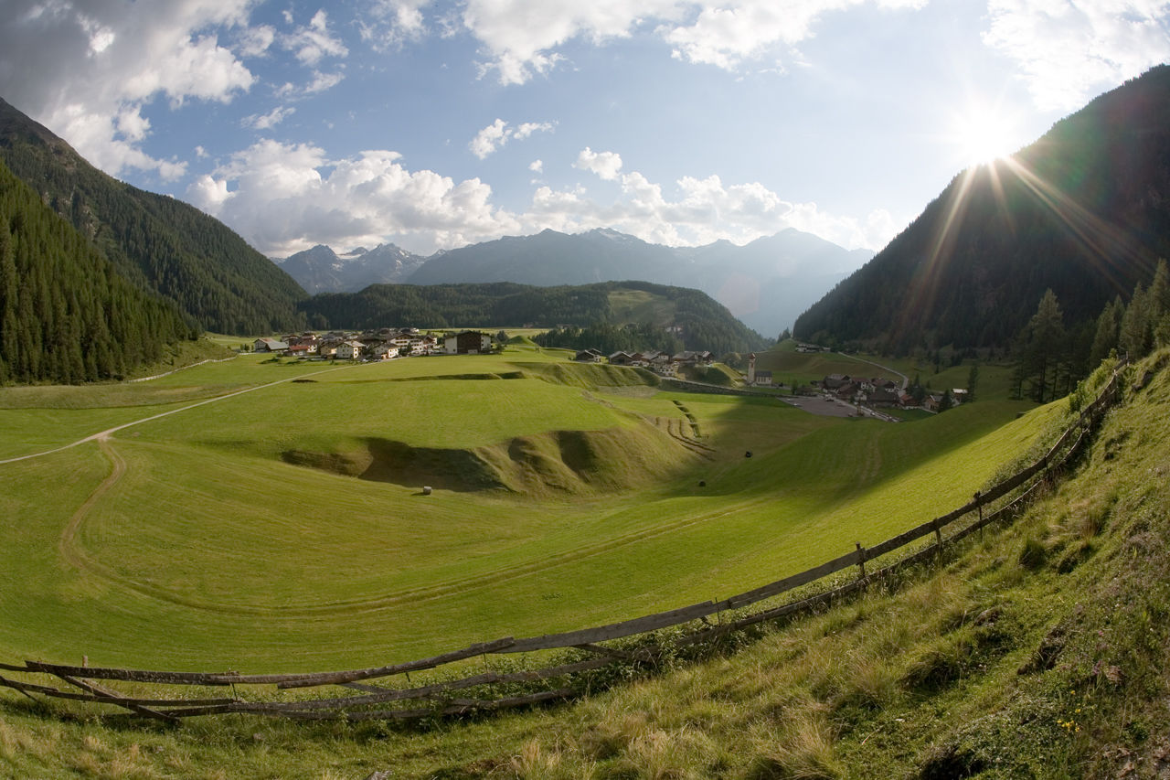
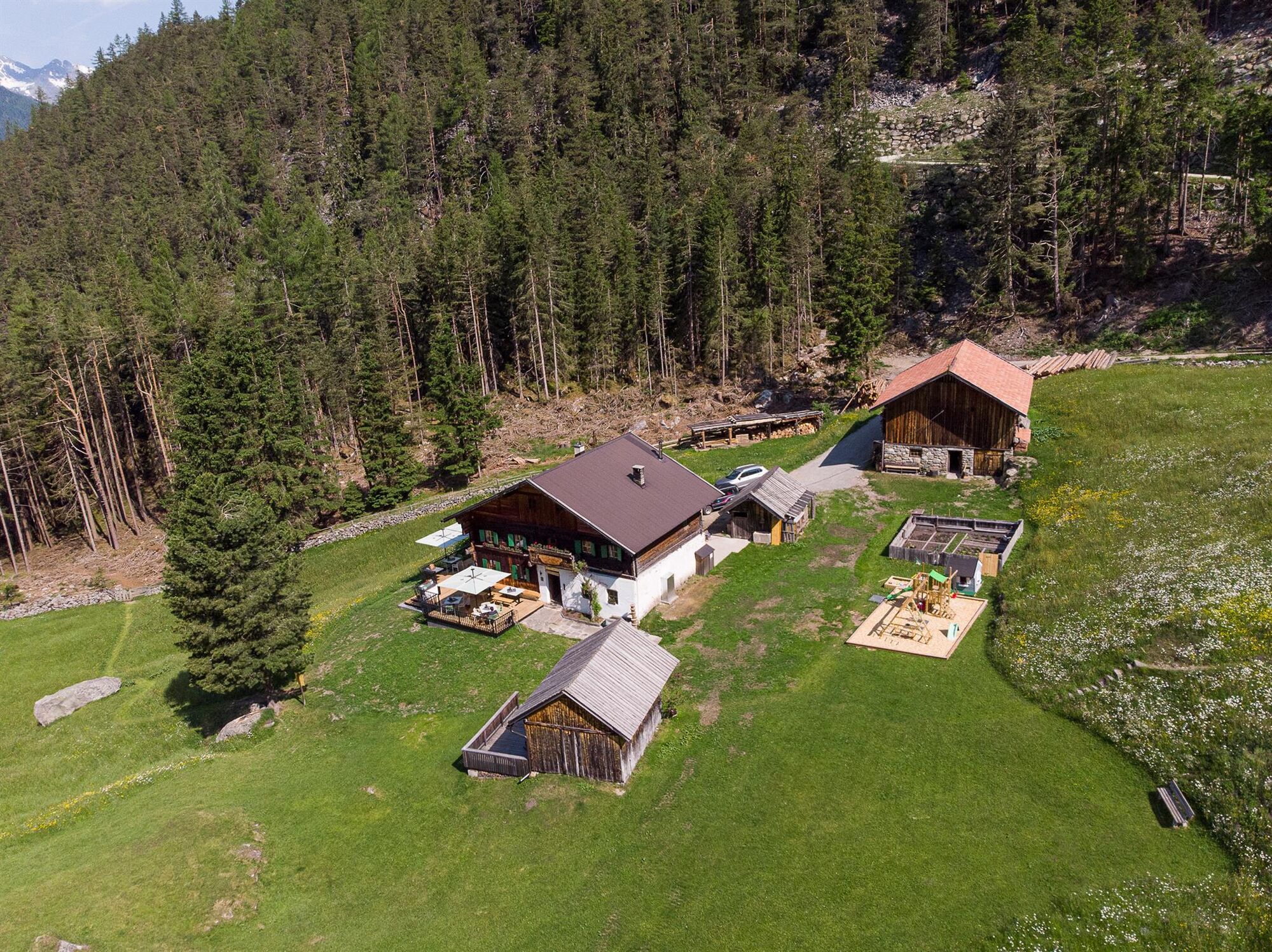
Pure mountain idyll can be found in the small Alpine village of Niederthai. Heading a little further it becomes even more romantic: at the heart of the forest and a nice-smelling mountain meadow there is a small chapel and an adjacent Alpine pasture called Wiesle. As in earlier years, as if time has stopped here. Also at the next stopover, the Hemrach Almen pasturelands, you will inhale this truly authentic flair in unspoilt surroundings.
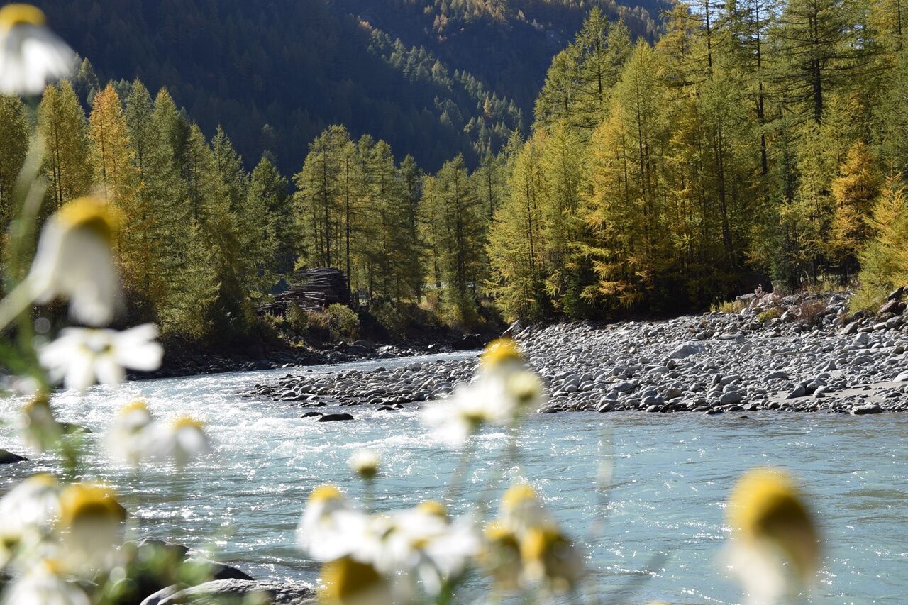
The name of the area already describes the scenery, deriving from "the long field". Down in the valley close to the Strelesperre platform at Fischbach, visitors experience almost "elated moments" while watching the dancing swirls of the Fischbach waters, the biggest feeder brook of the Ötztaler Ache.
- Directions
-
At the Niederthai Information office you turn right and take the road up the hill, past the houses and restaurants, always keeping right to the sports field in the hamlet of Lehn. A wide forest trail now leads to the left, a little steeper at the beginning, up to Mauslasattel. At its top it becomes flat again and at its end it leads down through dense forest.
If you want to take a break, follow the forestpath to Jausenstation Wiesle. The rustic snack station is located in a truly idyllic clearing.
On the descent you leave the meadow and continue on the forest path towards Längenfeld. If you want to go further right away, follow the route through the forest. Soon the path forks off, you take the left route in the direction of Längenfeld. On the ascending trail you pass Hemerachalmen huts, which are not serviced but invite you to take a break.
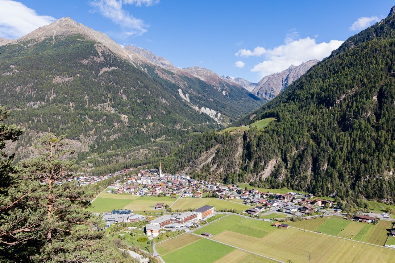
From there a forest trailtakes you down the mountainside to Längenfeld. On the valley floor you get to the hamlet of Dorf-Espan via an underpass. In Dorf you turn slightly to the right, past the houses in Espan and to Ötztaler Ache. From here you continue along the river shore of Ötztaler Ache, across the flat valley basin to Unterlängenfeld.
At Fischbach brooklet you turn left and follow the largest feeder of the Ache to the main road in Längenfeld. Along the sidewalk you enjoy a stroll through the center of the village. - Highest point
- 1,822 m
- Endpoint
-
Längenfeld
- Height profile
-

- Equipment
-
Standard hiking equipment, sturdy hiking boots
- Safety instructions
-
Surefootedness, a good physical shape, stamina
No major difficulties
- Additional information
- Directions
- Public transportation
- Parking
-
The following parking facilities are available in Niederthai:
- Niederthai Parking Sennhof, payable from 07:00 to 18:30
- Niederthai Ortsweiler Lehen (football pitch), free
- Niederthai Ortsweiler plate floor, free of charge

- Author
-
The tour Ötztaler Urweg E3 Niederthai - Längenfeld is used by outdooractive.com provided.


-
Ötztal
1111
-
Längenfeld - Huben - Gries
355