Goldtoni - Alpenbogen A034 Schweinfurter Hütte- Habichen im Oetztal

long-distance walking trail

© Anton_S

© Anton_S

© Anton_S

© Anton_S

© Anton_S

© Anton_S

© Anton_S
Tour data
19.12km
843
- 2,990m
1,188hm
2,334hm
09:19h
- Brief description
-
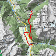
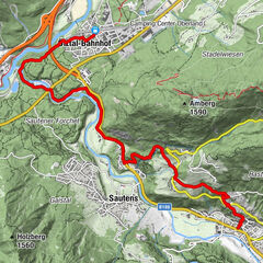
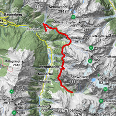
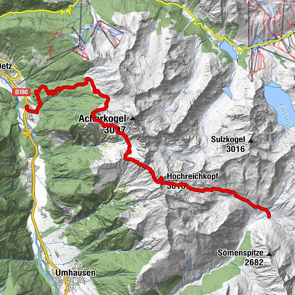
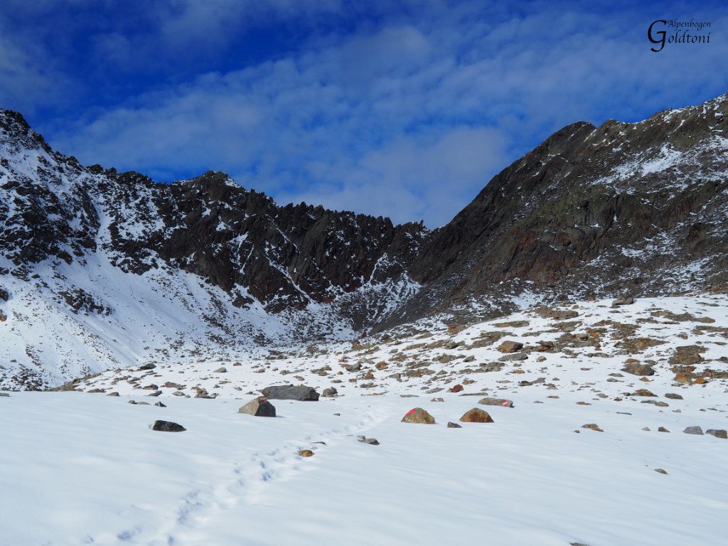
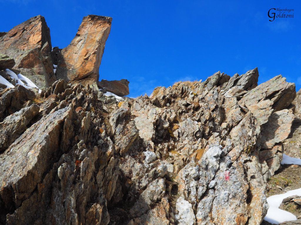
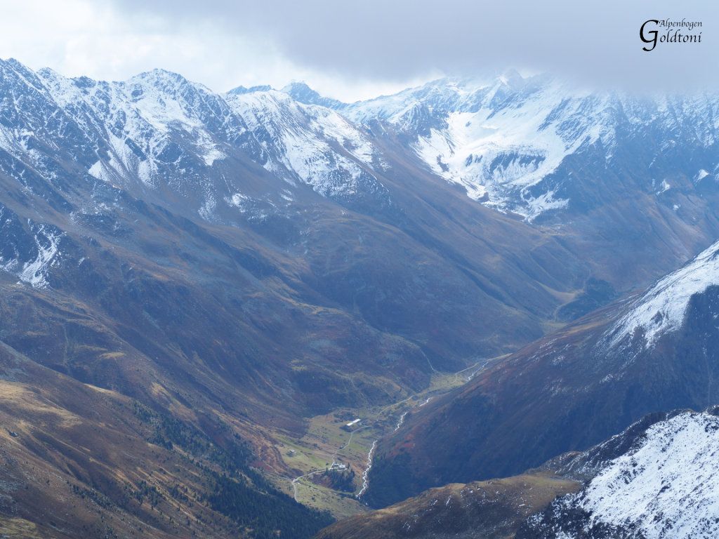
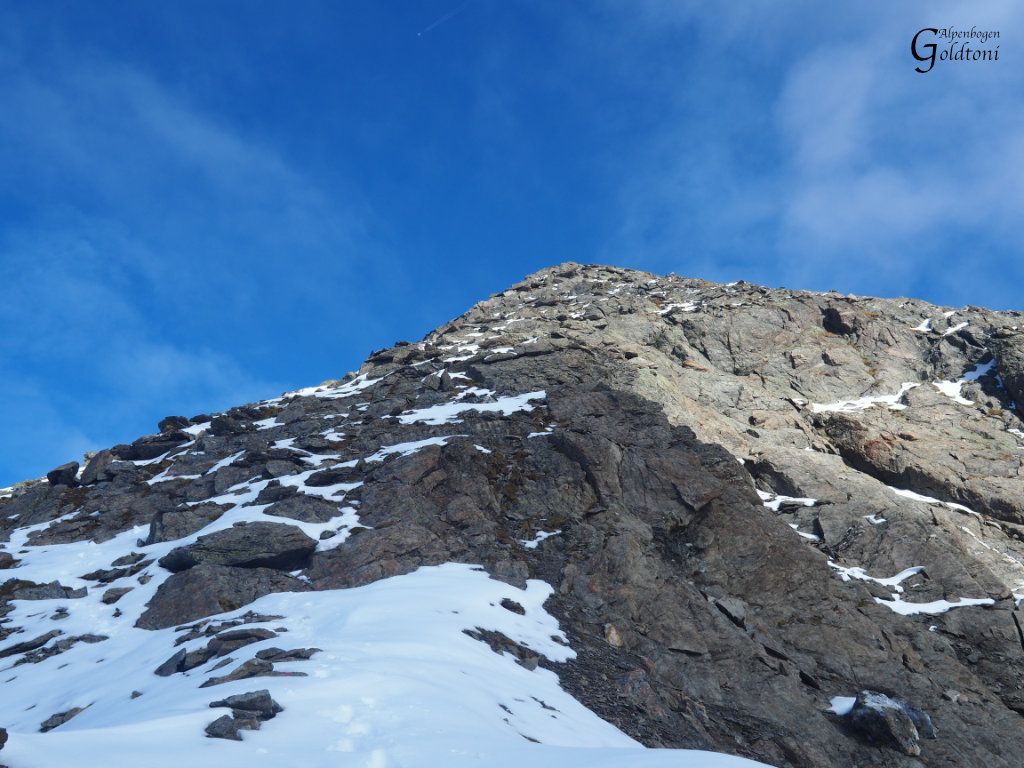
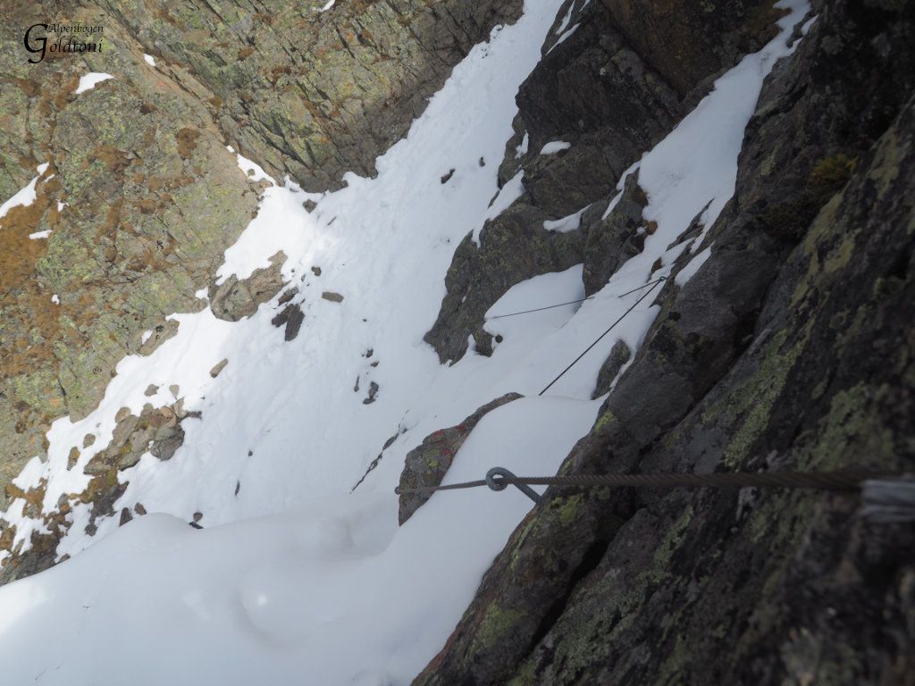
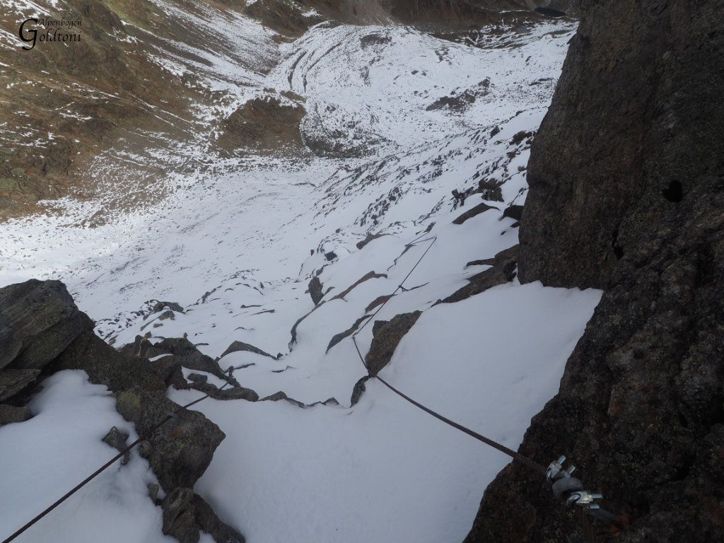
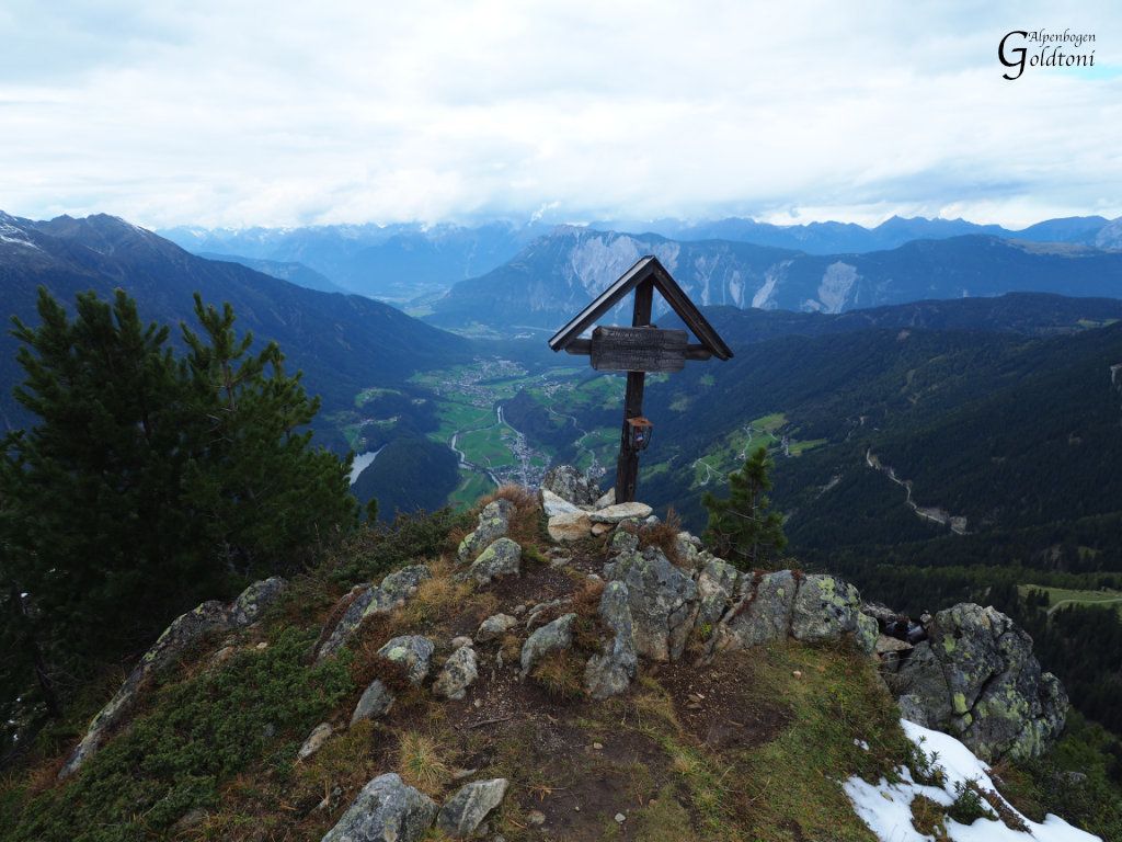
Guben Schweinfurter Hütte(2028)-Hochreichscharte(2912)-Hochreichkopf(3010)-Hochreichscharte(2912)-Niederreichscharte(2729)-Achplatte(2423)-Alte Bielefelder Hütte(1180)-Acherberg Sennhütte(1893)-Habichen im Oetztal(851)
- Difficulty
-
difficult
- Rating
-
- Starting point
-
Schweinfurter Hütte
- Route
-
Schweinfurter Hütte0.0 kmHochreichkopf (3,010 m)5.5 kmLauser (2,616 m)8.3 kmAlmwirtschaft Acherberg13.9 kmHabichen18.9 km
- Best season
-
JanFebMarAprMayJunJulAugSepOctNovDec
- Highest point
- Hochreichkopf (2,990 m)
- Endpoint
-
Habichen im Oetztal
- Rest/Retreat
-
Keine
- Source
- Toni Sommer
GPS Downloads


Trail conditions
Asphalt
Gravel
(30%)
Meadow
(15%)
Forest
(5%)
Rock
(50%)
Exposed
(30%)
Other tours in the regions
-
Mieminger Plateau & Inntal
1673
-
Niederthai
383