Munich - Venice: Through the Wattental to the Lizumer Hütte

long-distance walking trail

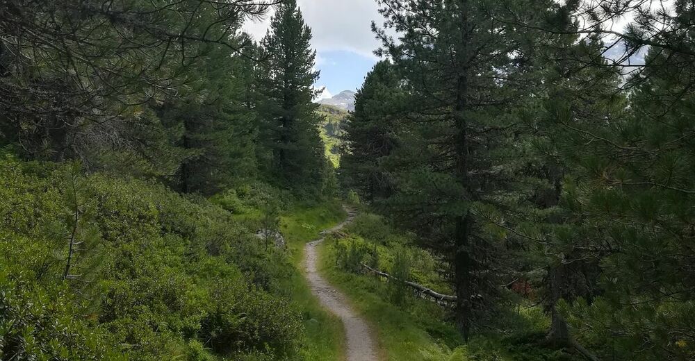
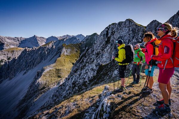
© Tourismusverband Region Hall-Wattens - Anne W.
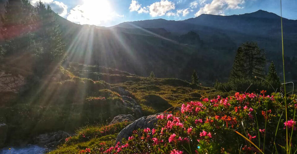
© Tourismusverband Region Hall-Wattens - Anne W.
- Brief description
-
Should the weather or your own fitness not be 100% suitable on this stage, then variant 2 offers a good alternative to still hike safely to the Lizumer Hütte.
- Difficulty
-
medium
- Rating
-
- Route
-
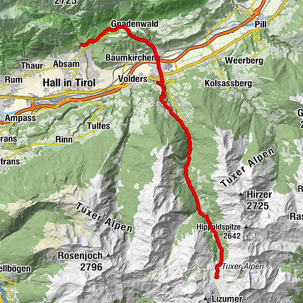
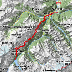
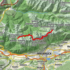
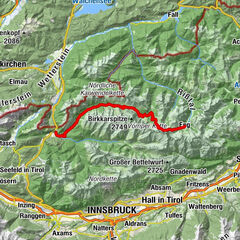
Walderkapelle1.0 kmRotmoos2.3 kmSt. Martin3.5 kmSt. Martin3.9 kmGnadenwald (879 m)4.4 kmFritzens (591 m)6.9 kmWattens (564 m)8.6 kmVögelsberg (810 m)11.6 kmSägerkirche14.7 kmGasthof Säge14.8 kmGasthaus Haneburger18.9 kmOchsenbrandalm20.1 kmMelangalpe23.4 kmLizumer Kirchlein26.0 kmLizumer Hütte (2,019 m)26.6 km
- Best season
-
JanFebMarAprMayJunJulAugSepOctNovDec
- Description
-
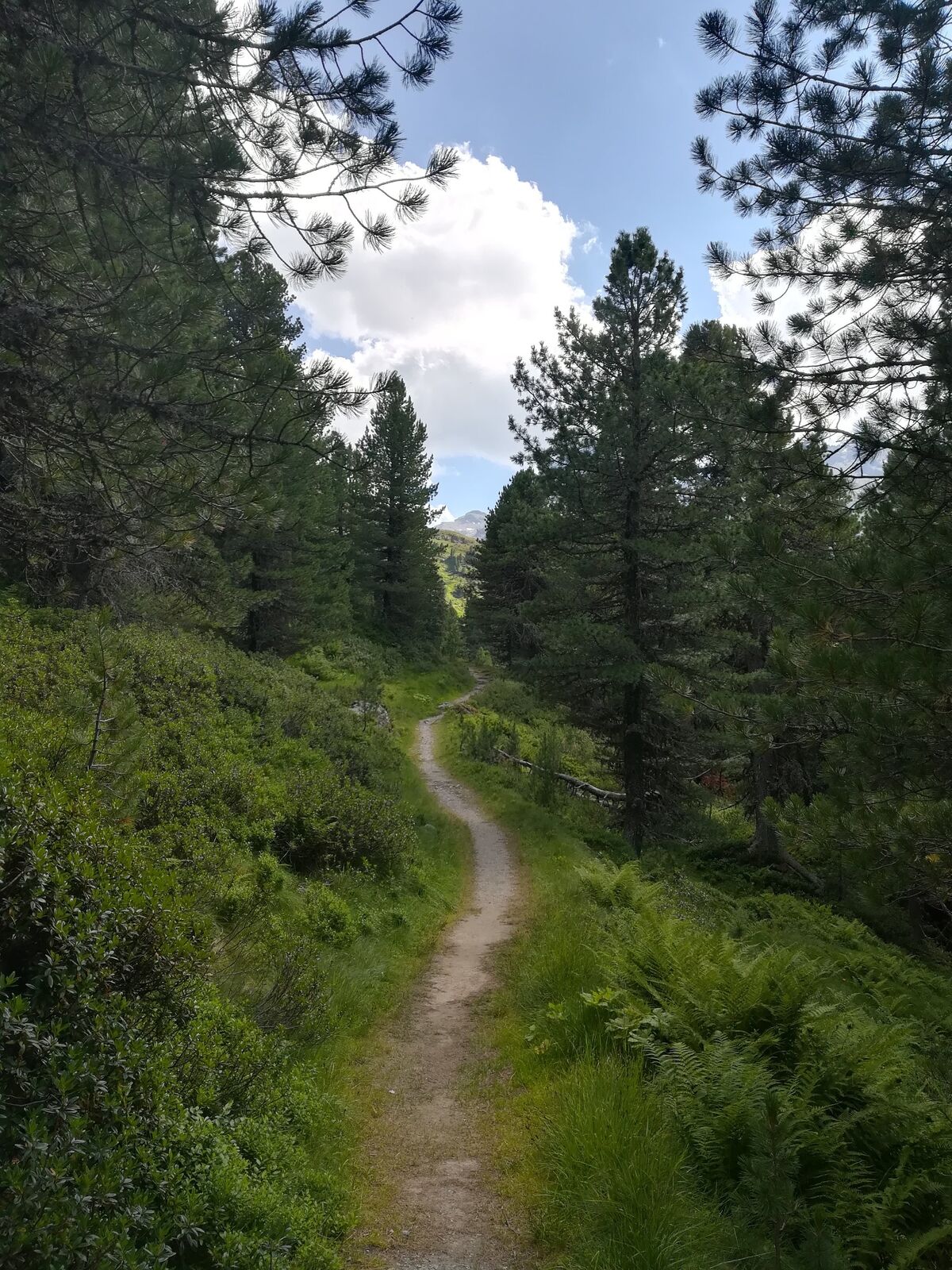
Variant 2 leads us via the Halltal and Gnandenwald into the Inntal to Wattens. From there through the Wattental to the Lizumer Hütte.
You can shorten this stage by taking a taxi to the Walchen camp and from there "only" climb to the Lizumer Hütte.
- Highest point
- 2,014 m
- Endpoint
-
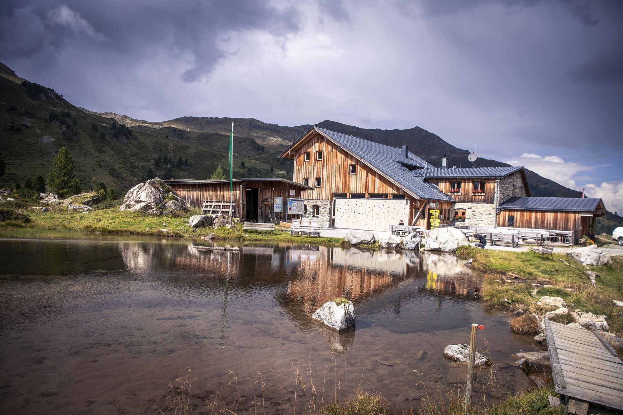
Lizumer Hütte
- Height profile
-

-

-
AuthorThe tour Munich - Venice: Through the Wattental to the Lizumer Hütte is used by outdooractive.com provided.
GPS Downloads


General info
Refreshment stop
Other tours in the regions
-
Ferienregion Hall - Wattens
1490
-
Wattenberg
306


, Schlafhütte „TuXer“ (re) und „Base-Camp“")