Karnischer Höhenweg – Etappe 3: Porzehütte – Hochweißsteinhaus

- Brief description
-
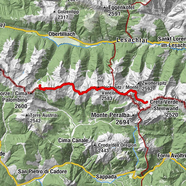
The Karnische Höhenweg or "Friedensweg" leads along the entire Karnische Kamm, which runs along the border between Austria and Italy.
- Difficulty
-
difficult
- Rating
-
- Route
-
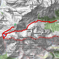
Porzehütte0.0 kmTilliacher Joch (2,094 m)0.5 kmBärenbadegg (2,431 m)2.3 kmCima Salvades (2,351 m)5.3 kmGamskofel (2,415 m)7.3 kmHochspitzsenke (2,314 m)8.5 kmHochspitz (2,392 m)9.5 kmSteinkarspitz (2,524 m)10.9 kmCima Ciandazei (2,462 m)12.1 kmHochweißsteinhaus16.7 km
- Best season
-
JanFebMarAprMayJunJulAugSepOctNovDec
- Description
-
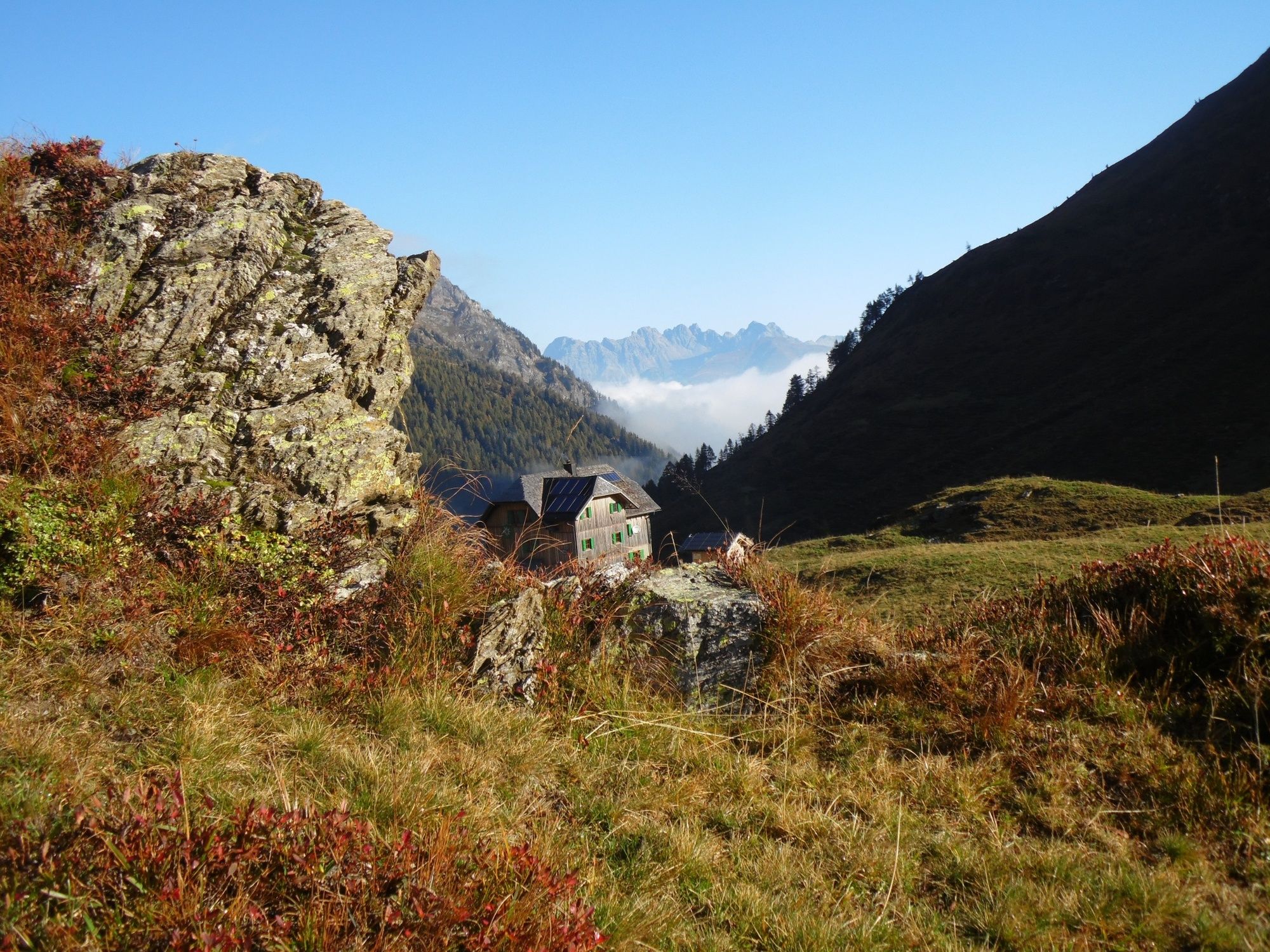
The Karnische Höhenweg is about 150 km long from Sillian to Arnoldstein and can be divided into 8-11 daily stages, a descent into the valley is (almost) possible at any time. Overnight stays in managed huts are sufficiently available.
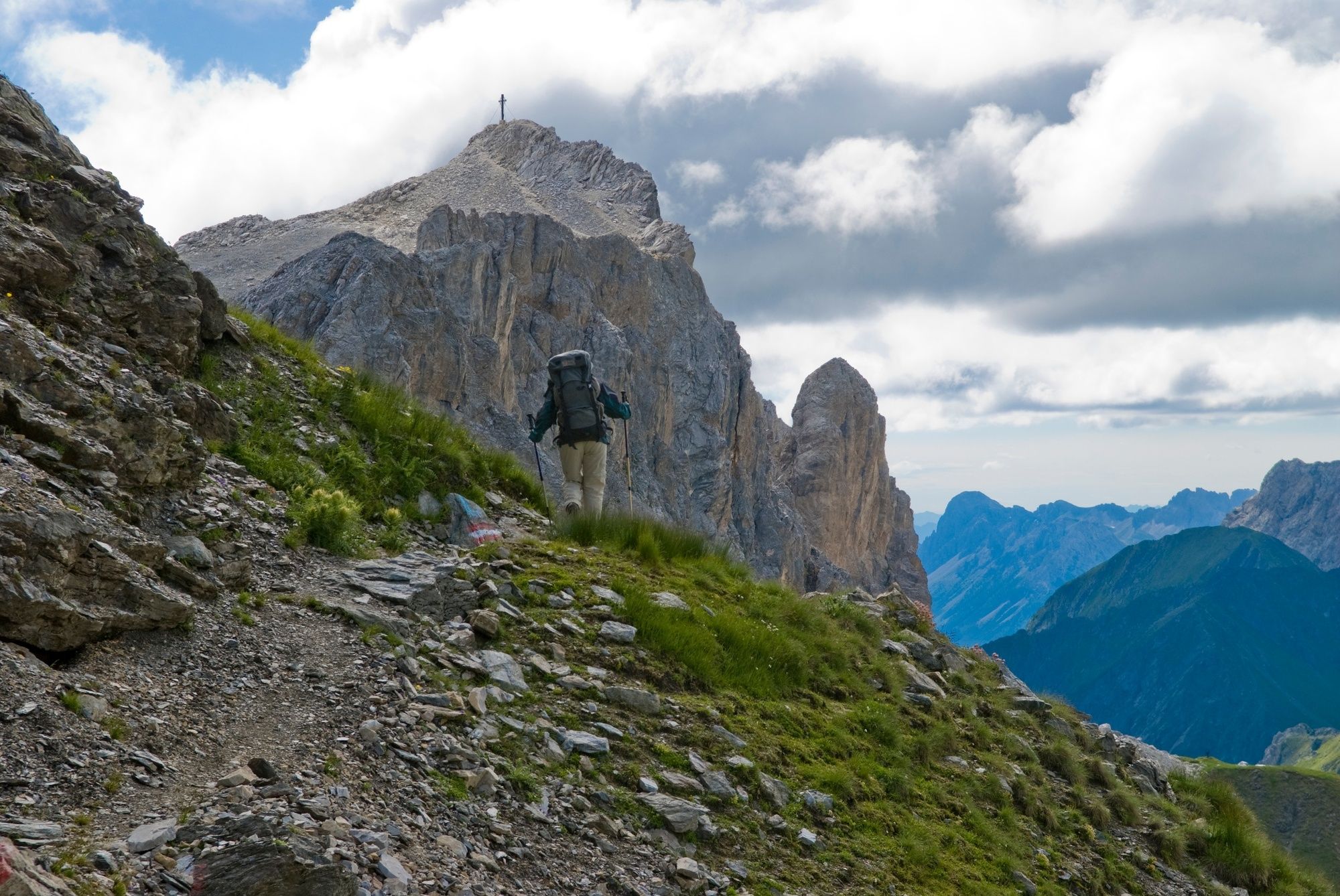
The somewhat longer section east of the Plöckenpass offers a gentle mountain landscape with extensive alpine meadows and easy hiking mountains. West of the Plöckenpass, the more interesting alpine section stretches along the highest peaks of the Carnic Ridge. The alpine long-distance hiking trail leads through a scenically extremely beautiful and varied area.
- Directions
-
Two possible transitions:
a) Route along the ridge with four summit crossings approx. 8 hours (in case of bad weather, descent to the Mitterkar bivouac is possible)
b) Via delle Malghe path (path of the mountain pastures) via Tilliacher Joch and Hochalpljoch (mostly on the Italian side, less difficult) approx. 9 hours
- Highest point
- 2,509 m
- Endpoint
-
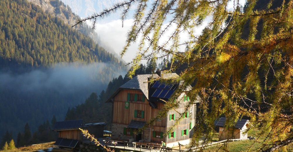
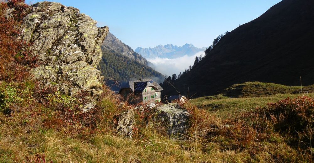
Hochweißsteinhaus
- Height profile
-

- Equipment
-
Checklist tips:
Sturdy shoes (hiking boots or mountain boots)
(Hiking) Clothing for all weather conditions: rain protection, hats, gloves, ... (according to the season)
First aid kit
Money
Cell phone or radio
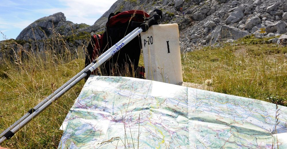
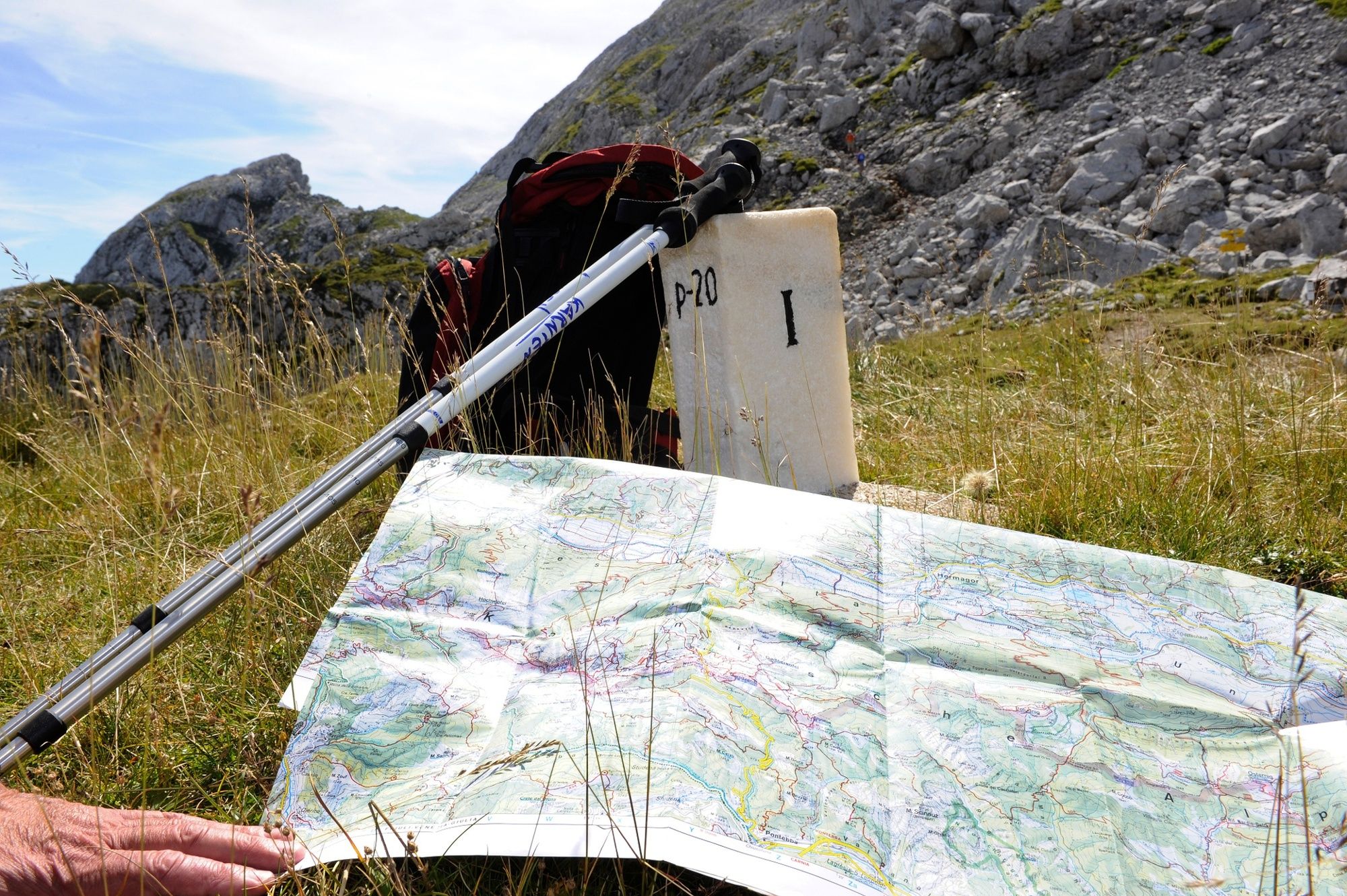
Hiking maps
Backpack
Sun protection and sunglasses
Flashlight or headlamp
Catering (drinks, water bottles and possibly food)
Toiletries
ev. hiking poles
... - Safety instructions
-
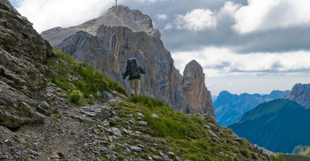
Mostly alpine terrain, especially in the western part of the Karnischen Höhenweg. Sure-footedness, freedom from vertigo and the ability to climb easy climbing sections are required. Conditionally partly very demanding.
- Tips
-
In addition to the conventional route, summit ascents can also be included. Especially recommended: Porze and Wildkarleck.
- Additional information
- Directions
-
from the Obertilliacher Tal by car on forest road to the Klopfsee parking lot, 1,690 m, from there 45 minutes - 1 hour. (250 meters altitude difference)
- Public transportation
- Parking
-
Parking is possible at the Klopfsee.

- Author
-
The tour Karnischer Höhenweg – Etappe 3: Porzehütte – Hochweißsteinhaus is used by outdooractive.com provided.