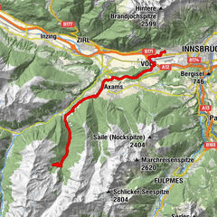


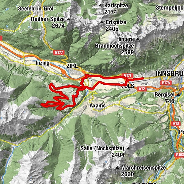
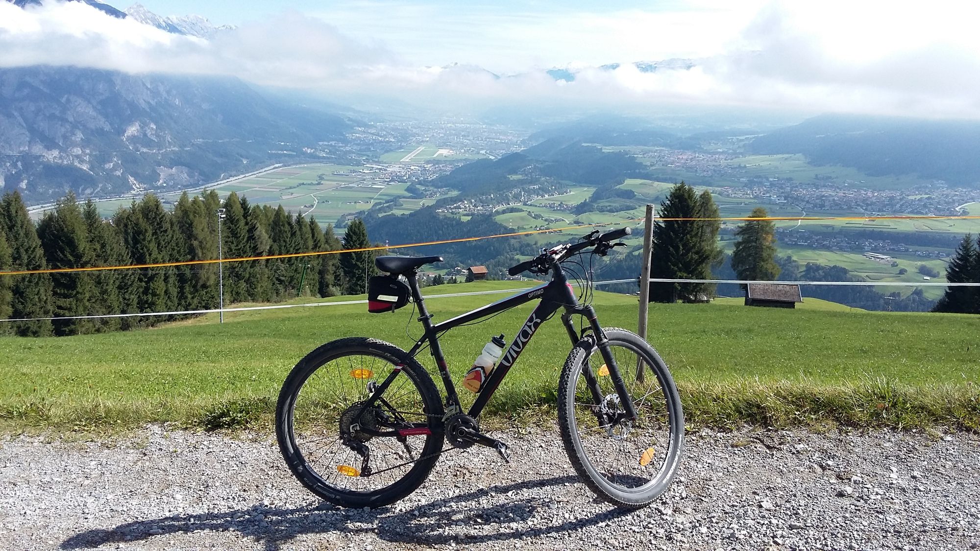
Tour data
39.79km
575
- 1,548m
1,023hm
1,011hm
02:00h
- Brief description
-
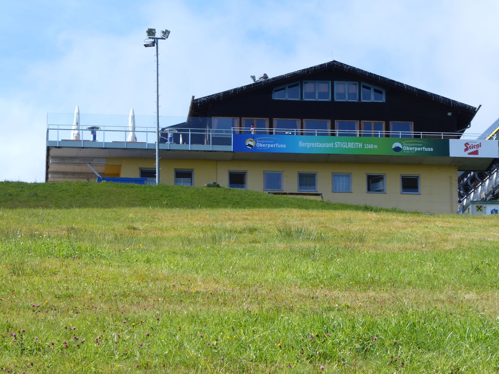
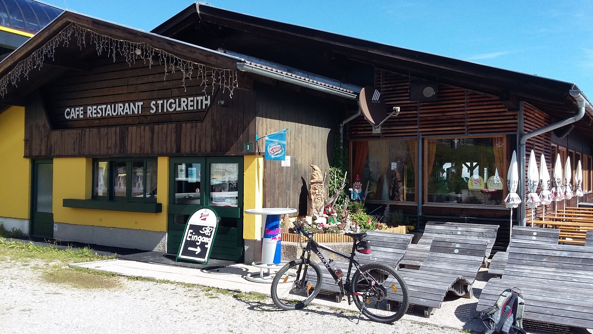
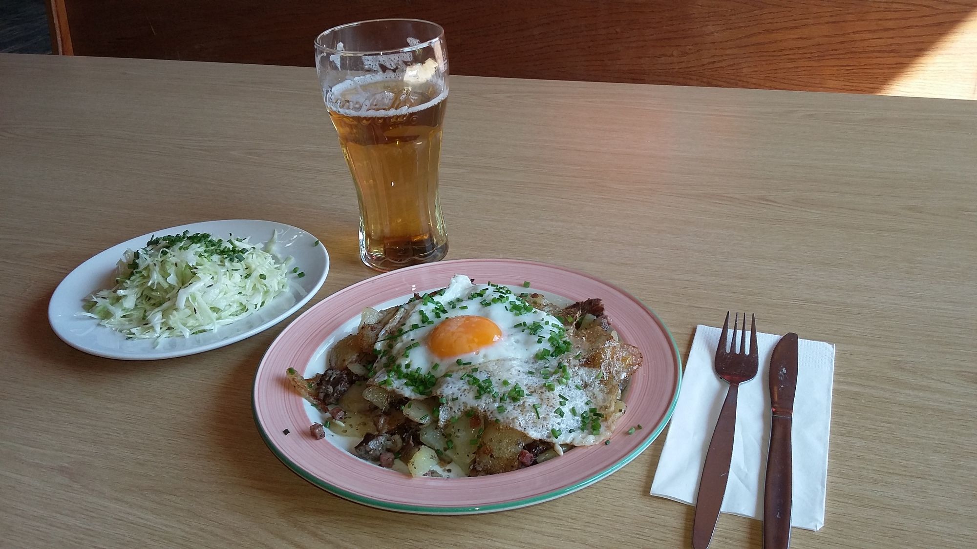
Bergrestaurant Stiglreith
- Difficulty
-
medium
- Rating
-
- Starting point
-
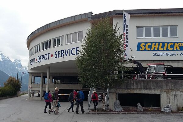
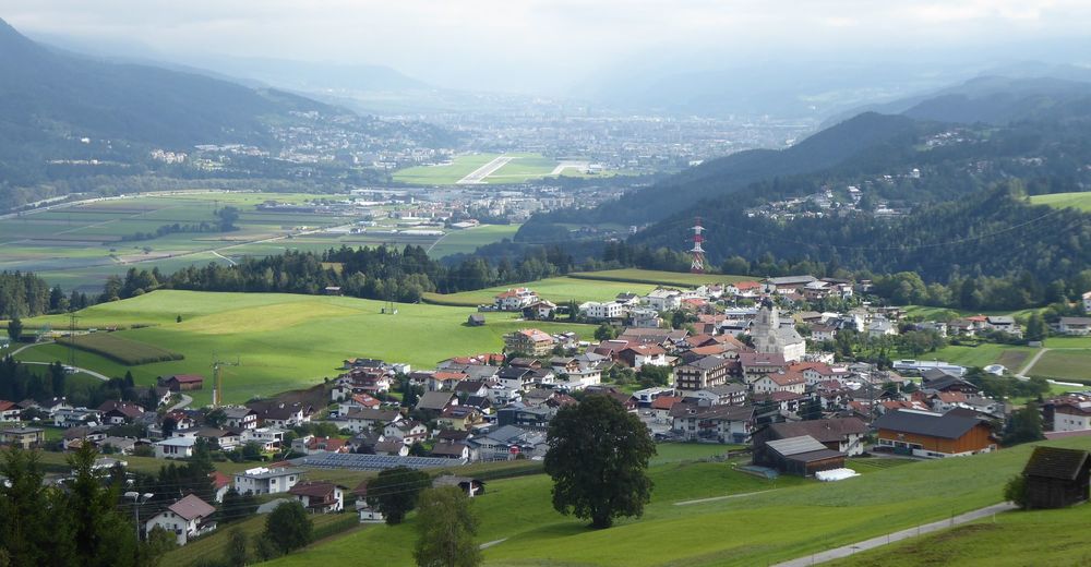
Innsbruck-Hötting/West
- Route
-
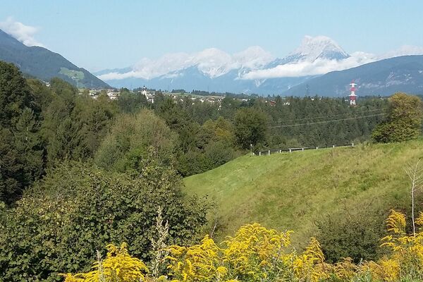
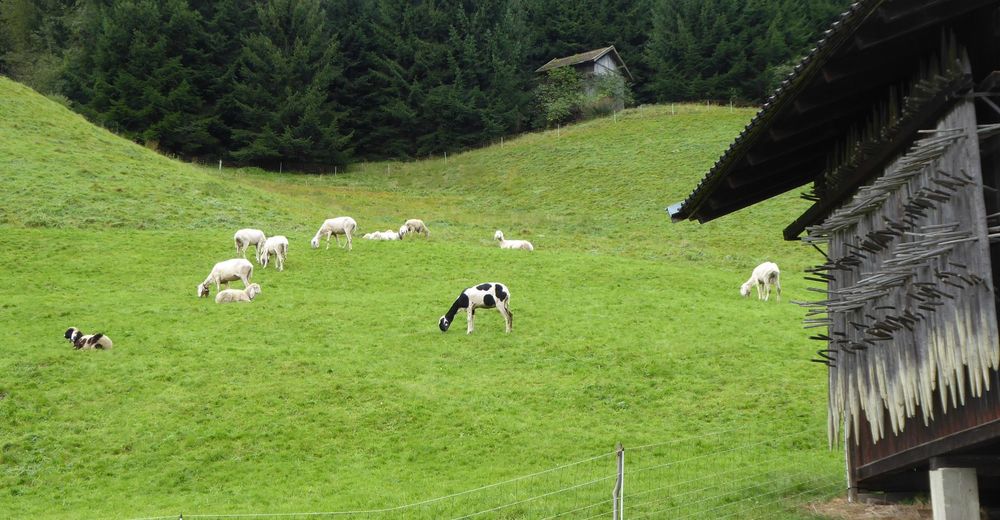
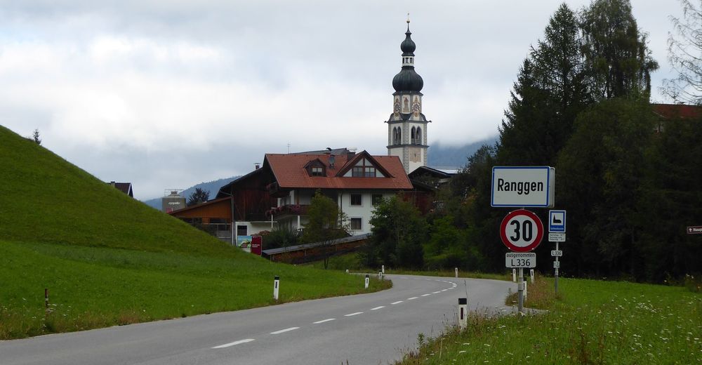
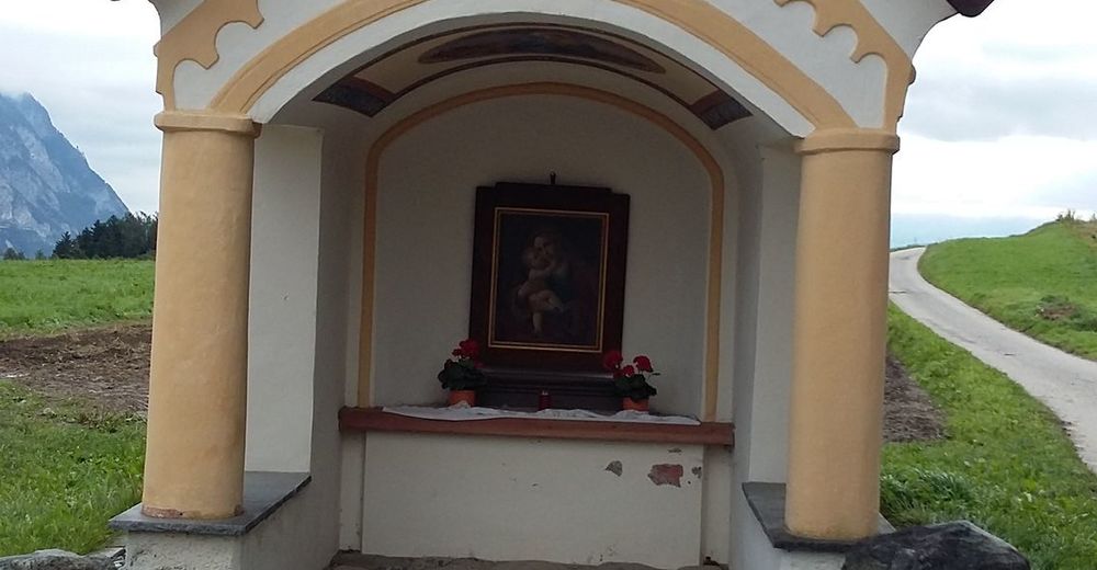
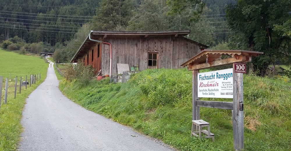
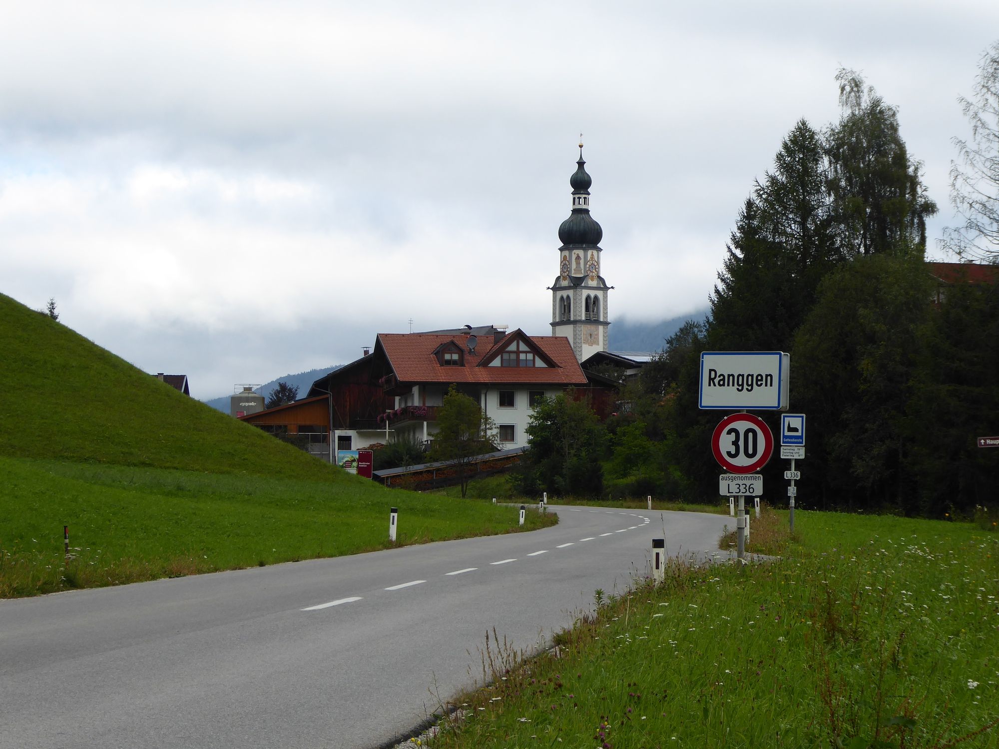
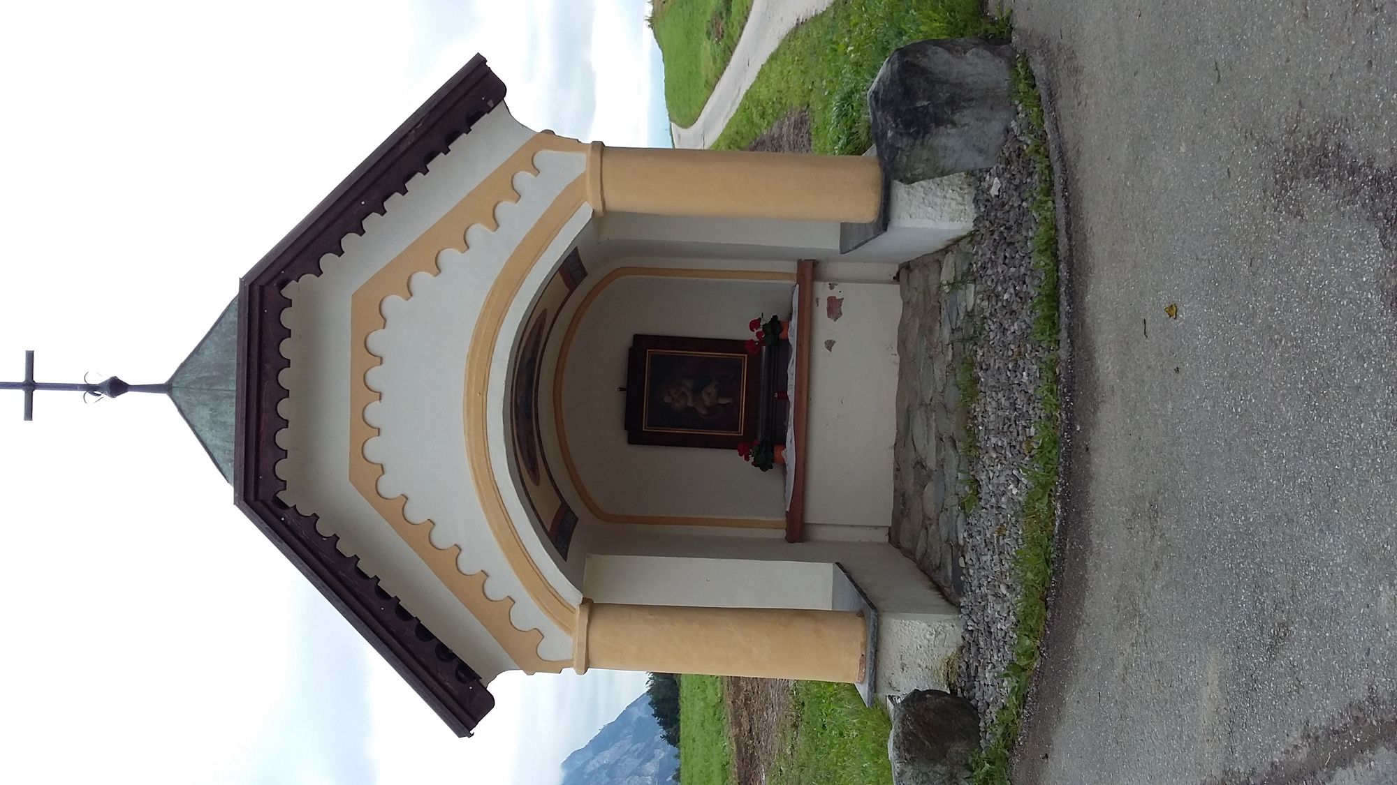
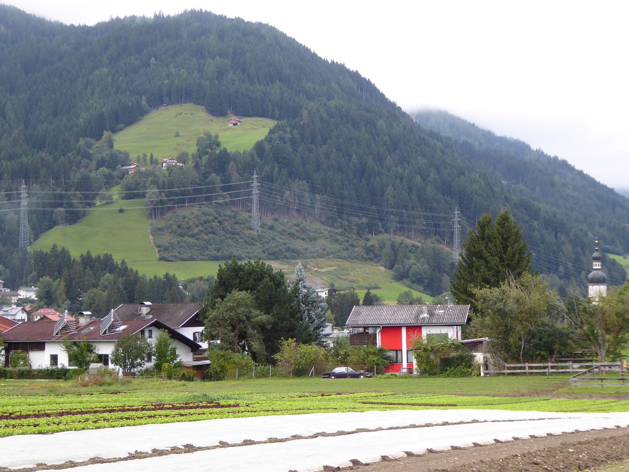
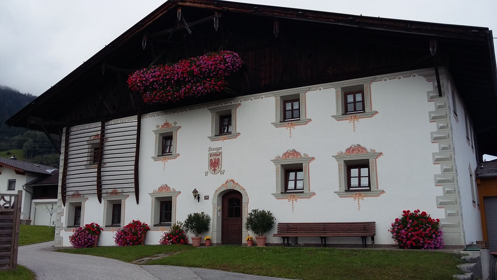
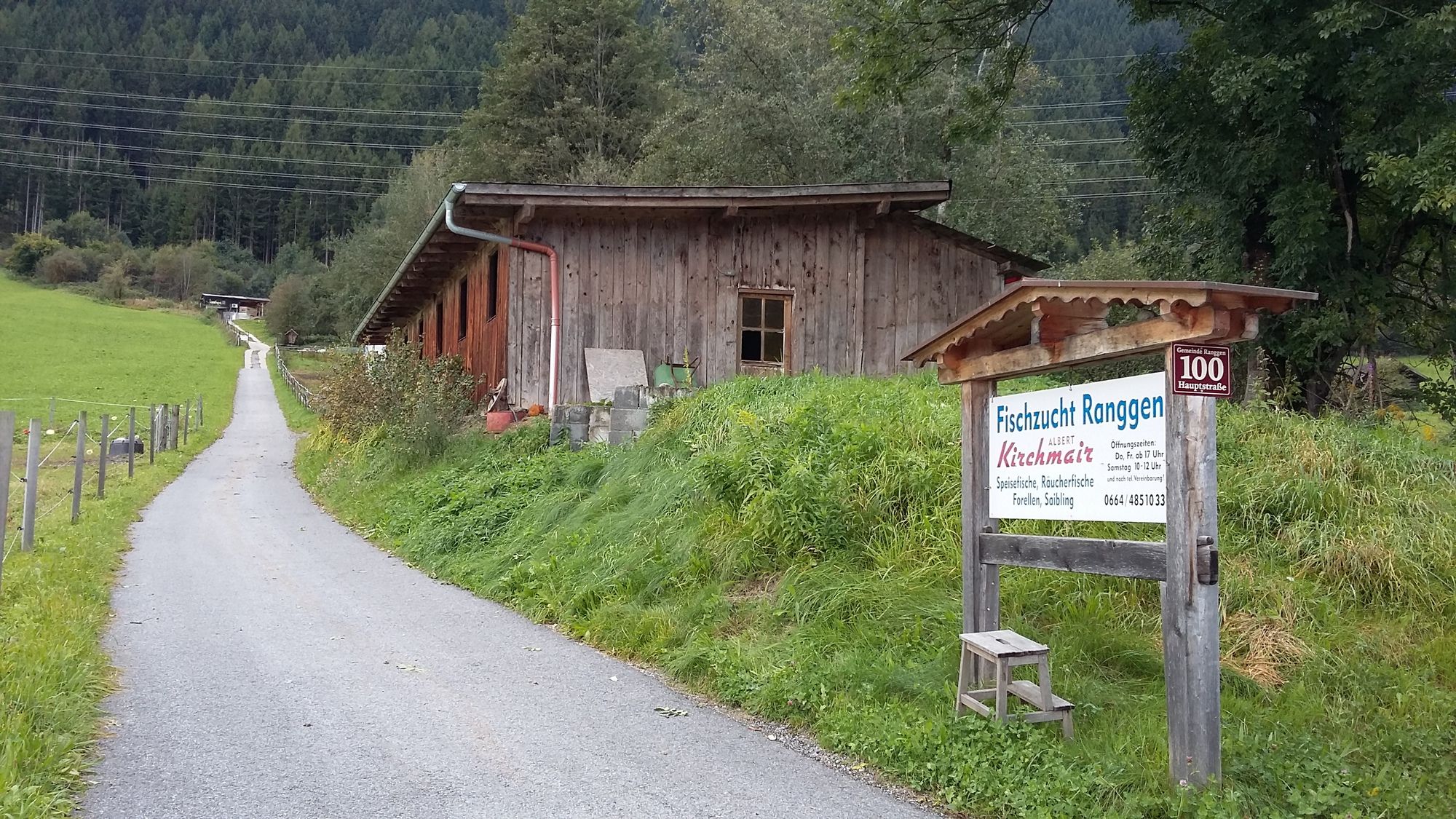
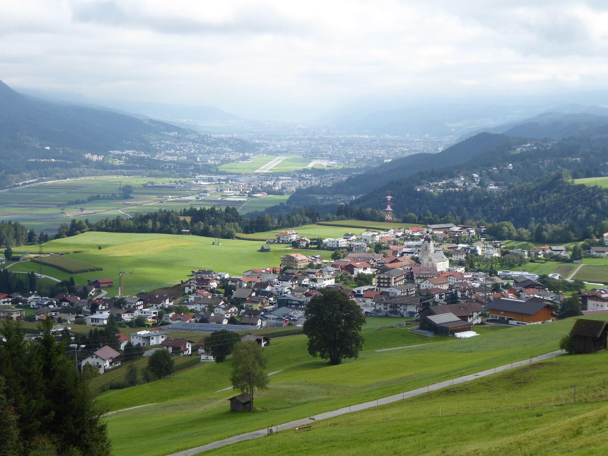
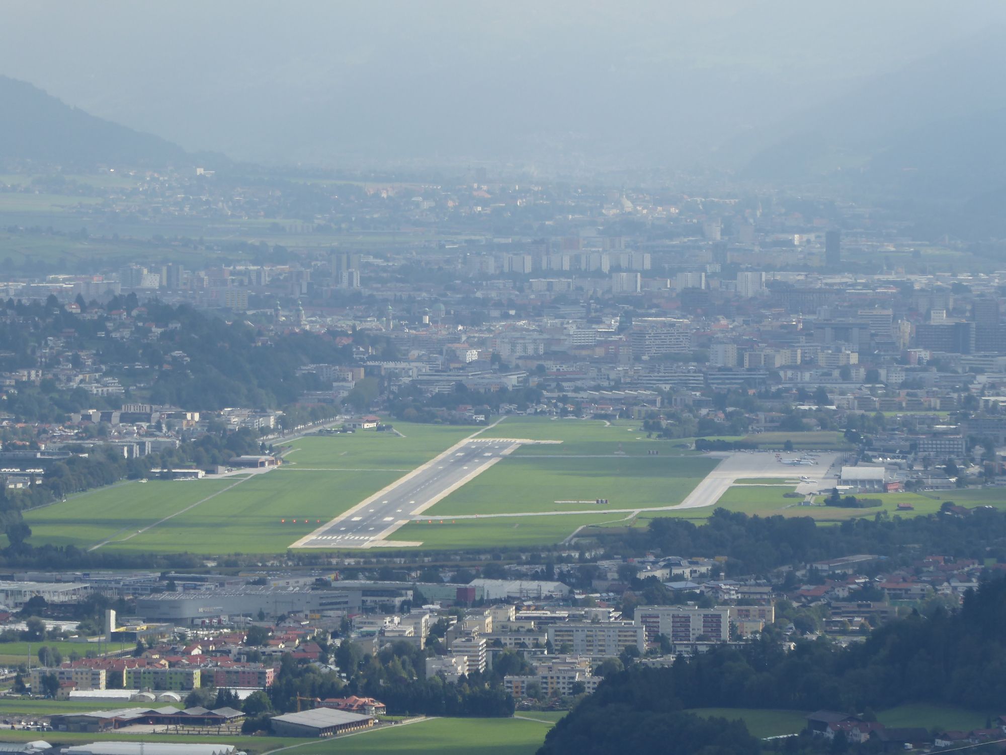
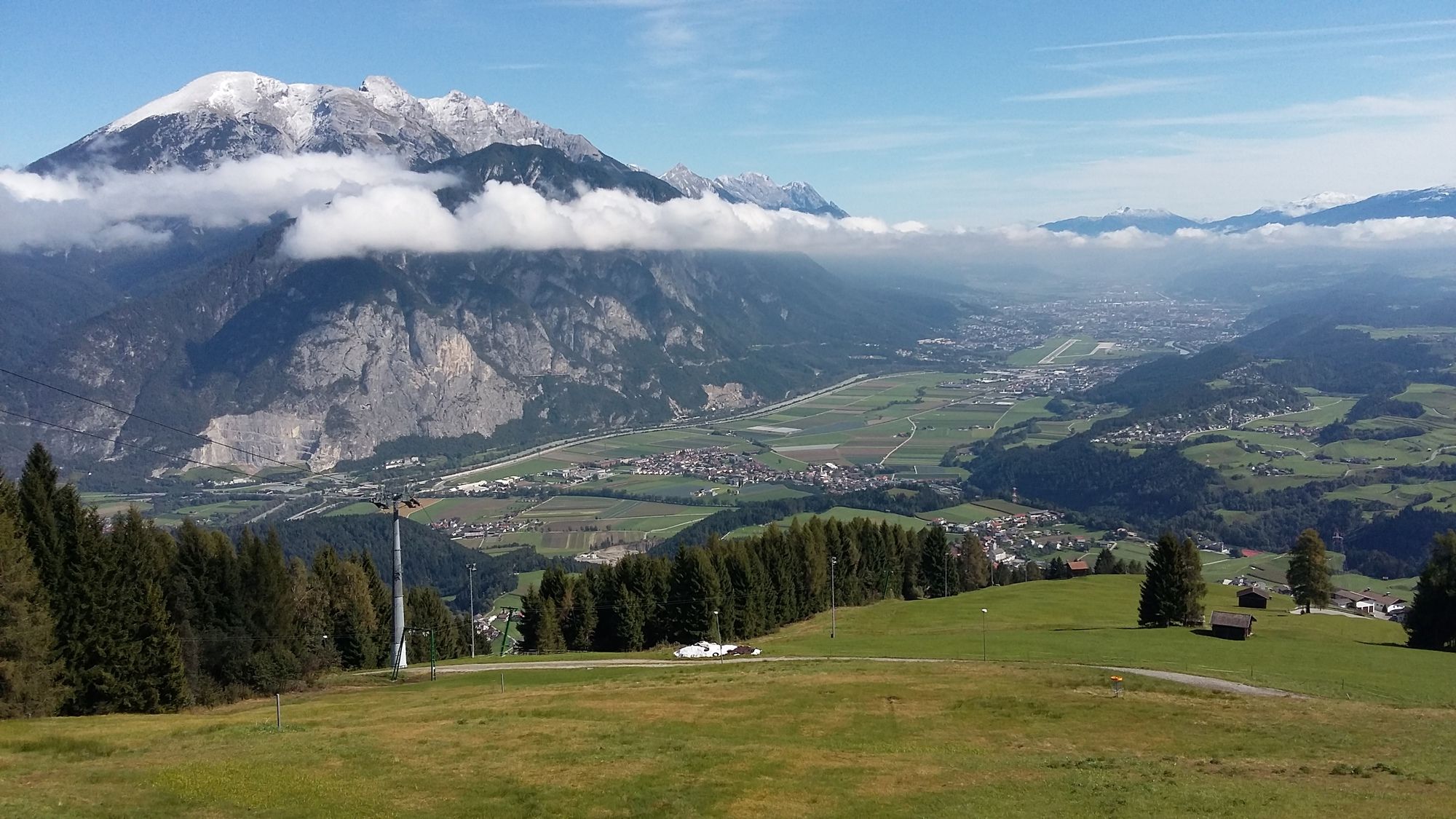
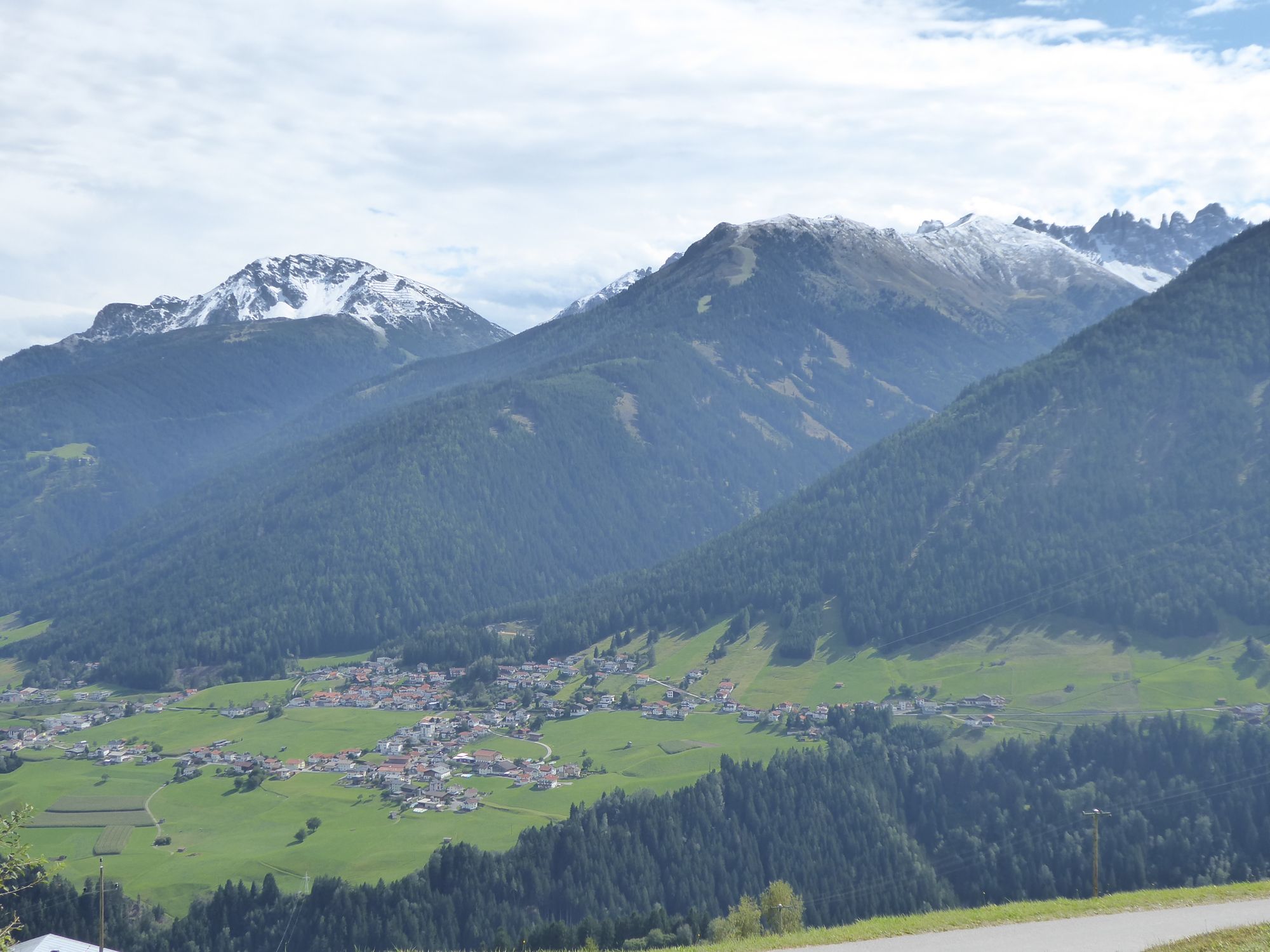
Panoramarestaurant Stieglreith0.1 kmGasthaus Bergheim3.0 kmSt. Josef Kirche3.4 kmMarienkapelle3.7 kmCafe Grünfelder4.5 kmAigen5.8 kmOberperfuss (812 m)6.0 kmKengelscheiben6.1 kmcooking sun8.9 kmNeue Totenkapelle9.3 kmKematen in Tirol (610 m)9.4 kmEvangelische Kreuzkirche11.6 kmVöls (586 m)13.2 kmInnsbruck (574 m)15.8 kmBranger Alm23.4 kmUnterperfuss (596 m)23.5 kmRanggen (826 m)28.6 kmPfarrkirche hl. Magnus28.6 kmPoltenkapelle30.5 kmPanoramarestaurant Stieglreith35.2 km
- Best season
-
JanFebMarAprMayJunJulAugSepOctNovDec
- Highest point
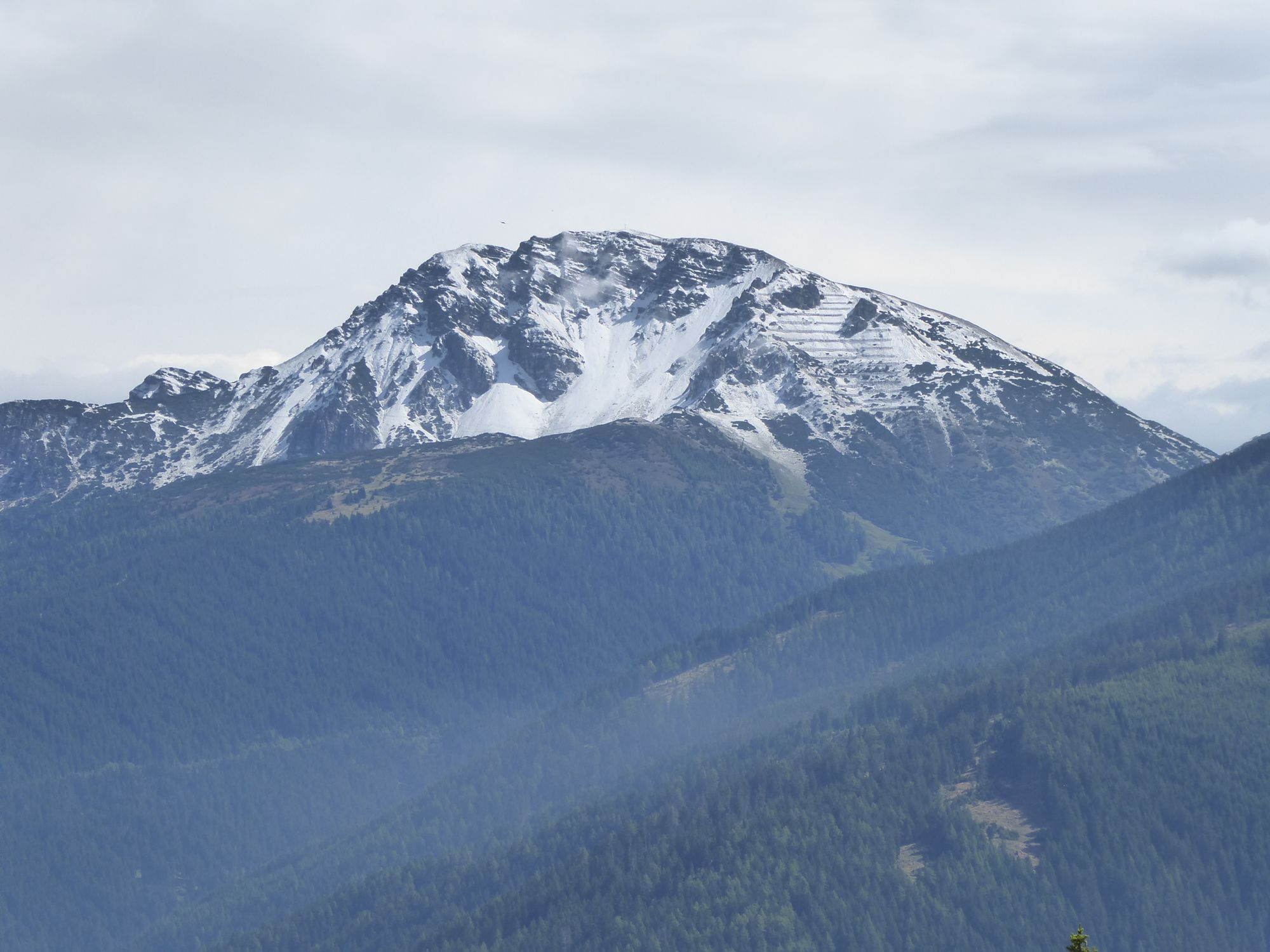
- Stiglreith (1,548 m)
- Endpoint
-
Berggasthof Stiglreith unterhalb des Rangger Köpfels
- Rest/Retreat
-
Stiglreith


GPS Downloads


Surfaces
Asphalt
(23 km)
Gravel
(13 km)
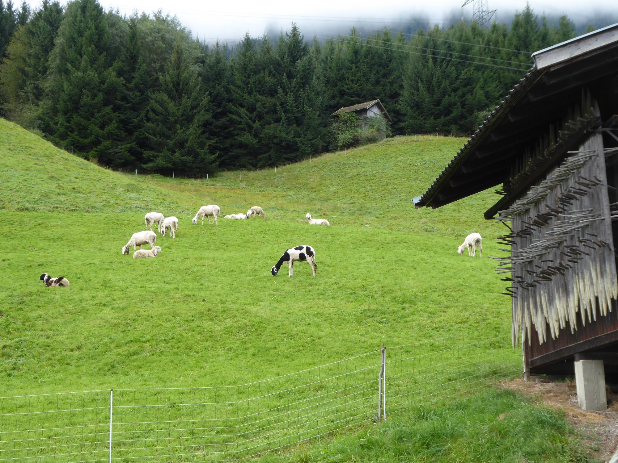
Forest
Mountain paths
Single trails
Trial
Traffic
Other tours in the regions