© Ulrich Drescher

© Ulrich Drescher

© Ulrich Drescher

© Ulrich Drescher

© Ulrich Drescher

© Ulrich Drescher

© Ulrich Drescher

© Ulrich Drescher

© Ulrich Drescher

© Ulrich Drescher
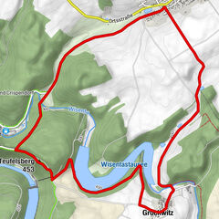
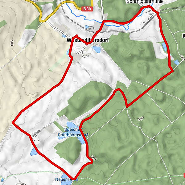
Tour data
7.45km
438
- 509m
93hm
97hm
02:30h
- Brief description
-
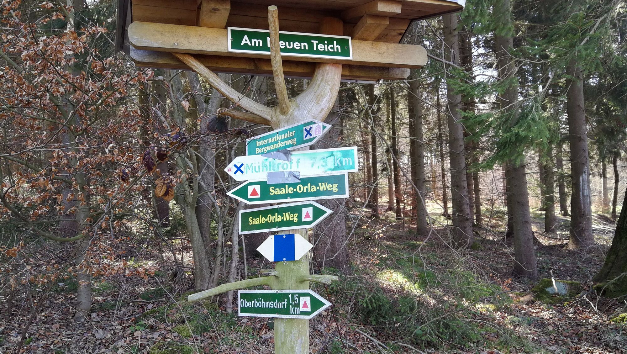
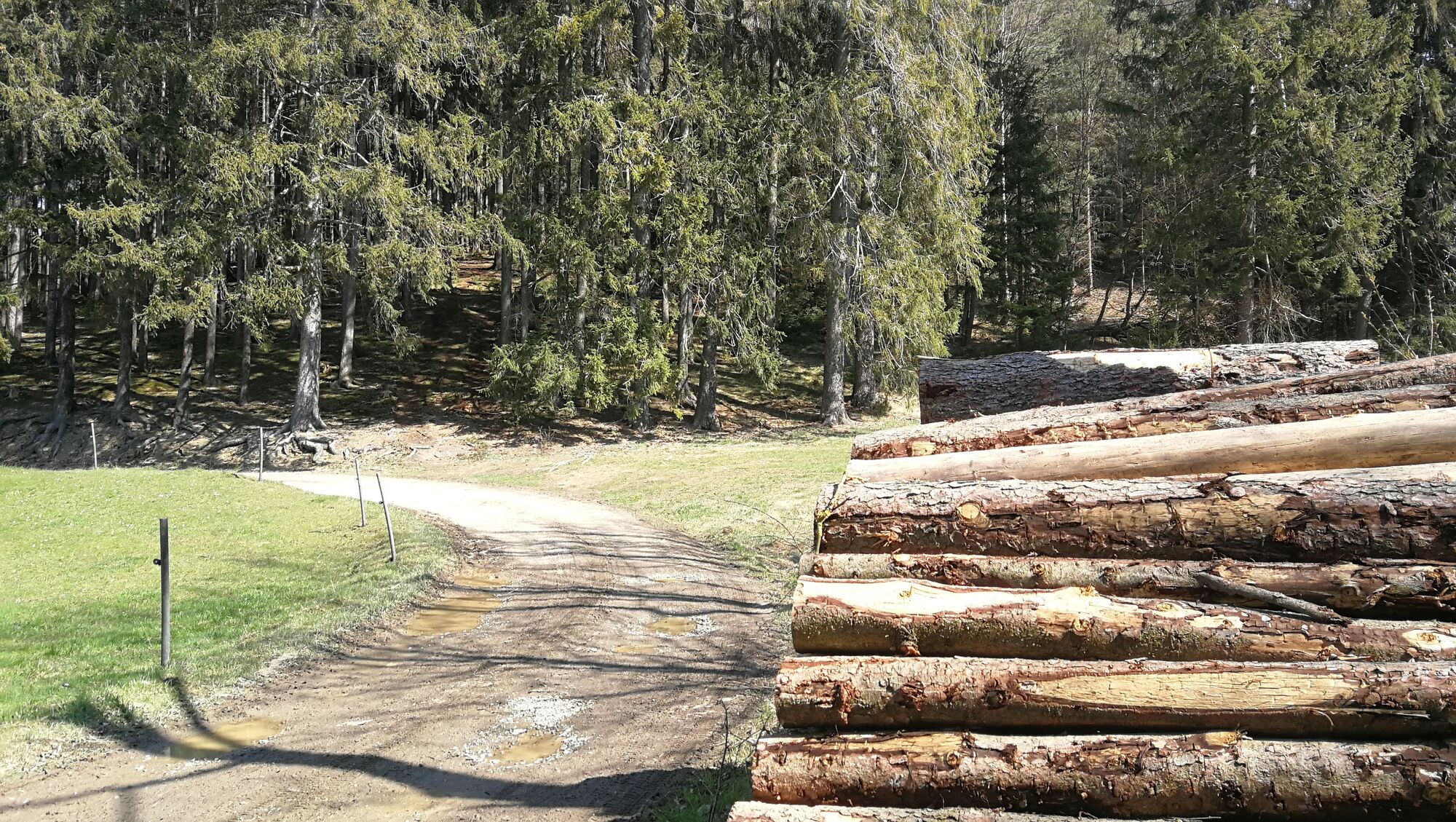
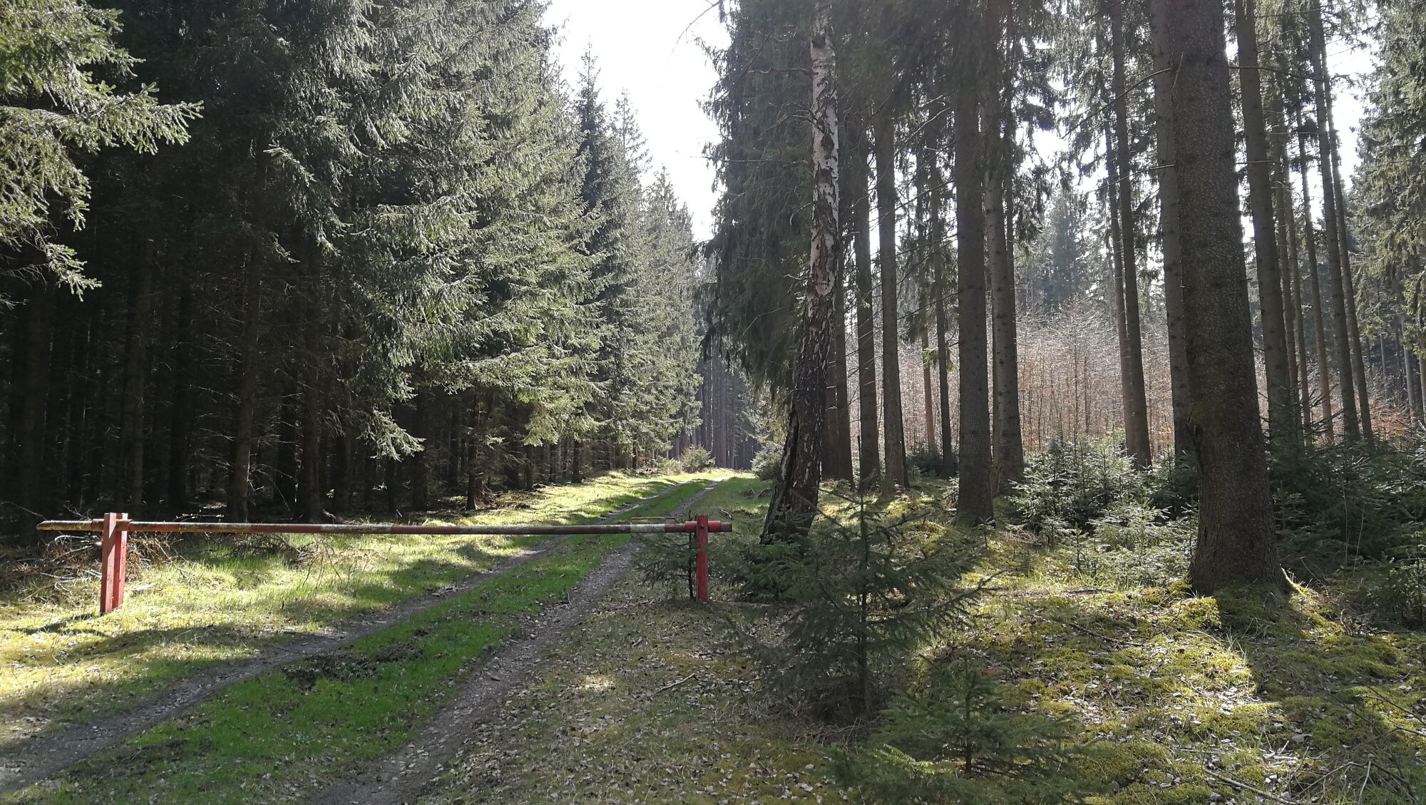
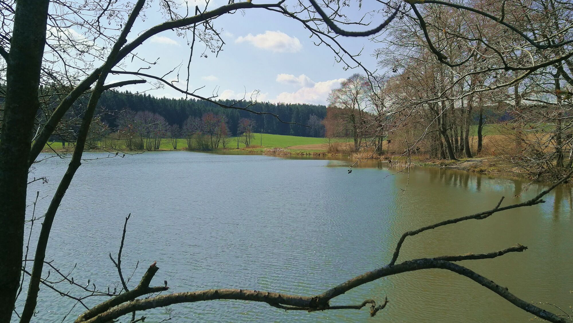
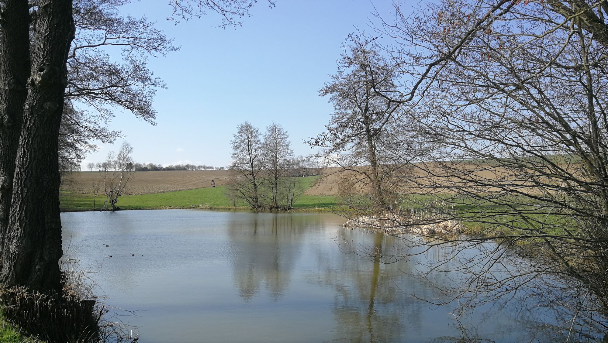
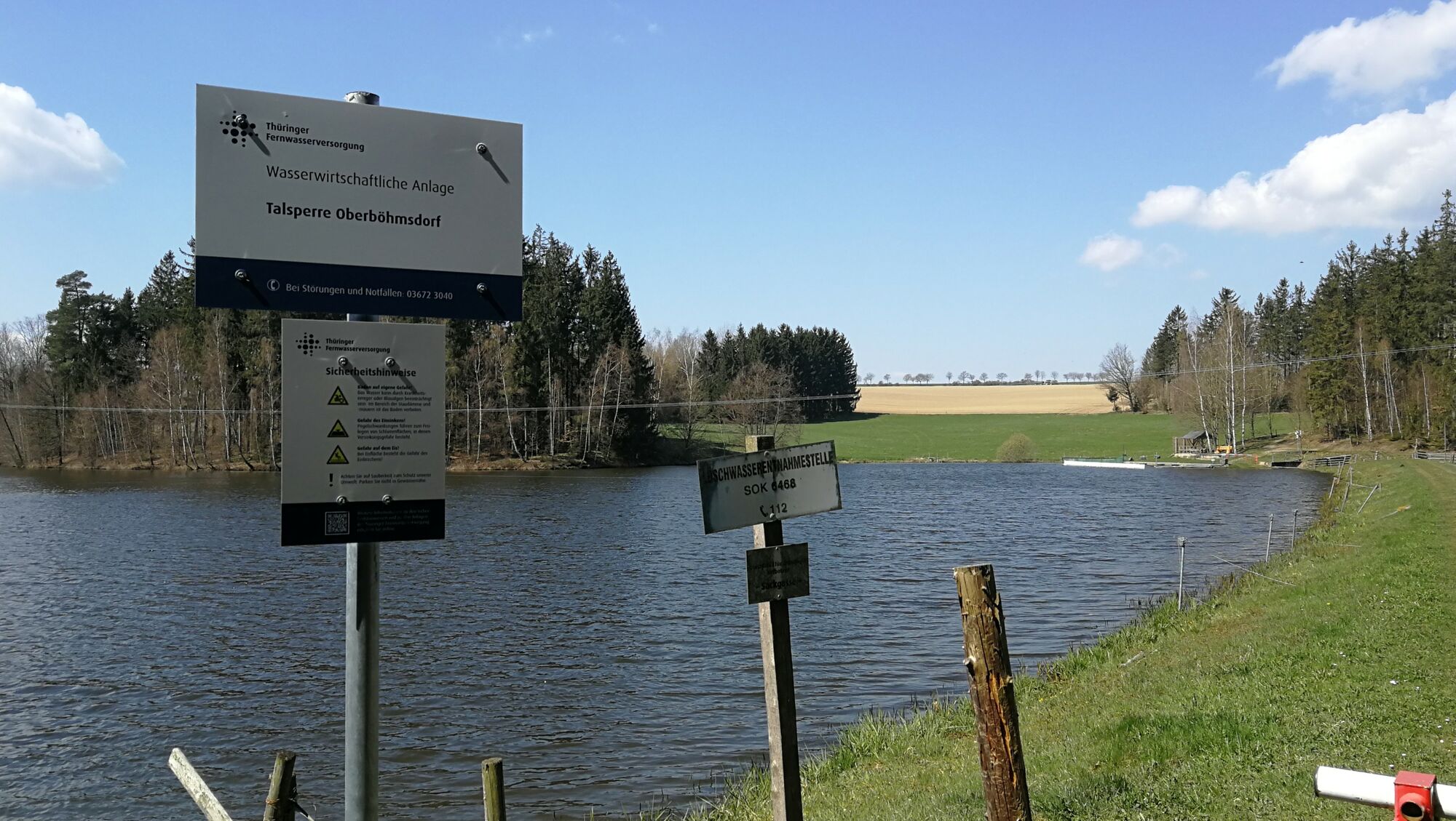
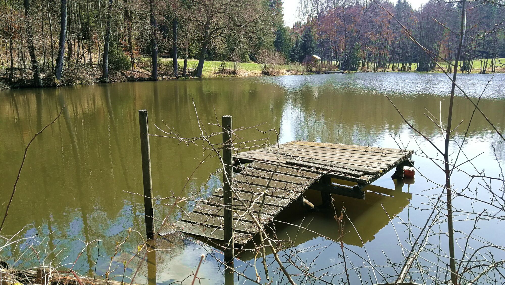
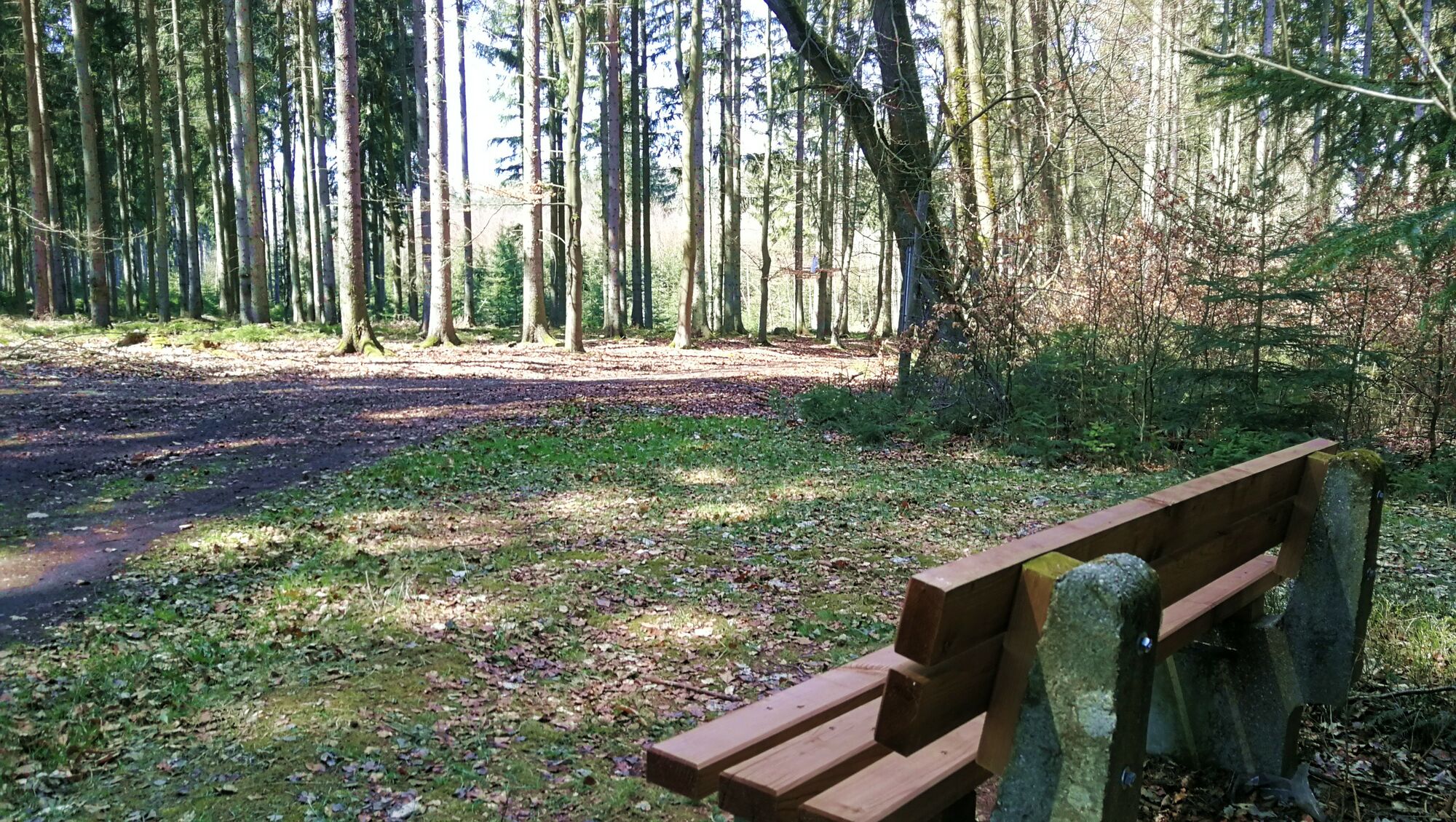
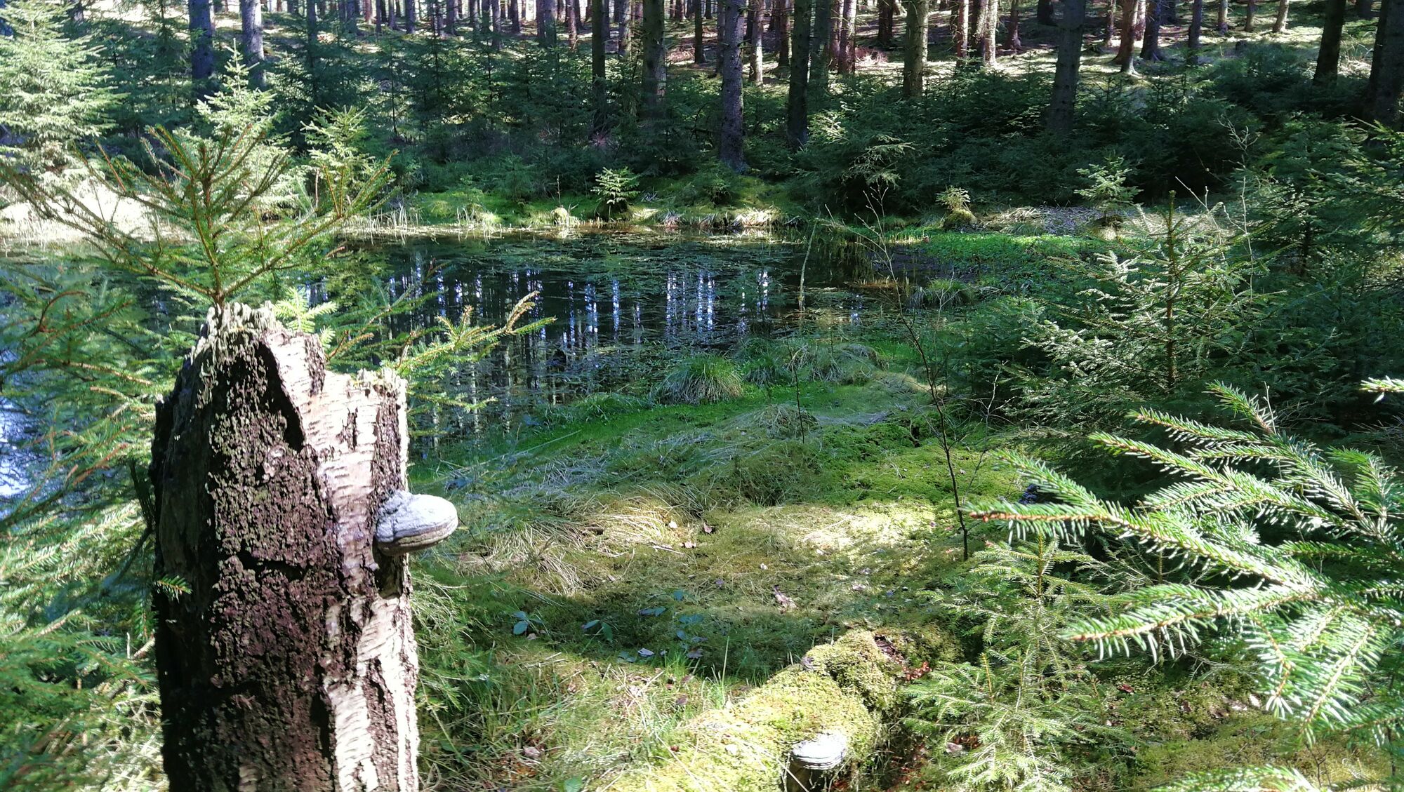
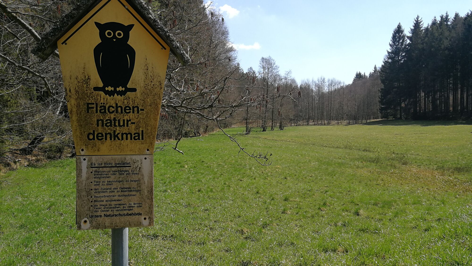
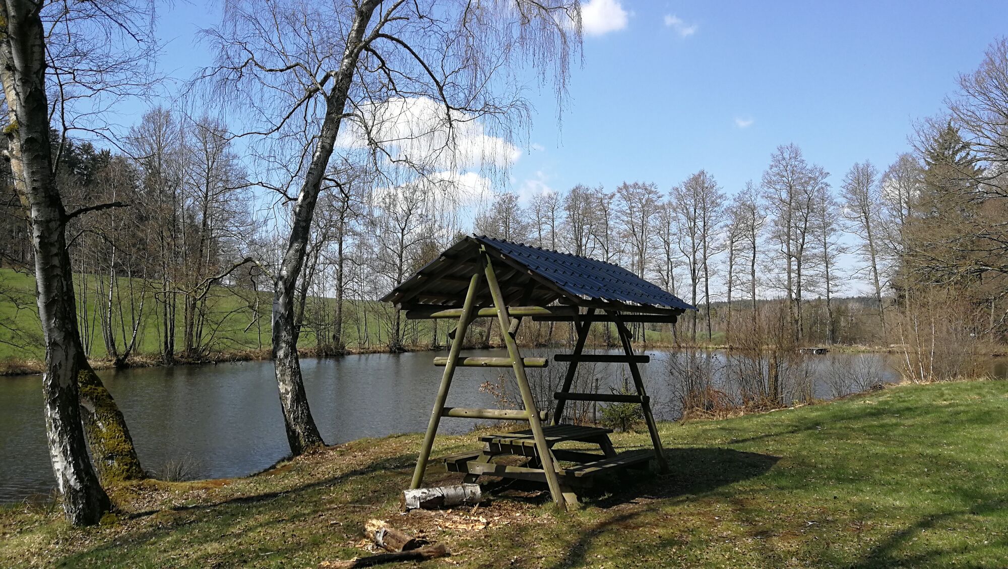
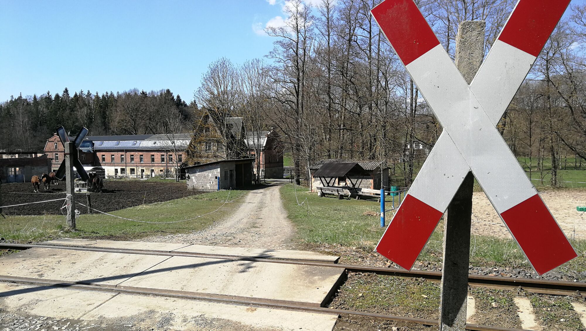
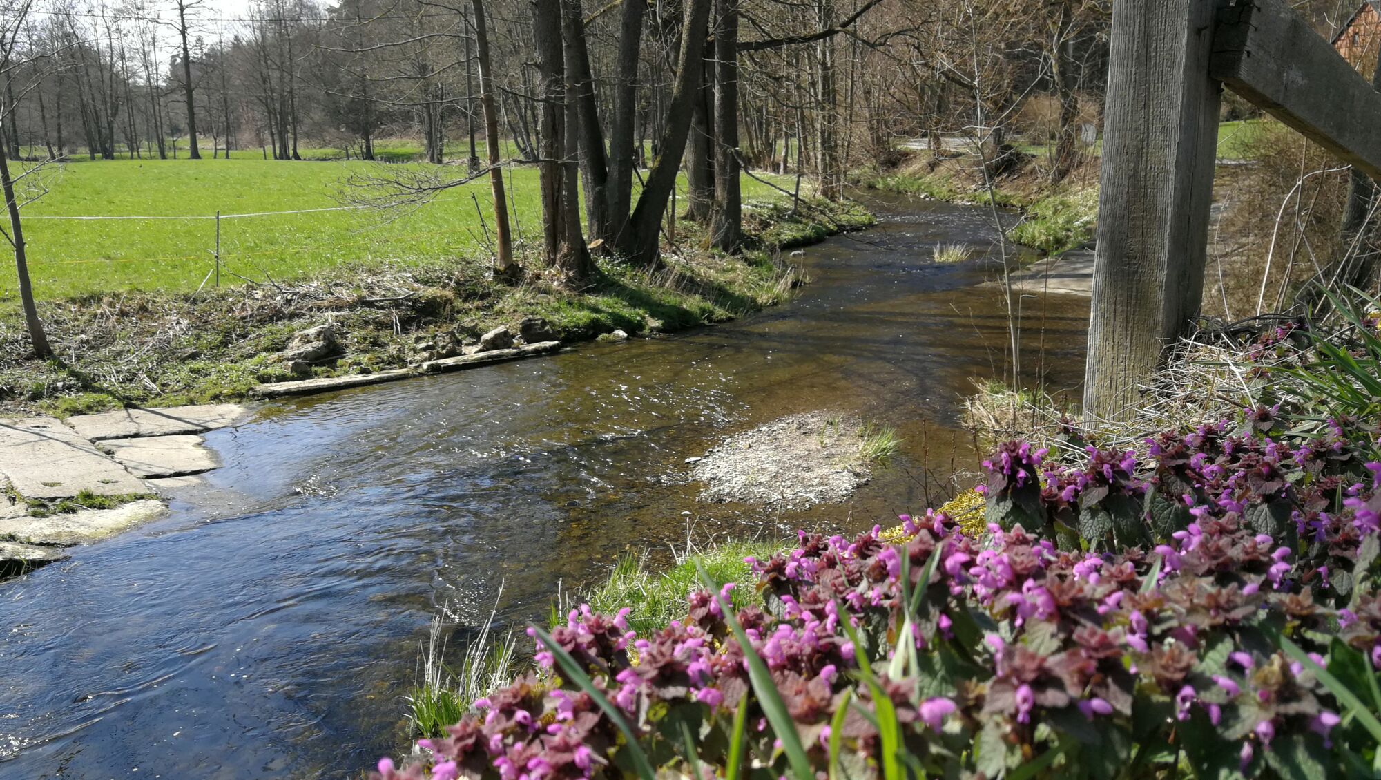
Leichte Rundwanderung von Wüstendittersdorf zum Neuen Teich und zum Speicher Oberböhmsdorf.
- Difficulty
-
easy
- Rating
-
- Starting point
-
Wüstendittersdorf
- Route
-
Wüstendittersdorf0.0 kmSchmidtenmühle6.2 kmWüstendittersdorf7.2 km
- Best season
-
JanFebMarAprMayJunJulAugSepOctNovDec
- Highest point
- 509 m
- Endpoint
-
Neuer Teich
- Information
-
Dieter Kögler, Wanderungen der Volkssolidarität Oberland e.V.
- Source
- Uli D.
GPS Downloads


Other tours in the regions
-
Vogtland / Thüringen
664
-
Schleiz
69