- Brief description
-
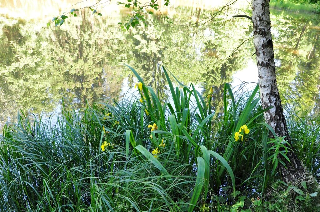
The Schönblickweg is a pleasure walk that is ideal after Sunday coffee or as a family stroll. All age groups are impressed by the fantastic views of the Saale valley!
- Difficulty
-
medium
- Rating
-
- Starting point
-
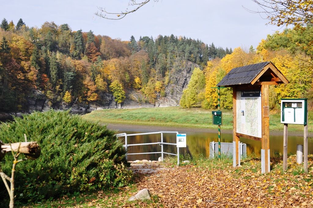
Harra rest island
- Route
-
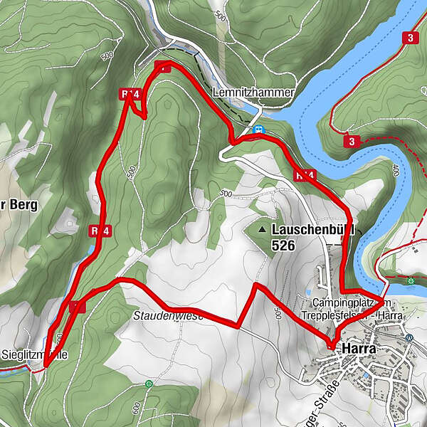
HarraFahrgastschiffahrt (Linie Saalburg-Harra)0.0 kmSchiffsanleger Harra, Personenschifffahrt0.0 kmHarra Nord1.3 kmLemnitzhammer1.6 kmSieglitzmühle4.3 kmHarra6.7 kmFahrgastschiffahrt (Linie Saalburg-Harra)7.0 kmSchiffsanleger Harra, Personenschifffahrt7.0 km
- Best season
-
JanFebMarAprMayJunJulAugSepOctNovDec
- Description
-
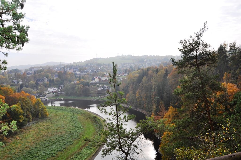
From the Saale bridge we hike to the Marquard rock, a popular photo motif with the Totenfels in the background.
.The path leads us further over a small bridge, under the railway line and past uphill gardens. We follow this path until the beautiful lookout point Totenfels appears on the right. Here you have the most beautiful views of the village of Harra and the Saale valley with the Saale bridge. The hike leads us back past a small seating area across a large meadow in the direction of Lemnitzhammer. We follow this path directly along the railway line until shortly before Lemnitzhammer station, where we have a wonderful view of the Saale arch towards Mühlberg with the vantage points "Agnesruh" and "Marienstein"
.After the Lemnitzhammer railway station, we walk uphill along the main road for a short distance and after about 20 m turn right into a forest path. Follow this for approx. 1.5 km and take the zig-zag path on the right to reach the valley path. On this path we walk uphill past the "leisure centre" to the Sieglitzmühle, also called Pempelmühle. The water-powered mill was still in operation until the 1930s.
We continue to the left up a small ascent across the forest crossing until we reach a refuge. In front of us is the Staudenwiese, two solitary former farms. The path continues past the Staudenwiese to the highest point of our hike. We pause at an old maple tree and enjoy the view of the Saale valley, Harra, Blankenberg and Höllenthal.
We then walk to the left along the field path, after about 400 m we turn right into the valley path. After passing the garden, we reach the centre of the village after a few 100 metres, and then take the Knollenweg down the valley to the starting point of our hike.
- Directions
-
The marking of the path is currently being revised.
- Highest point
- 532 m
- Endpoint
-
Harra rest island
- Height profile
-
 © outdooractive.com
 - Equipment
-
Sturdy shoes are highly recommended.
- Author
-
The tour Schönblickweg is used by outdooractive.com provided.


General info
-
Vogtland / Thüringen
666
-
Frankenwald
247
-
Bad Lobenstein
117