Circular hiking trail - Mushroom Experience Trail Gräfenwarth - Thuringia


- Brief description
-
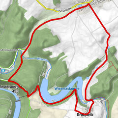
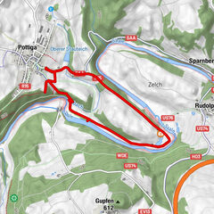
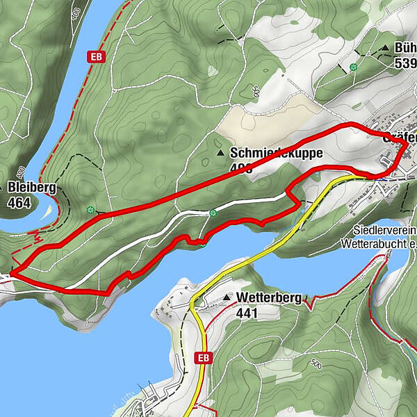
On the 5.4 km long circular trail with beautiful views of the Bleiloch reservoir, you will learn many interesting things about mushrooms.
. - Difficulty
-
medium
- Rating
-
- Starting point
-
Car park at the entrance to Gräfenwarth
- Route
-
GräfenwarthMariechenblick0.7 kmUnterer Wetterablick1.2 kmSt. Martin4.9 kmGräfenwarth5.0 kmGasthaus zur Post5.1 km
- Best season
-
JanFebMarAprMayJunJulAugSepOctNovDec
- Description
-
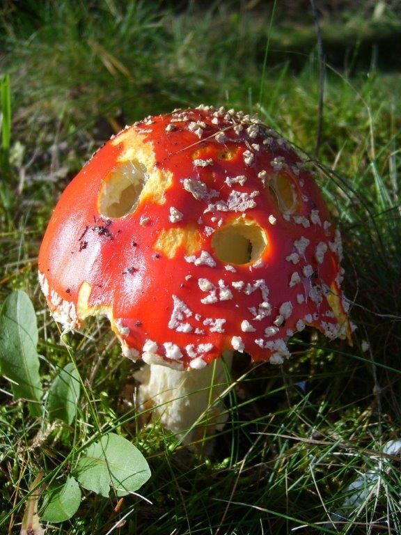
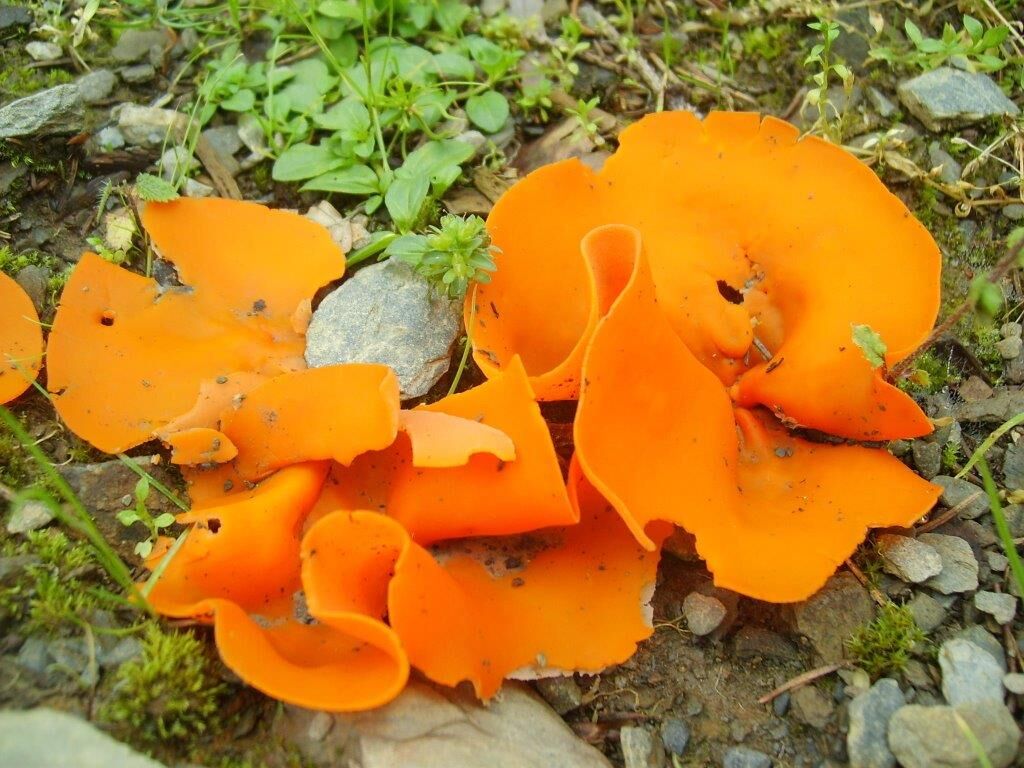
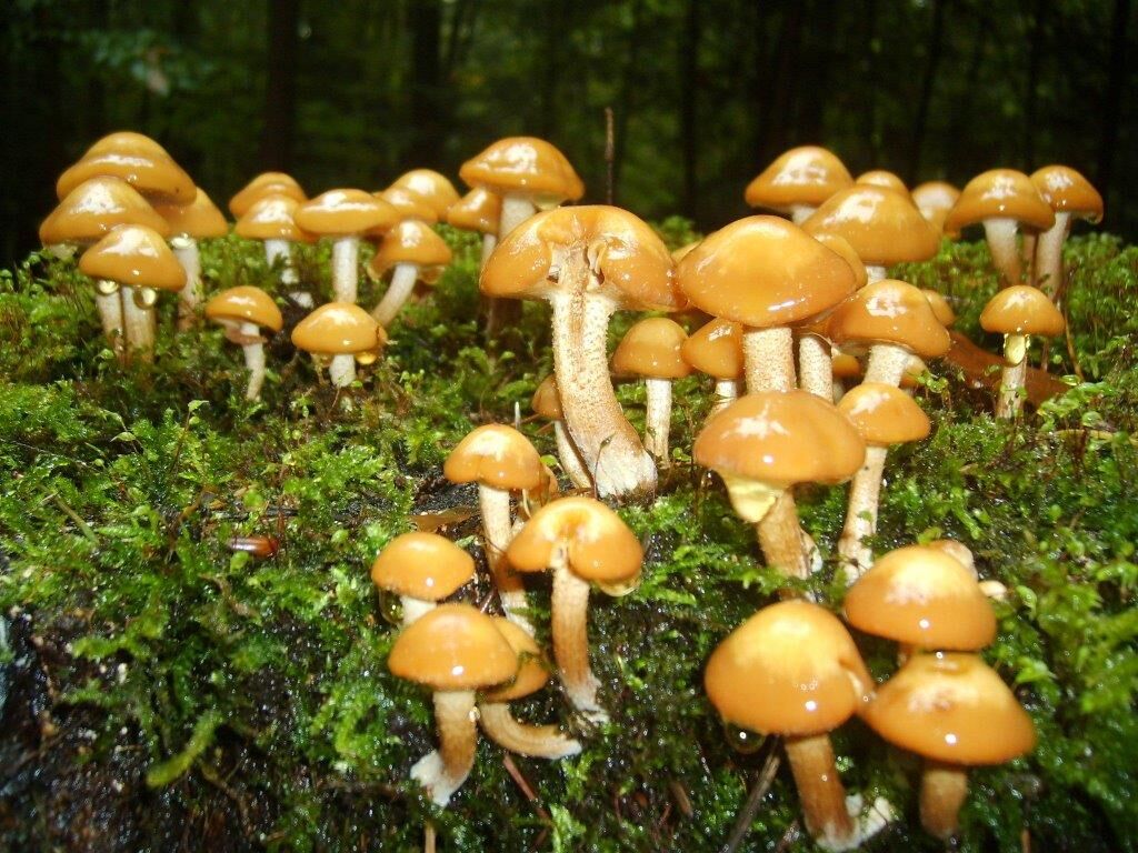
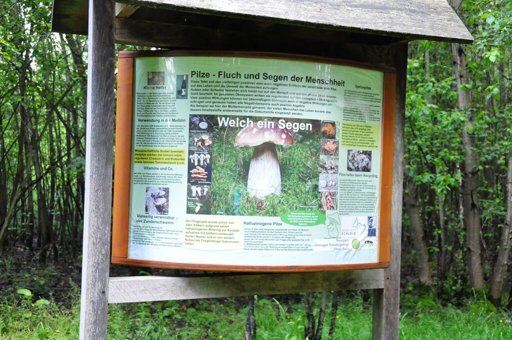
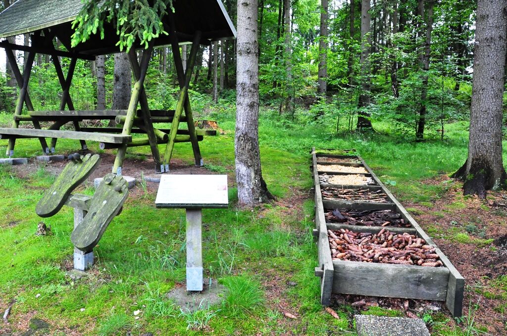
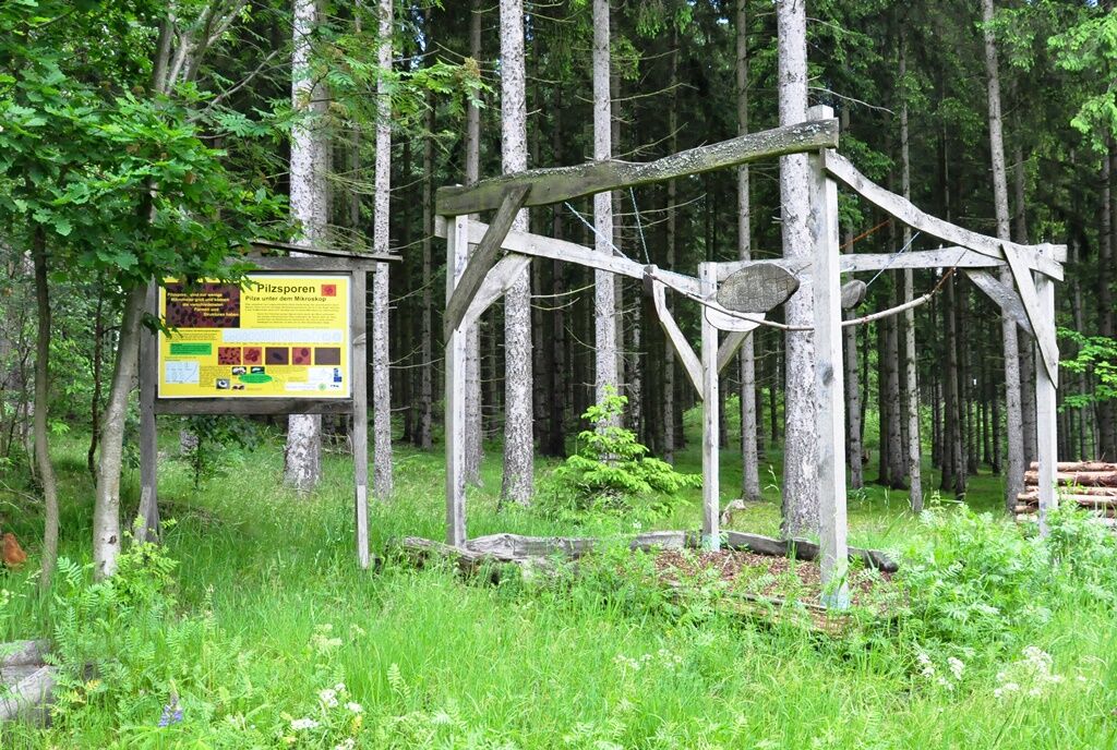
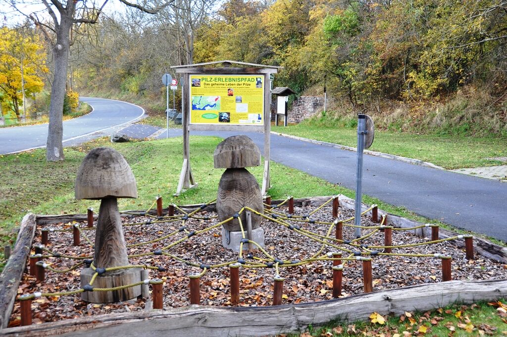
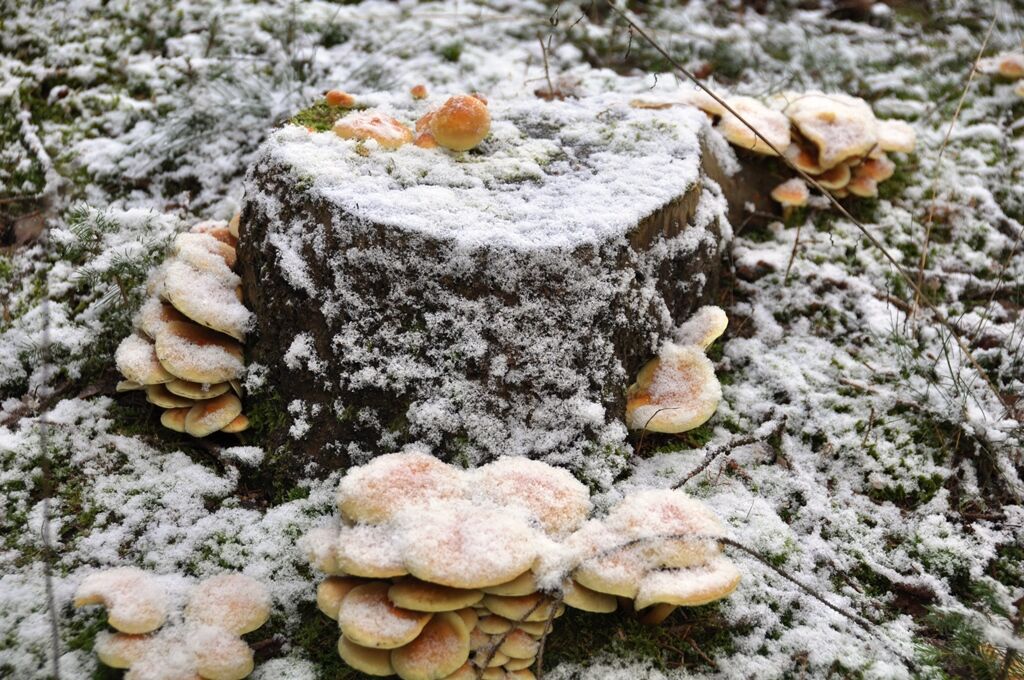
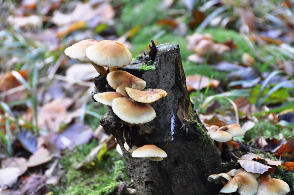
On the 5.4 km long circular trail on the shores of the Bleiloch reservoir, you can experience the construction, development and diversity of mushrooms at 13 different stations. The trail not only provides information, but also offers a chance to try them out.
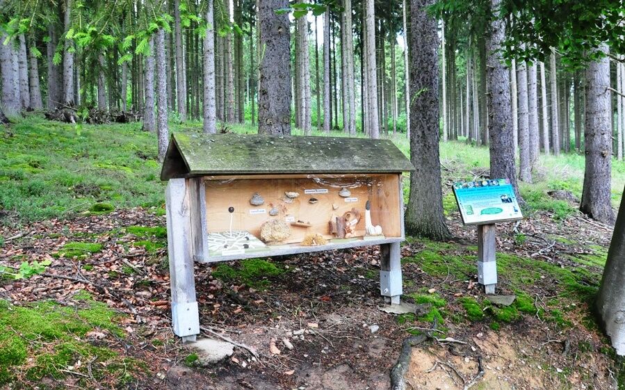
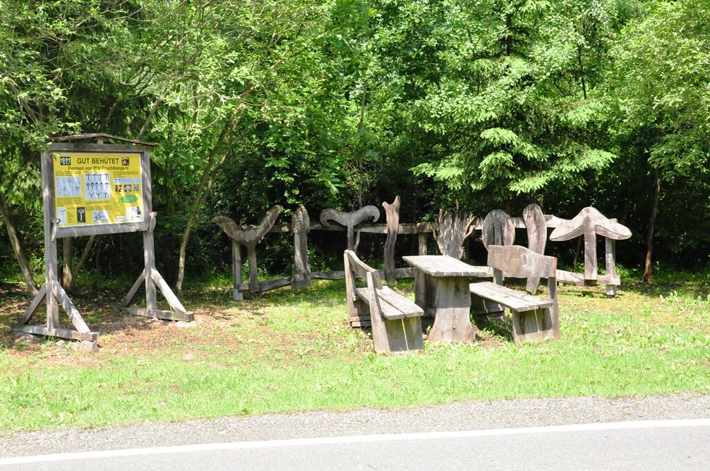
Starting at the hikers' car park at the entrance to Gräfenwarth with a mushroom mycelium made of ropes, you can trace the life of mushrooms. Oversized mushroom hats, mushroom stems or mushroom spores made of wood bring the diversity of mushroom shapes close at various stations. In the "fairy tale room" you can learn about the mythology and legends surrounding mushrooms. Fairy tales written especially for the adventure trail deal with how mushrooms got their appearance. The functions of mushrooms in the ecosystem or topics such as athlete's foot, mould or radioactivity are also vividly demonstrated.
Marking the way: friendly mushroom face
- Directions
-
Parking lot at the entrance to Gräfenwarth -
- Highest point
- 481 m
- Endpoint
-
Car park at the entrance to Gräfenwarth
- Height profile
-
 © outdooractive.com
 - Equipment
-
Sturdy shoes
rainwear
Beverage reserve
First aid kit
GPS navigation device or smartphone - Safety instructions
-
Be aware of the typical dangers of the forest! Walking the hiking trail and using the adventure sites is at your own risk!
Avoid stepping on moss-covered stones and rocks because of the danger of slipping and watch out for deadwood, branches and fallen trees.Any liability is declined! - Tips
-
And by the way, you can enjoy magnificent views of the Saale.
- Additional information


- Author
-
The tour Circular hiking trail - Mushroom Experience Trail Gräfenwarth - Thuringia is used by outdooractive.com provided.


General info
-
Vogtland / Thüringen
666
-
Schleiz
69