Tour data
4.22km
425
- 488m
94hm
107hm
02:00h
- Brief description
-
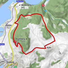
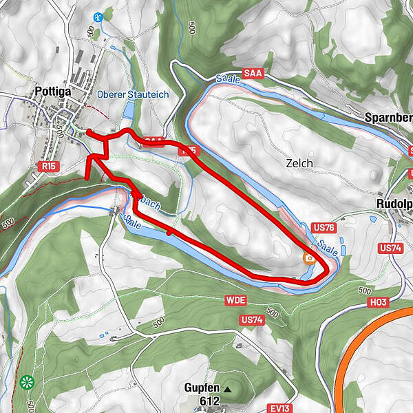
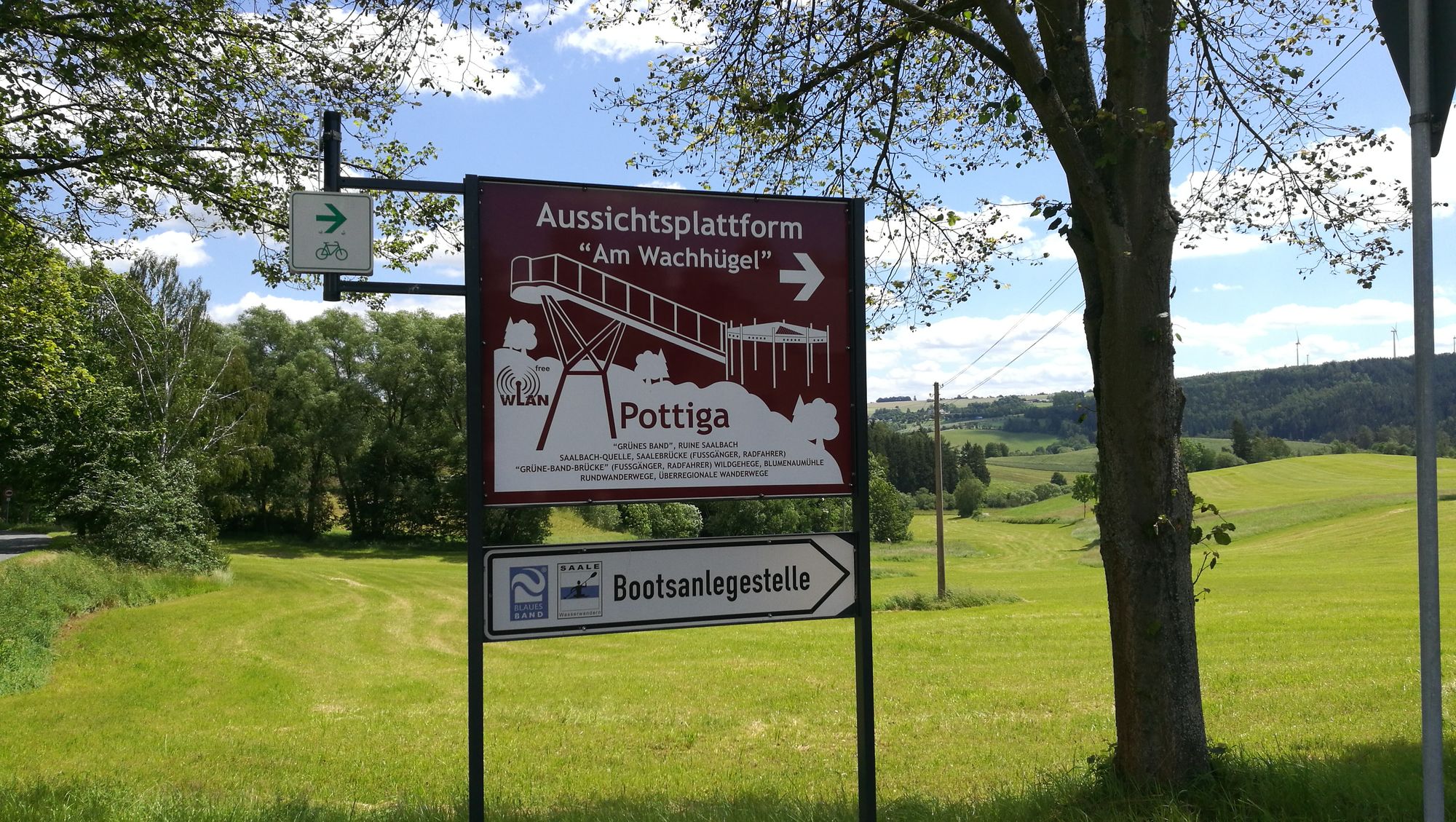
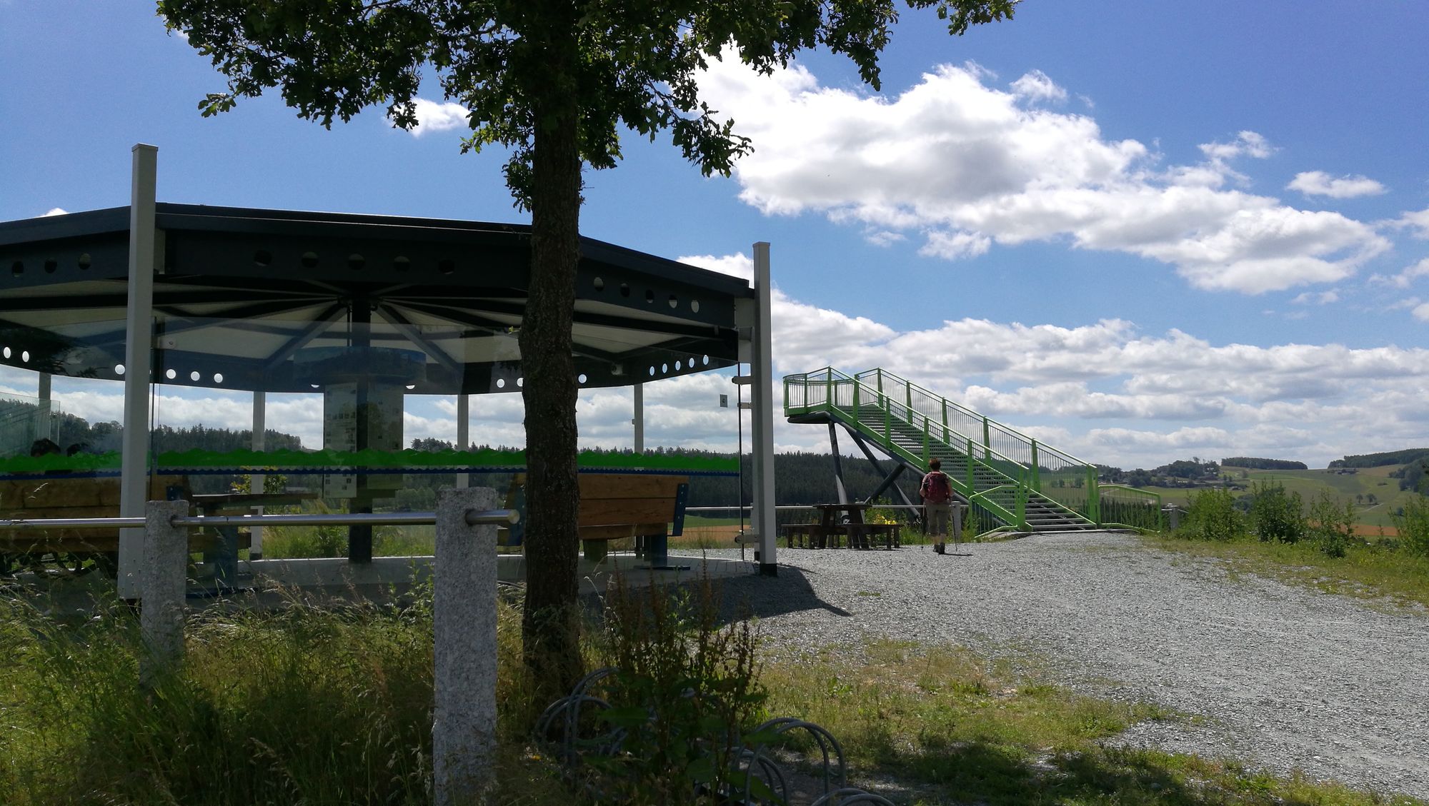
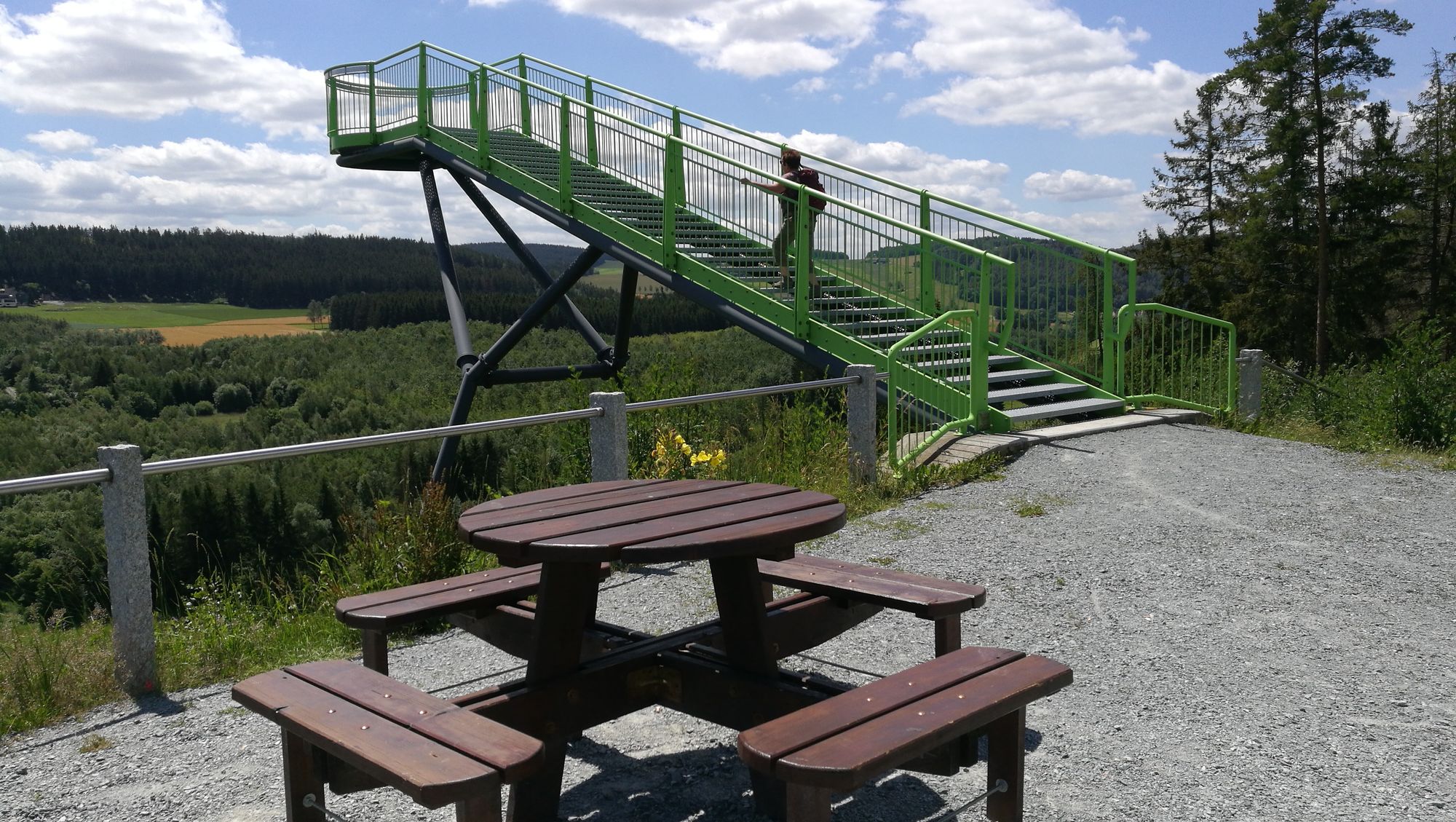
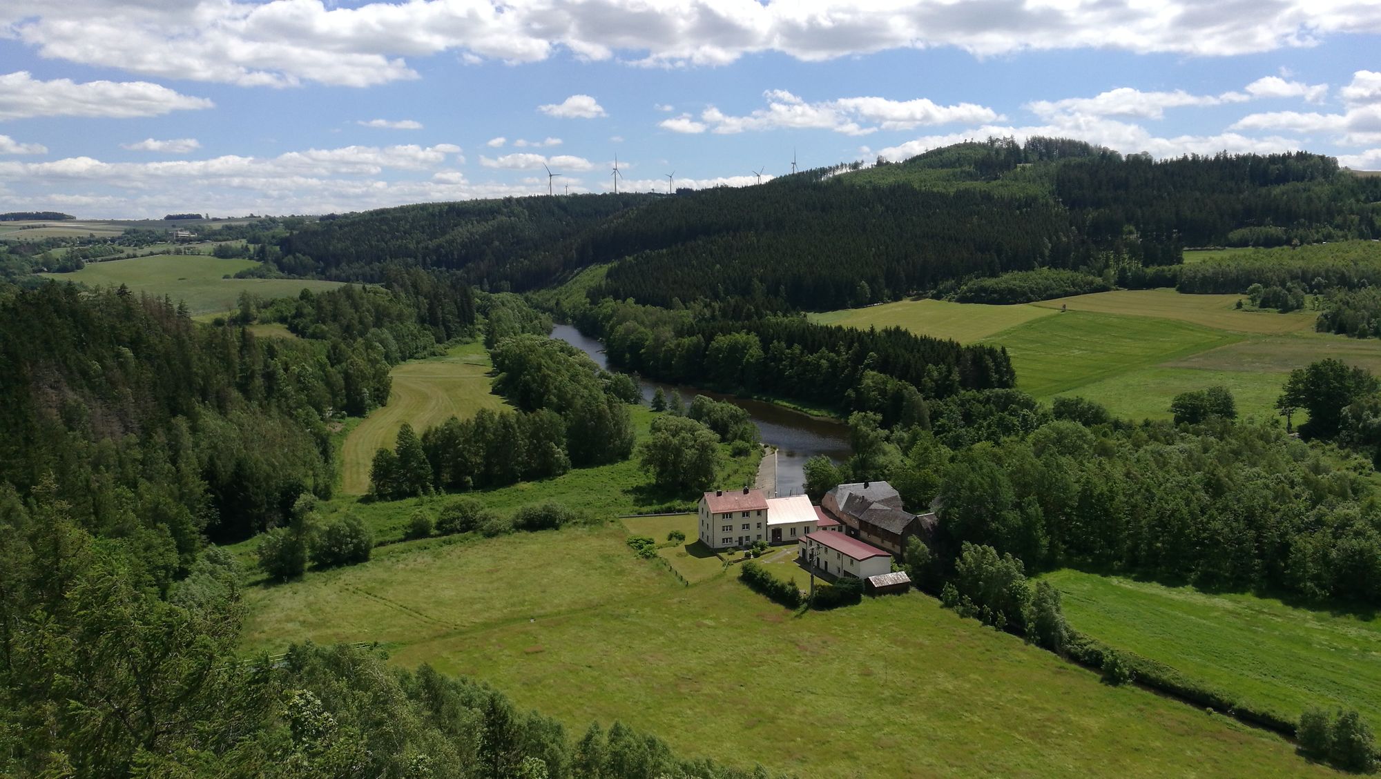
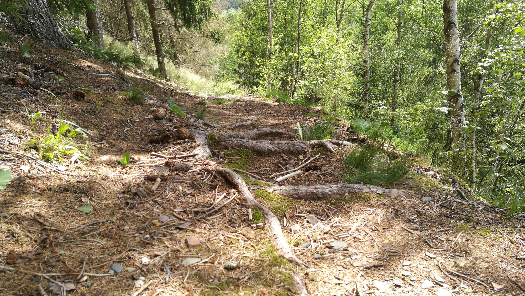
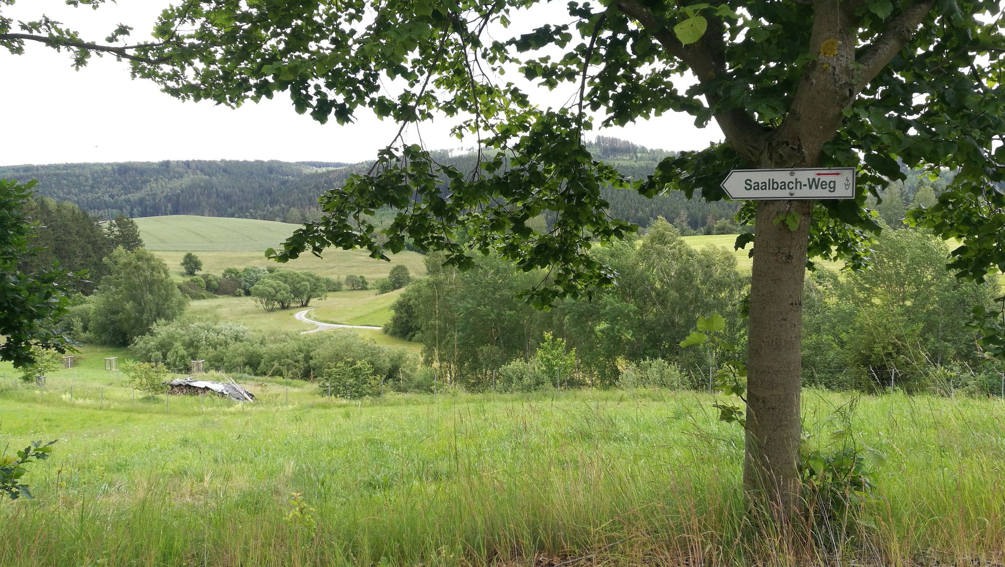
Ein leichter Rundwanderweg zum Skywalk bei Pottiga und entlang des Saalebogens.
- Difficulty
-
easy
- Rating
-
- Starting point
-
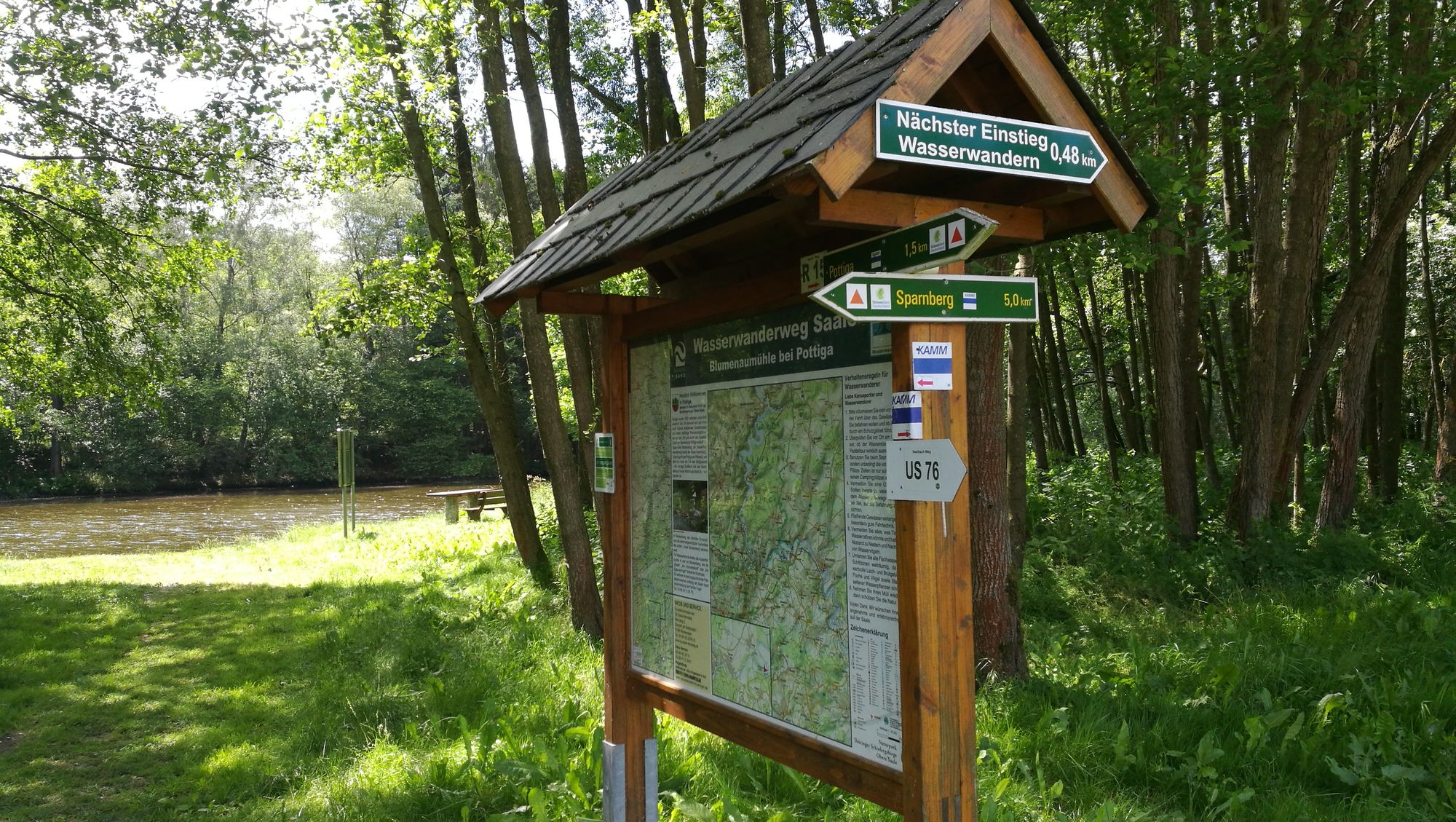
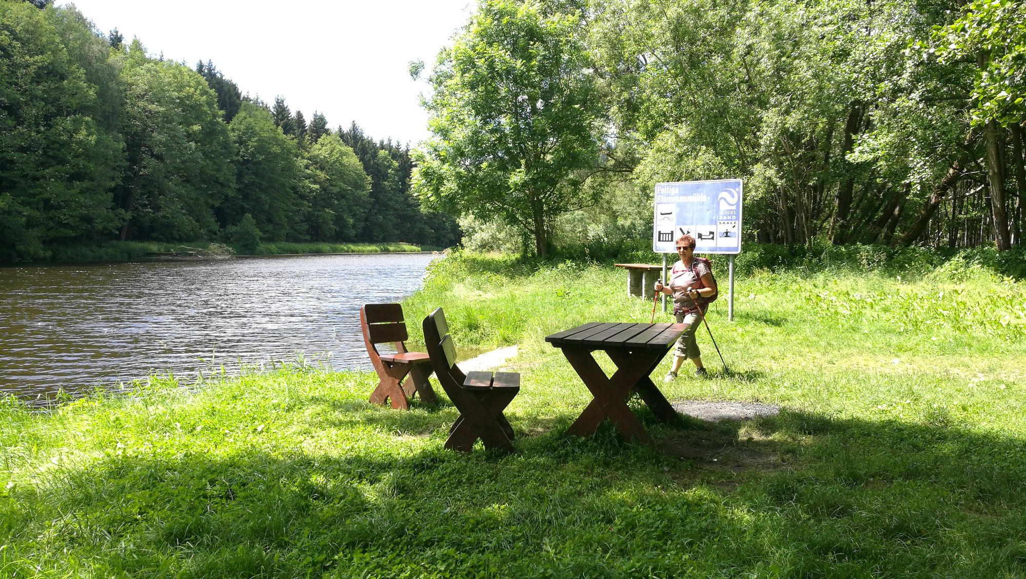
Pottiga
- Route
-
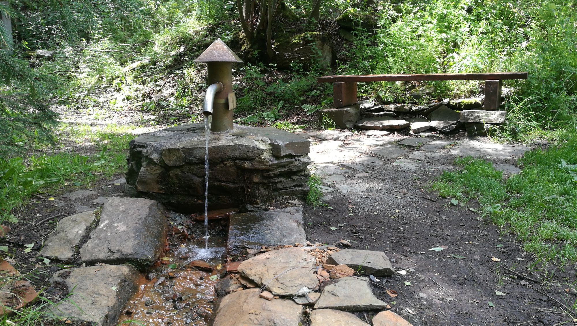
PottigaAussichtsplattform am Wachhügel0.4 kmSaalbachquele2.6 kmPottiga4.2 km
- Best season
-
JanFebMarAprMayJunJulAugSepOctNovDec
- Highest point
- 488 m
- Endpoint
-
Grünes Band
- Information
-
Dieter Kögler, Wanderungen der Volkssolidarität Oberland e.V.


- Source
- Uli D.
GPS Downloads


Other tours in the regions
-
Vogtland / Thüringen
666
-
Blankenstein
89