Circular hike - "Sechs-Kuppen-Steig" - Steinach - Thuringian Forest


- Brief description
-
Beautiful views of the region combined with traditional handicrafts along the way and many places to stop for refreshments make this circular walk perfect for young and old.
- Difficulty
-
medium
- Rating
-
- Starting point
-
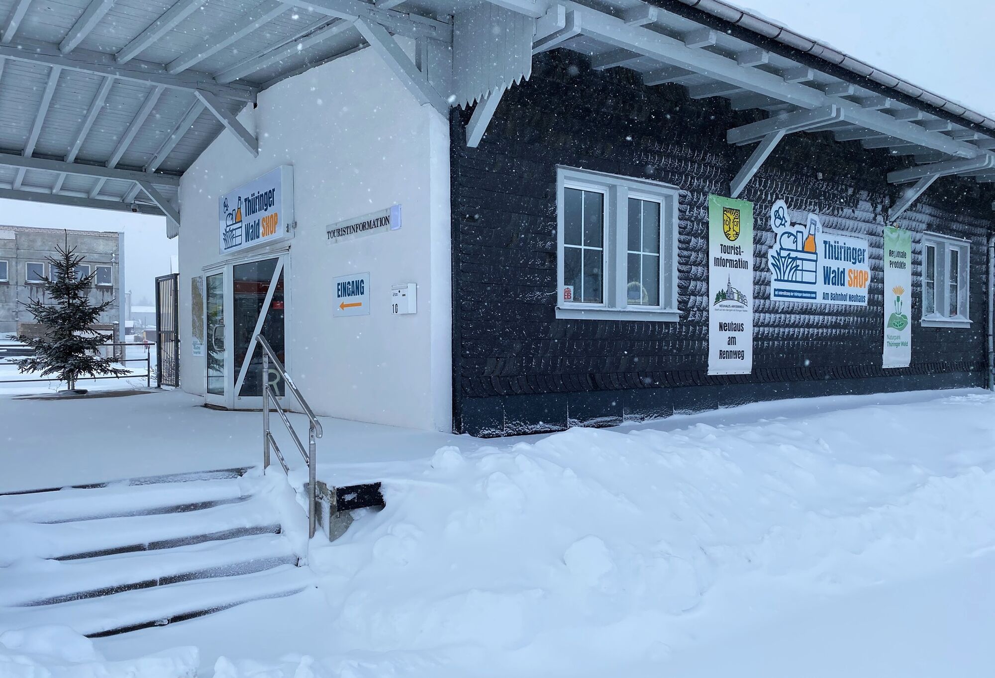
Neuhaus am Rennweg
- Route
-
Neuhaus am Rennweg0.2 kmErnstthal3.2 kmLauscha8.1 kmBergmannsklause11.3 kmTierberg-Großhütte11.7 kmSteinach15.3 kmSportgasthof am Fellberg (Postbaude)17.1 kmFellberg-Großhütte20.0 kmKarlsblick20.7 kmFellberg (842 m)21.0 kmStockwiese24.6 kmSteinheid26.4 kmSandberg (834 m)28.6 kmSteinheider Hütte am Sandwieschen29.6 kmAm Rollkopf30.3 kmRollkopf (849 m)30.6 kmNeuhaus am Rennweg34.0 kmVereinsquelle " Thüringerwald Verein Neuhaus e.V."34.2 kmMehlgeräum36.6 km
- Best season
-
JanFebMarAprMayJunJulAugSepOctNovDec
- Description
-
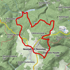
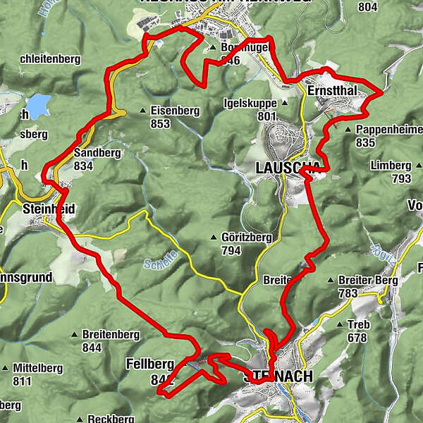
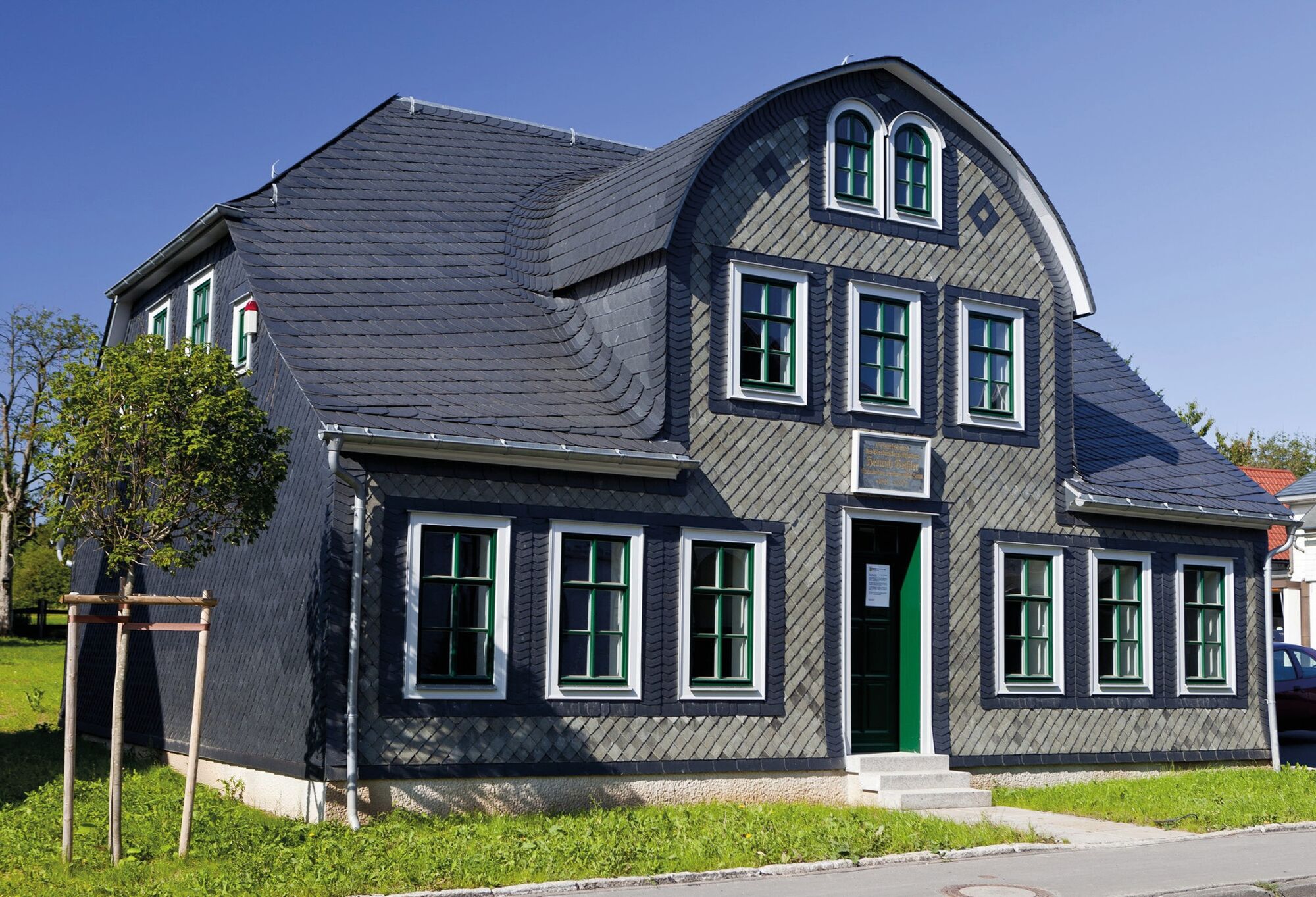
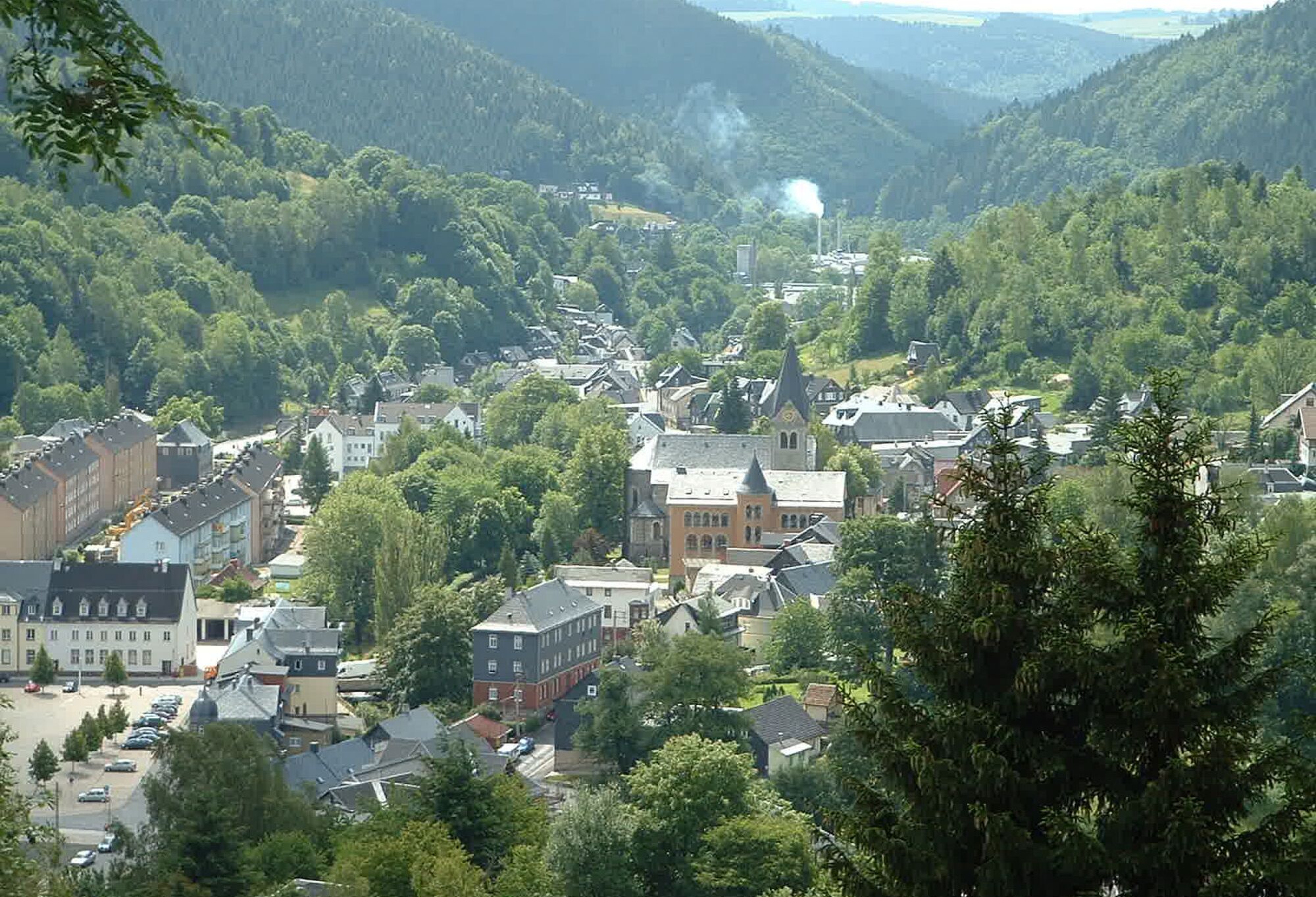
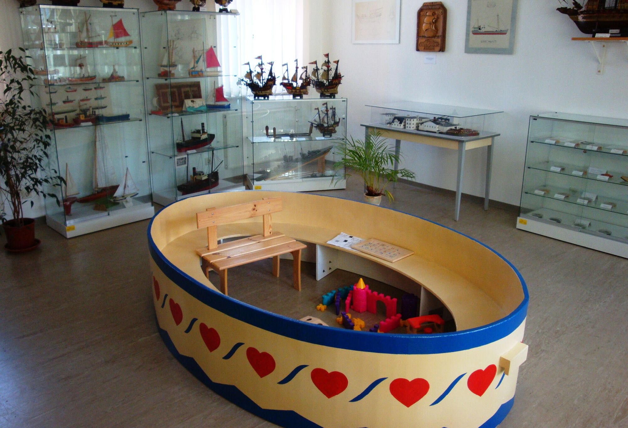
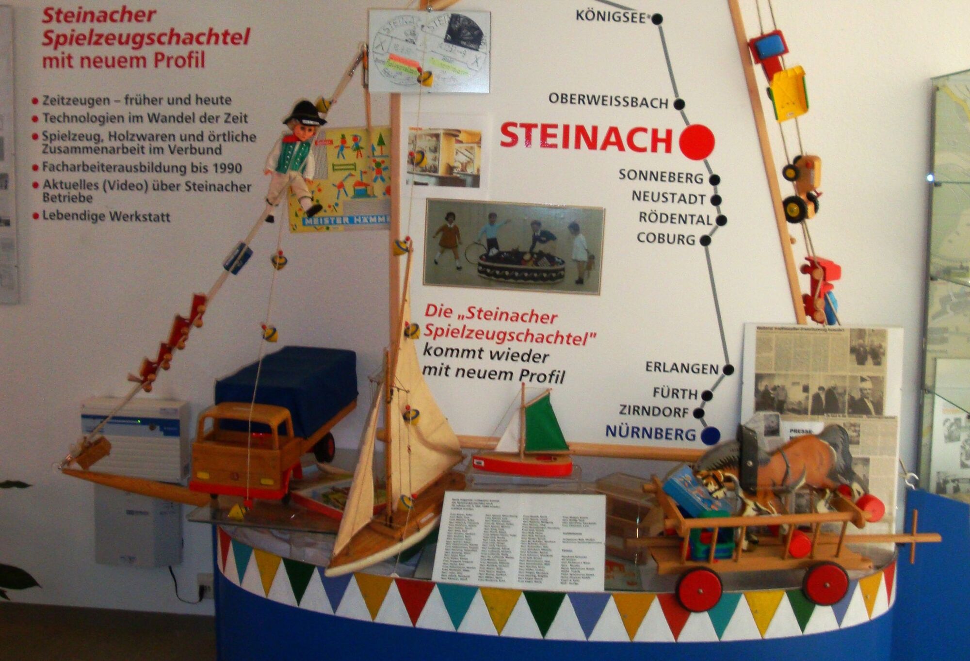
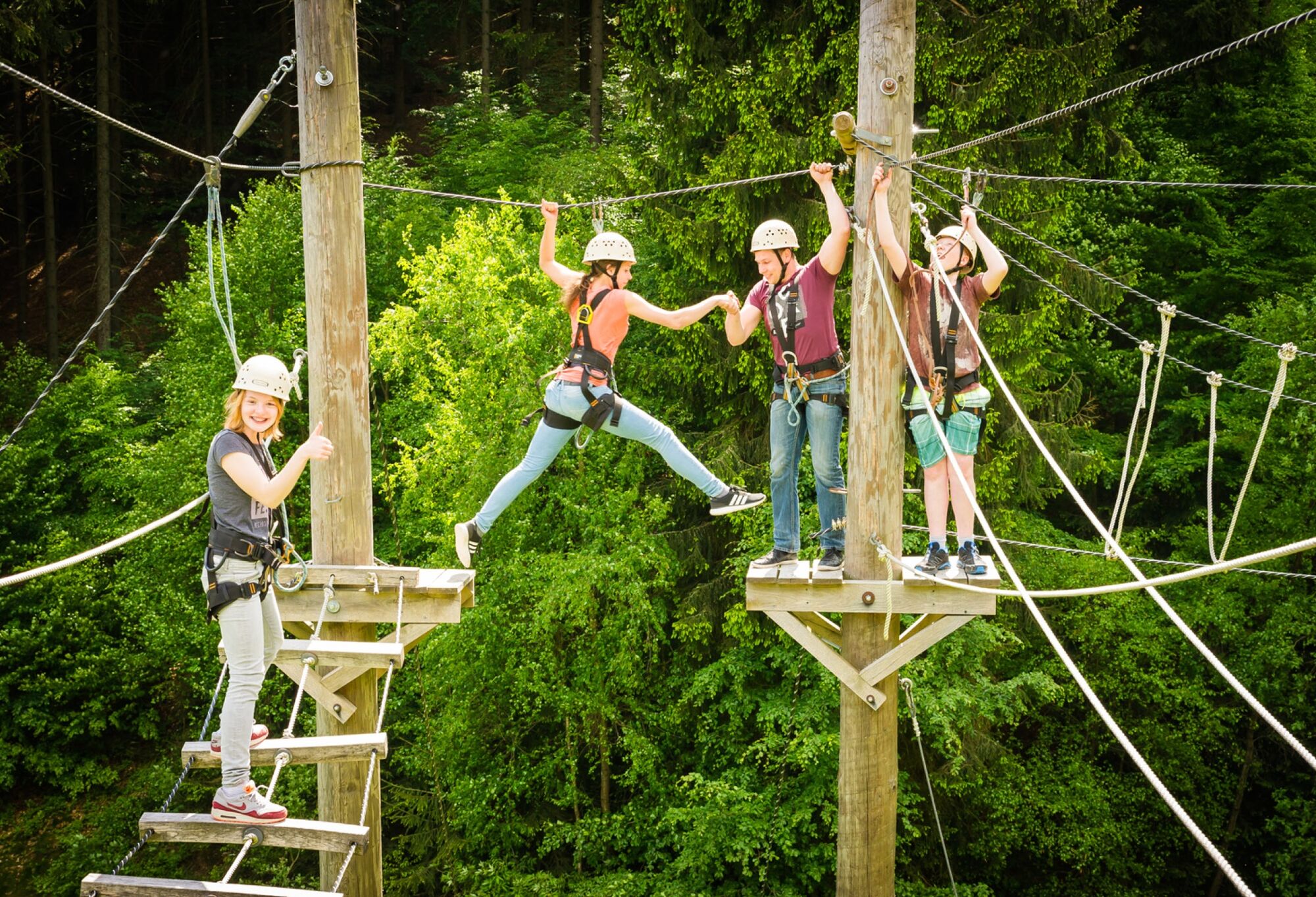
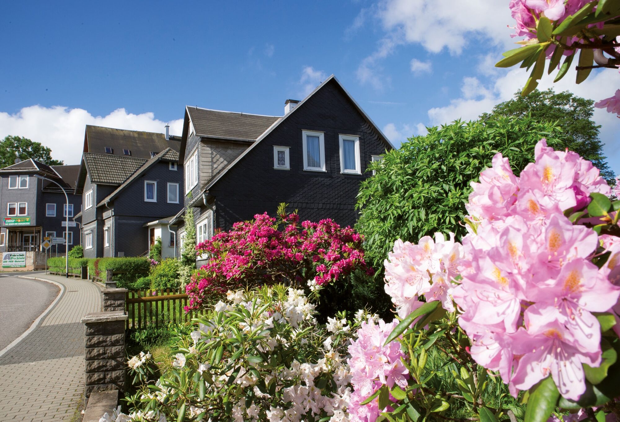
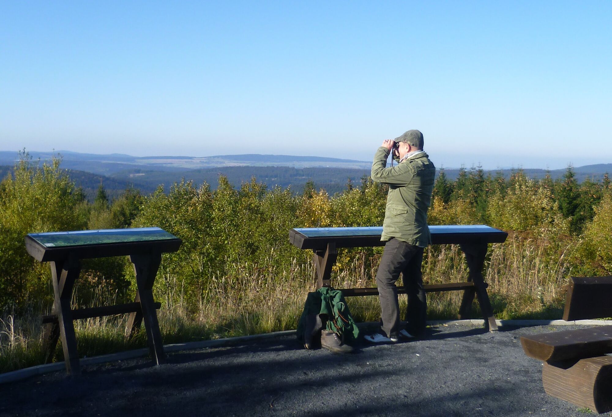
The six mountains to be climbed on this circular hiking trail in the Thuringian Forest Nature Park are also known colloquially as "Kuppen". They are all over 800m above sea level and offer unique views of the region. But it is not only nature that impresses with its uniqueness, traditional craftsmanship is also widespread around the 6-Kuppen-Steig. Therefore, every hiker should take the time to visit some of the museums or craft workshops and also enjoy the traditional cuisine in one of the many refreshment stops. Among other things, you can see glass handicrafts, Christmas tree decorations, porcelain and toy production, as well as slate processing and gold mining.
A suitable starting point for this challenging circular walk is the Bernhardsthal hikers' car park near Neuhaus am Rennweg. If you travel by PNV, you can start from Neuhaus Ort.
On the Sechs-Kuppen-Steig you can hike the 800-metre peaks in the southern Thuringian Forest.
Bornhügel Papenheimer Berg Tierberg Fellberg Kieferle Rollkopf - Directions
-
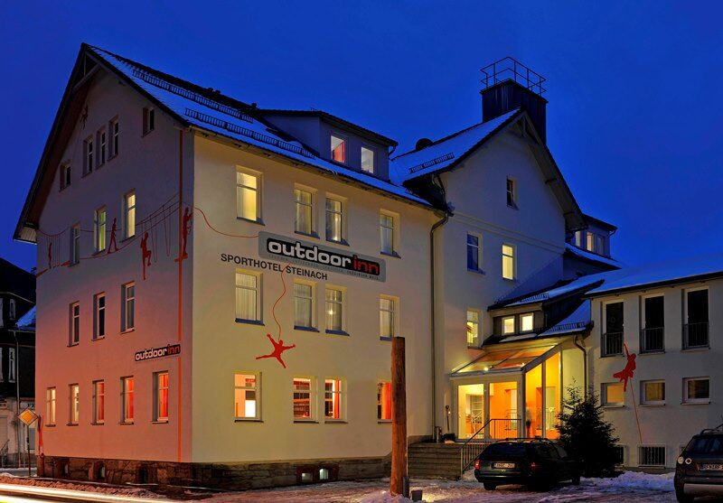
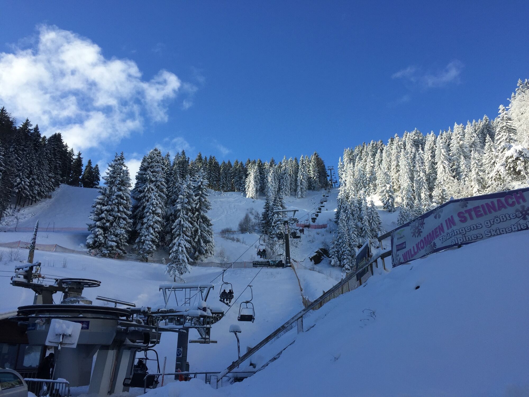
Neuhaus am Rennweg - Ernsthal - Bergmannsklause Steinach - Steinach - Silbersattel ski arena - Fellberg - Steinheid - Bernhardsthal - Neuhaus am Rennweg
. - Highest point
- 847 m
- Endpoint
-
Neuhaus am Rennweg
- Height profile
-
 © outdooractive.com
 - Equipment
-
Sturdy shoes
rainwear
Getter's reserve
First aid kit
GPS navigation device or smartphone - Tips
-
Be sure to take a break at the "Bergmannsklause" just before Steinach and pay a visit to the German Slate Museum in Steinach.
- Additional information
- Directions
-
Coming from the A73, take exit 5 (Eisfeld Nord) and then continue on the B281 towards Neuhaus am Rennweg.
- Public transportation
- Parking


-

-
AuthorThe tour Circular hike - "Sechs-Kuppen-Steig" - Steinach - Thuringian Forest is used by outdooractive.com provided.


General info
-
Thüringer Wald
992
-
Coburg Rennsteig / Thüringen
498
-
Lauscha
79