Panorama Trail Schwarzatal - 6th stage Altenfeld to Schwarzmühle - Thuringian Forest


- Brief description
-
From the heights of the forest back to the Gold River through the realm of the Olit Queen.
- Difficulty
-
medium
- Rating
-
- Starting point
-
Altenfeld - Market
- Route
-
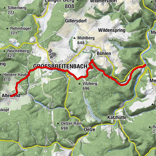
Zum kühlen GrundeAltenfeld0.0 kmGroßbreitenbach4.3 kmSchwarzmühle (390 m)12.3 km
- Best season
-
JanFebMarAprMayJunJulAugSepOctNovDec
- Description
-
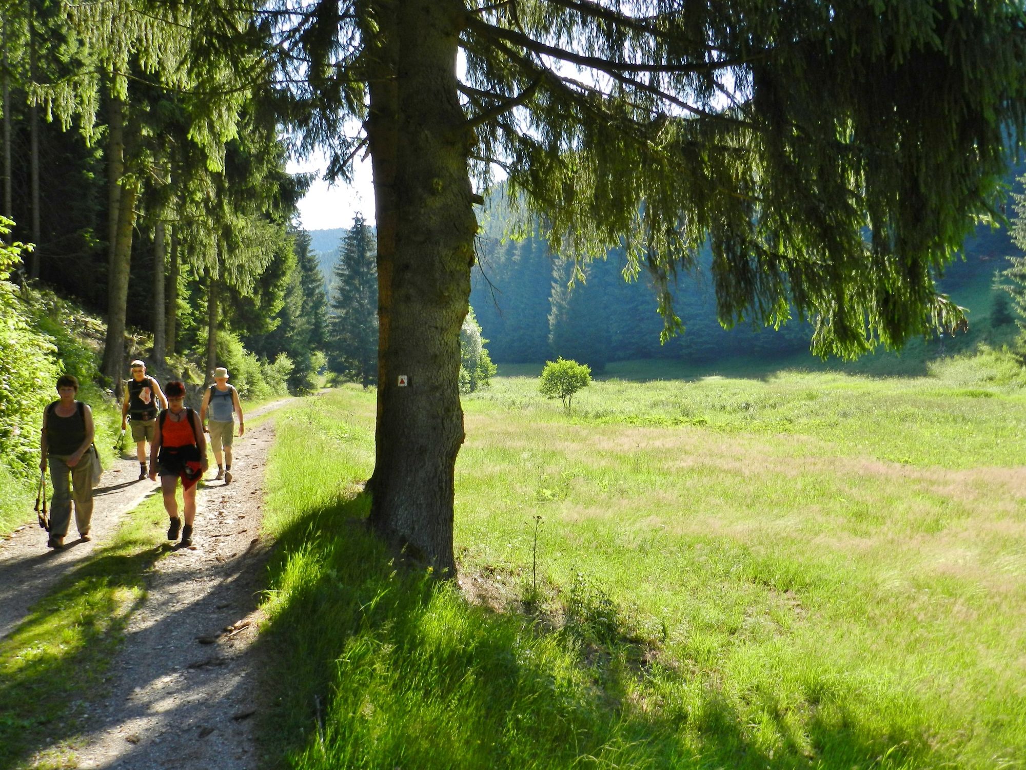
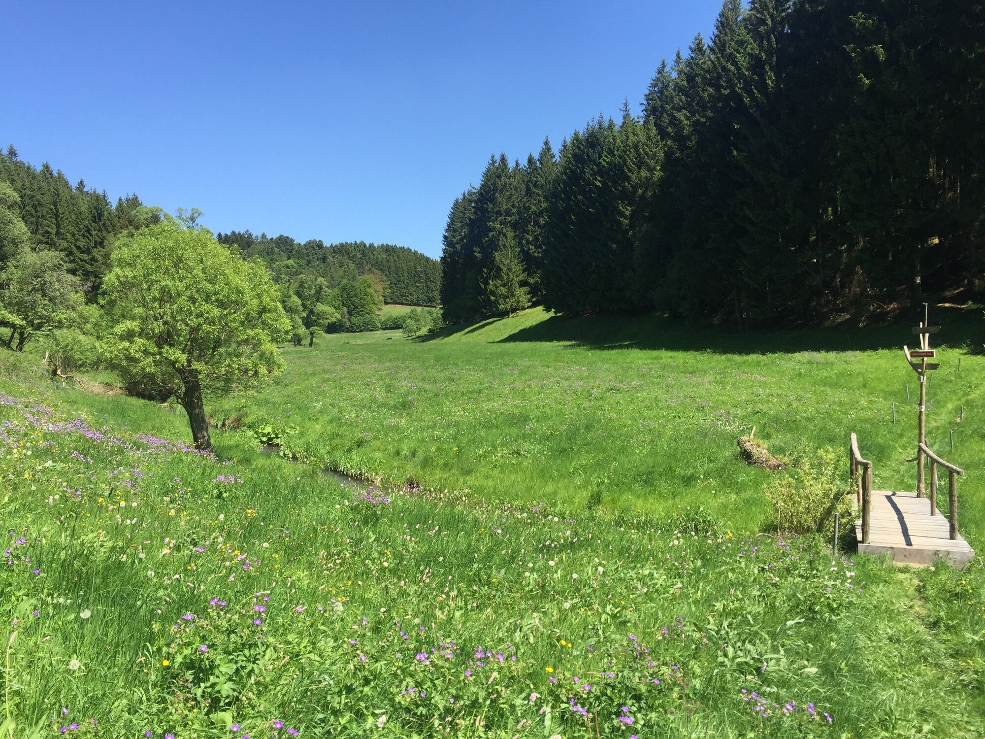
On this relaxed stage you leave the hills of the Thuringian Forest to hike back into the Schwarzatal valley. Through the open mountain meadows near Altenfeld, you reach the Hirschtal valley with its murmuring stream and small ponds not far from the village. After a detour into the forest, you cross the Reischelbachtal valley to finally take the last few metres uphill towards Großbreitenbach.
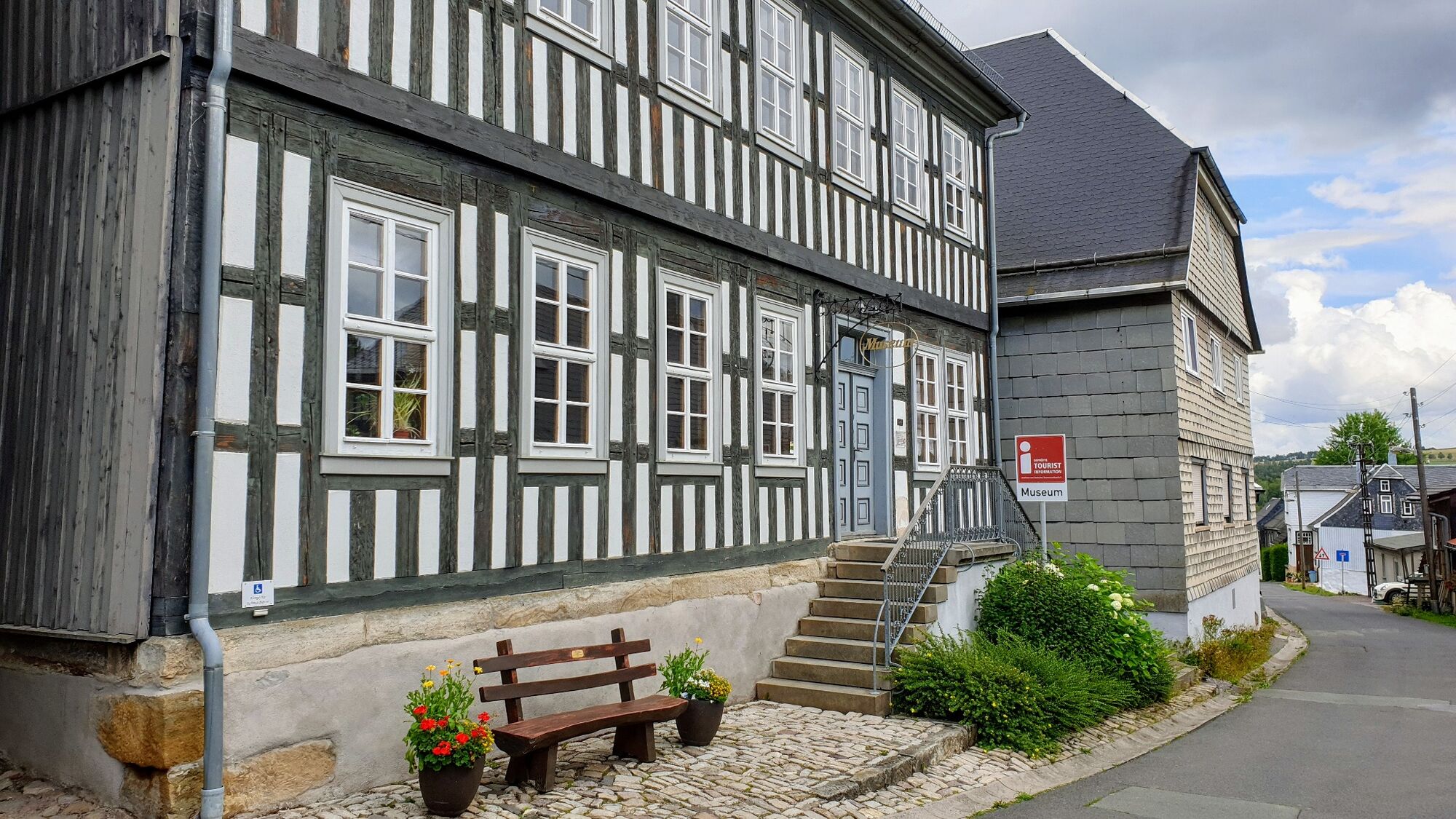
You reach Großbreitenbach not far from the large campsite with the open-air swimming pool and continue along the panorama trail on the southern edge of the village. If you like, you can make a detour into the old town centre to the Thuringian Forest Creative Museum. This is also home to the first German Kloßpressmuseum. Just south of Großbreitenbach, the stage also passes the biathlon centre of the ski club.
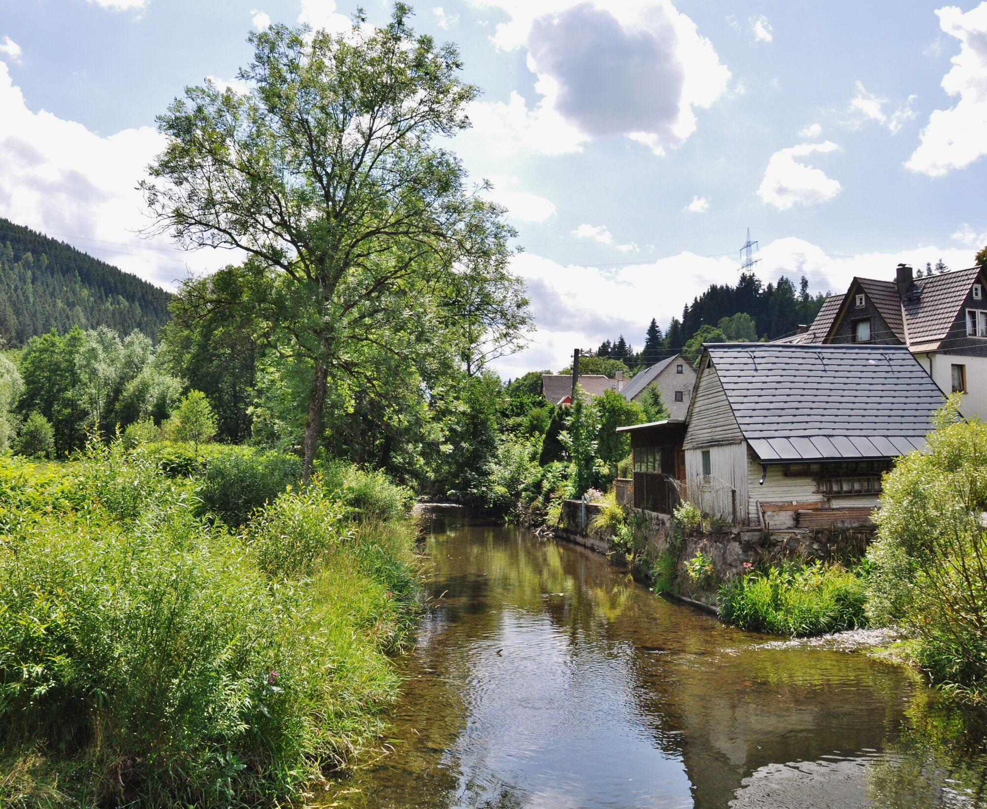
.At the end of the stage, the trail follows the Breitenbach through the Hirschgrund to Meuselbach-Schwarzmühle. Here the Panorama Trail meets the Schwarza again.
- Directions
-
Altenfeld - Reuscheltal - Großbreitenbach - Biathlon Centre at Hammertor - Böhlener Tal - Hirschgrund - Schwarzmühle - Schwarztalbahn stop in Meuselbach-Schwarzmühle
- Highest point
- 687 m
- Endpoint
-
Meuselbach-Schwarzmühle - level crossing
- Height profile
-
 © outdooractive.com
 - Equipment
-
Sturdy shoes, rainwear, water supply
- Safety instructions
-
Do not leave the signposted hiking trails. Look out for indications of private forest areas. There is a large transformer station in the Altenfeld-Großbreitenbach region. Never enter marked danger areas.
- Tips
-
Every year in August, Großbreitenbach hosts the Kram- und Kräutermarkt with guided walks and a colourful programme.
- Additional information
- Directions
-
Coming from the A73, take exit 4 (Schleusingen) and continue in the direction of Hinternah. In the village, turn right (towards Waldau). From Waldau, follow the L1137 in the direction of Schönbrun / Gießübel --> Masserberg. At the Schwalbenhaupt car park (Rennsteig) turn left towards Kahlert. In Kahlert, continue to the right on the L2648 towards Altenfeld.
- Public transportation
- Parking
- Author
-
The tour Panorama Trail Schwarzatal - 6th stage Altenfeld to Schwarzmühle - Thuringian Forest is used by outdooractive.com provided.


General info
-
Thüringer Wald
987
-
Coburg Rennsteig / Thüringen
492
-
Goldisthal
190