Panorama Trail Schwarzatal - 5th stage Goldisthal to Altenfeld - Thuringian Forest


- Brief description
-
Back to the hills through the deep forest to Mühlen and Albert-Schweitzer
- Difficulty
-
difficult
- Rating
-
- Starting point
-
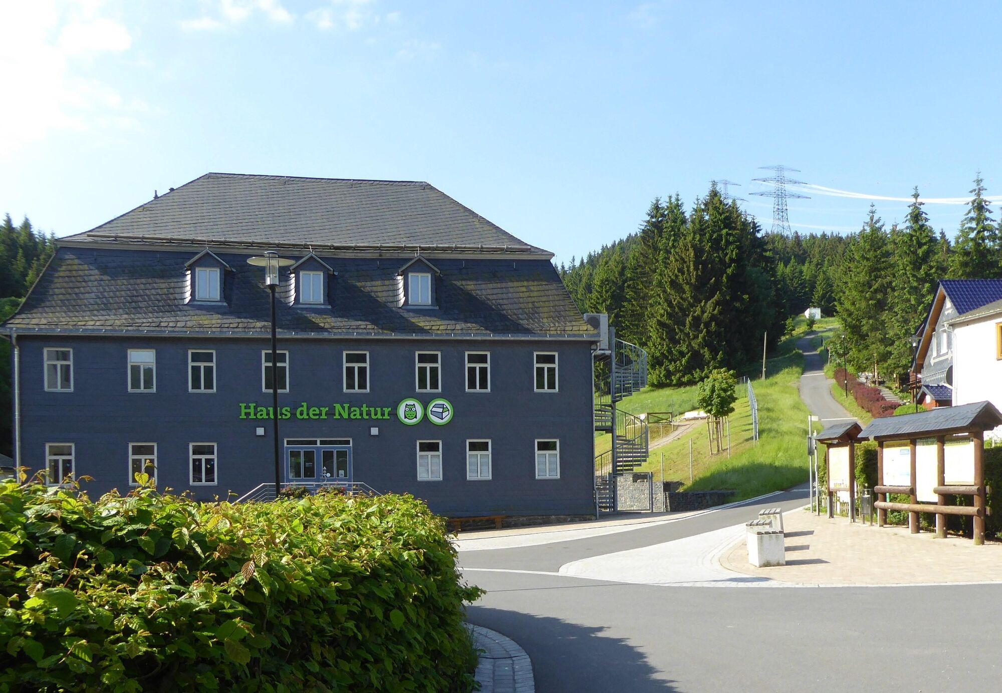
Goldisthal - House of Nature
- Route
-
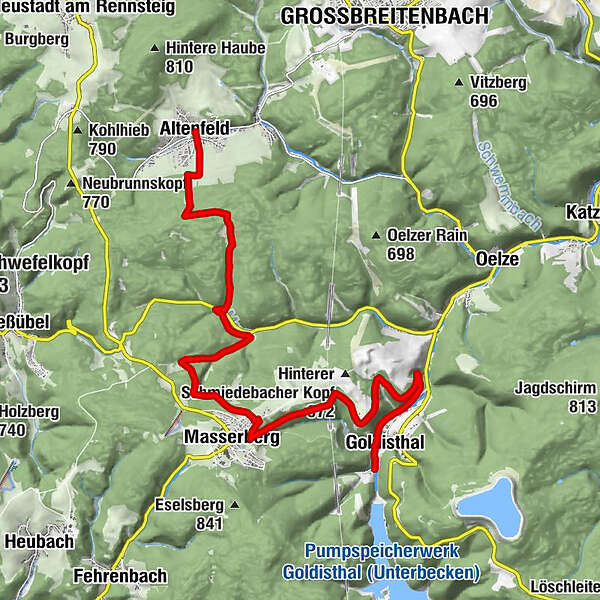
Goldisthal (512 m)0.4 kmMasserberg6.0 kmAlbert Schweitzer Hütte12.9 kmZum kühlen Grunde14.1 kmAltenfeld14.4 km
- Best season
-
JanFebMarAprMayJunJulAugSepOctNovDec
- Description
-
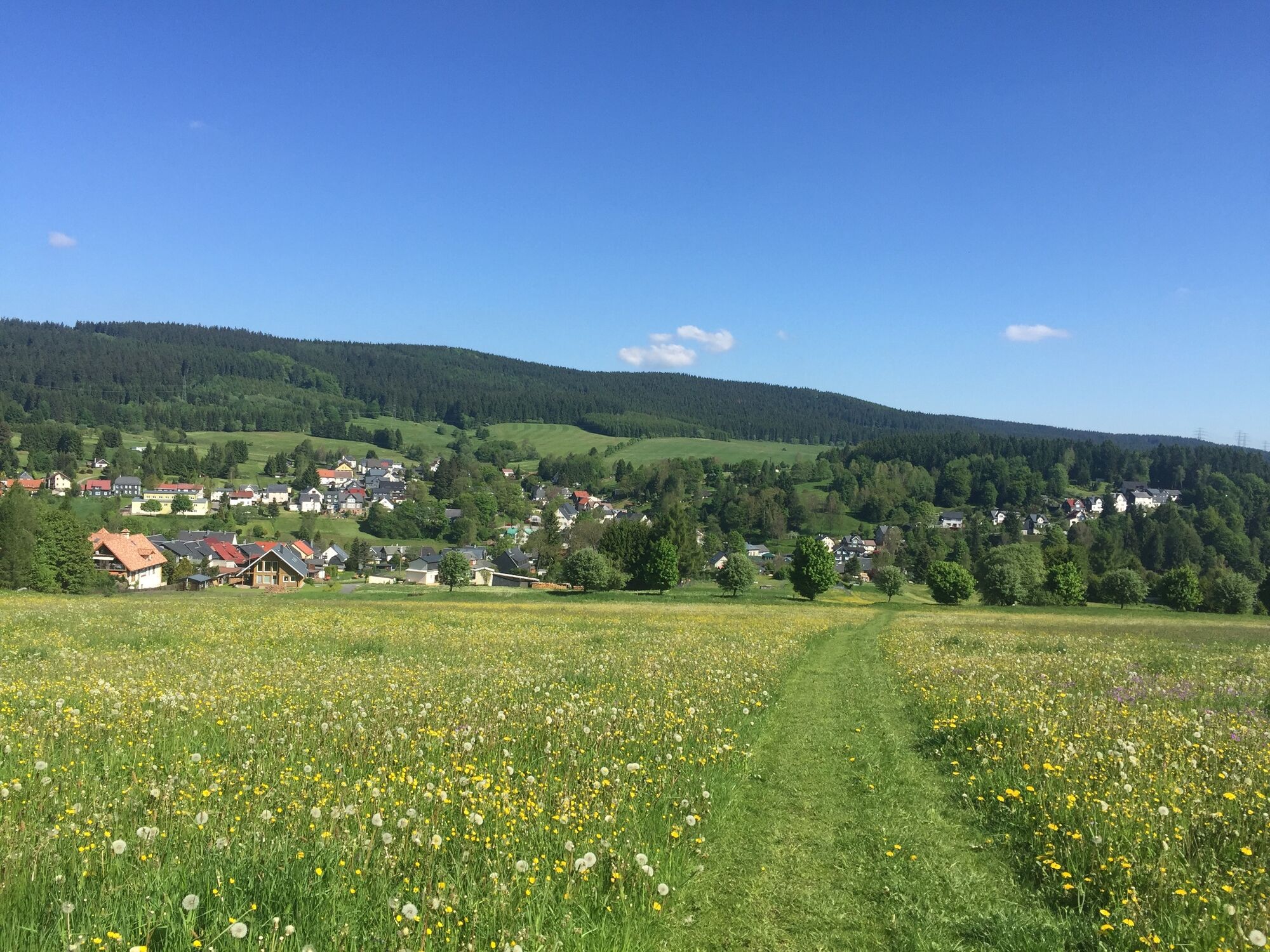
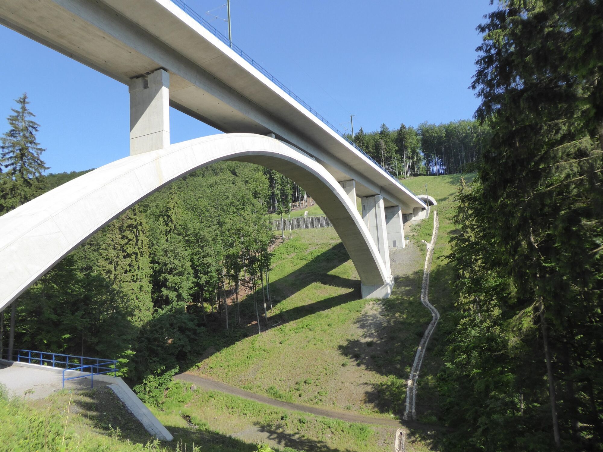
You start this section through the Schwarzatal directly on the banks of the small river below the large barrage in Goldisthal at the Haus der Natur. Along the edge of the village you soon enter the rustic Thuringian forest. The first ascent is quite challenging. After about 4 km, you pass the Rehtalbrbrücke and reach Masserberg. You can take a short detour past the spa meadows to the Hotel "Schöne Aussicht". With its cosy ambience and its own steak restaurant, it invites you to take a short break.
On the old Badstrasse you leave Masserberg in a northerly direction and descend into the valley of the "Masse" (river) to the Massermermle.
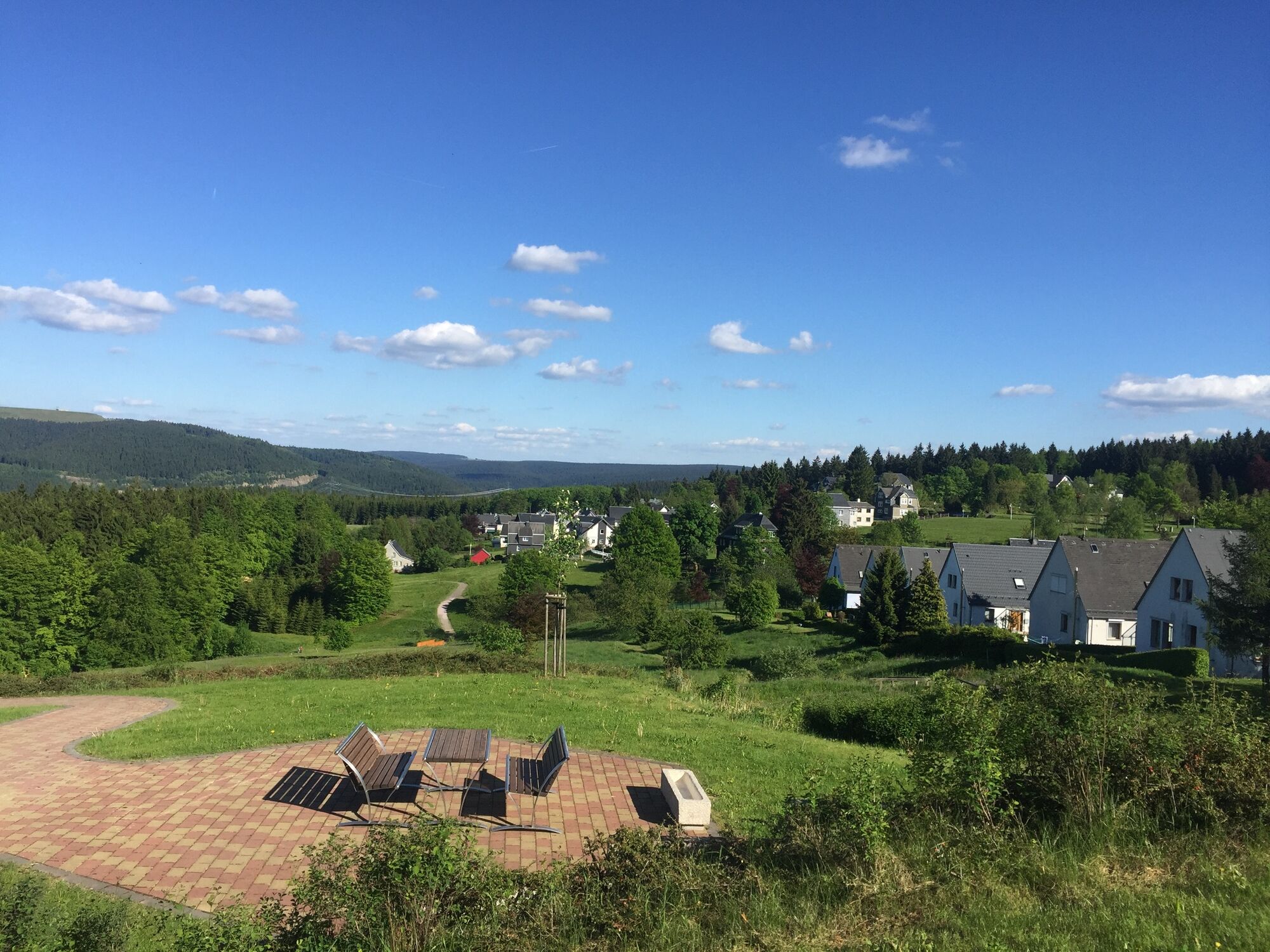
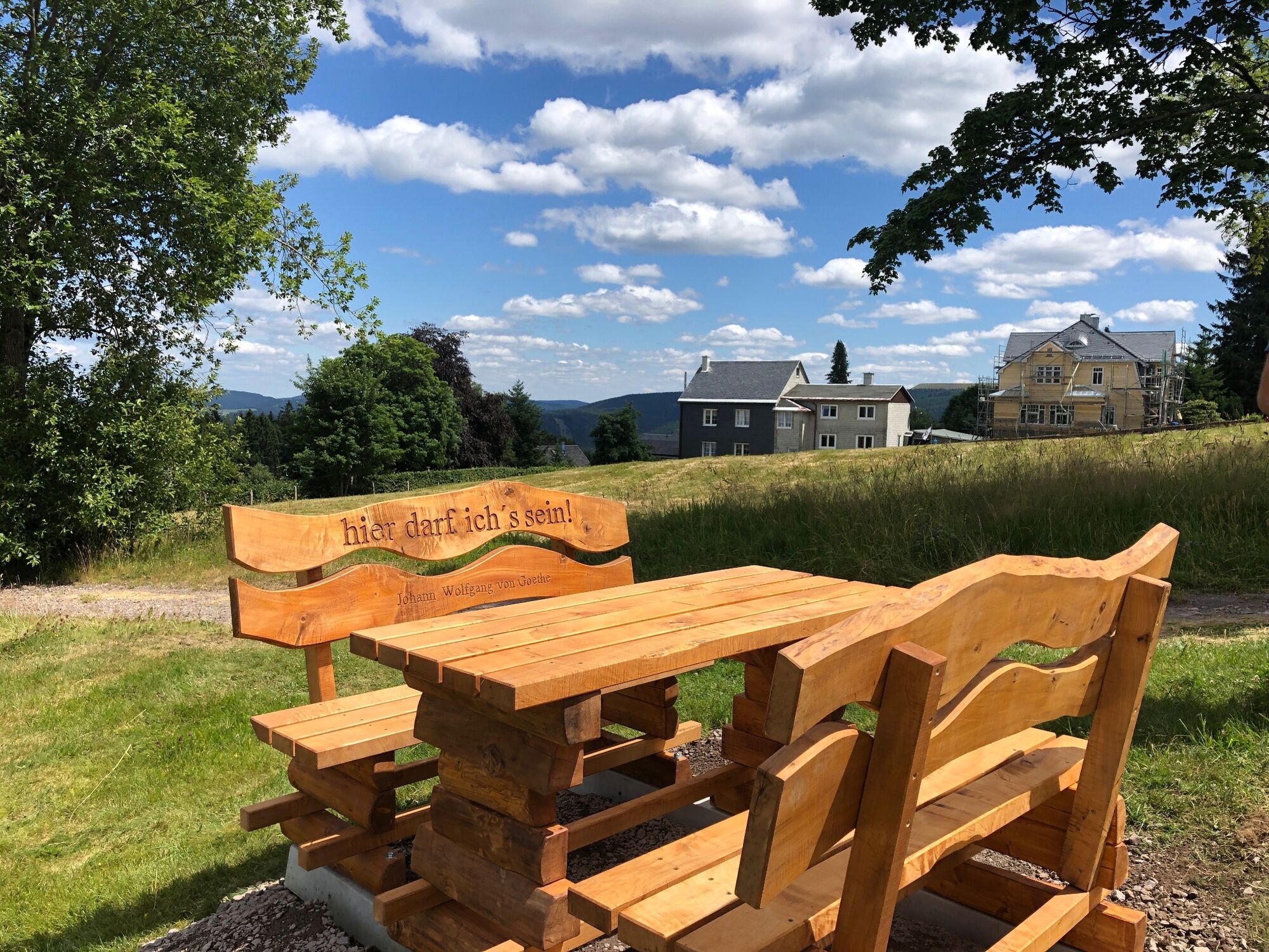
On the last section, the path climbs once more. At the highest point of the tour you reach the Albert-Schweitzer-Hütte near Altenfeld. From here you have a wonderful panoramic view over the expanse of the Thuringian Forest.
After descending the ski slope, you will soon reach the village of Altenfeld.
- Directions
-
Goldisthal - Schmiedebacher Kopf - Masserberg - Massermühle - Bärenfalle - Albert-Schweitzer-Hütte - Altenfeld
- Highest point
- 745 m
- Endpoint
-
Altenfeld - Market
- Height profile
-
 © outdooractive.com
 - Equipment
-
Sturdy shoes, rainwear
- Safety instructions
-
Especially in the exposed areas of the Thuringian forest, watch out for logging caused by previous storms. If possible, never leave the signposted hiking trails.
- Tips
-
Masserberg is especially known for its special healing climate in the middle of the Thuringian Forest.
- Additional information
- Directions
-
Coming from the A73, take exit 5 (Eisfeld-Nord) and then continue on the B281 towards Neuhaus am Rennweg. In Limbach, leave the main road to the left in the direction of Scheibe-Alsbach. Follow the L1112 to Goldisthal.
- Public transportation
-
You can get to Goldisthal comfortably with the bus line 501 from Neuhaus. You can reach Neuhaus am Rennweg either directly with the SüdThüringenBahn or with the Bus 405 from Saalfeld (KomBus GmbH - Also as a bicycle bus line).
To search for connections, simply use the travel portal of Deutsche Bahn. Enter "Goldisthal, Schule" as the destination.
- Parking
- Author
-
The tour Panorama Trail Schwarzatal - 5th stage Goldisthal to Altenfeld - Thuringian Forest is used by outdooractive.com provided.


General info
-
Thüringer Wald
992
-
Coburg Rennsteig / Thüringen
498
-
Masserberg
195