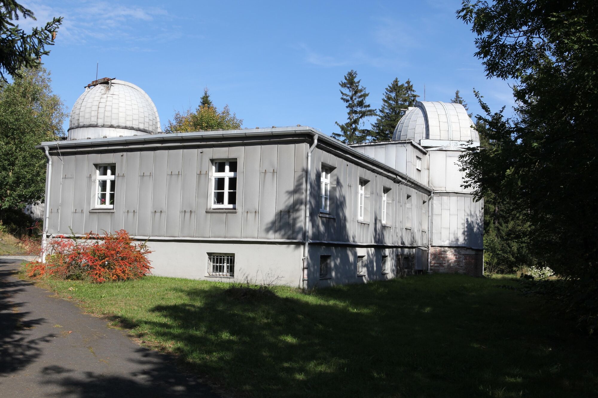
© Störfix [CC BY-SA 3.0 de (http://creativecommons.org/licenses/by-sa/3.0/de/deed.en)], via Wikimedia Commons - Störfix

© Foto: Störfix, Lizenz: Creative Commons by-sa 3.0 de [CC BY-SA 3.0 de (http://creativecommons.org/licenses/by-sa/3.0/de/deed.en)], via Wikimedia Commons - Störfix

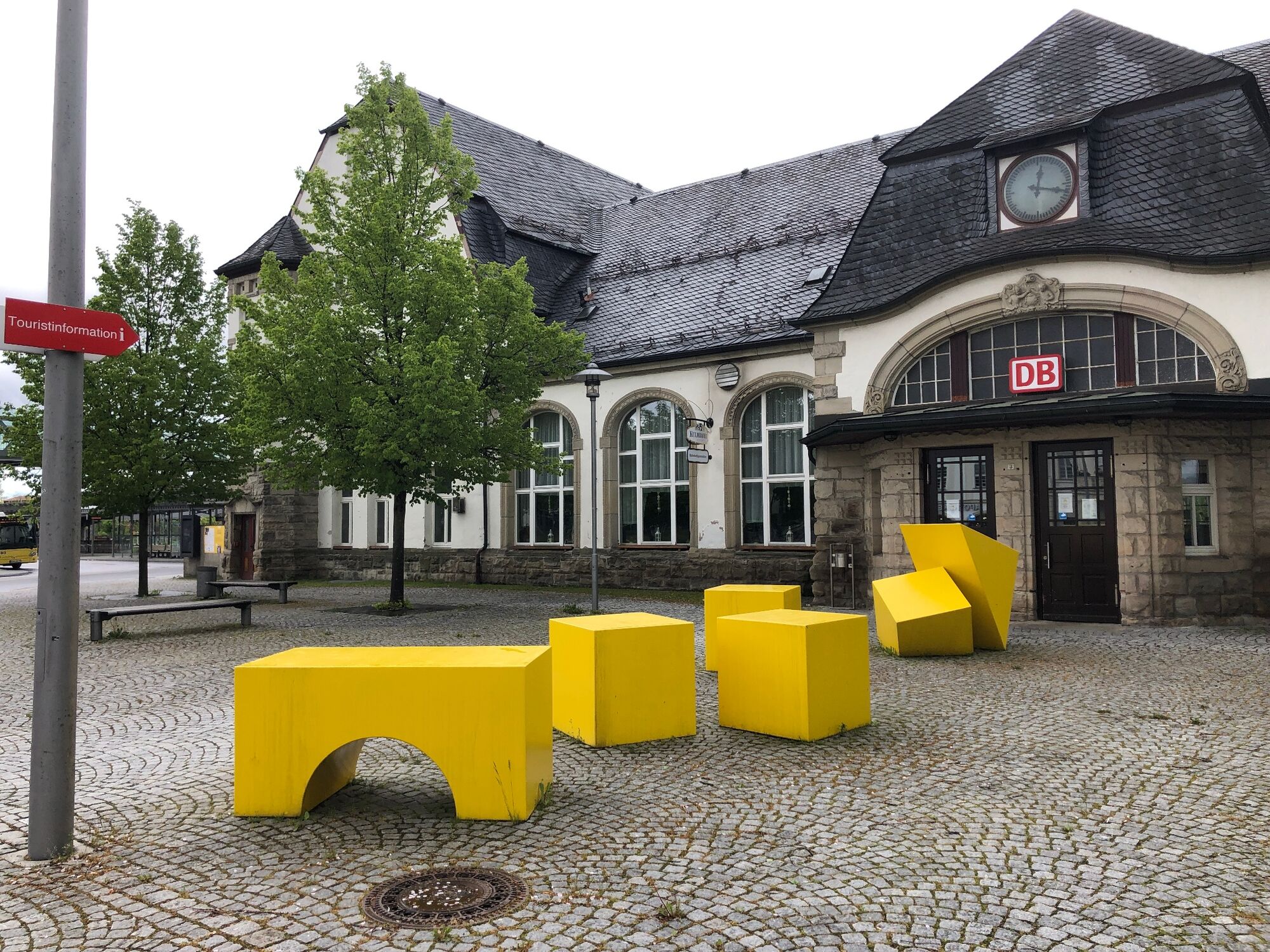
© outdoor inn, Andreas Müller - Christiane Pfaff

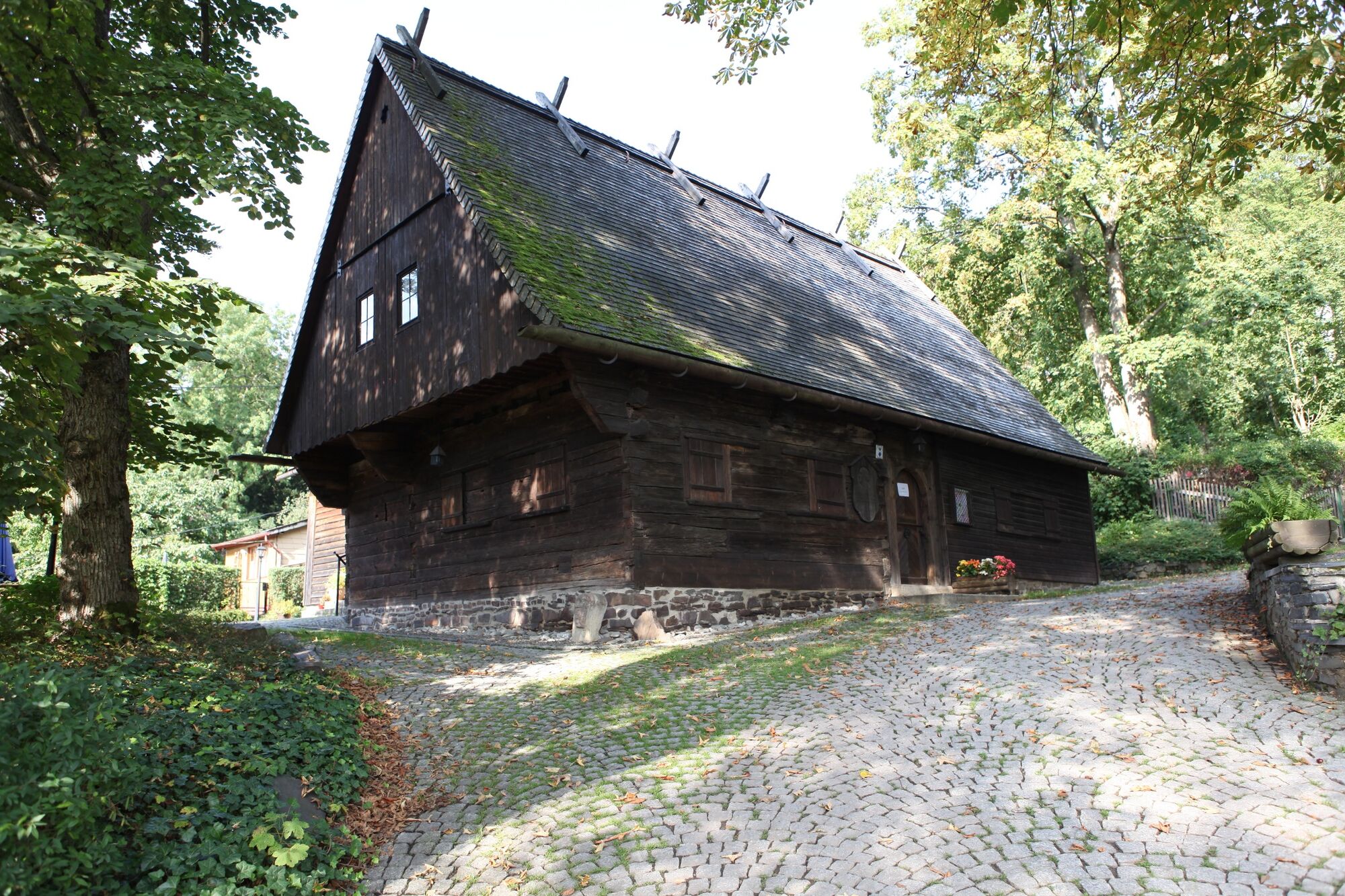
© holger mohaupt [CC BY-SA 3.0 (http://creativecommons.org/licenses/by-sa/3.0)], via Wikimedia Commons - Holger Mohaupt

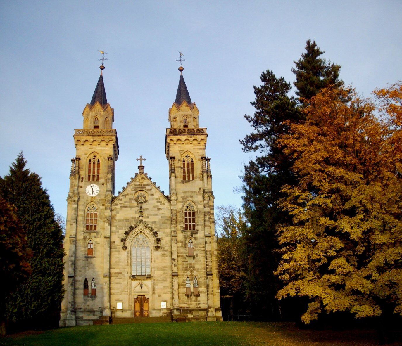
© Störfix [CC BY-SA 3.0 de (http://creativecommons.org/licenses/by-sa/3.0/de/deed.en)], via Wikimedia Commons - Störfix

© Störfix [CC BY-SA 3.0 de (http://creativecommons.org/licenses/by-sa/3.0/de/deed.en)], via Wikimedia Commons

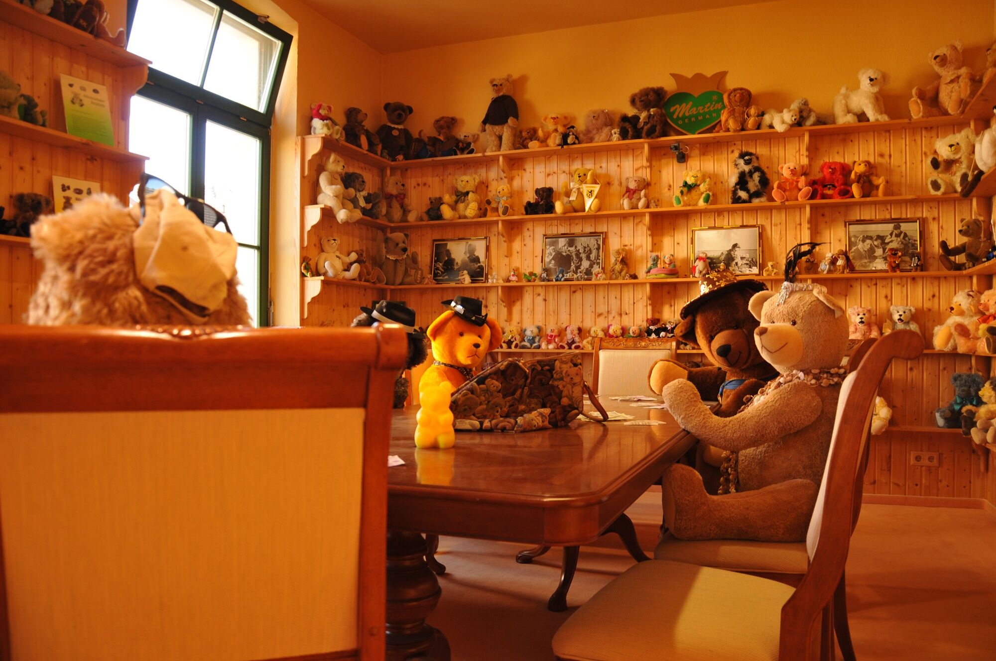
© Deutsches Spielzeugmuseum - Thomas Wolf

© Deutsches Teddybärenmuseum Sonneberg - Sina Martin

© Deutsches Teddybärenmuseum Sonneberg - Sina Martin

© Deutsches Teddybärenmuseum Sonneberg - Sina Martin
- Brief description
-
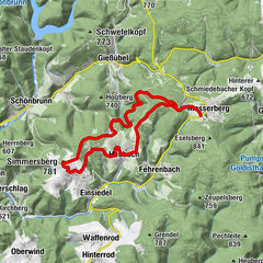
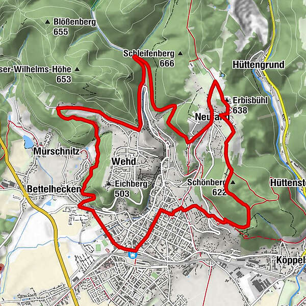
Der Rundwanderweg beginnt und endet an der Touristinformation am Hauptbahnhof Sonneberg.
- Difficulty
-
medium
- Rating
-
- Route
-
Sonneberg0.0 kmRhodos1.2 kmWehd2.4 kmFrankenbaude4.3 kmMühlbrunnen5.6 kmBerlagrund7.6 kmNeufang9.0 kmBergbrunnen9.2 kmErbisbühl (638 m)9.9 kmSchönberg (622 m)11.6 kmSonneberg14.8 km
- Best season
-
JanFebMarAprMayJunJulAugSepOctNovDec
- Highest point
- 632 m
- Endpoint
-
Touristinformation & Naturparkcenter Sonneberg
- Height profile
-
 © outdooractive.com


- Author
-
The tour Rundwanderweg - Sonneberg - Thüringer Wald is used by outdooractive.com provided.
GPS Downloads


General info
Refreshment stop
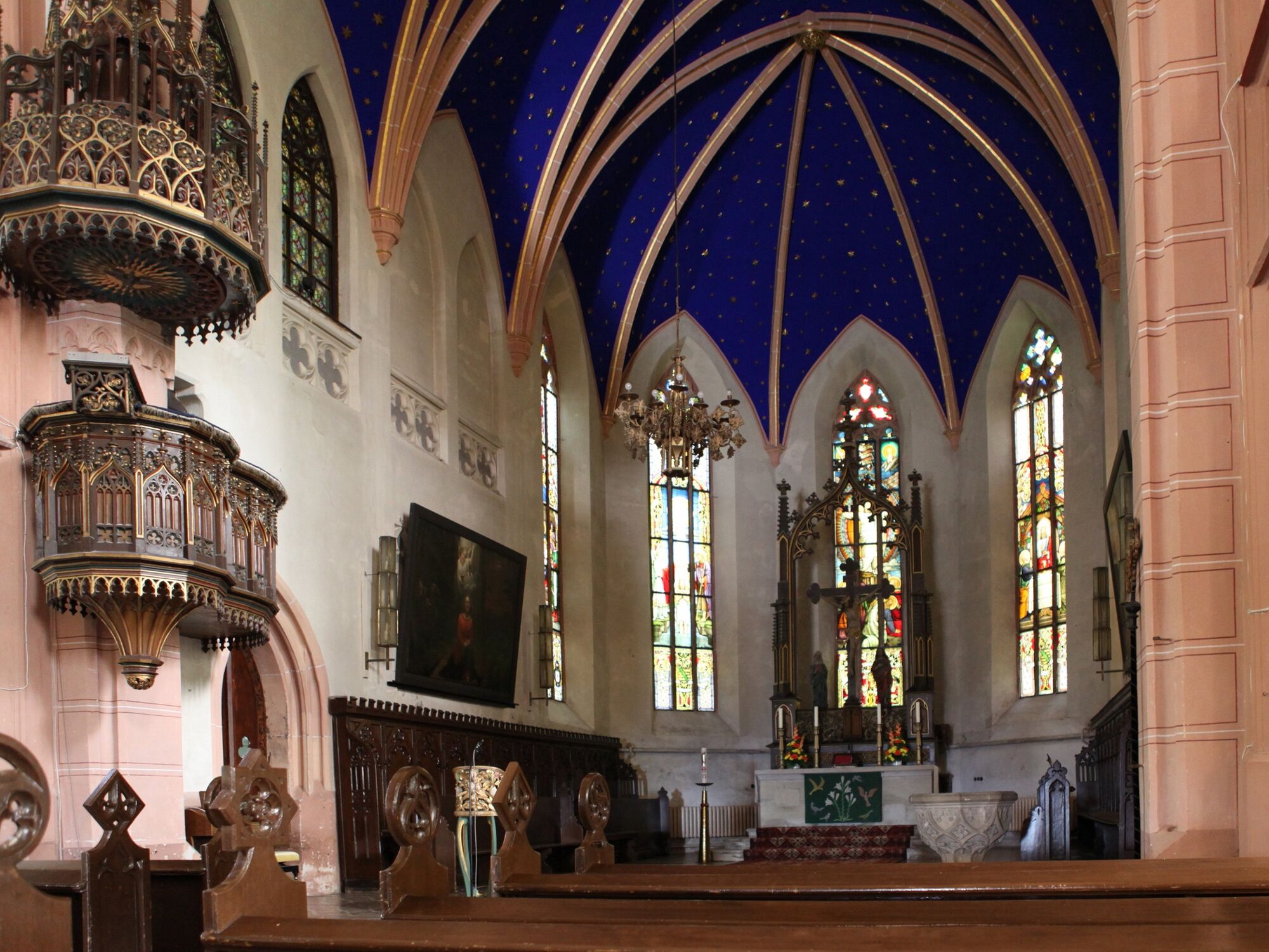
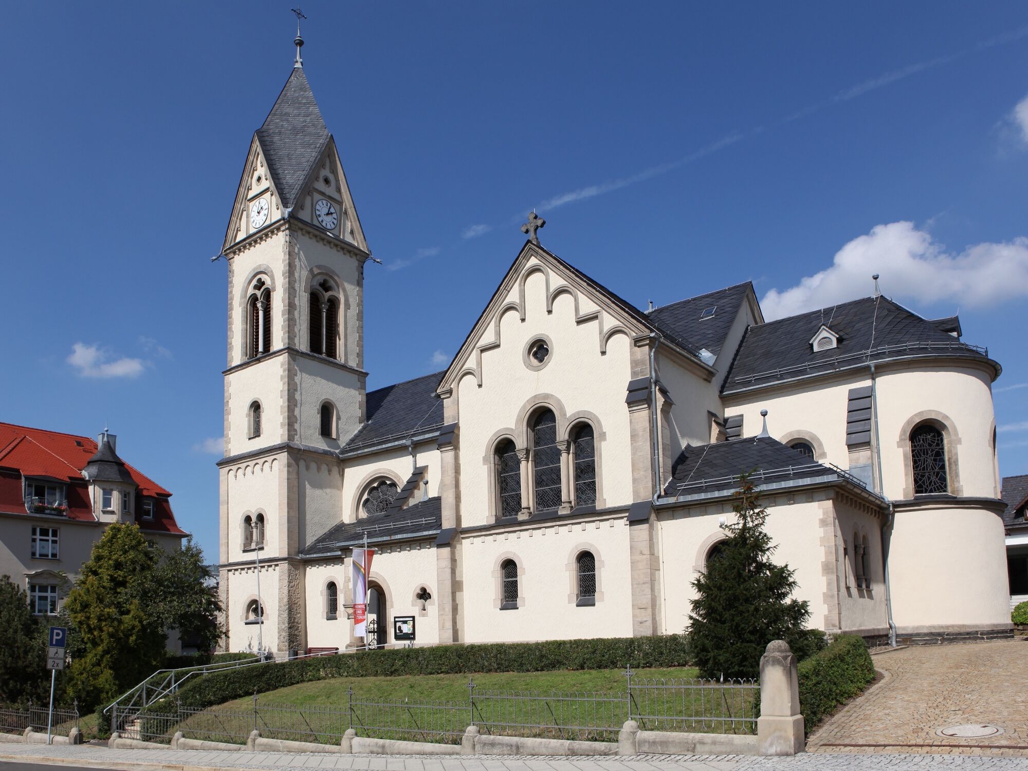
Cultural/Historical
Flora
Fauna
A lot of view
Other tours in the regions
-
Thüringer Wald
992
-
Coburg Rennsteig / Thüringen
498
-
Sonneberg
82