Circular hiking trail - WaldErlebnisPfad (Forest Experience Trail)


- Brief description
-
Short, family-friendly hiking trail with interesting hands-on and knowledge stations on the topics of forests and nature, located directly at the fairy grotto park.
The hiking trail is part of the terrain spa trails of the fairy grotto town of Saalfeld (Saalfeld 2). - Difficulty
-
easy
- Rating
-
- Starting point
-
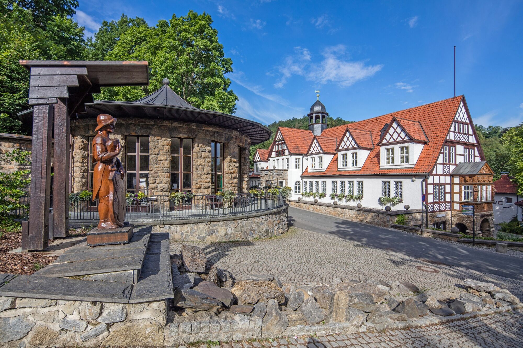
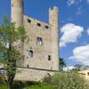
Saalfeld Fairy Grottos
- Route
-
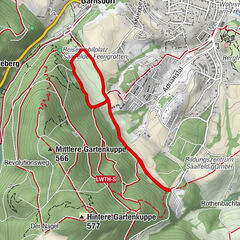
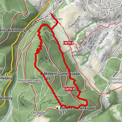
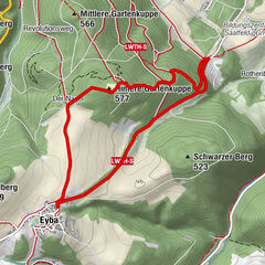
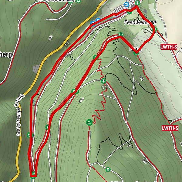
GarnsdorfGasthaus Feengrotten0.0 kmRand2.8 kmFeengrotten3.1 kmGrottenschenke3.1 kmGasthaus Feengrotten3.2 kmGarnsdorf3.2 km
- Best season
-
JanFebMarAprMayJunJulAugSepOctNovDec
- Description
-
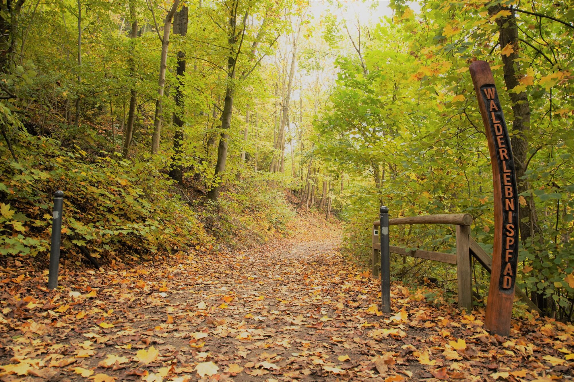
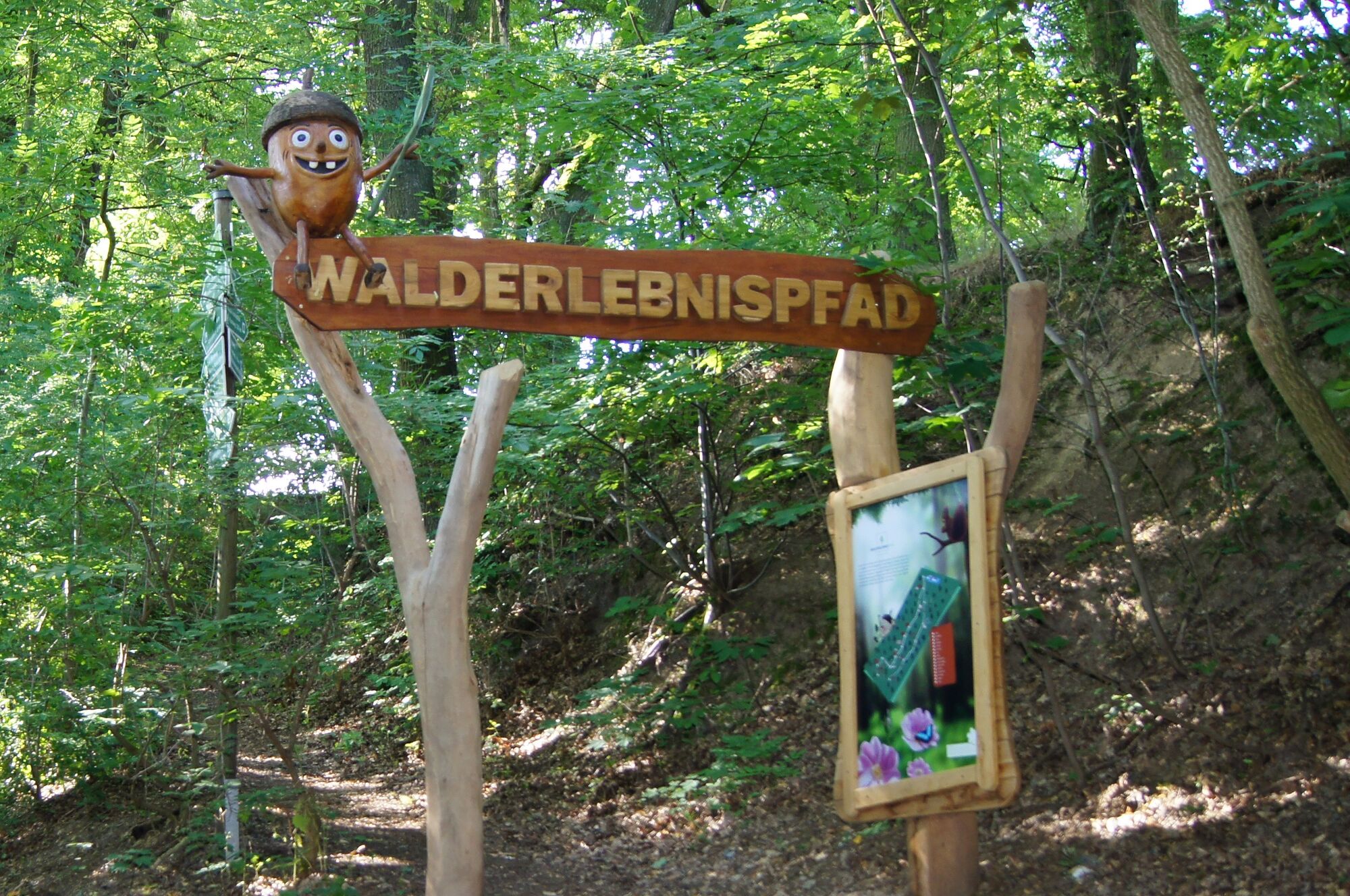
The trail is not long, but with 16 information stations about the forest, it is very interesting for young and old. From the roots to the life in the treetop, there are many interesting things to learn. Special attractions are a touch path and a stream game. The forest adventure trail starts at the Feengrotten spring house. It is marked with a green square. It winds its way from the Feengrotten car park to the "Green Classroom", always slightly uphill through a valley. Up to the "Green Classroom", the hiking trail is suitable for prams and for wheelchairs with electric drive. There is also a picnic area. At the "Green Classroom", the forest adventure trail branches off at an acute angle to the left of the main trail. It goes slowly uphill. After some time, our hiking trail crosses the "Revolution Trail". After about 200 m, the forest adventure trail branches off again to the left of the main path. It gradually goes downhill. Above the fairy grottoes, the path comes out of the forest. Here you have a beautiful view of Saalfeld and the surrounding area. After enjoying the view, the trail continues down a meadow path to the leading entrance of the fairy grottos. From there it is only a few metres to the starting point of the hike.
- Directions
-
Type:
Round hiking trail
Route:
Fairy Grottoes - 16 Forest Stations - Fairy Grottoes
Marking:
green acorn, green square on white background
- Highest point
- 444 m
- Endpoint
-
Saalfeld Fairy Grottos
- Height profile
-
 © outdooractive.com
 - Equipment
-
Sturdy shoes
rainwear
First aid kit
GPS device or smartphone
Beverage reserve - Safety instructions
- Tips
-
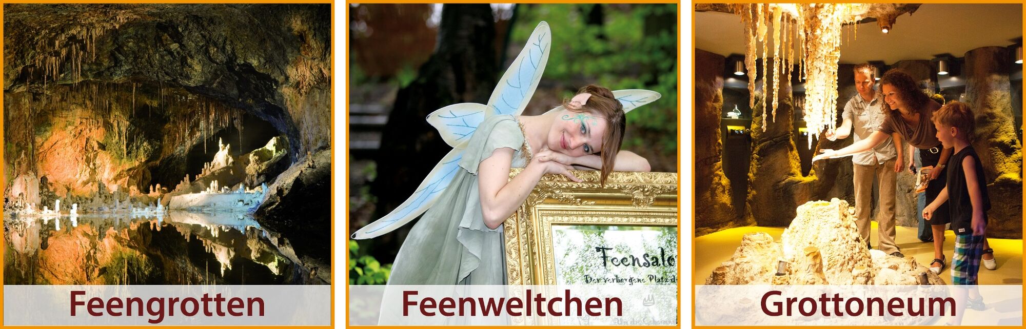
At the fairy grottos, the nature experience can be further enhanced by a visit to the "Grottoneum" adventure museum, the treasure hunt station and the water art. The gastronomic possibilities can be used.
- Additional information
- Directions
-
HOW TO GET THERE BY CAR
.Address: Feengrottenweg 2 - 07318 Saalfeld
From the West:
- From the A71, take the Stadilm exit and continue on the B90 to Saalfeld .
From the south:
- exit the A73 at the Eisfeld exit and follow the B281 towards Neuhaus am Rennweg .
- on the B85 from Kronach
From the east:
- From the A9, take the Lobenstein exit and follow the B90 towards Lobenstein .
- From the A9, take the Triptis exit and follow the B281 towards Pößneck .
From the north:
- Leave the A4 at the exit Jena-Göschwitz and follow the B88 in the direction of Rudolstadt (Attention: currently still permanent construction site in Rothenstein) .
- Public transportation
-
Travel by train
.Travel by Deutsche Bahn:
.
Travel to Saalfeld comfortably, stress- and congestion-free with Deutsche Bahn trains from all directions. From Saalfeld station you can reach the fairy grottos quickly and easily by bus.Travel by city bus/ long-distance bus
.Direction: Fairy Grottoes - Train Station Line A- daily every half hour at xx.10 and xx.40 from Saalfeld Fairy Grottoes- first departure is 08.10; last departure is 18.10
.Direction: train station - fairy grottoes line A- every half hour every day xx.10 and xx.40 from train station and xx.14 and xx.44 from market (first trip from 07.40)- last trip is 17.40 from train station/ 17.44 from market
Overview sketch of boarding points at Saalfeld bus station
.To plan your journey, please use this link and simply add your starting point and the desired travel period:
→ Journey to the fairy caves Saalfeld - Parking
-
-
AuthorThe tour Circular hiking trail - WaldErlebnisPfad (Forest Experience Trail) is used by outdooractive.com provided.


-
Thüringer Wald
986
-
Coburg Rennsteig / Thüringen
492
-
Saalfeld
101