Ilmtal Cycle Path - From the Rennsteig through the Weimarer Land to the Saale River


- Brief description
-
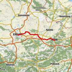
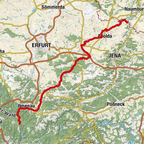
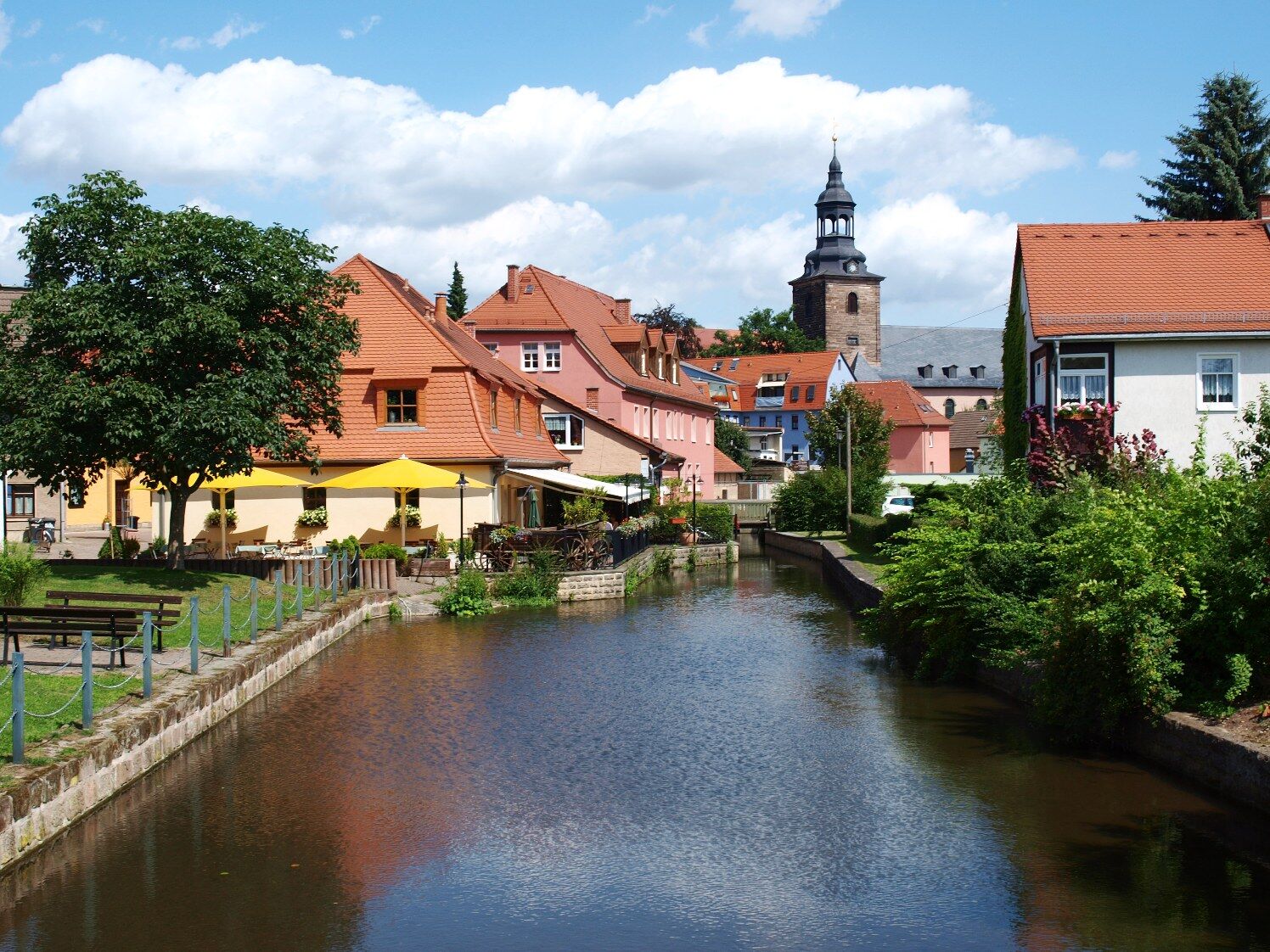
On a route of 123 km length you will experience Thuringian landscapes - from the forest to the vineyard through the Weimarer Land, from the source of the Ilm to the mouth of the Saale, from Ilmenau via Weimar to Großheringen.
- Difficulty
-
medium
- Rating
-
- Route
-
AllzunahHotel und Gasthof Am Park3.7 kmStützerbach4.2 kmStützerbach (591 m)4.5 kmMeyersgrund7.0 kmHotel Thüringer Wald8.8 kmElisabethenbrunnen9.0 kmManebach10.5 kmCarl Alexander Brunnen12.2 kmIlmenau (500 m)14.5 kmFridolin16.8 kmLangewiesen (454 m)19.4 kmAnnawerk23.0 kmGräfinau-Angstedt25.7 kmGaststätte Zur Scharfen Ecke25.9 kmDörnfeld an der Ilm30.0 kmCottendorf (388 m)30.3 kmGriesheim32.8 kmOberilm35.9 kmStadtilm36.9 kmGroßhettstedt41.3 kmKleinhettstedt42.2 kmDienstedt45.7 kmKarsthöhle Dienstedt (340 m)47.0 kmBarchfeld48.9 kmKranichfeld52.0 kmTannroda56.3 kmSt. Marien61.9 kmBad Berka62.3 kmSankt Martin64.7 kmHetschburg64.7 kmZum Lindenbaum64.8 kmSpitzwiese66.6 kmUnterm Hausholze66.9 kmBuchfart67.8 kmSchenkenberg68.0 kmMännerwirtschaft69.3 kmOettern70.0 kmDorfkirche Oettern70.1 kmMellingen (230 m)74.5 kmOberweimar79.8 kmSankt Peter und Paul79.8 kmLäuterquelle81.5 kmParkvorstadt81.5 kmLeutraquelle81.5 kmOchsenauge (Leutraquelle)81.7 kmWeimar (208 m)82.0 kmFuchsleite83.6 kmTiefurt85.4 kmKromsdorf-Süd87.4 kmKromsdorf-Nord87.9 kmDenstedt89.2 kmUlrichshalben91.9 kmOßmannstedt92.5 kmRastplatz OL Oßmannstedt92.6 kmSankt Peter92.8 kmZum Kuhstall92.8 kmBackhausteichplatz92.8 kmRastplatz Oberroßla Ortseingang94.9 kmVerweilplatz Oberroßla96.5 kmOberroßla96.6 kmSpielplatz Oberroßla96.7 kmOberroßla/Rödigsdorf96.7 kmApolda (205 m)97.6 kmRastplatz Niederroßla98.3 kmNiederroßla99.4 kmSankt Vitus101.5 kmZottelstedt101.6 kmZum alten Kuhstall101.7 kmSankt Marien102.2 kmMattstedt102.4 kmRastplatz bei Poche105.1 kmRastplatz OE Wickerstedt105.7 kmSankt Vitus106.3 kmWickerstedt106.8 kmSt. Margarete109.8 kmEberstedt109.9 kmNiedertrebra110.1 kmÖlmühle Eberstedt110.5 kmDarnstedt112.7 kmHeinrichsquelle113.0 kmBad Sulza114.1 kmDorfsulza114.3 kmRastplatz Gradierwerk115.8 kmGroßheringen119.0 kmKleinheringen119.0 kmKaatschen120.4 kmWeichau120.4 km
- Best season
-
JanFebMarAprMayJunJulAugSepOctNovDec
- Description
-
The Ilmtal Cycle Route was the first in Thuringia to be awarded four stars by the Allgemeiner Deutscher Fahrrad-Club (ADFC) as an ADFC Quality Cycle Route. From a cycling tourism point of view, this means that - apart from a picturesque landscape - you are also spoiled with top quality in the areas of navigability, signposting, route guidance, safety and service. Castles, palaces and UNESCO World Heritage sites line the route. It's worth taking enough time to discover sights and enjoy hearty Thuringian cuisine.
- Directions
-
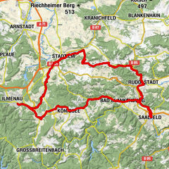
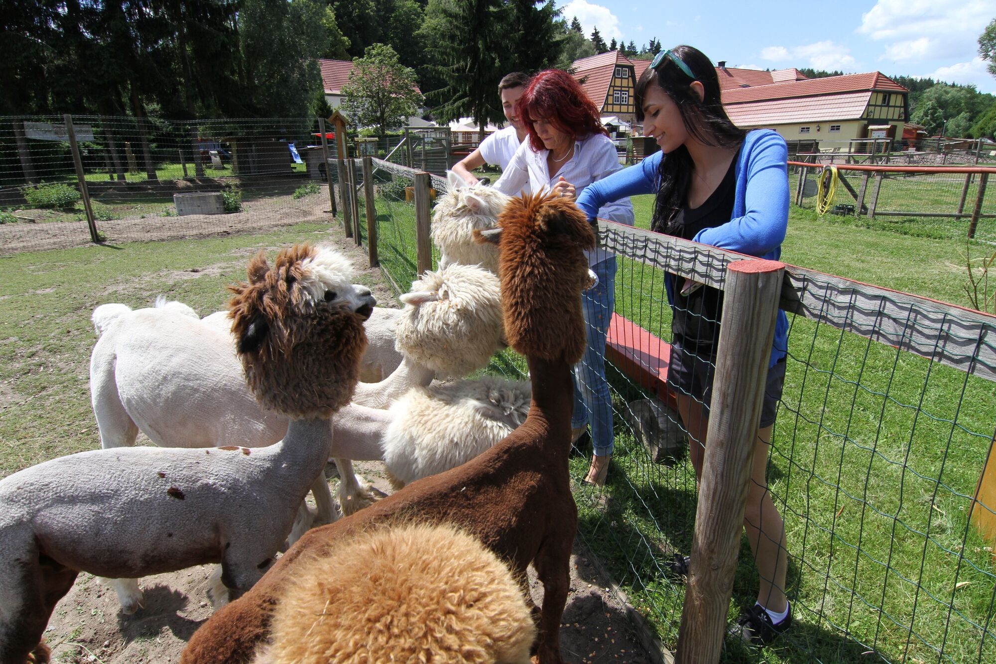
1st stage: From Allzunah to Ilmenau | 15 kmFrom Allzunah (district of Frauenwald) on the Rennsteig, the high-altitude trail of the Thuringian Forest, the route descends through the valley to Stützerbach. Here, in the UNESCO Biosphere Reserve Vessertal-Thuringian Forest, the Ilm River rises from several headwaters. Stützerbach is a popular climatic health resort on the Rennsteig and gained fame primarily through Goethe's frequent visits. So it is only natural that there is not only a Goethe House here, but also a 20 km long hiking trail: following Goethe's footsteps, you can reach Ilmenau via Manebach - the university and Goethe city on the Ilm.
Stage 2: From Ilmenau to Kranichfeld | 36 kmFrom the southern town of Ilmenau, the route leads through a stretch of floodplain forest along the banks of the Ilm River to Langewiesen and Gräfinau-Angstedt. On the further way to Griesheim and Stadtilm you have the possibility to stop at the Oberilm salt works. Or you can enjoy a cool, freshly tapped beer at the Singen Museum Brewery. Passing the art and mustard mill Kleinhettstedt and via Dienstedt with its karst cave you reach the two-castle town Kranichfeld. In the Baumbachhaus Kranichfeld you can get information about the region, or you can visit the exhibition of the house and enjoy a coffee break in the hospitable parlor.
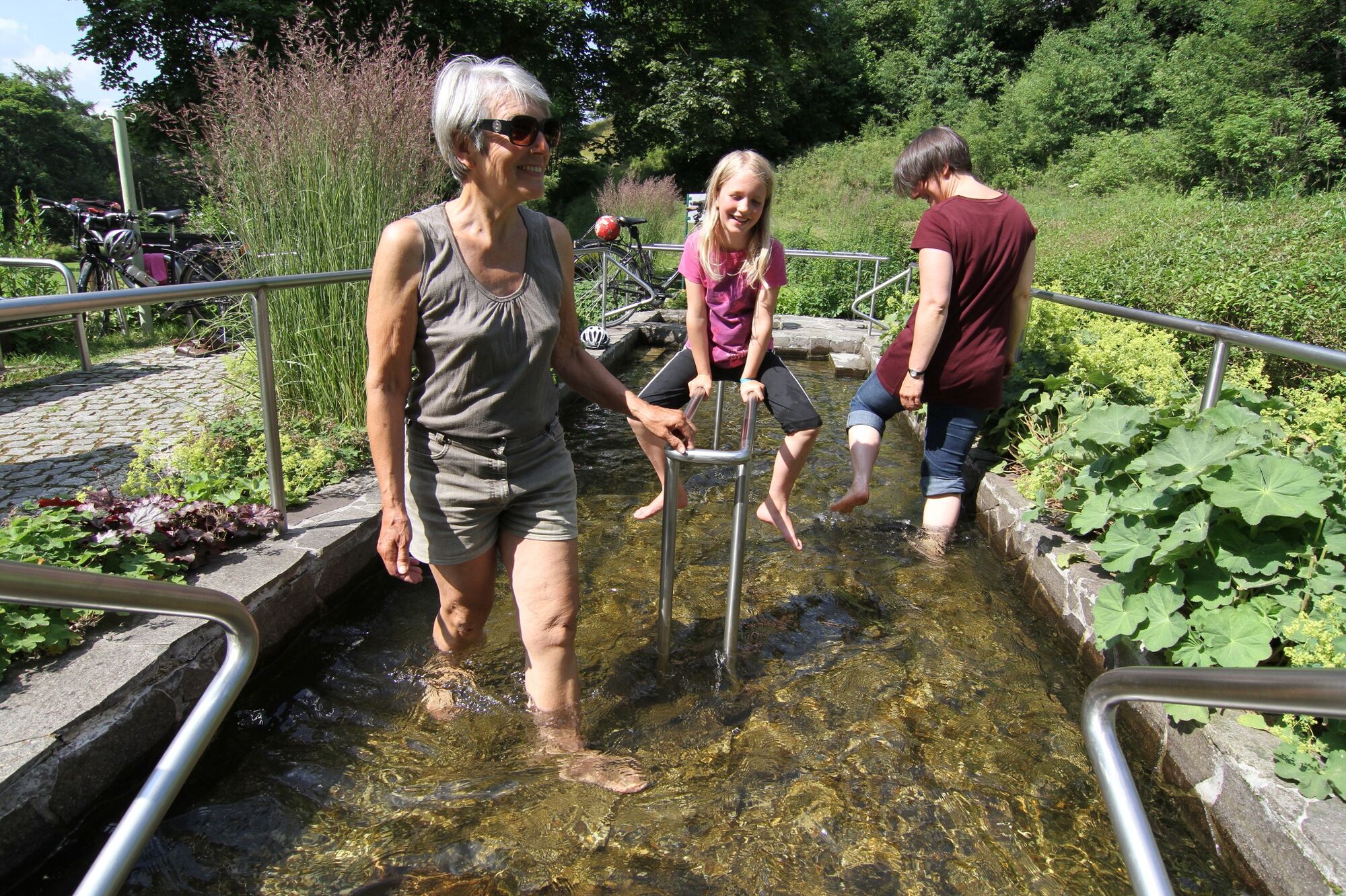
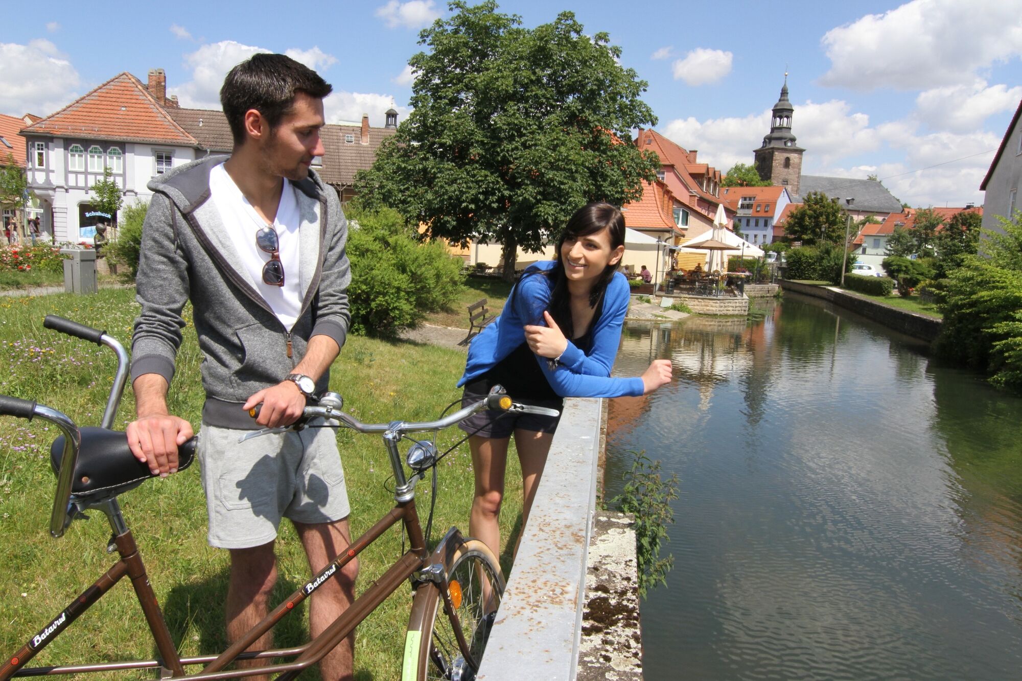
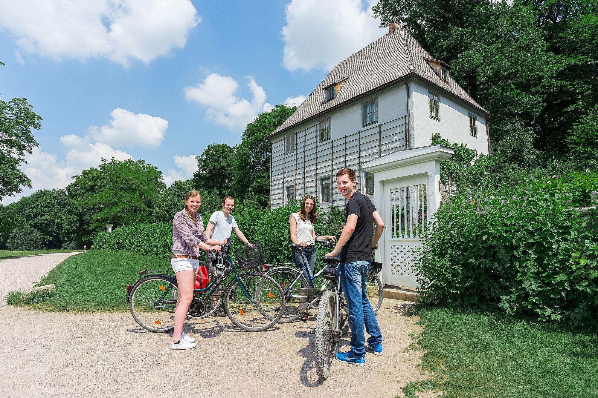
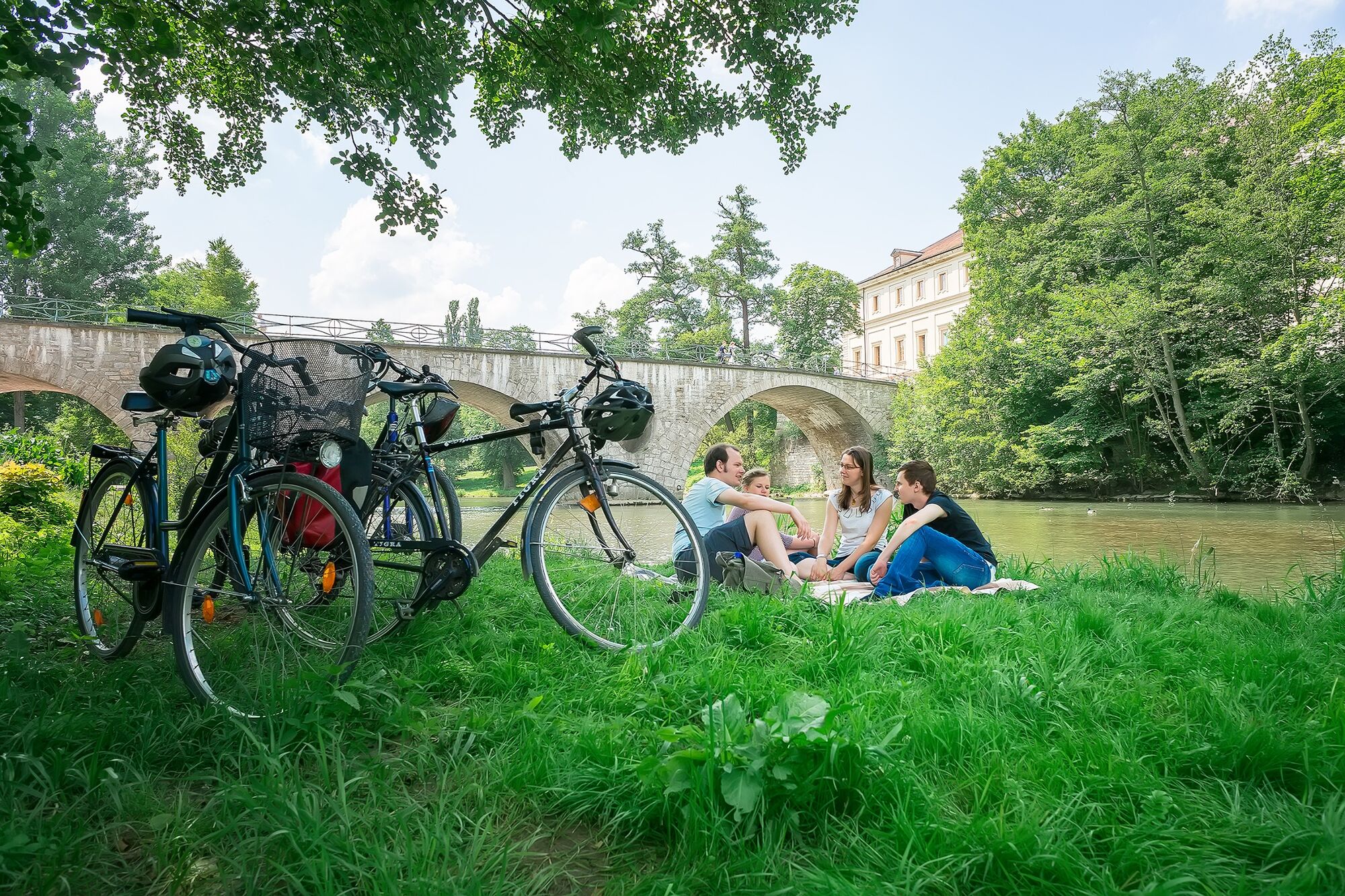
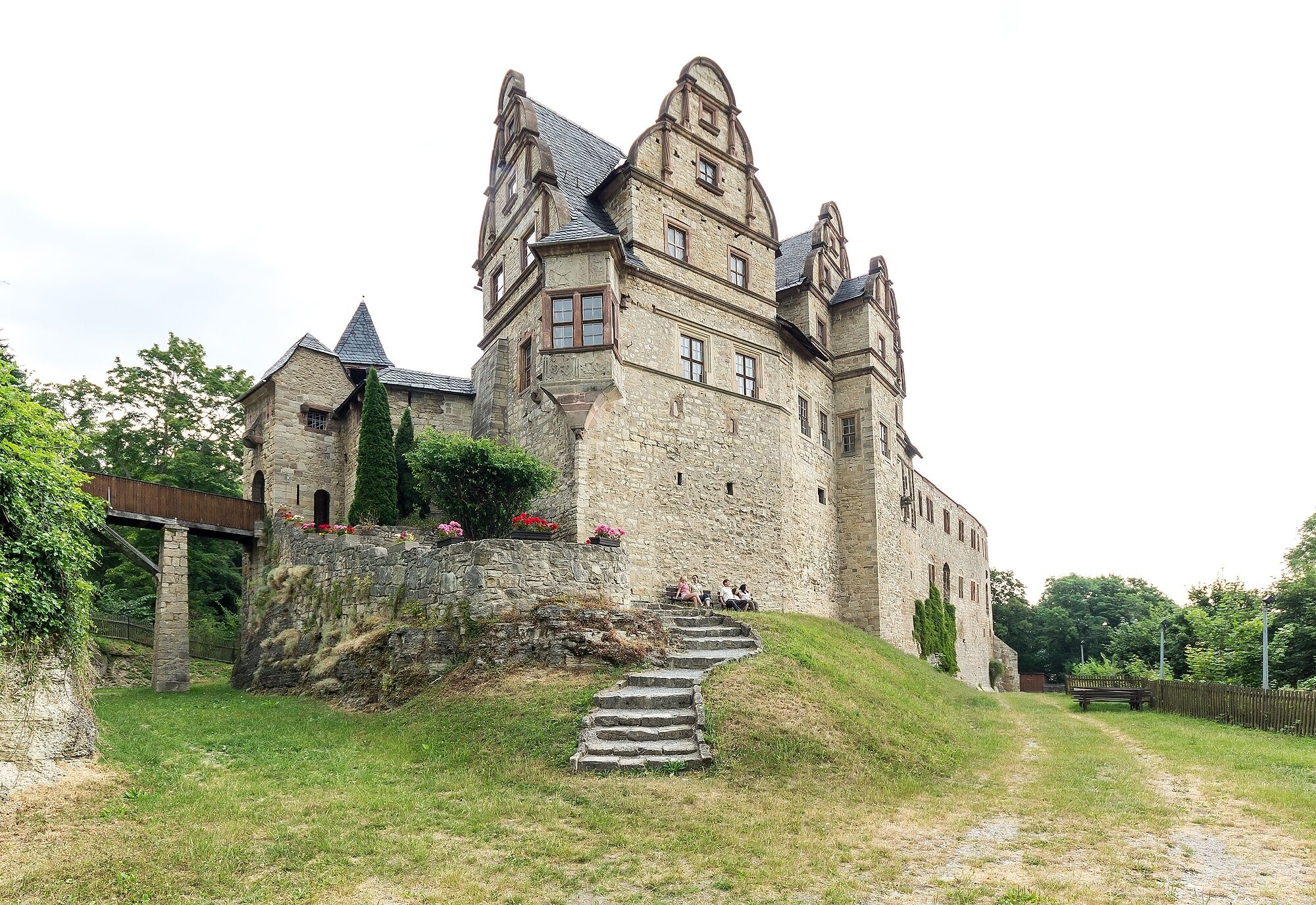
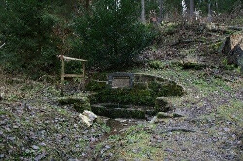
Stage 3: From Kranichfeld via Bad Berka to Weimar | 30 kmFrom Kranichfeld, the signs lead directly to Tannroda, a small town in the Weimarer Land region with a castle and fortress worth seeing as well as the Thuringian Basket Maker Museum. The route continues through picturesque countryside to the spa town of Bad Berka, which has been a bathing resort for almost 200 years. The spa park in the middle of the town offers artistic attractions for the eyes and ears, Kneipp facilities and the Goethe Fountain, whose water promises healing effects.Via the villages of Hetschburg, Buchfart, Oettern it goes to Mellingen. It is a well-maintained section of the route. This stage ends in the Ilmpark of the cultural city of Weimar. Here a longer stay is to be planned, in order to be inspired by the classical city.
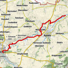
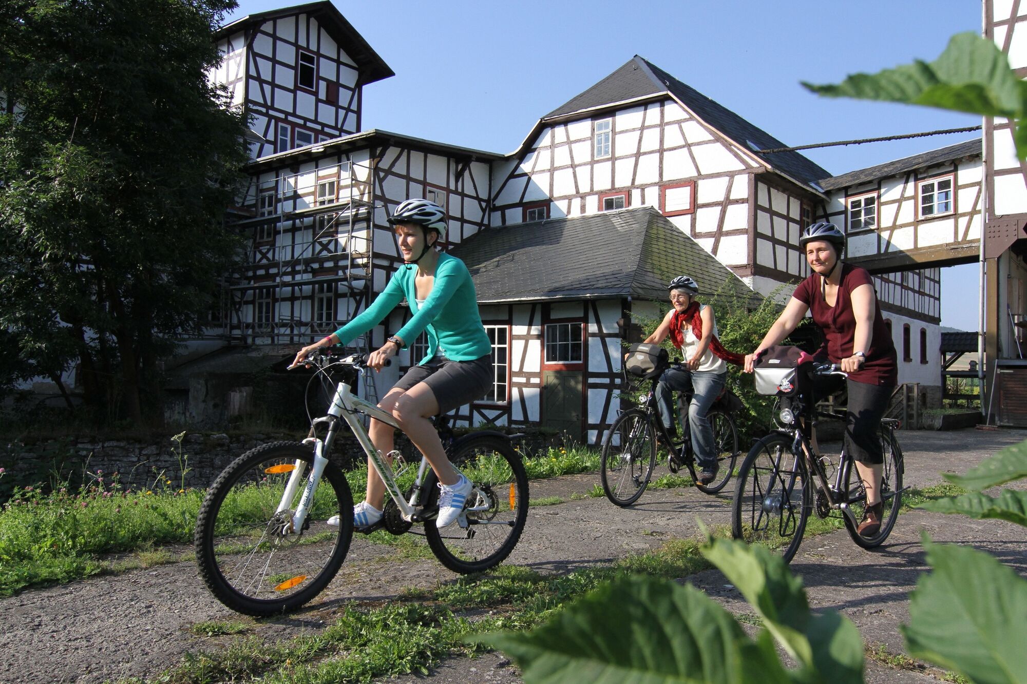
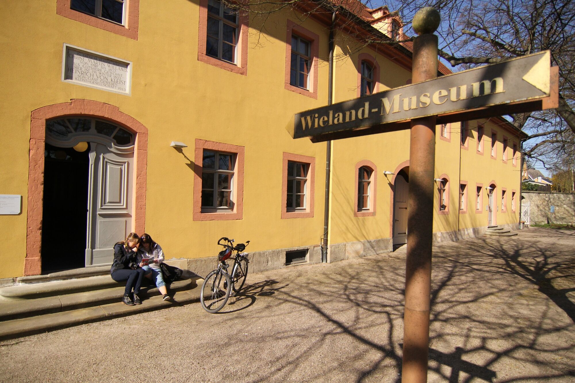
Stage 4: From Weimar to Eberstedt | 25 kmIt is a charming route along small villages, whose face is often marked by the classical Weimar: The parks of Tiefurt and Kromsdorf are connected by the Maria-Pawlowna-Promenadeweg. In both places you will find a castle that tells stories about the court of the Muses of Duchess Anna Amalia and the work of the Grand Duchess and Russian Grand Duchess Maria Pavlovna. In Denstedt, the mill and the castle above the Ilm River particularly catch the eye. Near the village, cyclists will find a well-equipped rest area that offers a wonderful view over the countryside.After a visit to the Wieland estate in Oßmannstedt, the bike path leads to Niederroßla and Zottelstedt. Via Wickerstedt this stage ends in Eberstedt. A visit to the historic oil mill is recommended here.
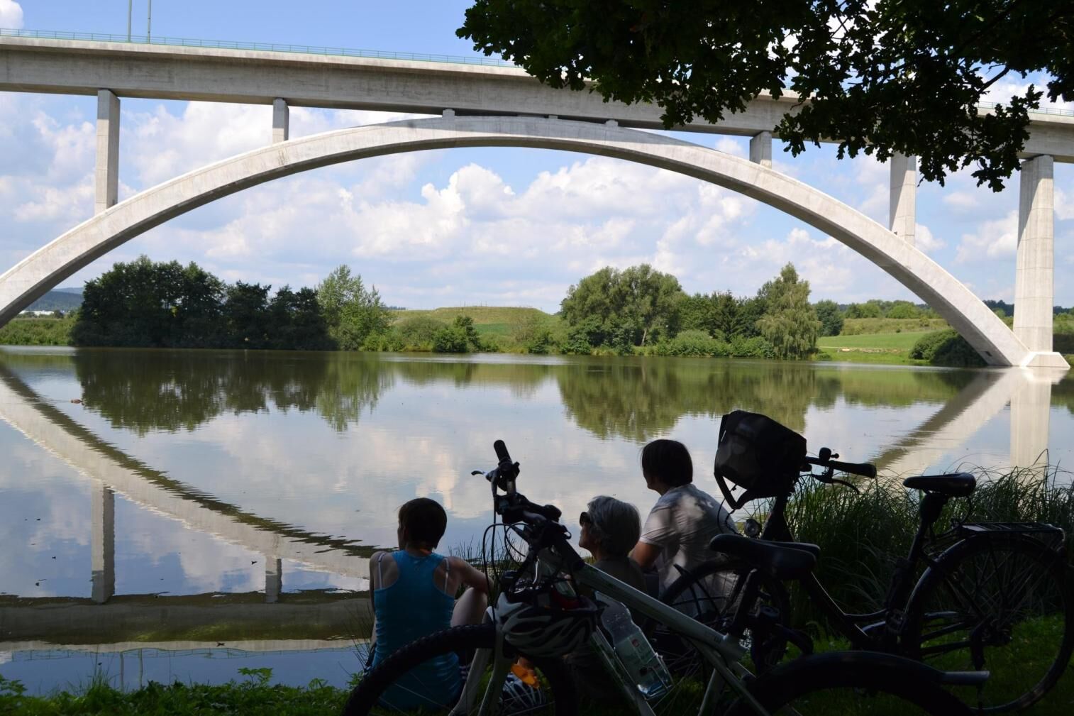
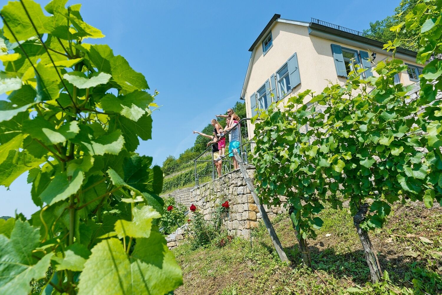
Stage 5: From Eberstedt via Bad Sulza to the estuary | 14 kmAfter a break at the historic oil mill in Eberstedt, the route continues downhill to Bad Sulza - Thuringia's popular spa and wine town. Here you can take a leisurely stroll through the historic spa park, or pay a visit to the Trinkhalle and the "Louise" graduation house. Out of the city, you are accompanied by vineyards all the way to the mouth of the Saale River. At the end of the Ilmtal cycle path, you can continue on the Saale cycle path or stop for a bite to eat: The Zahn winery awaits with award-winning Saale-Unstrut wines and good gastronomy. By the way, from the train station in Großheringen you can easily return to Weimar - bicycle transport is possible.
- Highest point
- 753 m
- Endpoint
-
Kaatschen-Weichau
- Height profile
-
 © outdooractive.com
 - Safety instructions
-
Dear visitors to this website,
Our tours have been researched and compiled with great care and to the best of our knowledge and belief. The use of our tour suggestions, especially walking and cycling on cycle paths and hiking trails and visiting places of interest in the Weimarer Land region, is at the user's own risk. No liability can be accepted for the accuracy of descriptions, opening times, maps, GPS tracks and information on objective dangers.
Weimarer Land Tourismus e. V.
- Tips
-
After Oberroßla, it is worth taking a detour to the bell city of Apolda, which is home to modern knitwear and art. Thus, the Kunsthaus Apolda Avantgarde can boast exhibitions of high-ranking artists. In addition, the Dobermann dog breed originates from Apolda.
- Public transportation
-
You can get to the starting point in Allzunah via the train stations: Rennsteig (2.5 km to Allzunah; only served at weekends/on public holidays timetable), Gehlberg (17 km) and Ilmenau (15 km). From Ilmenau, continue by bus in the direction of Frauenwald, but there are only two cycle parking spaces on the bus. However, it is possible to have the bikes brought from Ilmenau to Allzunah by bike transfer. At weekends and on public holidays, the Erfurt-Bahnhof/Rennsteig direct connection is available. There are stations for "lateral entrants" or downstream in Stadtilm, Kranichfeld, Tannroda, Hetschburg, Bad Berka, Mellingen, Weimar, Oßmannstedt, Apolda, Niedertrebra and Bad Sulza. At the Großheringen terminus, you can use the local train station for your departure.

-
-
AuthorThe tour Ilmtal Cycle Path - From the Rennsteig through the Weimarer Land to the Saale River is used by outdooractive.com provided.


General info
-
Thüringer Wald
61
-
Erfurt
38
-
Weimar
20