© Volker Schaedel

© Volker Schaedel

© Volker Schaedel

© Volker Schaedel

© Volker Schaedel

- Brief description
-
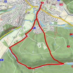
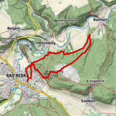
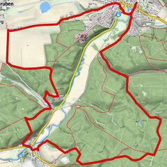
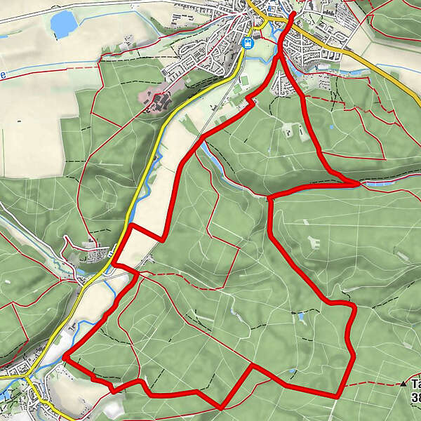
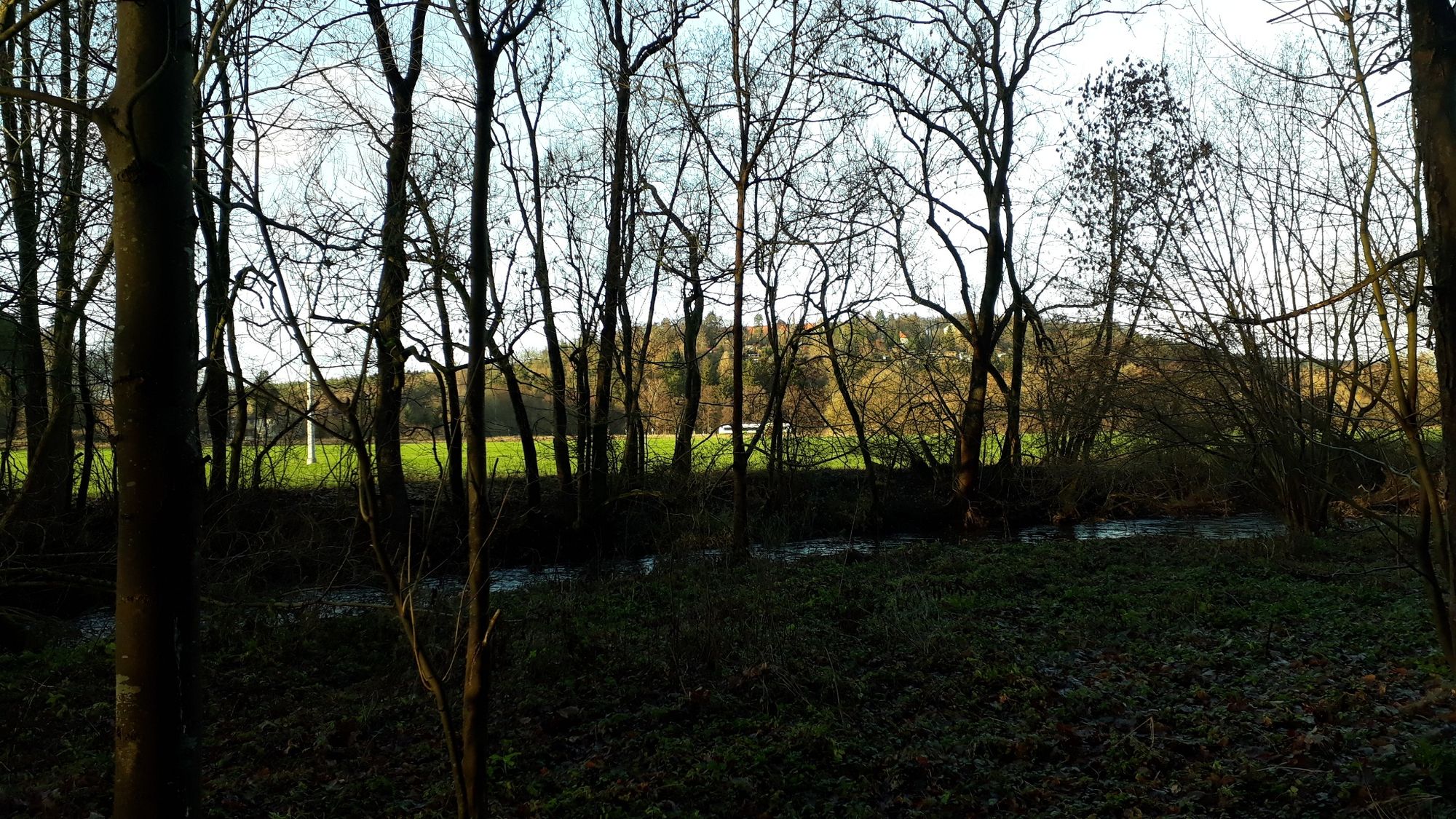
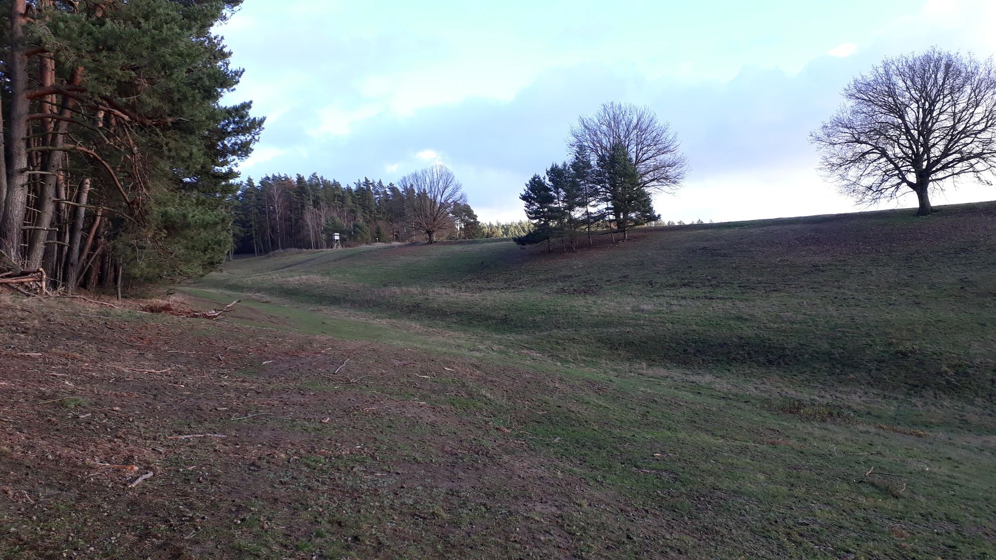
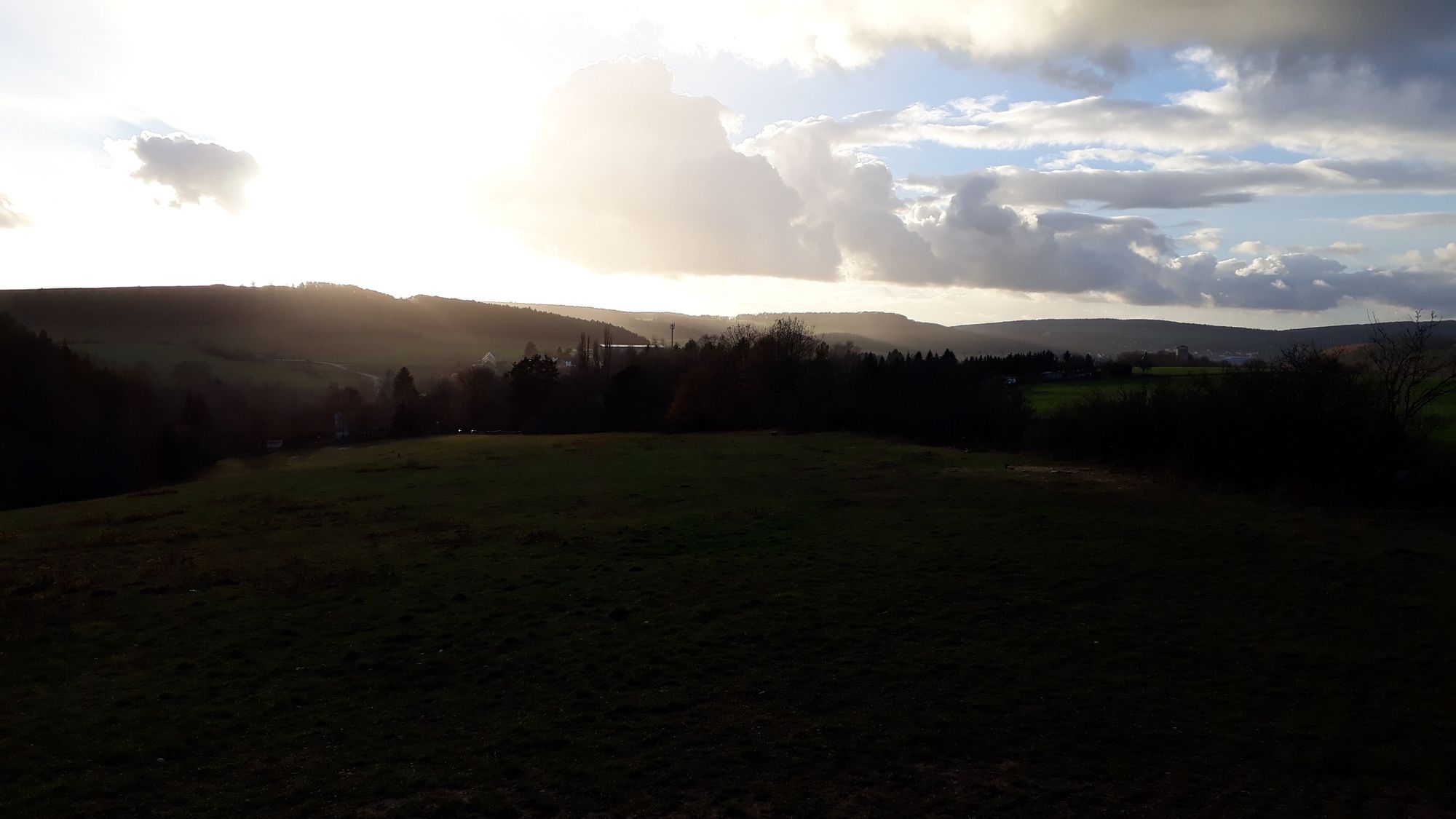
Tourist-Information - Katholische Kirche - Hosentalhütte - Fernblickhütte - Alexanderhütte - Borkenhütte - Kohlgrundhütte - Dammbachsgrundhütte - Heustielhütte - Tourist-Information
- Difficulty
-
medium
- Rating
-
- Route
-
Bad Berka0.0 kmSt. Marien0.5 kmCarl-Friedrich-Quelle12.5 kmBad Berka15.7 km
- Best season
-
JanFebMarAprMayJunJulAugSepOctNovDec
- Highest point
- 382 m
- Endpoint
-
Tourist-Information Bad Berka
- Height profile
-
 © outdooractive.com


- Author
-
The tour Kohlgrund-Route is used by outdooractive.com provided.
GPS Downloads


Other tours in the regions
-
Thüringer Wald
41
-
Erfurt
7
-
Weimar
7