- Brief description
-
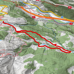
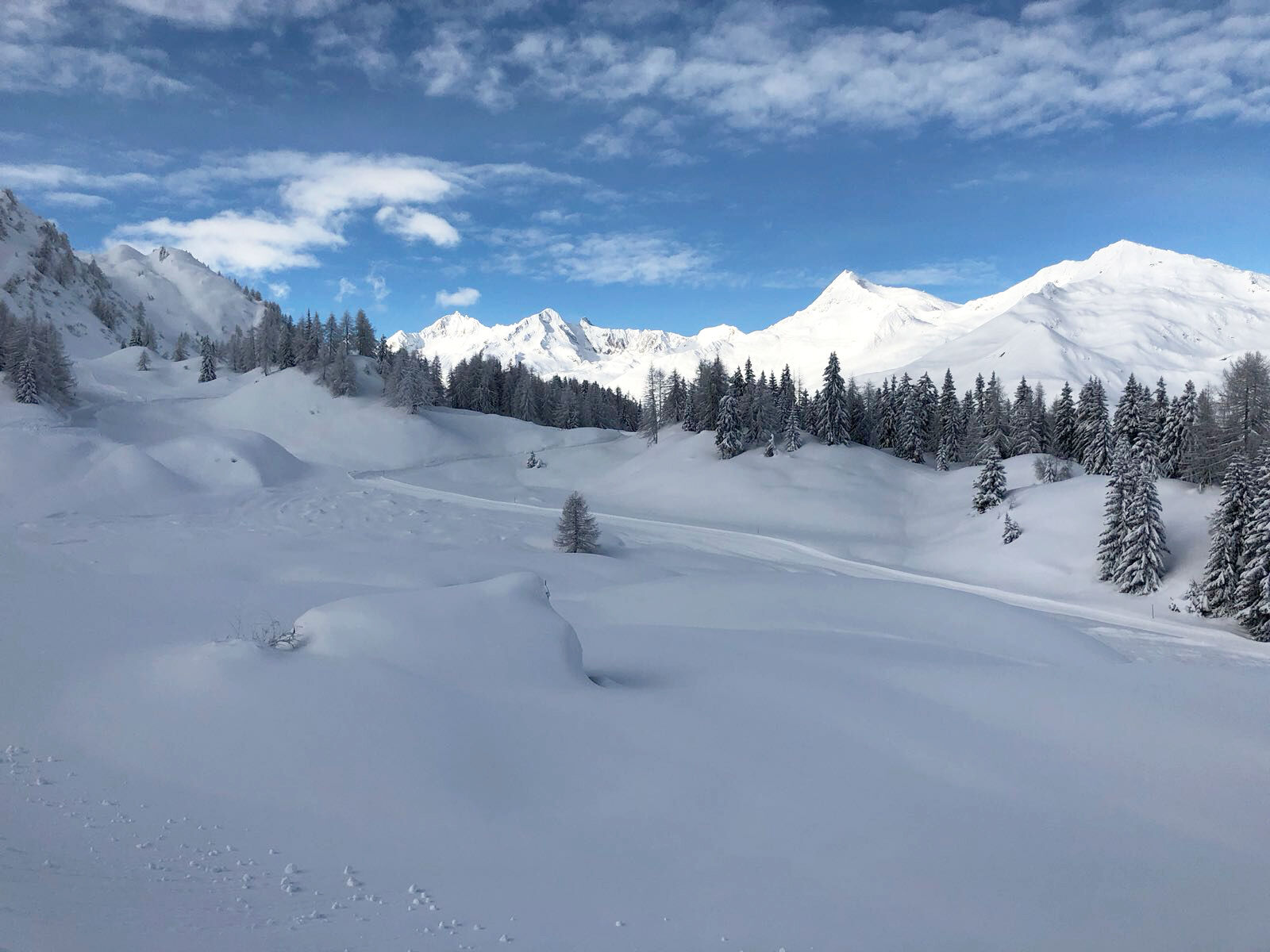
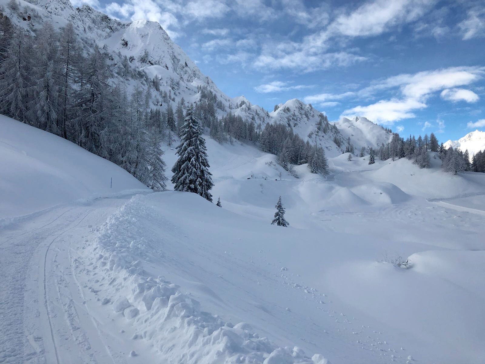
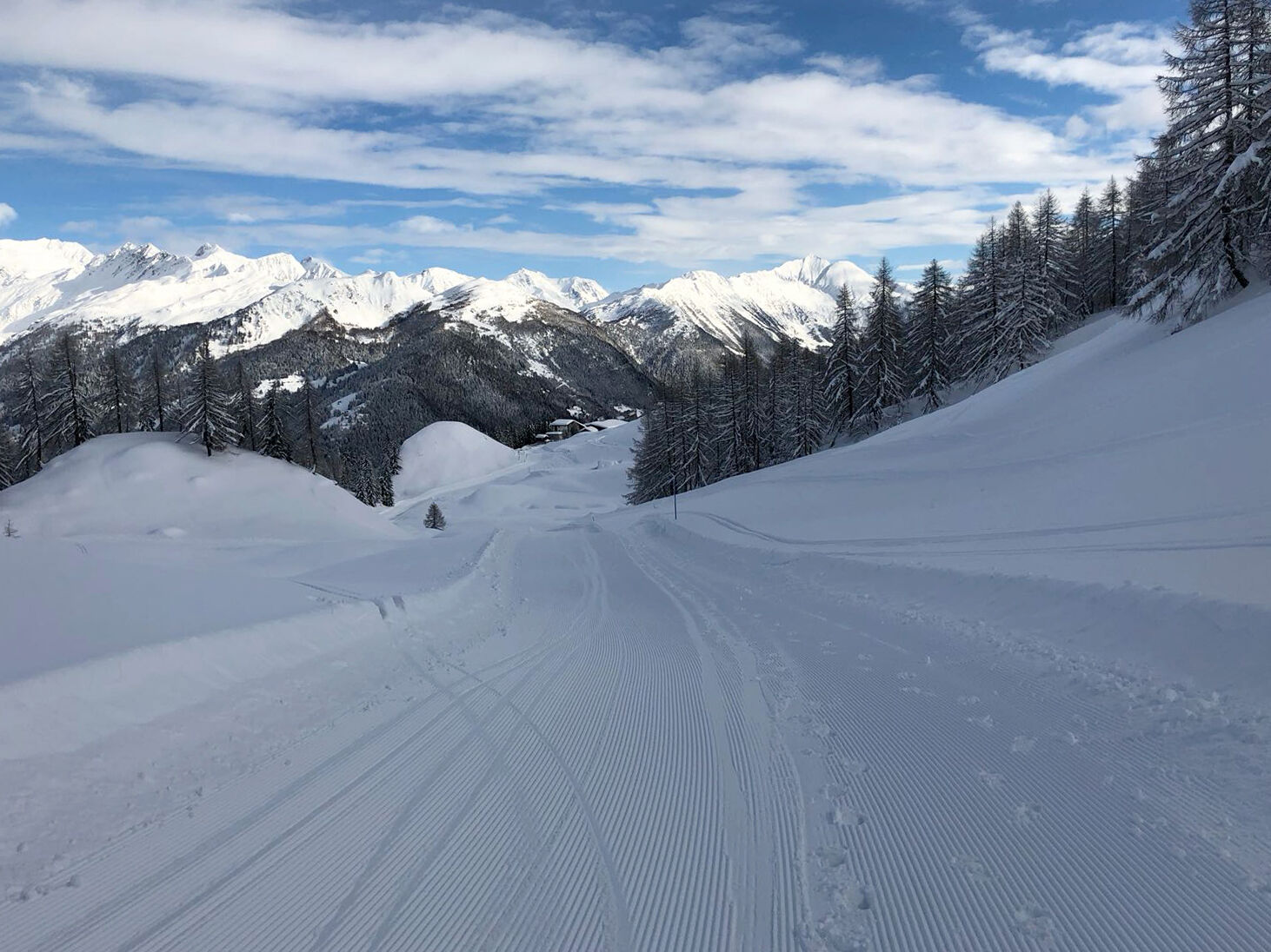
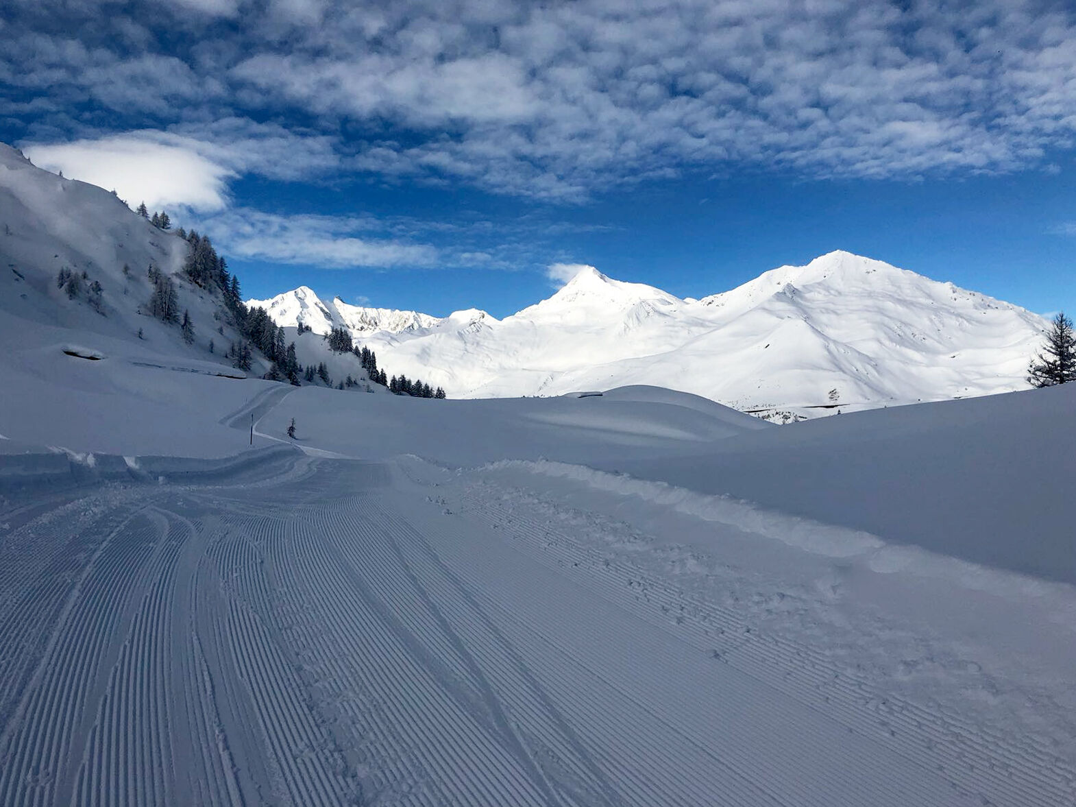
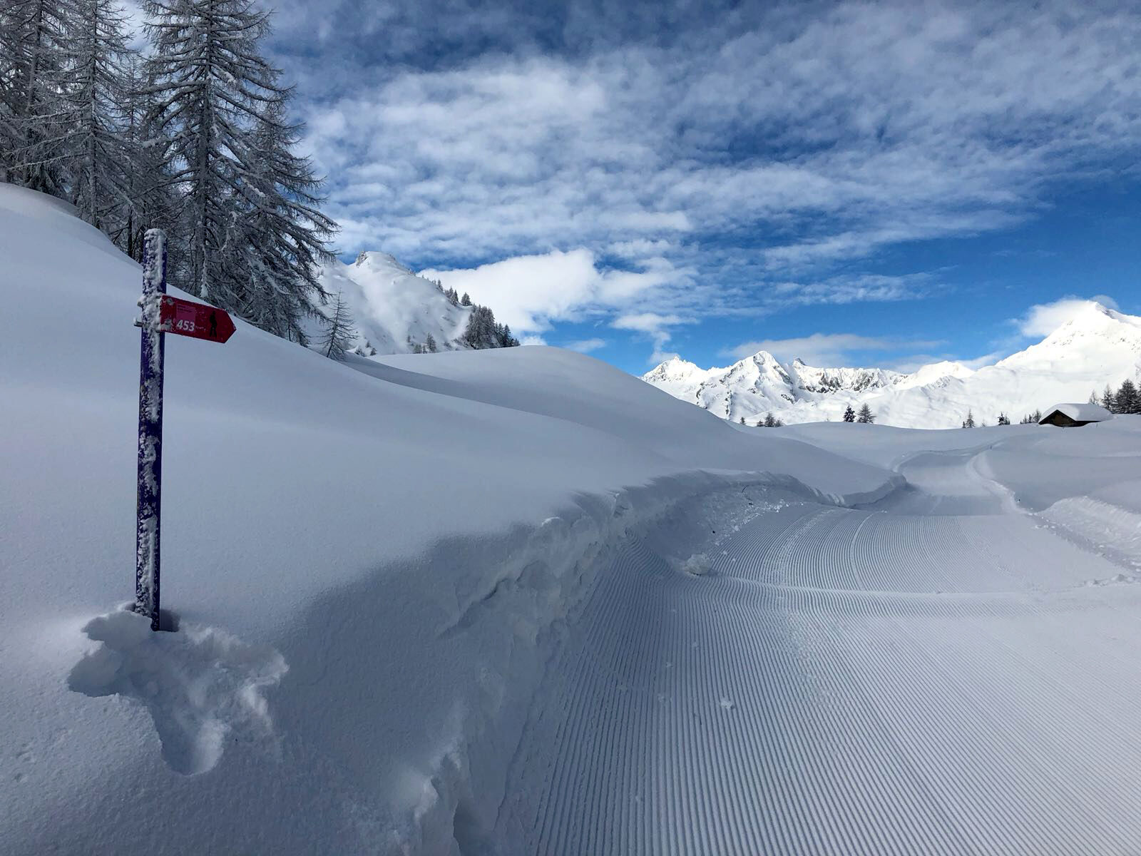
The winter hiking trail between Airolo and Pesciüm, overlooking the majestic massif of the St. Gotthard, offers a privileged point of view to enjoy the scenic landscapes of the heart of the Swiss Alps.
- Difficulty
-
easy
- Rating
-
- Starting point
-
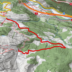
Airolo, Pesciüm
- Best season
-
AugSepOctNovDecJanFebMarAprMayJunJul
- Description
-
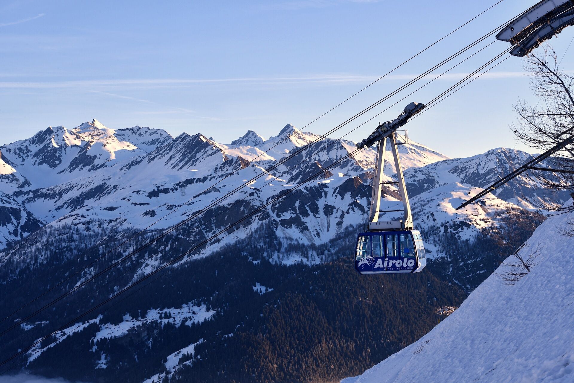
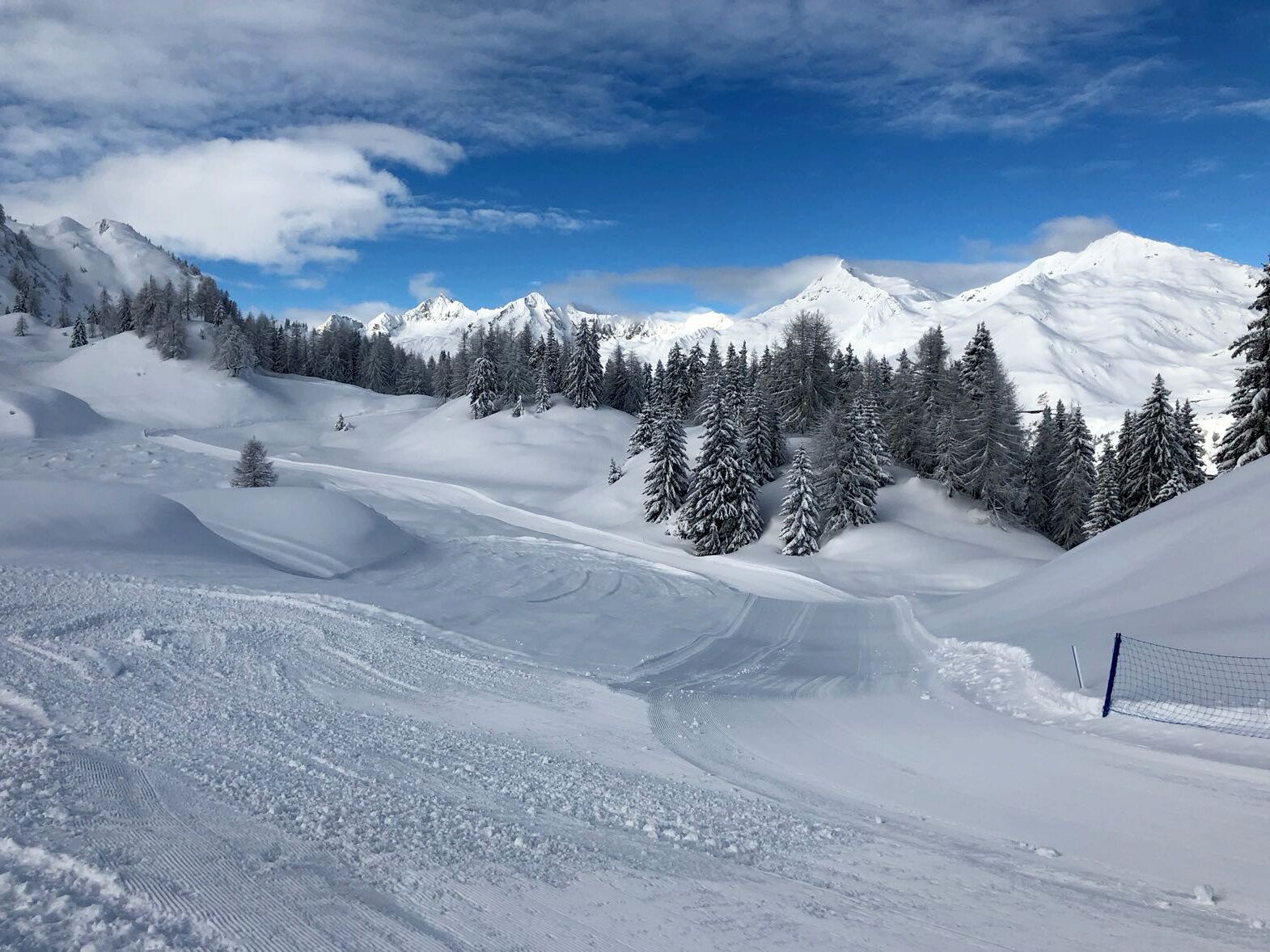
In no time the modern cableway of the lift facilities that connect Airolo, which can be easily reached from the motorway exit, to Pesciüm, takes you quite suddenly into a universe covered in glistening white. Once you get at a height of nearly 1,800 m, you can follow the hiking trail and quickly move away from the ski slopes.
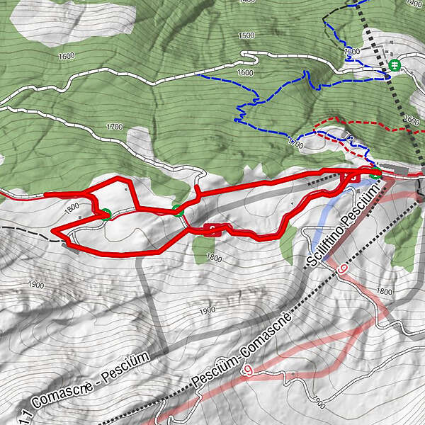
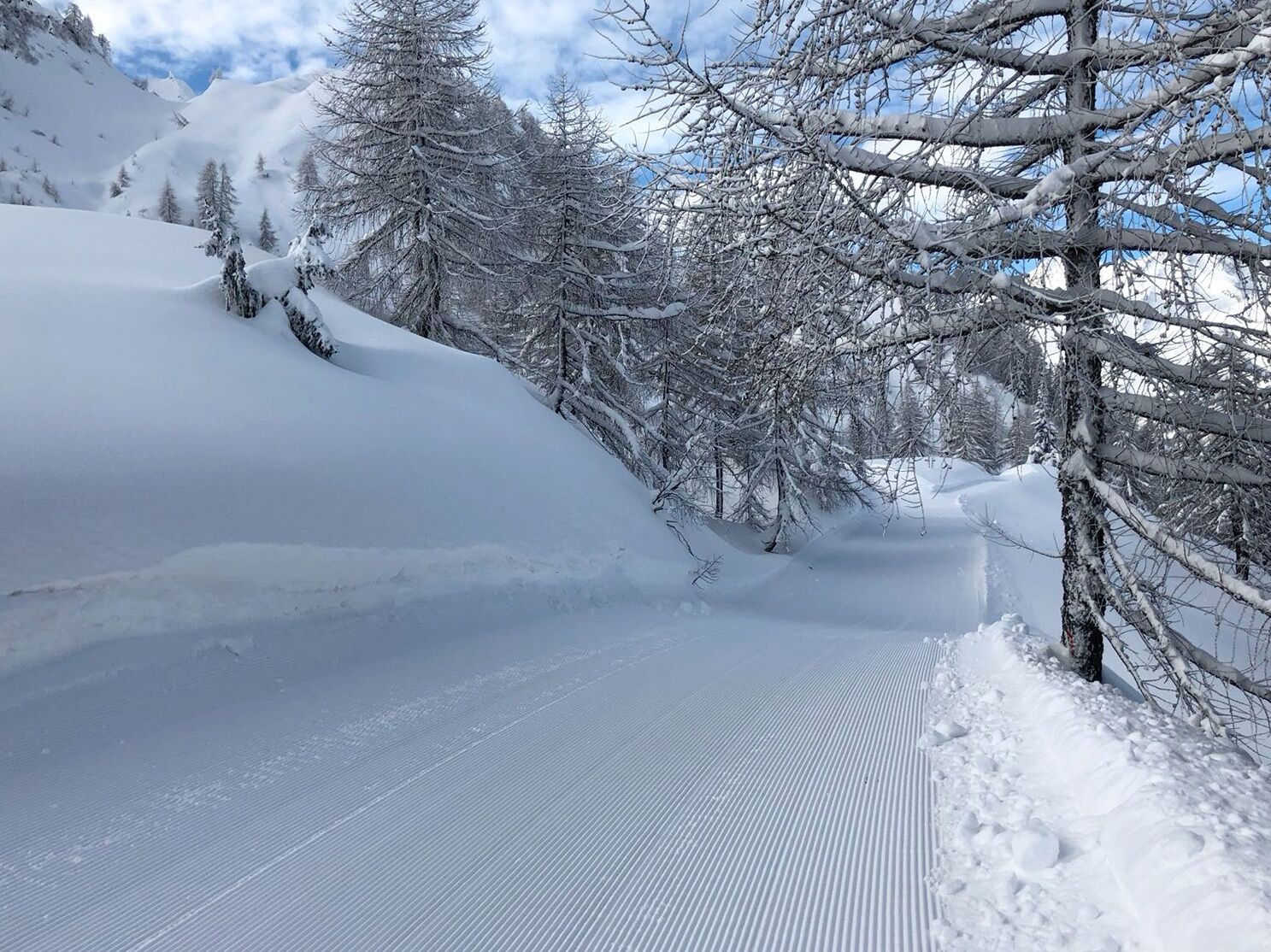
Along the circular route, with no significant difference in height, you will discover pristine wilderness and enjoy soothing silence. Halfway up the path, the long walls of the Cascina Nuova will remind you that under the thick blanket of snow all around you lies the grazing land, which in the summer becomes the scene of busy alpine life.
Once back in Airolo, we recommend you taste a lunch of regional products at the Pesciüm Restaurant a stone's throw from the departure station of the cableway. - Highest point
- 1,811 m
- Endpoint
-
Airolo, Pesciüm
- Height profile
-
 © outdooractive.com
 - Equipment
-
Equipment:
Hiking stick Sun cup Gloves Sunglasses Sun cream Water-bottle - Safety instructions
- Tips
-
For winter walks, follow the logo indicated on the rose signposts: Sentiero Airolo - Pesciüm 453
- Additional information
- Author
-
The tour Sentiero Airolo - Pesciüm (SwitzerlandMobility 453) is used by outdooractive.com provided.


-
Uri
144
-
Ritom - Piora
33
-
Airolo
9


")