© NIVEA Wandertour/Randonnées NIVEA - Schweizer Wanderwege / Suisse Rando


- Brief description
-
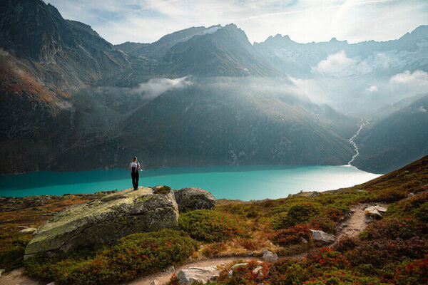
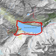
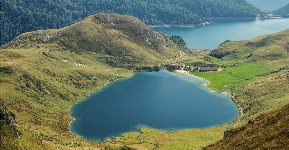
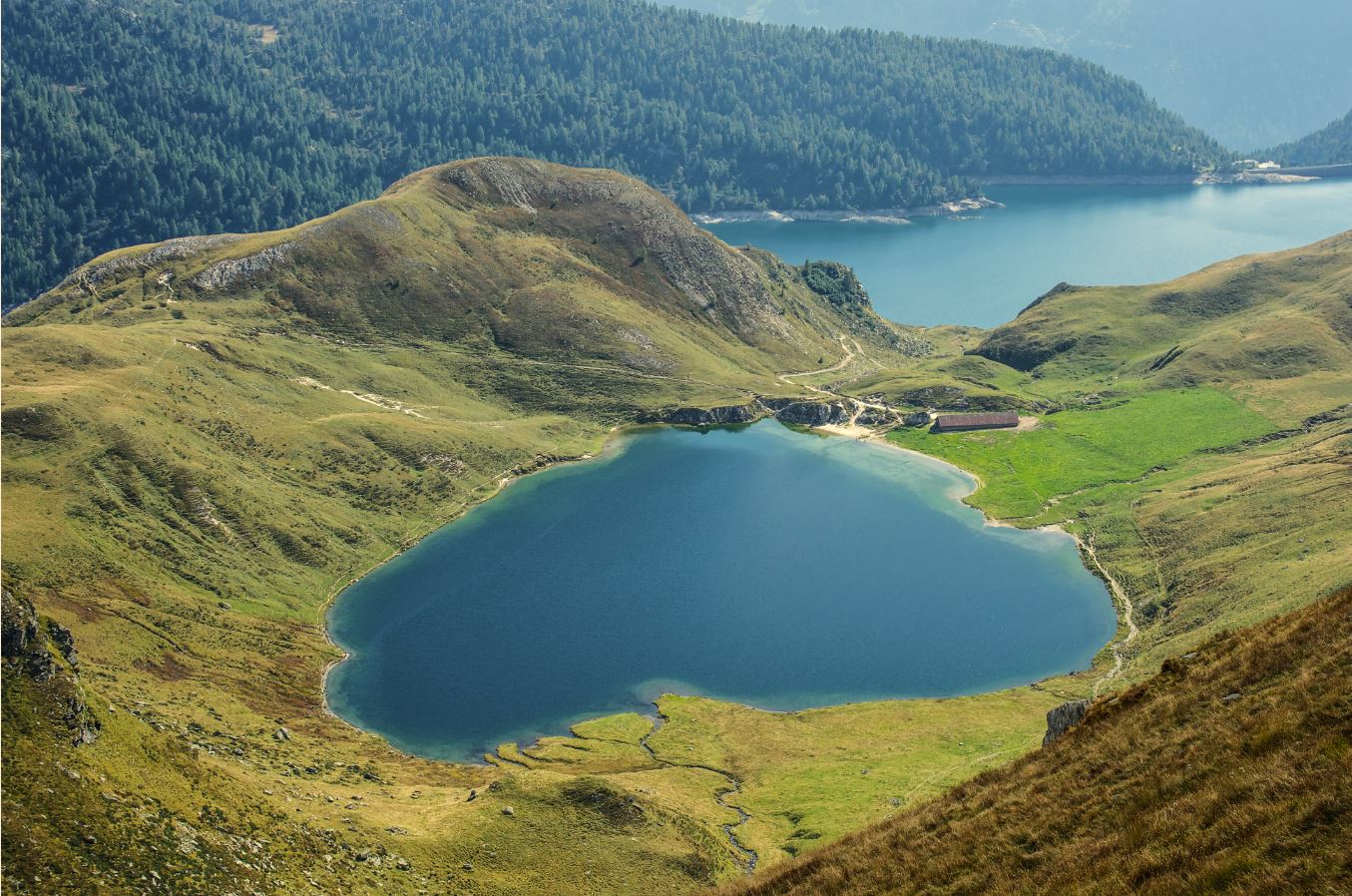
Zauberhafte Bergseen im Val Piora
- Difficulty
-
medium
- Rating
-
- Route
-
Capanna Cadagno (1,987 m)5.5 kmAlla Diga11.4 km
- Best season
-
JanFebMarAprMayJunJulAugSepOctNovDec
- Highest point
- 2,128 m
- Endpoint
-
Bergstation der Piora-Seilbahn
- Height profile
-
 © outdooractive.com
 - Directions
-
De Bellinzona en direction nord sur la A2 pour Ambriì-Piotta, continuer sur la B2 et la Via Funiculare Ritom jusqu'à la station inférieure
- Author
-
The tour Route Piora – Piora is used by outdooractive.com provided.
GPS Downloads


General info
Refreshment stop
A lot of view
Other tours in the regions
-
Uri
1548
-
Ritom - Piora
459
-
Airolo
121