© Graubünden Ferien - normierte Touren - Romedi Conradin
- Difficulty
-
medium
- Rating
-
- Starting point
-
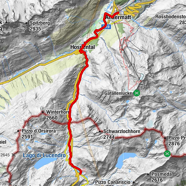
Gotthardpass
- Route
-
Ospizio del San Gottardo (2,091 m)Alte SustScuderiaGotthardpass 2106m0.6 kmMätteli4.7 kmGüetli8.5 kmCentral8.6 kmObergadmen8.7 kmBurg8.8 kmSpeiserestaurant zum Turm8.8 kmHospental (1,493 m)8.9 kmKath. Kirche Mariä Himmelfahrt8.9 kmHimmelbiel8.9 kmHospental (1,452 m)9.3 kmBahnhofgebäude9.3 kmAndermatt (1,447 m)12.6 kmAndermatt (1,436 m)12.8 km
- Best season
-
JanFebMarAprMayJunJulAugSepOctNovDec
- Description
-
The descent into the Urserntal valley leads through the rugged Gotthardreusstal valley, mainly along the old trading route. Suvorov set up his quarters in Hospental in the Hotel St. Gotthard (formerly Ochsen). The route continues along the valley floor to Andermatt.
- Highest point
- 2,109 m
- Endpoint
-
Andermatt
- Height profile
-
 © outdooractive.com
 - Additional information
-
snowfields possible into summer months on high-level sections
- Author
-
The tour 55.02 Gotthardpass - Andermatt, ViaSuworow is used by outdooractive.com provided.
GPS Downloads


General info
Refreshment stop
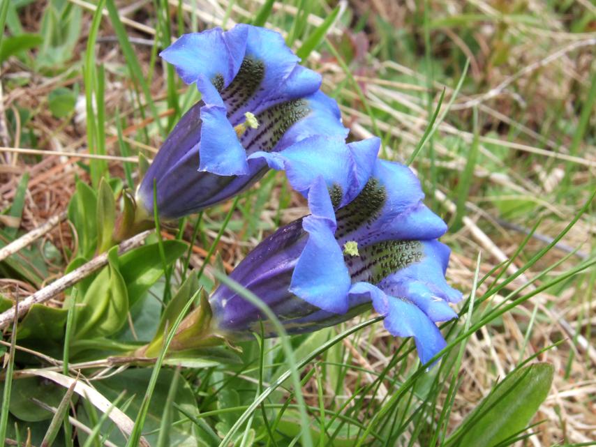
A lot of view