
- Brief description
-
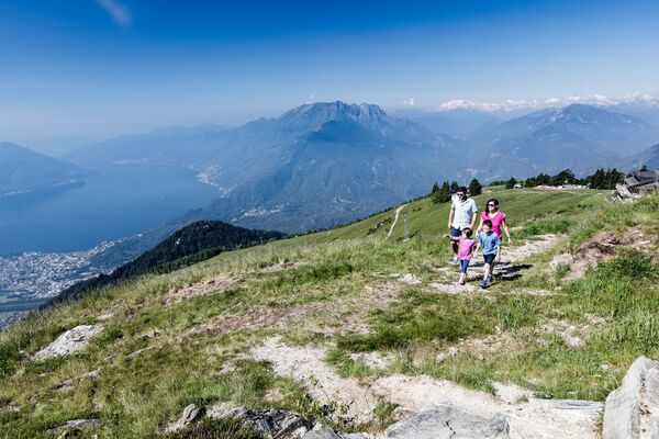
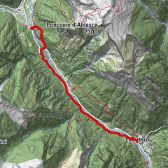
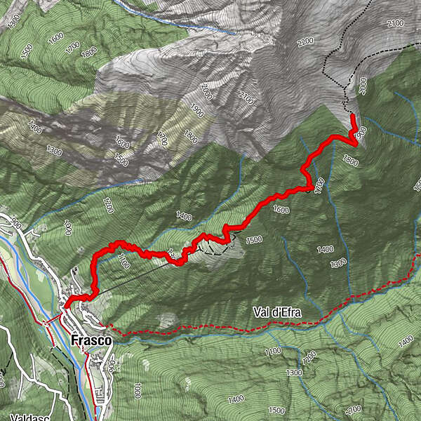
A day's outing to the Alpe Costa above Frasco. This white-red-white waymarked tour is possible from spring to late autumn thanks to its southern exposure.
- Difficulty
-
medium
- Rating
-
- Starting point
-
Frasco, Chiesa
- Route
-
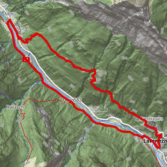
Piè della MottaChiesa di San Bernardo d'AostaFrasco (885 m)0.0 kmRif. Alpe Costa3.7 kmChiesa di San Bernardo d'Aosta7.4 kmFrasco (885 m)7.4 kmPiè della Motta7.4 km
- Best season
-
JanFebMarAprMayJunJulAugSepOctNovDec
- Description
-
Frasco, where the tour starts, is reachable by car or bus (Locarno-Tenero-Sonogno route). The path is relatively steep from the word go. It starts in shady woodland, after which the flora changes and larches become the dominant tree.
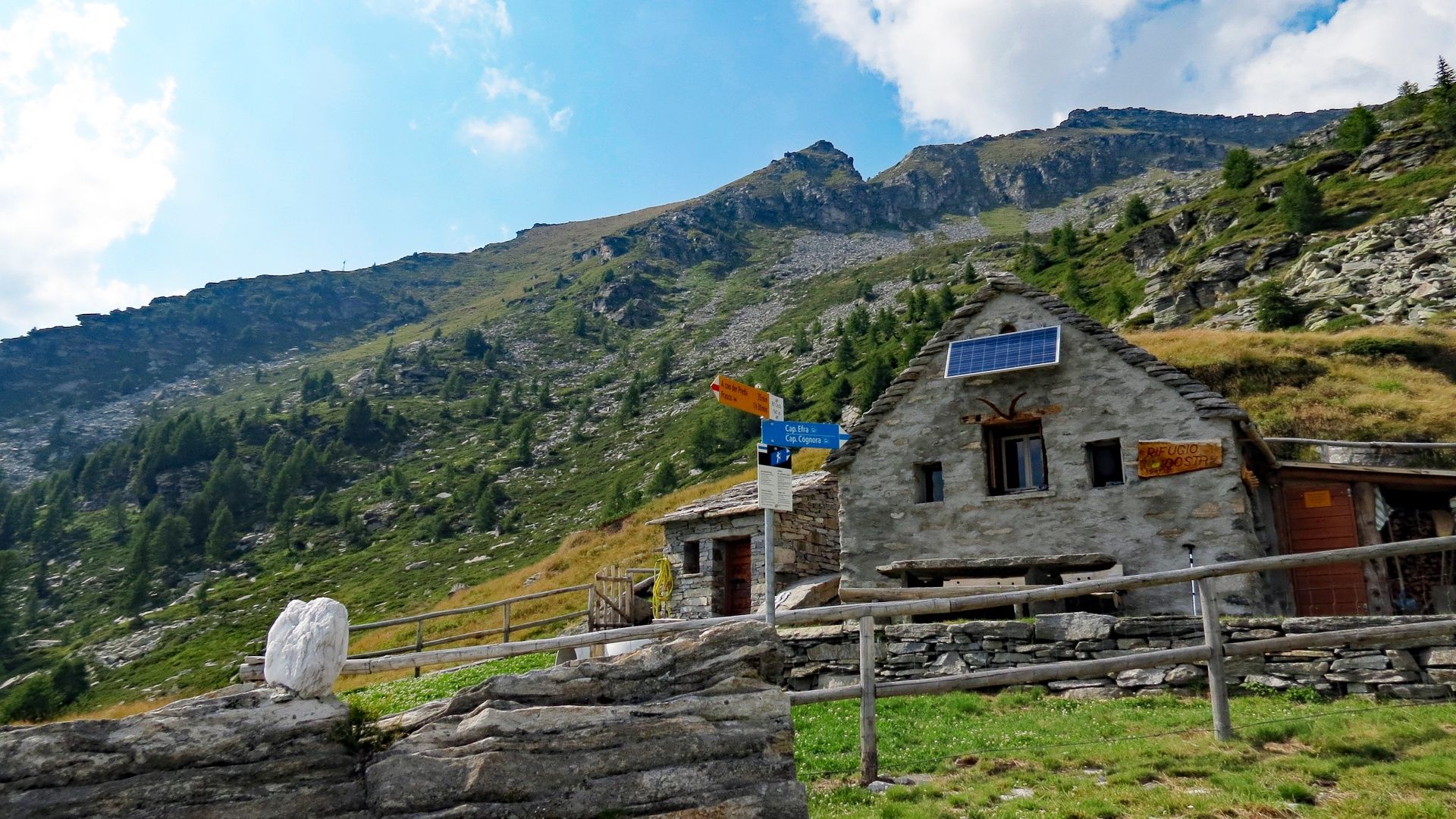
The path zigzags from hamlet to hamlet (the last one being 'A coo der Prèda') then continues zigzagging up to the broad pastures of the Alpe Costa and its eponymous refuge, which provides a great opportunity for kicking back and relaxing. This self-catering refuge (May-October) has seven berths, a shower/WC and cooking facilities.
You go back to Frasco the same way you came up. During the descent, you could pop in to the La Ghironda farm (A coo der Prèda)t o purchase some locally made products such as goat's cheese and sausage. Once back at the Verzasca river, how about a nice refreshing dip after all those exertions (always be careful!)?
- Highest point
- 1,930 m
- Endpoint
-
Frasco, Chiesa
- Height profile
-
 © outdooractive.com
 - Safety instructions

-

-
AuthorThe tour Frasco-Rifugio Alpe Costa-Frasco is used by outdooractive.com provided.