
- Brief description
-
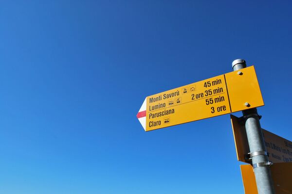
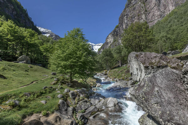
Circular hike high above the valley floor of Gerra. Gorgeous landscapes and fantastic views over the Verzasca valley and surrounding mountains.
- Difficulty
-
medium
- Rating
-
- Starting point
-
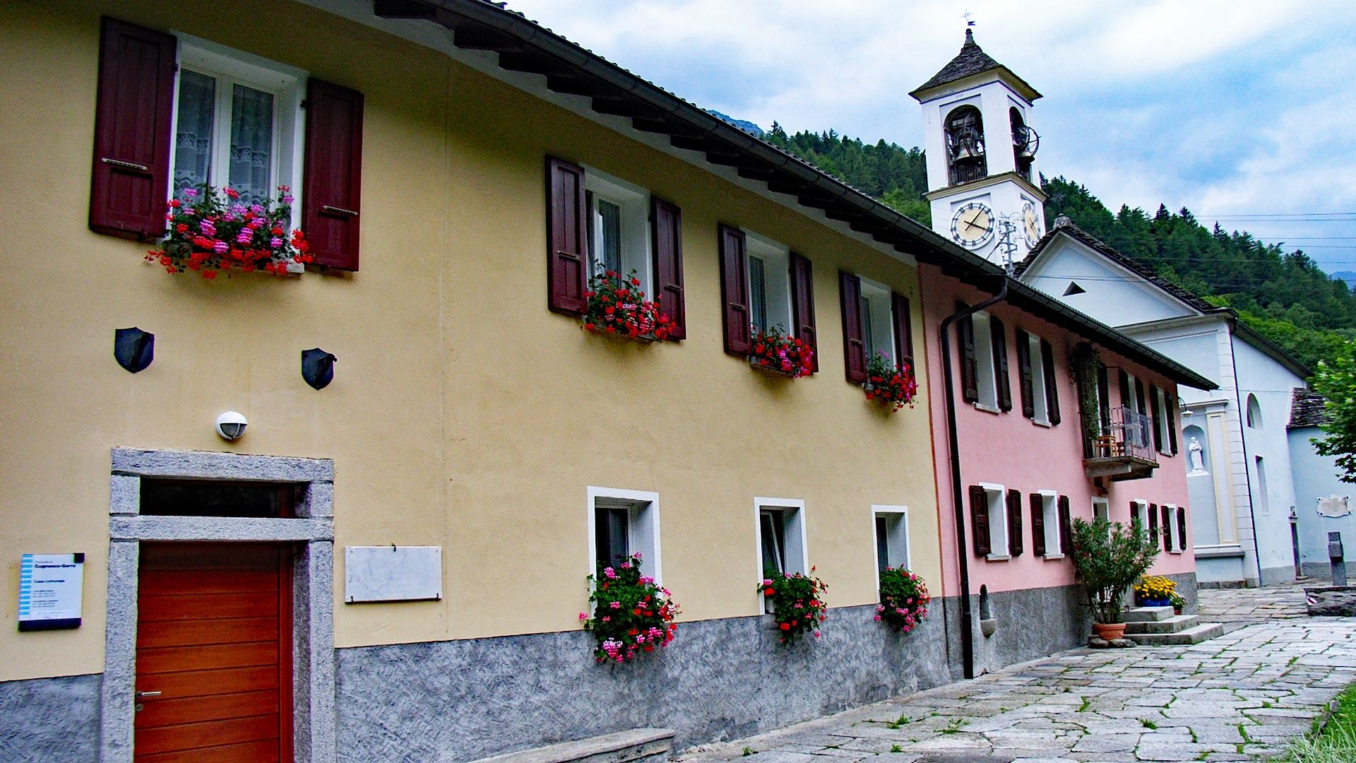
Gerra Verzasca, Al Ponte
- Route
-
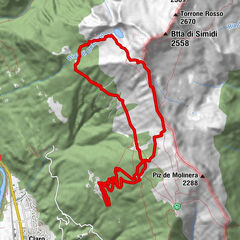
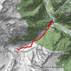
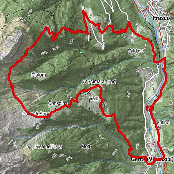
Gerra (Verzasca) (826 m)0.1 kmA Scima ar Cort2.1 kmConscina3.2 kmCorte di Sopra3.6 kmFrasco (885 m)9.7 kmLorentino11.4 kmGerra (Verzasca) (826 m)12.2 km
- Best season
-
JanFebMarAprMayJunJulAugSepOctNovDec
- Description
-
The tour starts and ends in Gerra Verzasca, which can be reached by car or bus (Locarno-Tenero-Sonogno route). A steep forest path leads up to the large alp pasture of Vèld, where local products such as cheese and sausages may be purchased. The route continues its steep ascent to the Corte di Sopra before traversing the Cresta di Cazzai ridge to Cazzai, a lovely summer alp with well preserved stone houses.
The descent to the enchanting, tranquil Monte Valdo is steep, after which the path back to the valley and Frasco presents no problems as it passes through woodland featuring larch, chestnut and many other species. From Frasco the trail follows the Verzasca River back to Gerra Verzasca where the bus (Locarno-Tenero-Sonogno route) leaves. The cooling waters of the Verzasca are on hand if you feel like a dip.
Please note: Take care, as the sheep in Vèld are guarded by dogs.
- Highest point
- 1,872 m
- Endpoint
-
Gerra Verzasca, Al Ponte
- Height profile
-
 © outdooractive.com
 - Safety instructions

-
-
AuthorThe tour Gerra Verzasca-Cazzai-Gerra Verzasca is used by outdooractive.com provided.