- Brief description
-
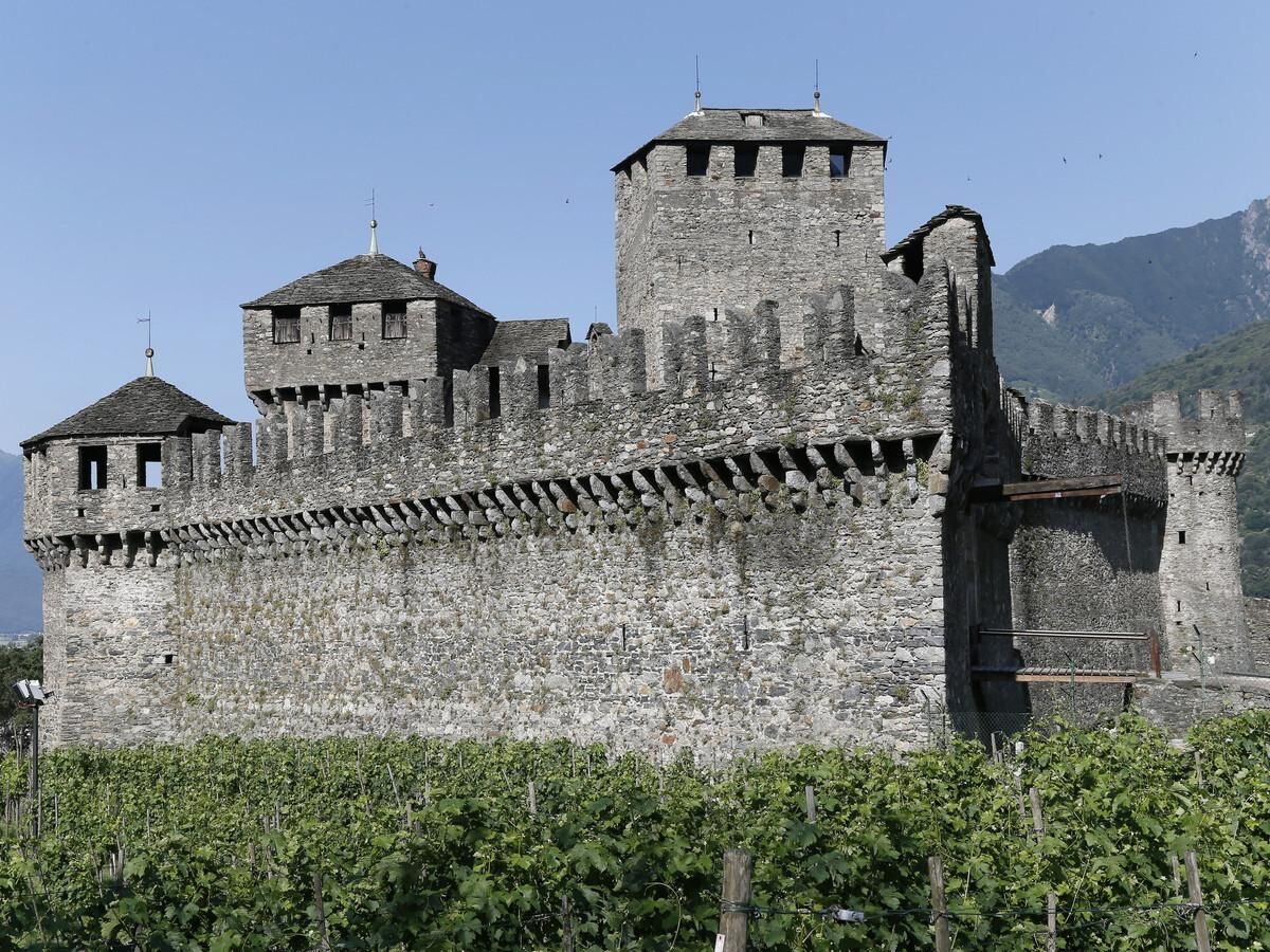
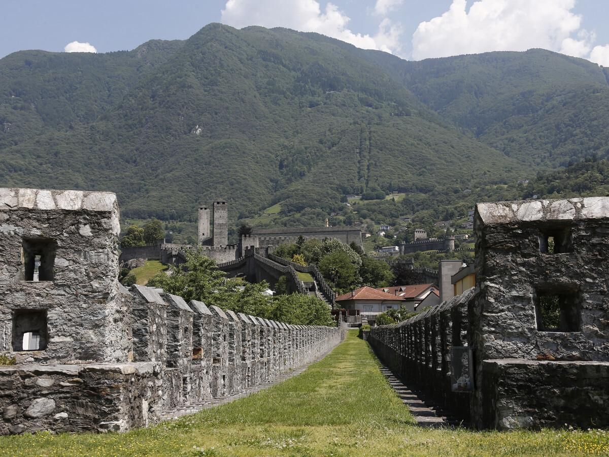
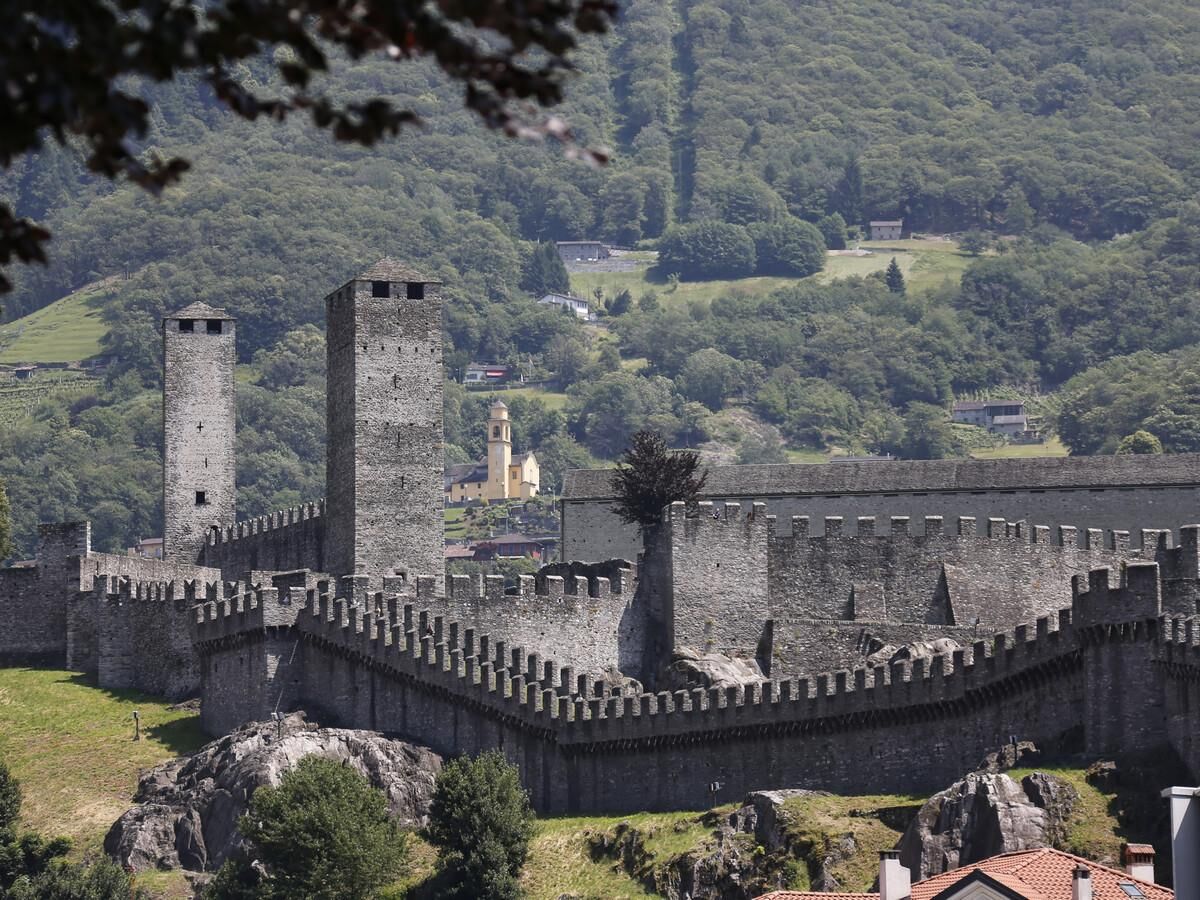
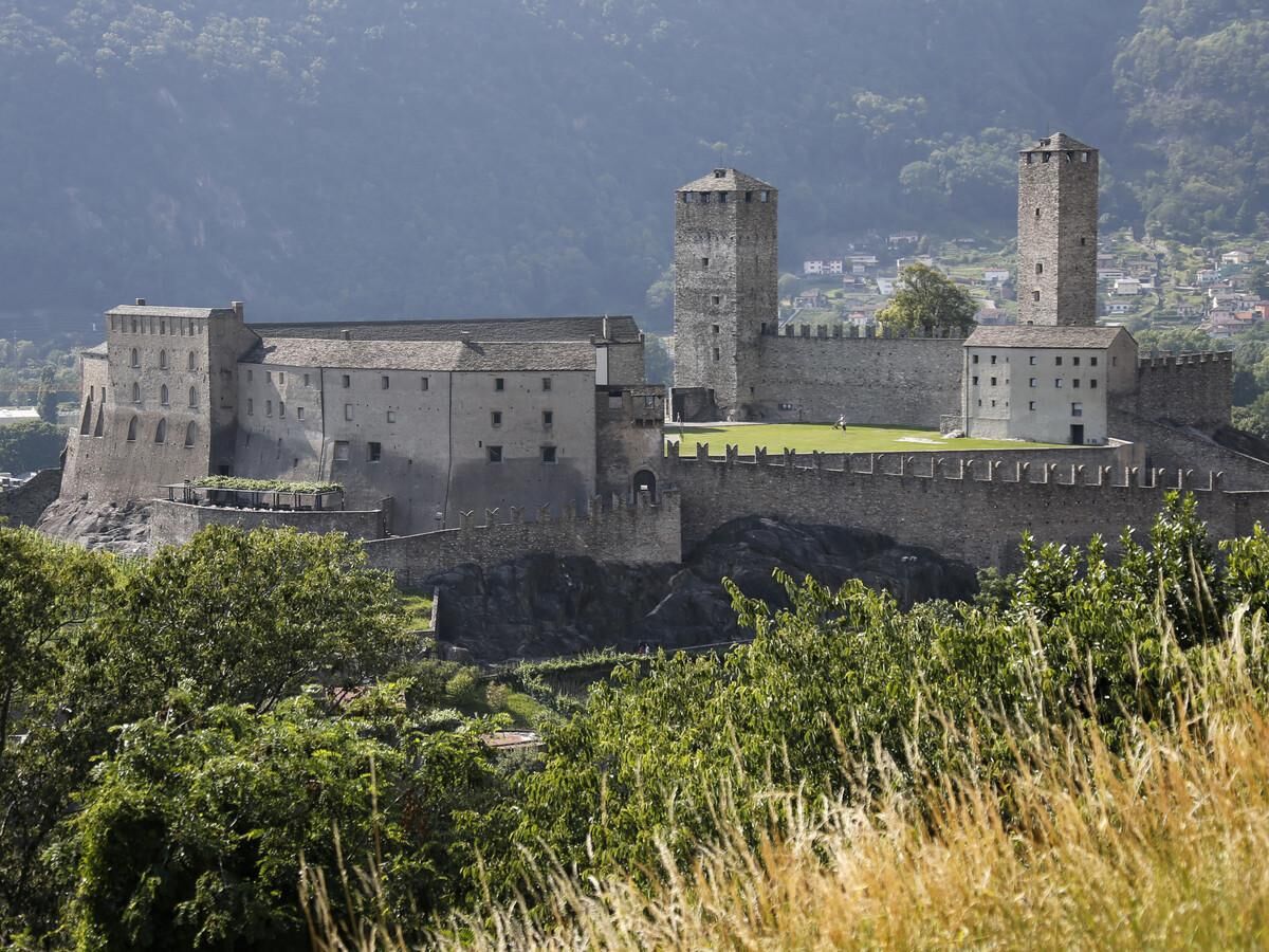
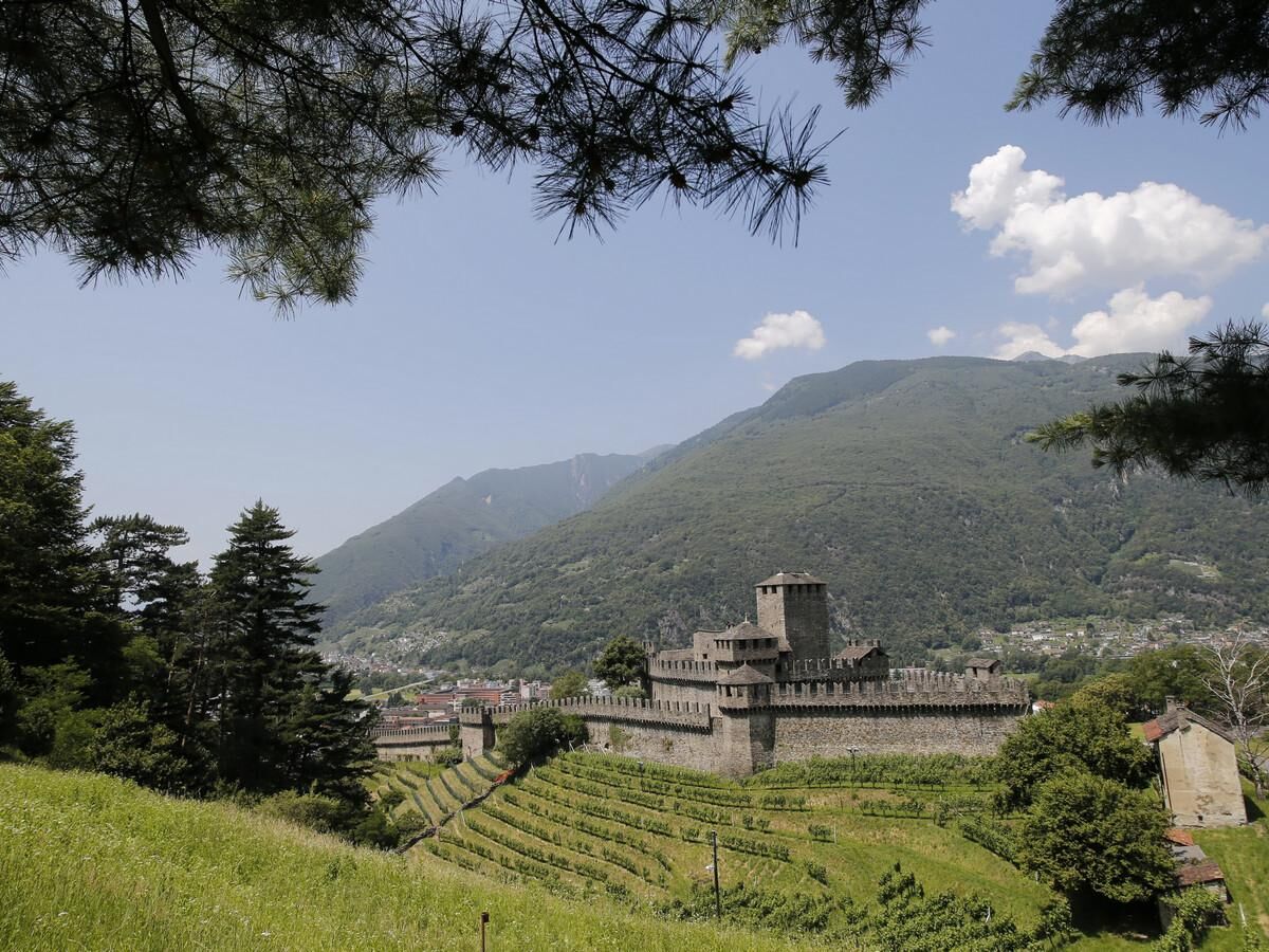
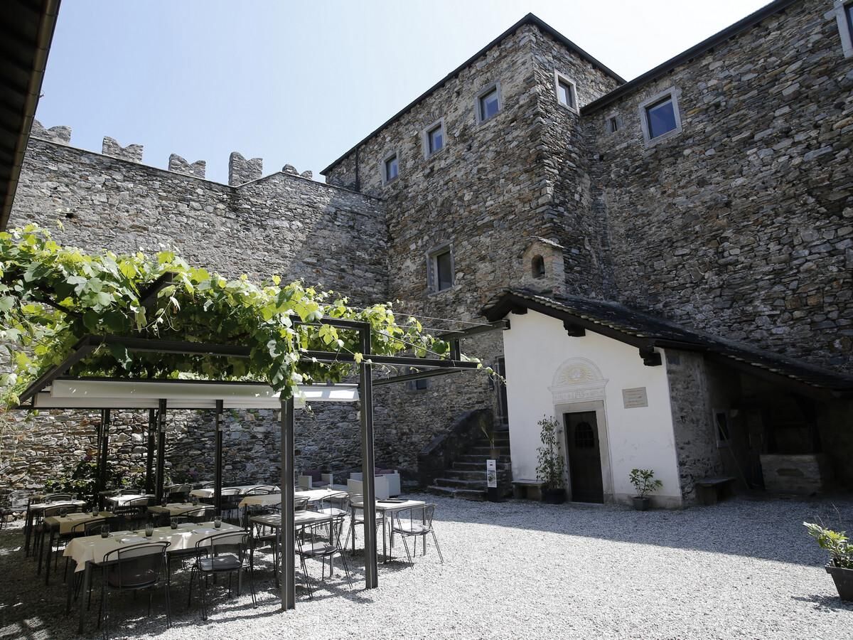
Discover Bellinzona's Fortress and its castles, listed by UNESCO as a World Heritage Site. Castelgrande, Montebello and Sasso Corbaro will allow you to journey back into the past, to a time when dukes and confederates fought in shining armour. Walk along the battlements and through the little doors notched into the thick walls, visit secret rooms and imagine how life was once lived
- Difficulty
-
easy
- Rating
-
- Starting point
-
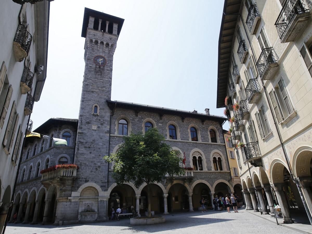
Bellinzona
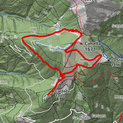
- Route
-
Foto-Spot Castello di Montebello1.3 kmChiesa di San Sebastiano1.9 kmArtore1.9 kmBellinzone (230 m)5.1 km
- Best season
-
JanFebMarAprMayJunJulAugSepOctNovDec
- Description
-
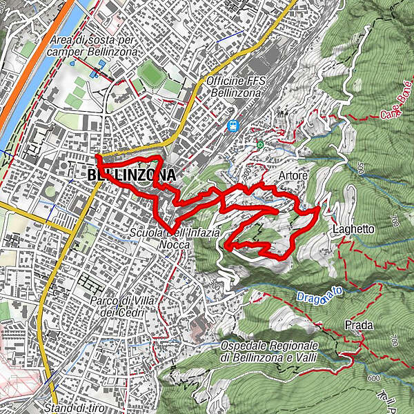
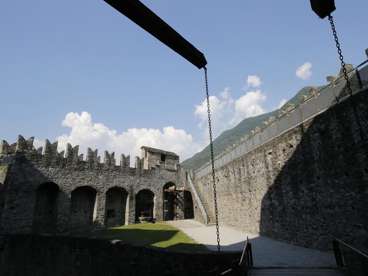
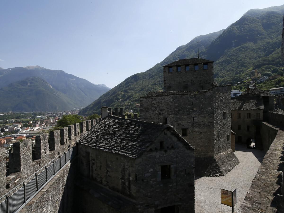
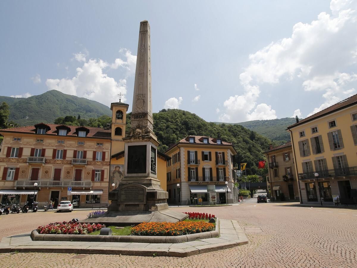
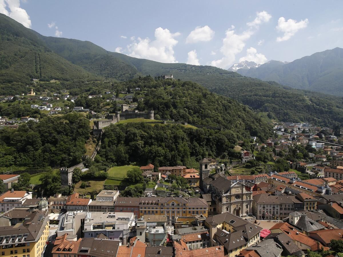
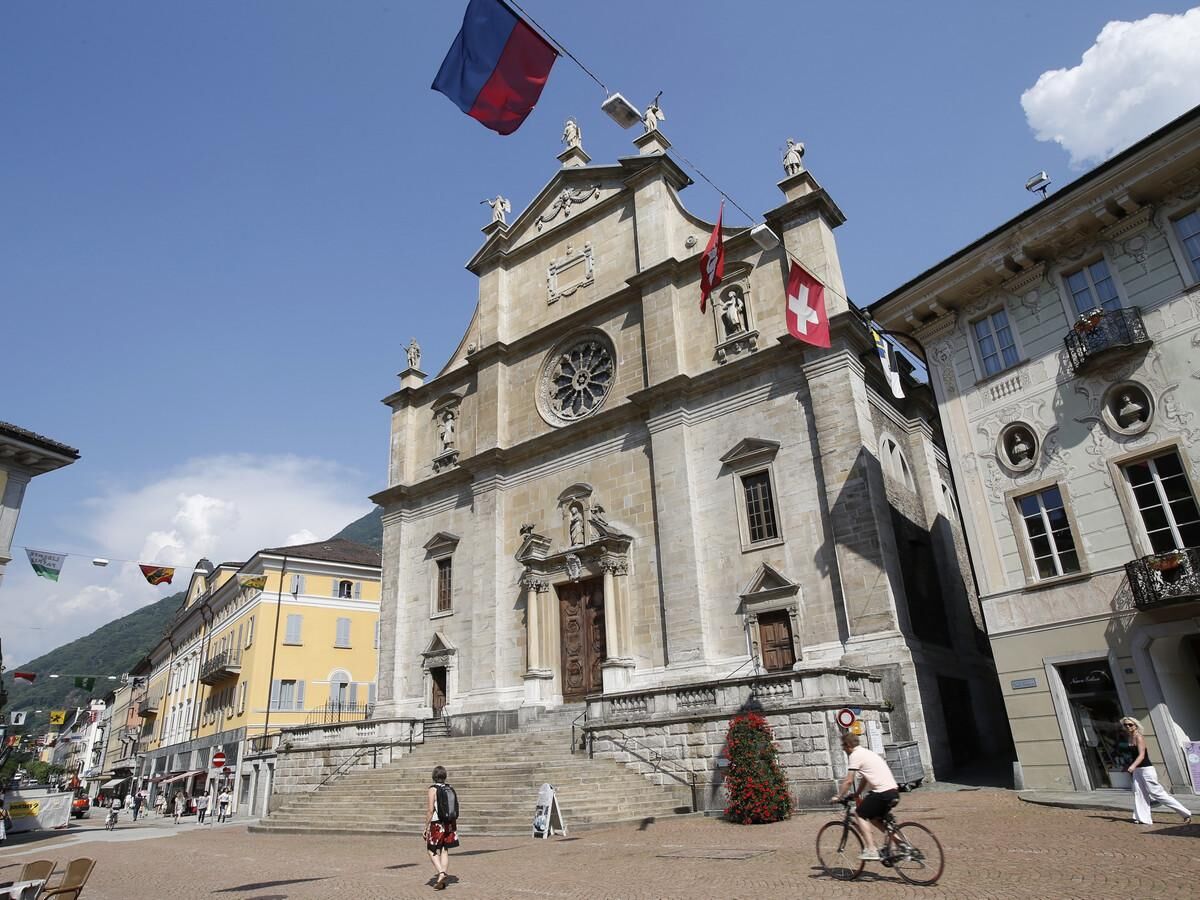
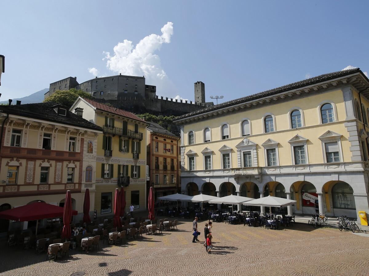
This loop itinerary allows you to discover the Fortress of Bellinzona and its castles, listed in the year 2000 as a World Heritage site. They were built by the dukes of Milan in the Fifteenth Century to stop the Confederates to the north advancing south. Indeed, Bellinzona has long represented a prime strategic location, at the crossing point of the alpine routes between North and South (Gotthard, Lukmanier, San Bernardino, Nufenen).Starting from Viale Portone you access the first Castle, Castelgrande, (or by lift from Piazza del Sole). Castelgrande boasts two tall towers and some battlements which can partially be explored on foot. It is host to a museum which explores the story of the city, as well as hosting permanent exhibitions and a restaurant. From Castelgrande you can go down the steps taking you to Piazza Collegiata; from there, on the opposite side, you can go back up the narrow street at the side of the church and reach Montebello castle, located on the hill.After your visit continue along Via Artore for a short while, then cross the stream to arrive in Via Piumerino. From here, through paths crossing vineyards, you climb up towards the village of Artore, finally reaching the sealed road again (Via alla Predella). Less than one km below, following the incline of today's road, stand the splendid Sasso Corbaro fortifications. From this height you enjoy a stunning view over the city.From the castle, exiting via a little door cut in the walls, you continue on downhill on the opposite side of the hill (compared to the ascent), toward Montebello. Just before the castle, the mule-track on the left takes you back to the starting point crossing one of the most authentic old centres of Ticino.
- Highest point
- 457 m
- Endpoint
-
Bellinzona
- Height profile
-
 © outdooractive.com
 - Equipment
-
Hiking boots
Sun cap
Water-bottle
Sunglasses
Sun cream
Hiking map
Camera
Food - Safety instructions
- Tips
-
To explore the route, we recommend buying the official maps of the Federal Office of Topography Swisstopo. In addition, the following website map.geo.admin.ch offers constantly updated data.
- Additional information
-
Alternative path for the return: after the Sasso Corbaro castle, follow the tarmac road and at the first fork turn left. Carry on until the bends which take you to Ravecchia, on Via Ospedale. Walk down the road alongside the Dragonato stream, ‘til the main road, Via Franco Zorzi, and turn right. Walking straight and crossing the pretty old centre of Bellinzona takes you back to Piazza del Sole.


- Author
-
The tour The Fortress of Bellinzona and its castles is used by outdooractive.com provided.